The best hikes from bus stations in Murmansk
4.7
(96)
570
hikers
24
hikes
Bus station hiking trails in Murmansk offer access to a unique Arctic and subarctic landscape. The region is characterized by vast tundras, rugged coastal areas along the Barents Sea, and diverse terrains including forests and numerous lakes. Hikers can explore areas with dramatic cliffs, glacial fjords, and unique geological formations.
Best bus station hiking trails in Murmansk
- The most popular bus station hiking route is Prestevann Loop, a 3.5 miles (5.7 km) trail that takes 1 hour 36 minutes…
Last updated: June 28, 2026
4.5
(6)
17
hikers
5.70km
01:37
120m
120m
Hike the easy 3.5-mile Postmestervatn loop in Kirkenes Peninsula Nature Reserve, offering views of Lake Prestevatn.
4.5
(4)
10
hikers
8.91km
02:31
180m
180m
Moderate hike. Good fitness required. Mostly accessible paths. Sure-footedness required.

Sign up for free
4.8
(12)
41
hikers
9.13km
02:30
150m
140m
Moderate hike. Good fitness required. Easily-accessible paths. Suitable for all skill levels.
4.6
(5)
27
hikers
4.95km
01:21
70m
70m
Easy hike. Great for any fitness level. Easily-accessible paths. Suitable for all skill levels.
4.2
(5)
22
hikers
6.60km
01:45
70m
70m
Easy hike. Great for any fitness level. Easily-accessible paths. Suitable for all skill levels.
Get access to more routes and recommendations from other explorers.
Sign up for free
Already have an account?
Our route recommendations are based on thousands of hikes, rides, and runs completed by other people on komoot.
Start today with a free account
Your next adventure awaits.
Login or Signup
Popular around Murmansk

Tips from the Community

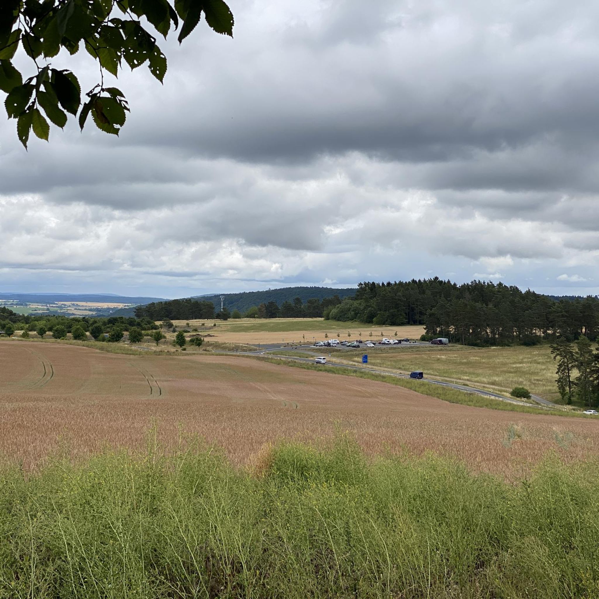
At this point, you have a beautiful view of the vast lake. Incidentally, there are quite a few lakes waiting for you in this region.
0
0

A scenic hiking trail and sweeping views of the city and harbor: a recipe for a very special hike.
0
0
From your high viewpoint, you can enjoy the sweeping views of the harbor. The ships look like small white dots in the water.
0
0

The Andersgrotta is a World War II air-raid shelter located in the center of Kirkenes. Civilians sought refuge here during the more than 300 air raids against Kirkenes. In the Andersgrotta, you can watch a film about Kirkenes during the war, based on archival and newly filmed footage.
1
0

This is the king crab, the symbol of Kirkenes.
0
0

Arguably one of the oldest houses in Kirkenes. The city was the most heavily bombed in Norway during World War II.
0
0

It's a great place for hiking.
0
0

The majestic landscape of the the Kirkenes Peninsula – perfect viewpoint to just take it all in.
0
0
Frequently Asked Questions
How many hiking trails are accessible directly from bus stations in Murmansk?
There are over two dozen hiking trails in Murmansk that are easily accessible from bus stations. This guide features 24 routes, offering a variety of options for exploring the region's unique Arctic landscapes.
What kind of terrain can I expect on bus station hikes in Murmansk?
The trails accessible from bus stations in Murmansk offer a mix of terrains, reflecting the region's diverse Arctic and subarctic landscapes. You can expect paths through birch forests, open tundra, and areas with panoramic views. Some routes, like the Skytterhusfjellet panoramic loop, feature moderate ascents, providing varied walking experiences.
Are there any easy, family-friendly hikes accessible by bus in Murmansk?
Yes, many of the bus-accessible trails are suitable for families and beginners. Out of the 24 routes, 18 are rated as easy. An excellent option is the Kirkenes Town Square – Kirkenes Church loop from Kirkenes, which is just under 5 km with minimal elevation gain, perfect for a relaxed outing.
What are the best times of year for hiking in Murmansk?
The best time for hiking in Murmansk is generally during the short summer months, from June to August, when the tundra is vibrant with wildflowers and the weather is milder. However, the region also offers unique experiences in other seasons, such as the chance to witness the Aurora Borealis from September to April. Winter hiking is possible but requires appropriate gear for snow and cold.
Are there any circular hiking routes available from Murmansk bus stations?
Yes, many of the routes are circular, allowing you to start and end at the same point, which is convenient when relying on public transport. Examples include the Prestevann Loop and the View of the Lake Prestevatn – Kirkenes Church loop from Kirkenes, both offering scenic round trips.
What interesting sights or landmarks can I see along these bus-accessible trails?
While hiking these trails, you might encounter various points of interest. Depending on the specific route, you could come across historical sites or unique natural formations. For example, the region features highlights like the Three-Country Cairn (Norway–Finland–Russia Border), the Rocky Mountain Road, or even the Crossing With Abandoned Railway. The Murmansk Regional Museum of Local Lore is also a notable attraction in the wider area.
What do other hikers enjoy most about the bus station trails in Murmansk?
The bus station trails in Murmansk are highly rated by the komoot community, with an average score of 4.6 out of 5 stars from 93 ratings. Hikers often praise the accessibility of these routes, the unique Arctic scenery, and the opportunity to experience the region's natural beauty without needing a car.
Are there any moderate difficulty hikes accessible by bus in Murmansk?
Yes, for those looking for a bit more challenge, there are 6 moderate difficulty routes accessible by bus. The Skytterhusfjellet panoramic loop, for instance, covers nearly 9 km with over 180 meters of elevation gain, offering rewarding views and a good workout.
Can I bring my dog on these bus-accessible hiking trails?
While specific regulations for each trail may vary, generally, many outdoor areas in Murmansk are dog-friendly. It's always recommended to keep your dog on a leash, especially in areas where wildlife might be present, such as reindeer or foxes, and to check local signage for any restrictions before you go.
What should I wear for hiking in Murmansk, especially when using public transport?
Given Murmansk's Arctic climate, layering is key. Even in summer, weather can be unpredictable, so bring waterproof and windproof outer layers. Sturdy, waterproof hiking boots are essential. In colder months, thermal base layers, insulated mid-layers, and warm hats, gloves, and scarves are crucial. Always check the forecast before heading out.
Are there any routes that offer views of lakes or coastal areas?
Yes, the Murmansk region is known for its pristine lakes and rugged coastal areas. Routes like the View of the Lake Prestevatn – Kirkenes Church loop from Kirkenes offer beautiful lake vistas. While specific bus-accessible routes might not directly reach the Barents Sea coast, the region itself, particularly around the Teriberka Peninsula, is renowned for its dramatic coastal landscapes and glacial fjords.
Most popular attractions in Murmansk

Get inspired with the komoot mobile app


Didn’t find what you were looking for?
Check out more Hikes throughout Murmansk below and find the perfect route in your destination.
Explore more
Browse the best Hikes in other regions.
