The best hikes from bus stations in British Columbia
4.6
(10444)
105,651
hikers
822
hikes
Bus station hiking trails in British Columbia offer access to a diverse range of natural landscapes, from rugged coastlines and ancient forests to majestic mountain ranges and glacial lakes. The region is characterized by its extensive network of trails, catering to various skill levels across varied terrain. Hikers can explore areas featuring towering peaks, dense woodlands, and expansive alpine meadows.
Best bus station hiking trails in British Columbia
- The most popular bus station hiking route is Helliwell Provincial Park loop…
Last updated: August 26, 2026
4.4
(17)
196
hikers
5.31km
01:28
100m
100m
Easy hike. Great for any fitness level. Easily-accessible paths. Suitable for all skill levels.
4.7
(17)
177
hikers
7.47km
01:58
60m
60m
Moderate hike. Great for any fitness level. Mostly accessible paths. Sure-footedness required.

Sign up for free
4.3
(3)
125
hikers
4.64km
01:13
40m
40m
Easy hike. Great for any fitness level. Easily-accessible paths. Suitable for all skill levels.
4.9
(14)
96
hikers
11.6km
03:32
400m
400m
Moderate hike. Good fitness required. Easily-accessible paths. Suitable for all skill levels.
4.7
(6)
87
hikers
6.85km
02:10
270m
270m
Moderate hike. Good fitness required. Easily-accessible paths. Suitable for all skill levels.
Get access to more routes and recommendations from other explorers.
Sign up for free
Already have an account?
Our route recommendations are based on thousands of hikes, rides, and runs completed by other people on komoot.
Start today with a free account
Your next adventure awaits.
Login or Signup
Popular around British Columbia
Hikes from bus stations in the Rocky Mountains
Hikes from bus stations in the Coast Mountains
Hikes from bus stations on Vancouver Island
Hikes from bus stations around Electoral Area A
Hikes from bus stations in Yoho National Park
Hikes from bus stations in Lower Seymour Conservation Reserve
Hikes from bus stations around Area C (Pemberton Valley/Mount Currie/D'Arcy)
Hikes from bus stations around Alberni-Clayoquot
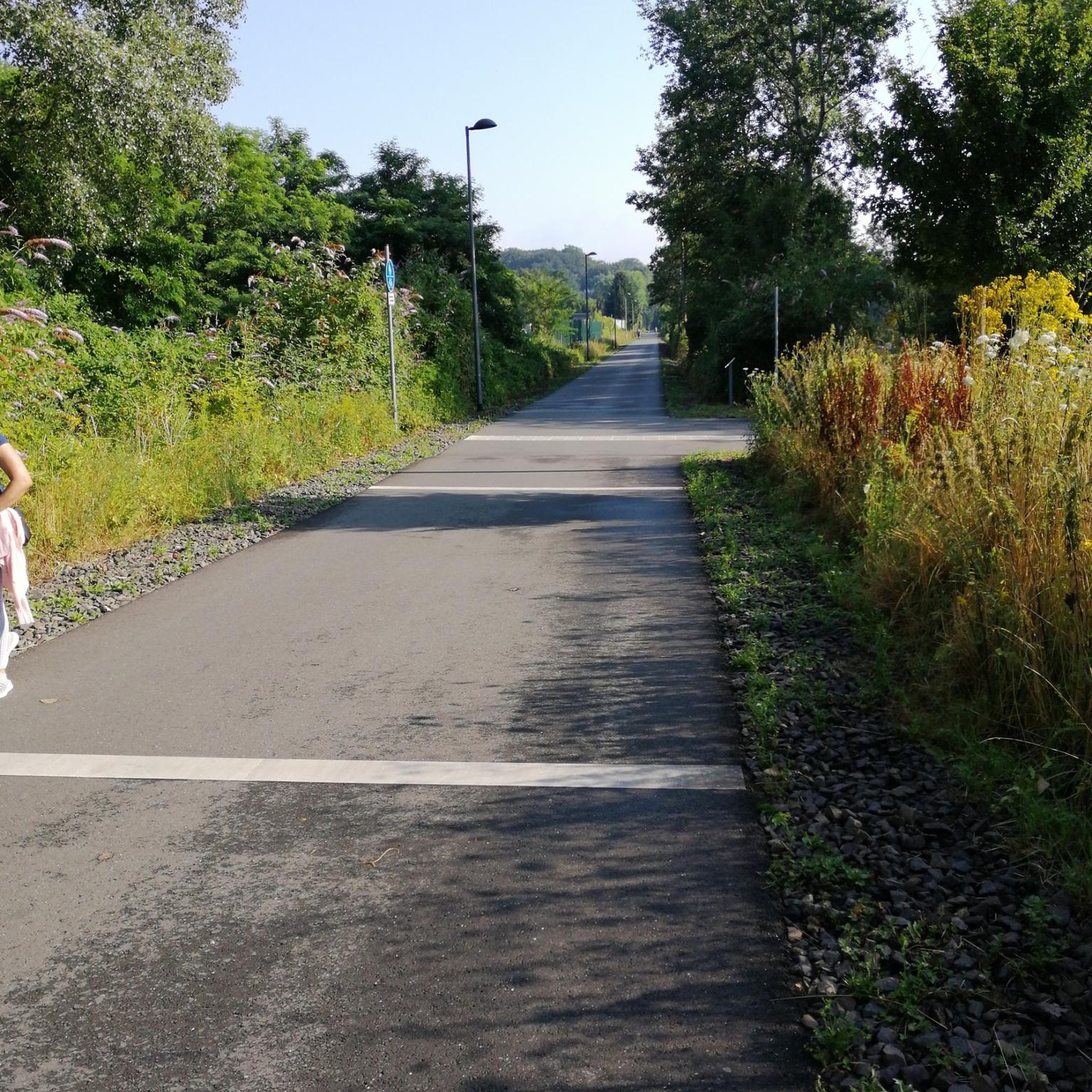
Hikes from bus stations around Nanaimo
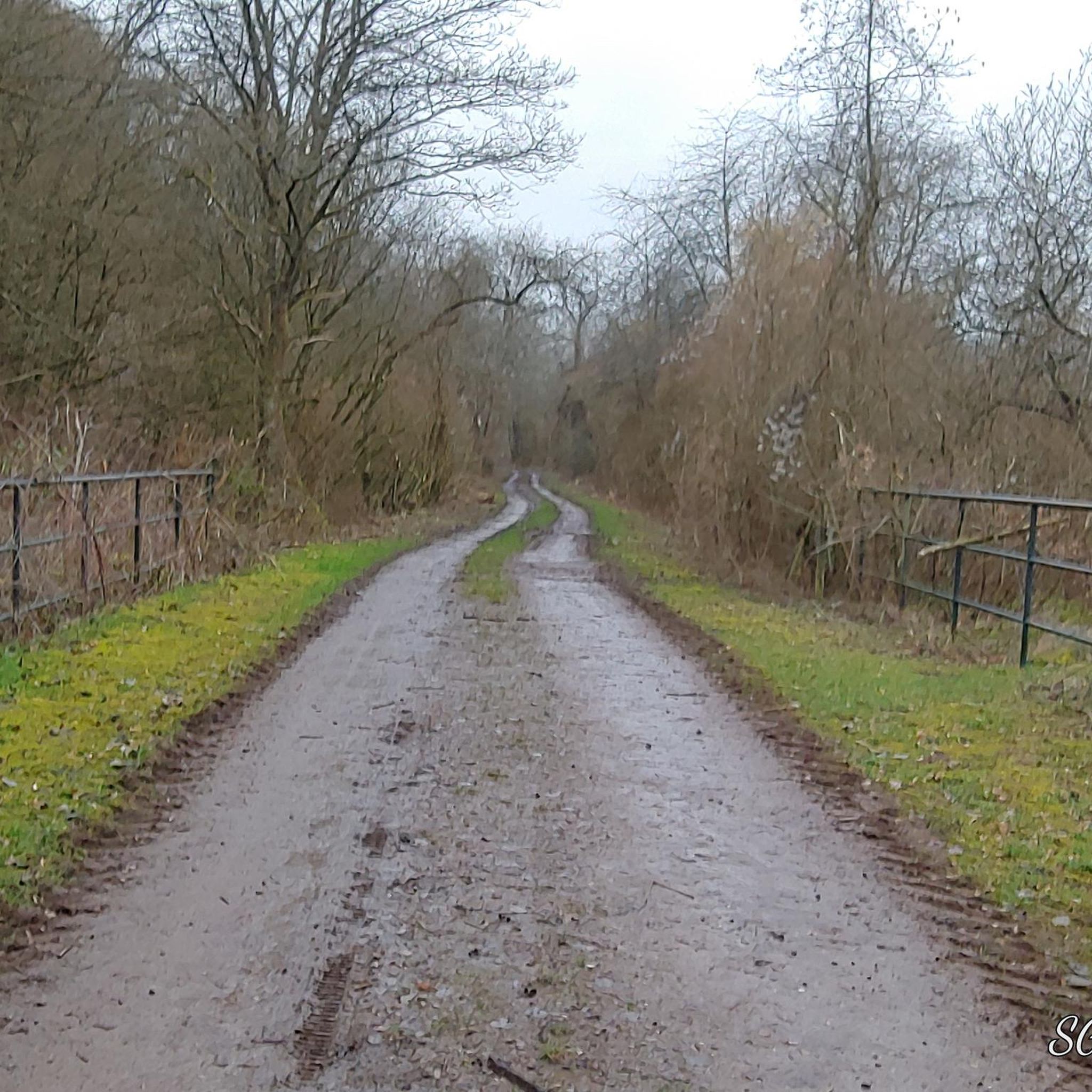
Hikes from bus stations around Vancouver
Other adventures in British Columbia


Tips from the Community

The path leading down to the Morrell Lake viewpoint transitions into well-maintained dirt and gravel tracks that are mostly flat and comfortable for hikers of all skill levels. Because this area is much more secluded, it is a prime spot for photography, or birdwatching without the crowds.
0
0
The park features a mix of dense forest areas and open spaces, meaning your views change as you explore. In the spring, you will see bright new growth, while the fall brings crisp air and beautiful autumn colors.
0
0

This wide, gravel trail is an easy path to take as a quick out and back hike or to combine with other trails for a nice loop. Keep in mind that it is multi-use, so you're likely to see cyclists on the path as well, but it's wide enough that there's plenty of room for everyone.
0
0
The Velodrome Trail is well known for its iconic wooden steps. The hundreds of stairs cover over 240-metres of elevation gain and are famous for the grueling workout they give hikers. However, the city of Burnaby has closed this section of trail due to erosion and unsafe conditions. As of June 2026 the stairs are closed indefinitely, while a plan is approved for their repair.
0
0

This is a terrific loop trail that follows the edge of the bluff, with open views across the water and steady exposure to wind and sea. It’s an easy 5 km route, mostly level through meadow and forest. There are several benches along the way for quiet places to pause, and in spring, the headland blooms with beautiful wildflowers.
0
0
This is a beautiful vantage point looking east across the Strait of Georgia, with rocky shoreline in the foreground and the snowy Coast Mountains rising behind Texada and Lasqueti Islands. This viewpoint is quiet and exposed, with driftwood scattered along the dark stone and benches tucked just back from the bluff. On clear days, the peaks stand out, framed by open water and the curve of Hornby’s southern coast, perfect for capturing a few memorable photos.
0
0
Helliwell Provincial Park is beautiful, home to a rare coastal ecosystem on the eastern tip of Hornby Island, where wind-sculpted bluffs meet old-growth Douglas fir and Garry oak. The park’s open meadows and cliffside forests overlook the Strait of Georgia, with fantastic views across the water to the Coast Mountains. It’s a quiet, exposed headland shaped by salt spray and ocean wind, known for its wildflowers, diverse birdlife, and fragile shoreline habitats.
0
0
The Boucherie Rush Trail winds its way to Mount Boucherie, with panoramic views of Okanagan Lake and the surrounding valley along the way. With about 275–299 metres of elevation gain, it can be a challenging trek with plenty of switchbacks, though it is well maintained with railings on steeper sections. Once you reach the summit, the nearly 360° views are breathtaking.
0
0
Frequently Asked Questions
How many bus station hiking trails are available in British Columbia?
There are over 850 hiking routes in British Columbia that are accessible from bus stations. These trails cater to various skill levels, with a significant number of easy and moderate options.
Are there easy hiking trails accessible by bus in British Columbia?
Yes, British Columbia offers many easy hiking trails reachable by bus. For a gentle coastal walk, consider the Helliwell Provincial Park loop — Hornby Island. Another accessible option is the Lake O'Hara Shoreline Trail loop, offering stunning views with minimal elevation gain.
What kind of natural attractions can I see along bus-accessible hiking trails in British Columbia?
British Columbia's bus-accessible trails often lead to spectacular natural features. You can discover impressive waterfalls like Wapta Falls or Nairn Falls. Many routes also pass through ancient forests, such as the Cathedral Trail, MacMillan Park, or offer views of unique rock formations like Siwash Rock (Slhx̱í7lsh).
Are there any family-friendly hiking routes accessible by bus?
Absolutely! Many trails are suitable for families. The easy routes mentioned, like the Helliwell Provincial Park loop, are great for all ages. British Columbia's diverse landscapes, from coastal paths to gentle forest trails, provide engaging experiences for children and adults alike.
Can I bring my dog on bus-accessible hiking trails in British Columbia?
Many trails in British Columbia are dog-friendly, but regulations vary by park and specific trail. It's always best to check the local park rules or trail descriptions before heading out with your furry friend. Generally, dogs are welcome on leash in many provincial parks and regional trails.
Are there any challenging bus-accessible hikes for experienced hikers?
Yes, for those seeking a challenge, British Columbia offers difficult bus-accessible routes. The Ultimate Lookout via Campbell Lake Trail — Harrison Hot Springs provides significant elevation gain and rewarding views. Another demanding option is the Mount Elphinstone Summit Trail, known for its strenuous climb and panoramic vistas.
What do other hikers enjoy most about bus-accessible hiking in British Columbia?
The komoot community highly rates hiking in British Columbia, with an average score of 4.6 stars. Reviewers often praise the stunning natural beauty, the variety of landscapes from coastal rainforests to alpine meadows, and the accessibility of these incredible trails via public transport.
When is the best time of year to go bus-accessible hiking in British Columbia?
The best time for hiking in British Columbia generally depends on the region and elevation. Summer (June to September) offers the most reliable weather for alpine trails and higher elevations. Spring and fall provide pleasant temperatures for coastal and lower-elevation hikes, often with fewer crowds and vibrant foliage or blooming wildflowers. Some lower-elevation trails may be accessible year-round.
Are there any circular hiking routes accessible by bus?
Yes, many bus-accessible routes in British Columbia are circular, allowing you to start and end at the same point without needing to retrace your steps. The Helliwell Provincial Park loop is a great example of an easy circular trail. These loops are ideal for exploring diverse scenery without logistical complexities.
Are there any trails that feature gorges or canyons accessible by bus?
Yes, British Columbia is home to impressive gorges and canyons that can be reached via bus-accessible trails. Lynn Canyon is a notable example, offering stunning views of the gorge and its suspension bridge. Other areas feature dramatic waterfalls within canyon settings, such as Brandywine Falls.
What should I pack for a bus-accessible hike in British Columbia?
Given British Columbia's varied and often unpredictable weather, it's wise to pack layers, including waterproof and windproof outerwear. Essential items include sturdy hiking boots, plenty of water, snacks, a first-aid kit, sun protection, and a map or GPS device. For bus travel, ensure you have your bus pass or fare, and consider a small backpack for comfort.
Are there any moderate bus-accessible hikes in British Columbia?
Yes, there are numerous moderate trails perfect for hikers looking for a bit more challenge than an easy walk but not a full-on difficult ascent. The Boucherie Rush Trail — Mount Boucherie Regional Park is a great moderate option, offering rewarding views and a good workout.
Most popular routes in British Columbia
Most popular attractions in British Columbia

Get inspired with the komoot mobile app


Didn’t find what you were looking for?
Check out more Hikes throughout British Columbia below and find the perfect route in your destination.
Explore more
Browse the best Hikes in other regions.
