The best hikes from bus stations in Bezirk Bruck-Mürzzuschlag
4.6
(7599)
57,429
hikers
732
hikes
Bus station hiking trails in Bezirk Bruck-Mürzzuschlag offer access to a diverse landscape in Styria, Austria. The region is characterized by the Hochschwab and Fischbacher Alpen mountain ranges, providing varied terrain from challenging alpine paths to gentle valley walks. Scenic river valleys like the Murtal and Mürztal, along with notable lakes such as Grüner See and Erlaufsee, contribute to the area's natural features. Protected areas like Naturpark Mürzer Oberland further preserve the rich biodiversity and landscapes for hikers.
Best bus…
Last updated: July 11, 2026
4.7
(232)
1,353
hikers
16.4km
06:52
1,100m
1,100m
Hard hike. Very good fitness required. Mostly accessible paths. Sure-footedness required.
4.6
(20)
153
hikers
15.0km
05:17
830m
830m
Hard hike. Very good fitness required. Easily-accessible paths. Suitable for all skill levels.

Sign up for free
4.8
(235)
1,700
hikers
10.0km
03:02
310m
310m
Moderate hike. Good fitness required. Easily-accessible paths. Suitable for all skill levels.
4.6
(95)
778
hikers
Easy hike. Great for any fitness level. Easily-accessible paths. Suitable for all skill levels.
4.7
(35)
349
hikers
12.0km
06:01
1,080m
1,080m
Hard hike. Very good fitness required. Mostly accessible paths. Sure-footedness required.
Get access to more routes and recommendations from other explorers.
Sign up for free
Already have an account?
Our route recommendations are based on thousands of hikes, rides, and runs completed by other people on komoot.
Start today with a free account
Your next adventure awaits.
Login or Signup
Popular around Bezirk Bruck-Mürzzuschlag

Hikes from bus stations in Mürzer Oberland

Hikes from bus stations around Bruck an der Mur

Hikes from bus stations around Tragöß-Sankt Katharein

Hikes from bus stations around Neuberg an der Mürz

Hikes from bus stations around Sankt Lorenzen im Mürztal
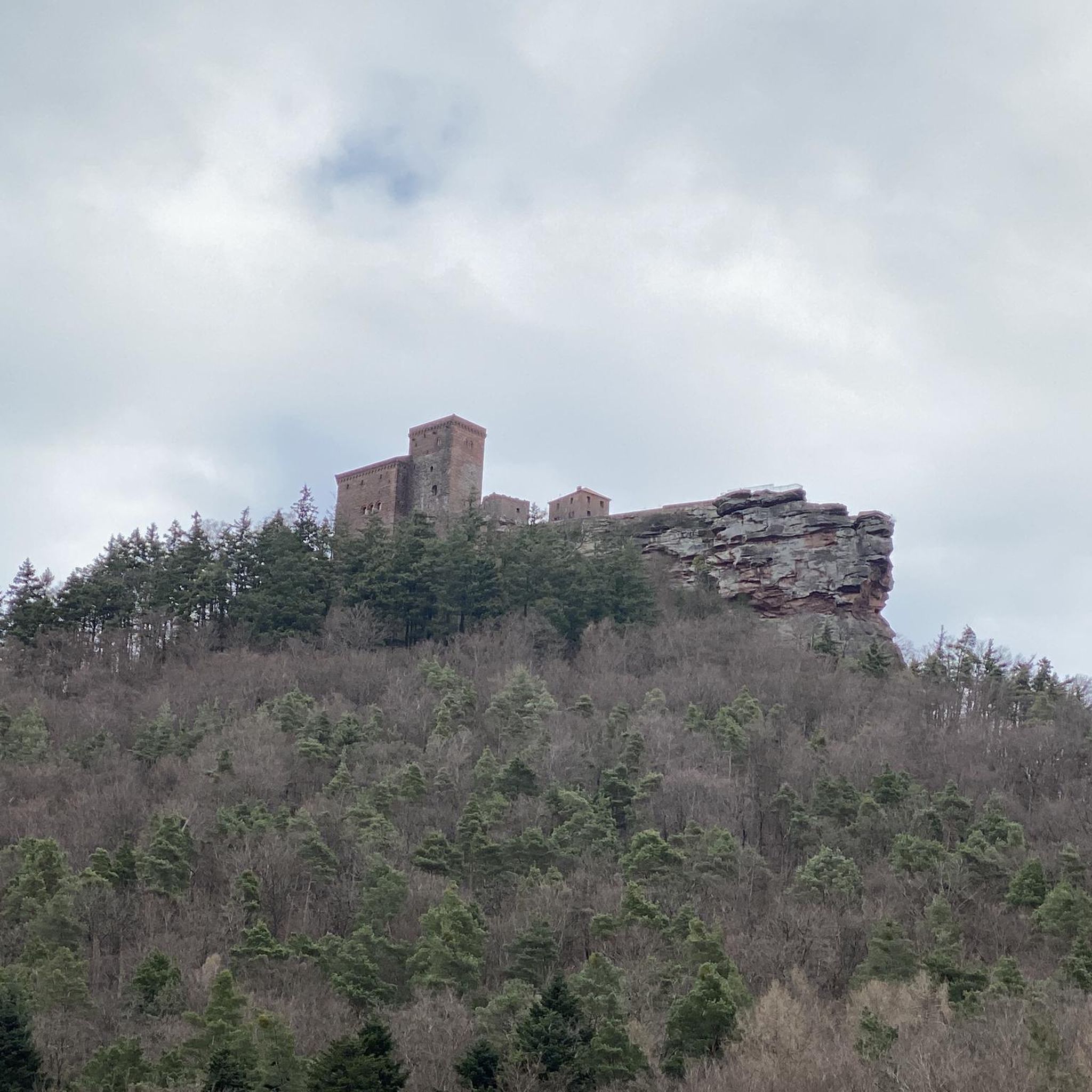
Hikes from bus stations around Turnau
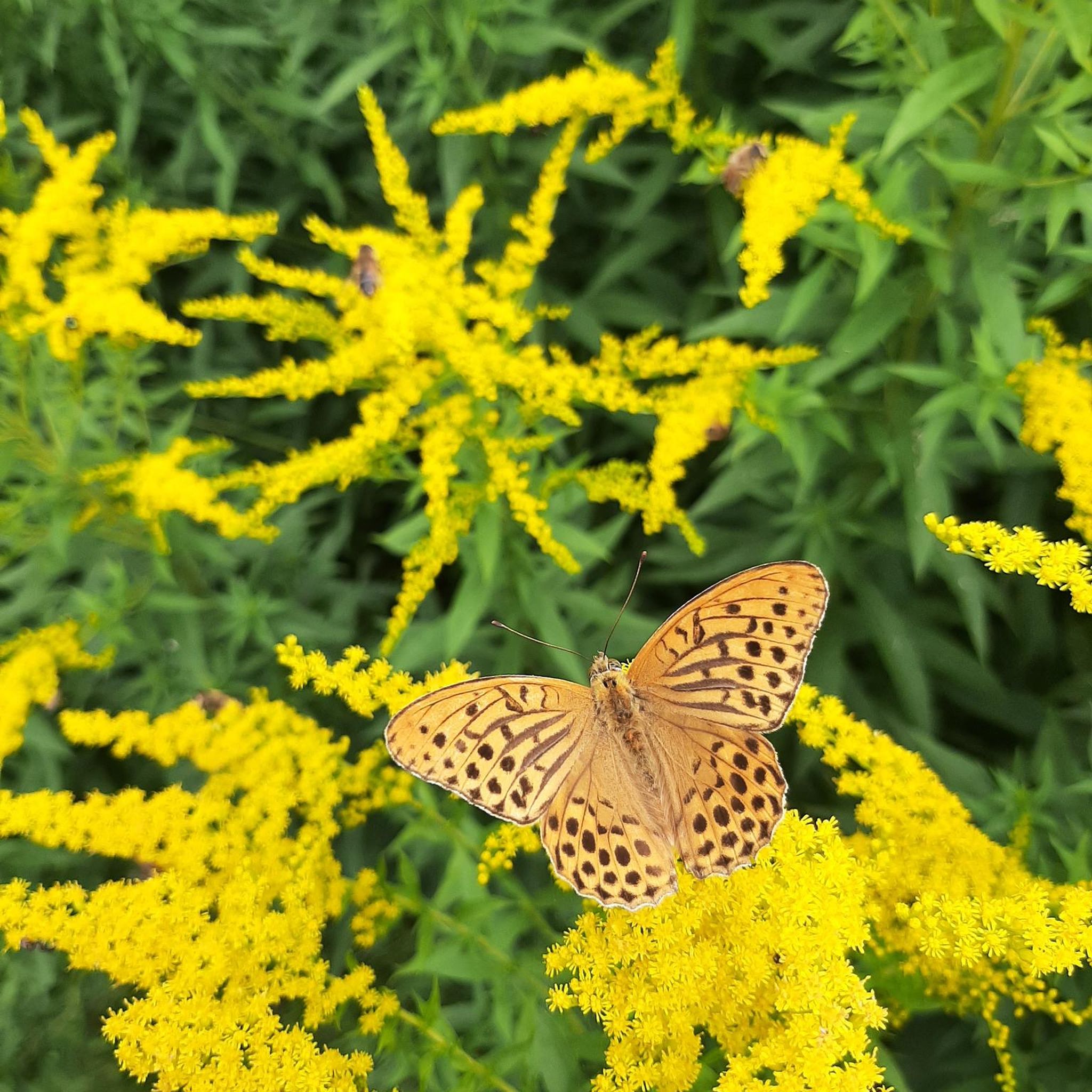
Hikes from bus stations around Stanz im Mürztal
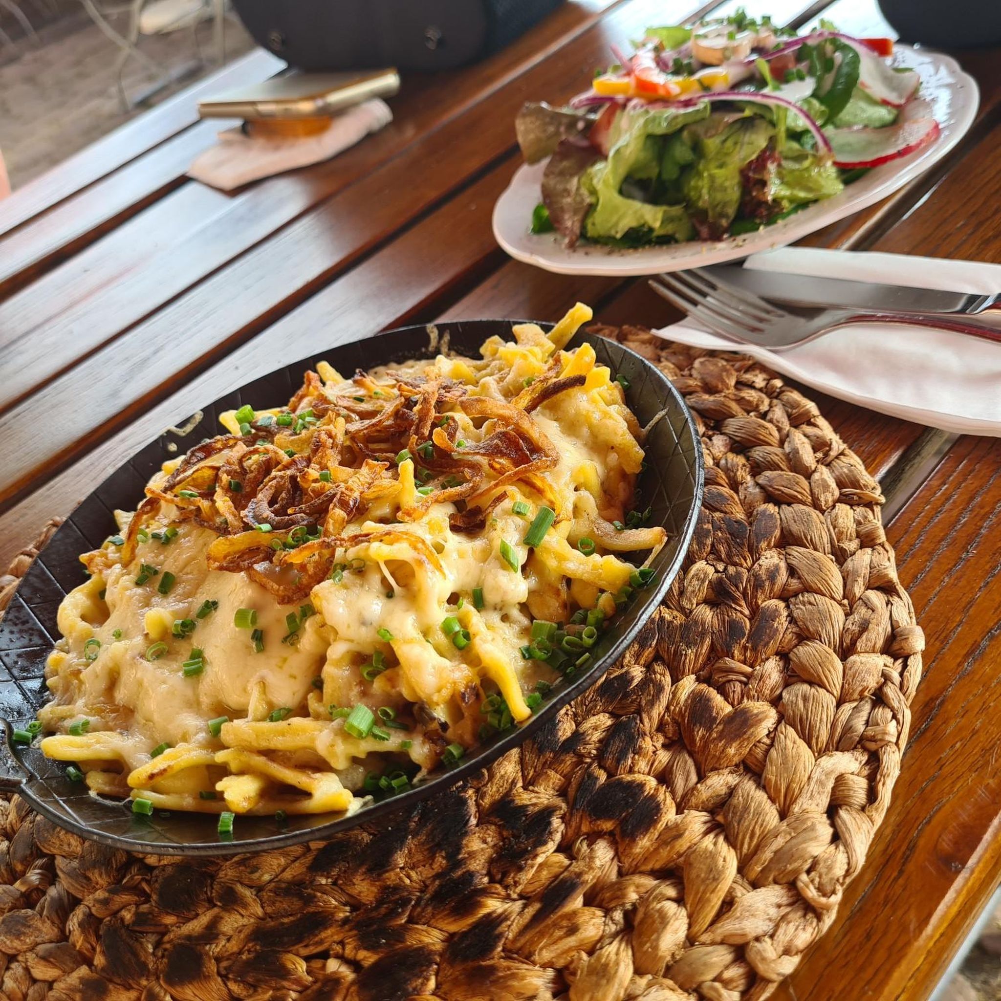
Hikes from bus stations around Mürzzuschlag

Hikes from bus stations around St. Barbara im Mürztal
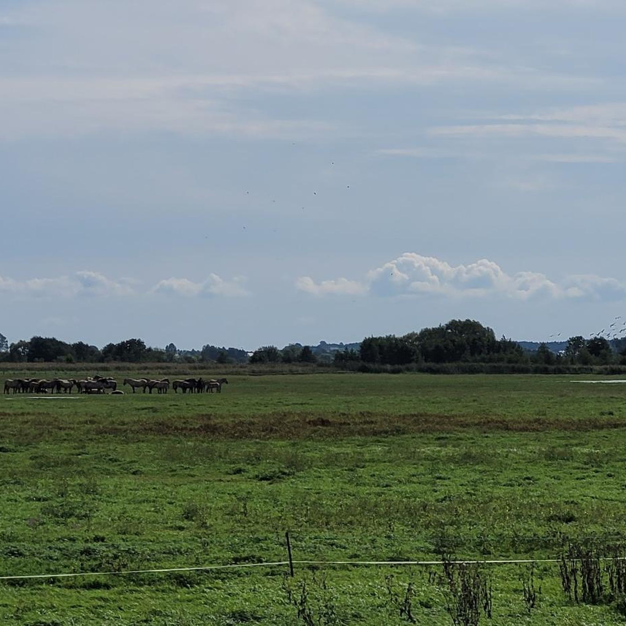
Hikes from bus stations around Kindberg
Other adventures in Bezirk Bruck-Mürzzuschlag


Tips from the Community

Super view of the lake
3
0
Nice staff, great apple strudel
3
0
It's really fun to ride a lap
3
0
Here you can do nice laps with the pedal boat
3
0
Old beautiful drinking fountain, perfect for refilling water
3
0

Entry fee for adults is 10€ (2026) and office works till 16:00 (4pm)
0
0

A great hut. Great very tasty and generous food.
0
0
Frequently Asked Questions
How many bus station hiking trails are available in Bezirk Bruck-Mürzzuschlag?
There are over 730 hiking trails in Bezirk Bruck-Mürzzuschlag that are accessible from bus stations. These include more than 250 easy routes, 350 moderate routes, and over 130 difficult routes, catering to various fitness levels and preferences.
What kind of terrain and elevation can I expect on these bus-accessible hikes?
The region offers diverse terrain, from gentle paths in the scenic Murtal and Mürztal river valleys to challenging alpine tours in the majestic Hochschwab and Fischbacher Alpen mountain ranges. You can find routes with minimal elevation gain, like the View of Lake Erlaufsee – Erlaufsee loop, as well as demanding ascents with over 1000 meters of elevation, such as the Mixnitz-Bärenschützklamm gorge loop.
Are there any family-friendly hiking options accessible by bus?
Yes, Bezirk Bruck-Mürzzuschlag offers many family-friendly routes. The region has over 420 easy routes, many of which are suitable for families. For example, the View of Lake Erlaufsee – Erlaufsee loop is an easy 5.2 km trail with minimal elevation, perfect for a leisurely family outing near the beautiful Erlaufsee.
Can I bring my dog on these bus-accessible hiking trails?
Many trails in Bezirk Bruck-Mürzzuschlag are dog-friendly, allowing you to enjoy the natural beauty with your canine companion. However, it's always advisable to check specific trail regulations, especially in protected areas like the Naturpark Mürzer Oberland, and to keep dogs on a leash where required. Always ensure your dog is well-behaved and that you carry waste bags.
What natural features or landmarks can I see along bus station hiking trails?
You can discover numerous natural features and landmarks. Highlights include the stunning Green Lake, famous for its seasonal transformation, and the serene Hubertussee. The region also features impressive mountain ranges like Hochschwab and Fischbacher Alpen, offering breathtaking panoramic views from peaks such as Hochschwabgipfel and Windberg.
Are there any circular routes that start and end at a bus station?
Yes, many bus-accessible trails are circular, allowing for convenient return to your starting point. An example is the Himmelreichbauer Farmhouse – Herzerl Hut loop from Pogusch, a moderate 10 km route that brings you back to where you began.
What is the best time of year to hike from bus stations in Bezirk Bruck-Mürzzuschlag?
The best time to hike generally depends on the specific trail and your preferences. Spring and summer offer lush greenery and pleasant temperatures, ideal for exploring lakes like the Green Lake when its water levels are highest. Autumn provides stunning foliage. Some higher alpine routes may be challenging or inaccessible in winter due to snow, but lower valley paths can still be enjoyed.
Are there any huts or restaurants along the bus-accessible hiking routes?
Yes, many trails in the region pass by or lead to mountain huts and restaurants where you can rest and refuel. For instance, the area around Pogusch features places like Steirereck at Pogusch. Other highlights include the Almgasthaus Stroßeggwirt and Häuslalm Mountain Hut, providing opportunities for refreshments during your hike.
What are some easy bus-accessible hikes for beginners?
For beginners, there are over 250 easy routes to choose from. A great option is the View of Lake Erlaufsee – Erlaufsee loop from Museumstramway Mariazell-Erlaufsee. This 5.2 km loop offers beautiful views of Lake Erlaufsee with minimal elevation gain, making it perfect for those new to hiking or looking for a relaxed walk.
How do other hikers rate the bus station trails in Bezirk Bruck-Mürzzuschlag?
The bus station hiking trails in Bezirk Bruck-Mürzzuschlag are highly rated by the komoot community, with an average score of 4.6 stars. Hikers frequently praise the diverse landscapes, well-maintained paths, and the accessibility of stunning natural attractions like the Green Lake and Erlaufsee via public transport.
Can I reach the famous Green Lake by bus and find a hike there?
Yes, the Green Lake near Tragöß-Sankt Katharein is accessible by bus. From there, you can embark on trails like the View of Grüner See – Messnerin Summit loop, which offers a challenging hike with incredible views of the lake and surrounding mountains.
Are there any challenging mountain hikes accessible by bus?
Absolutely. For experienced hikers seeking a challenge, routes like the Erlaufsee to the Gemeindealpe via the Brach offer significant elevation gain and demanding terrain. The region's mountain ranges, including Hochschwab, provide numerous difficult trails with rewarding panoramic views, many of which are reachable via public transport connections.
Most popular routes in Bezirk Bruck-Mürzzuschlag
Most popular attractions in Bezirk Bruck-Mürzzuschlag

Get inspired with the komoot mobile app


Didn’t find what you were looking for?
Check out more Hikes throughout Bezirk Bruck-Mürzzuschlag below and find the perfect route in your destination.
Explore more
Browse the best Hikes in other regions.
