The best hikes from bus stations in Bernina
4.7
(1139)
8,364
hikers
36
hikes
Bus station hiking trails in Bernina navigate a dramatic alpine landscape, characterized by majestic peaks, extensive glaciers, and pristine alpine lakes. The region features diverse valleys and meadows, offering varied terrain from high-altitude passes to verdant lowlands. Hikers can expect significant elevation changes across a well-established network of trails.
Best bus station hiking trails in Bernina
- The most popular bus station hiking route is Mountain lake loop, a 9.6 mile (15.5 km) trail that takes 5 hours 36 minutes…
Last updated: May 16, 2026
4.8
(104)
776
hikers
15.5km
05:36
670m
670m
Hard hike. Very good fitness required. Sure-footedness, sturdy shoes and alpine experience required.
4.8
(103)
770
hikers
15.4km
05:31
660m
660m
Hard hike. Very good fitness required. Sure-footedness, sturdy shoes and alpine experience required.

Sign up for free
3.0
(2)
13
hikers
11.0km
03:49
600m
600m
Moderate hike. Good fitness required. Easily-accessible paths. Suitable for all skill levels.
4.8
(68)
648
hikers
13.0km
04:29
550m
550m
Hard hike. Good fitness required. Sure-footedness, sturdy shoes and alpine experience required.
4.8
(12)
111
hikers
19.9km
07:25
900m
900m
Hard hike. Very good fitness required. Sure-footedness, sturdy shoes and alpine experience required.
Get access to more routes and recommendations from other explorers.
Sign up for free
Already have an account?
Our route recommendations are based on thousands of hikes, rides, and runs completed by other people on komoot.
Start today with a free account
Your next adventure awaits.
Login or Signup
Popular around Bernina
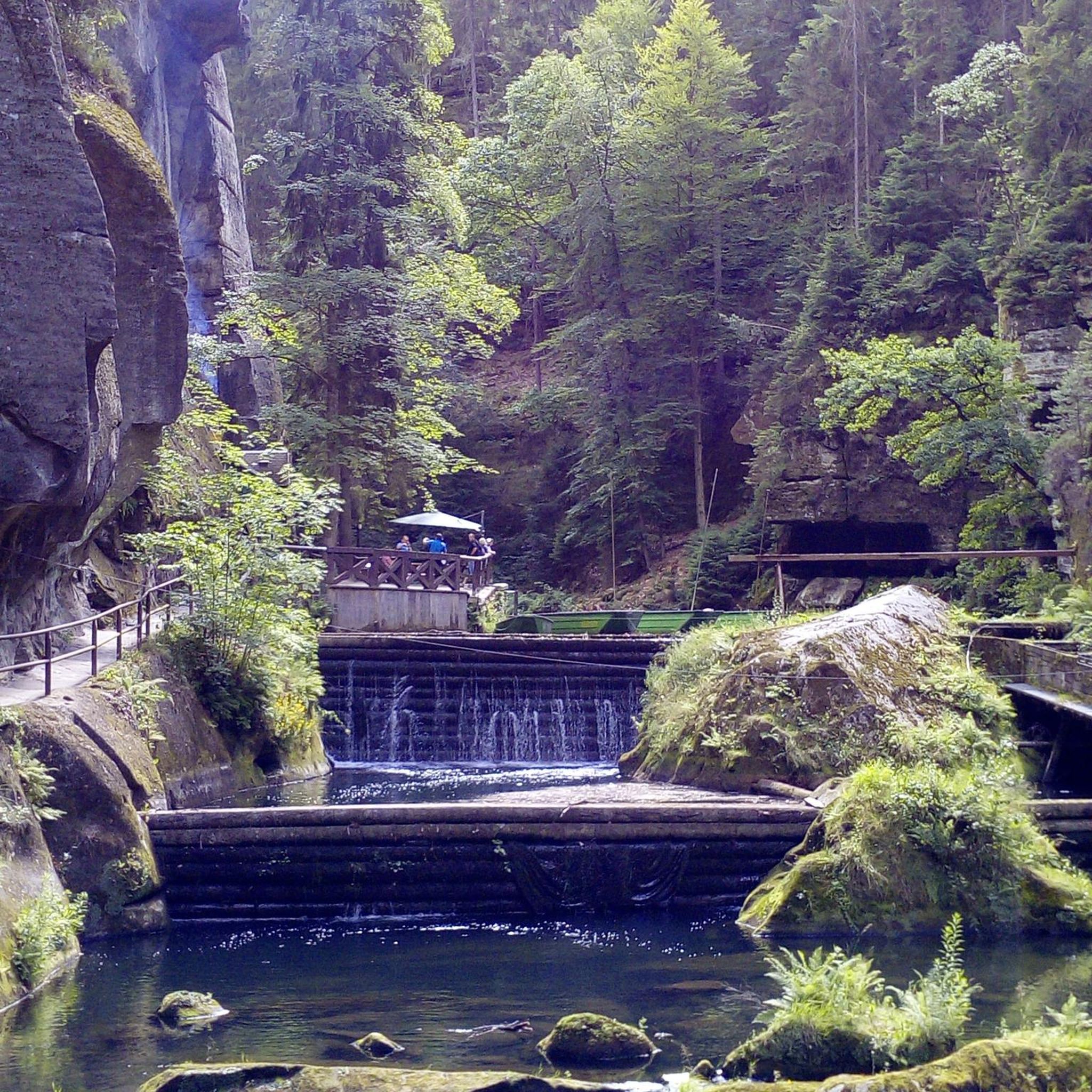
Hikes from bus stations around Lake Bianco

Hikes from bus stations around Lake Poschiavo
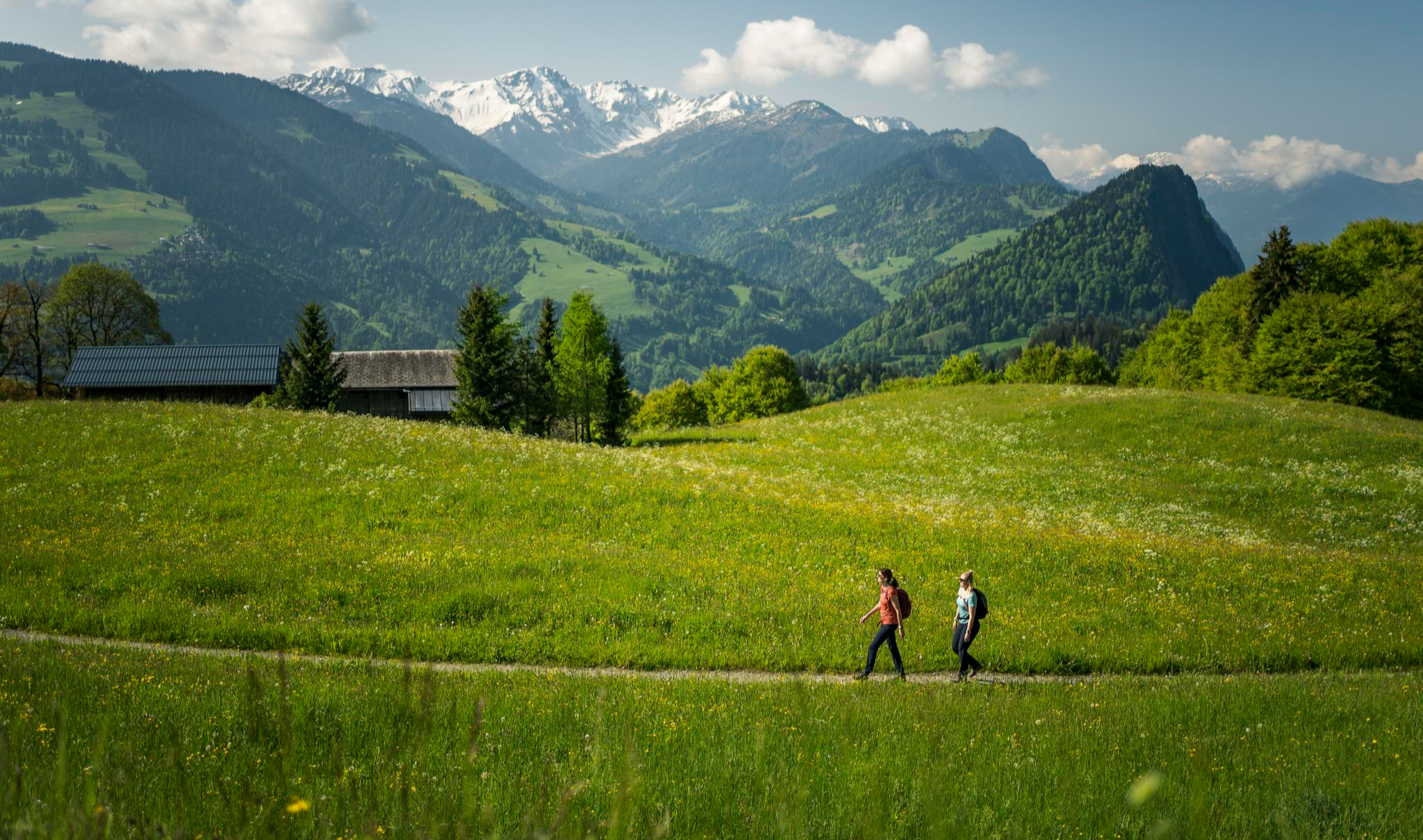
Hiking with respect and tolerance – it just makes sense!
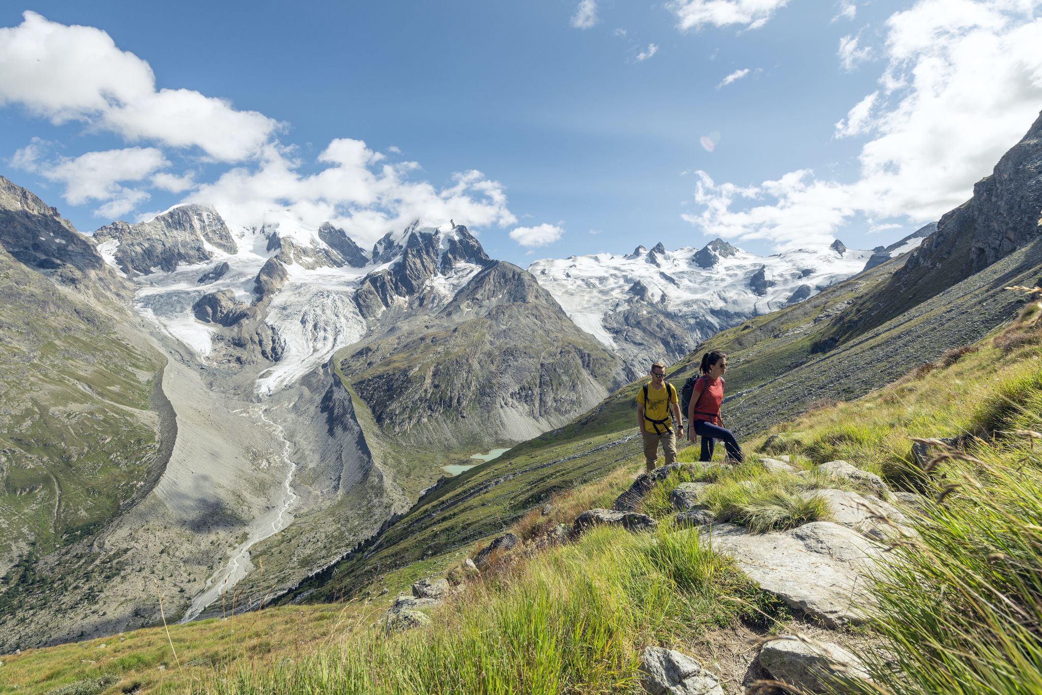
Via Engiadina and Bernina Tour – long-distance hiking in the Engadine
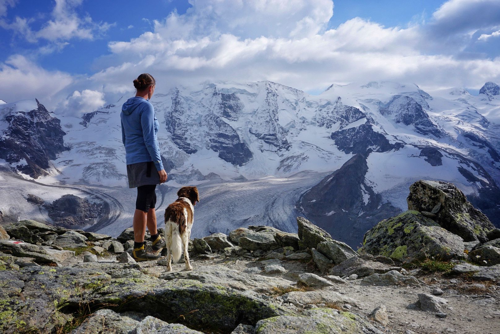
Bernina Tour – 8 days around the only 4,000er peak in the Eastern Alps
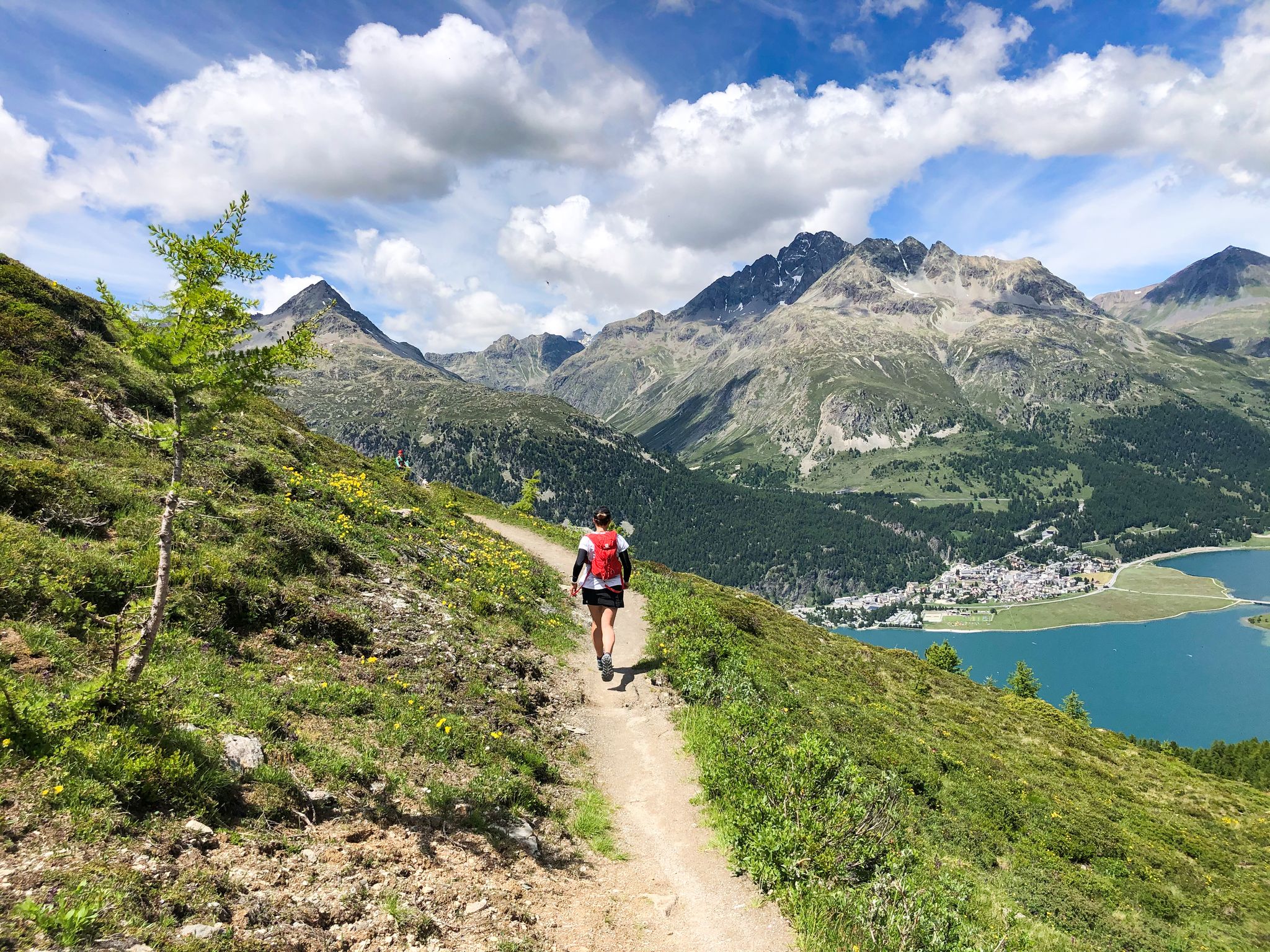
Bernina Tour – Trail running the highest mountain in the Eastern Alps
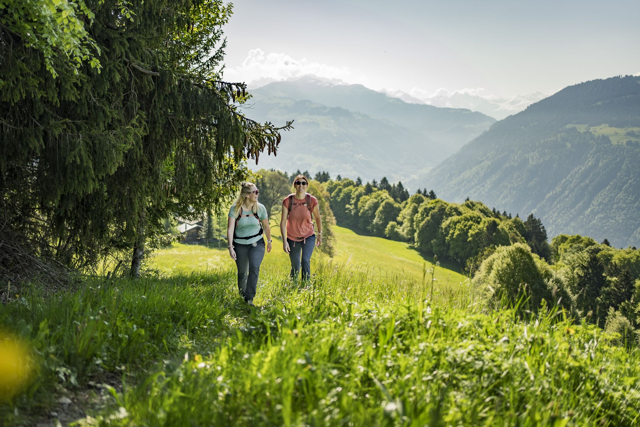
Consideration on the trails – it just makes sense!
Step into the hiking season – spring routes in Graubünden
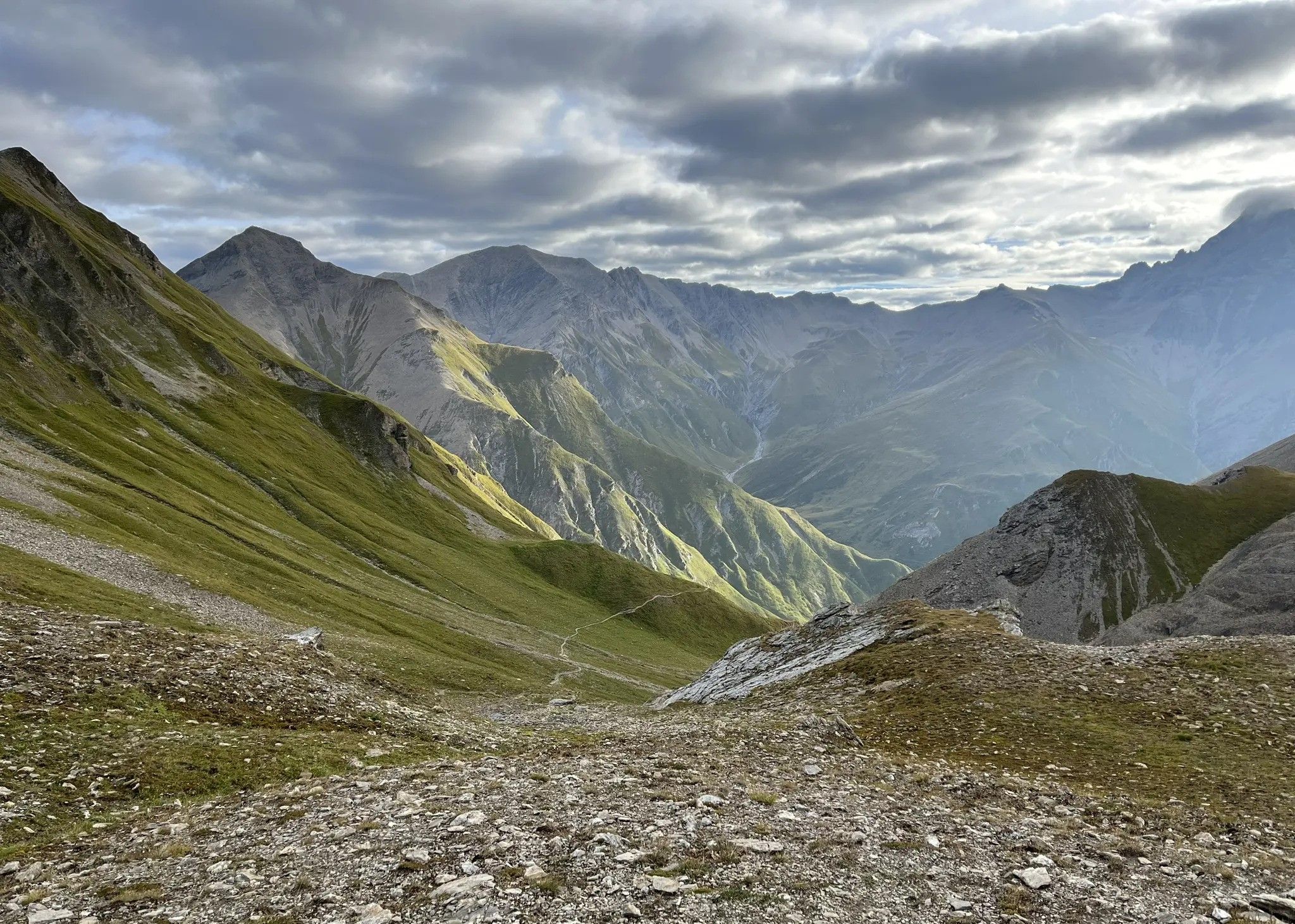
A border-crossing MTB adventure in the Alps – Trans-Altarezia Bike
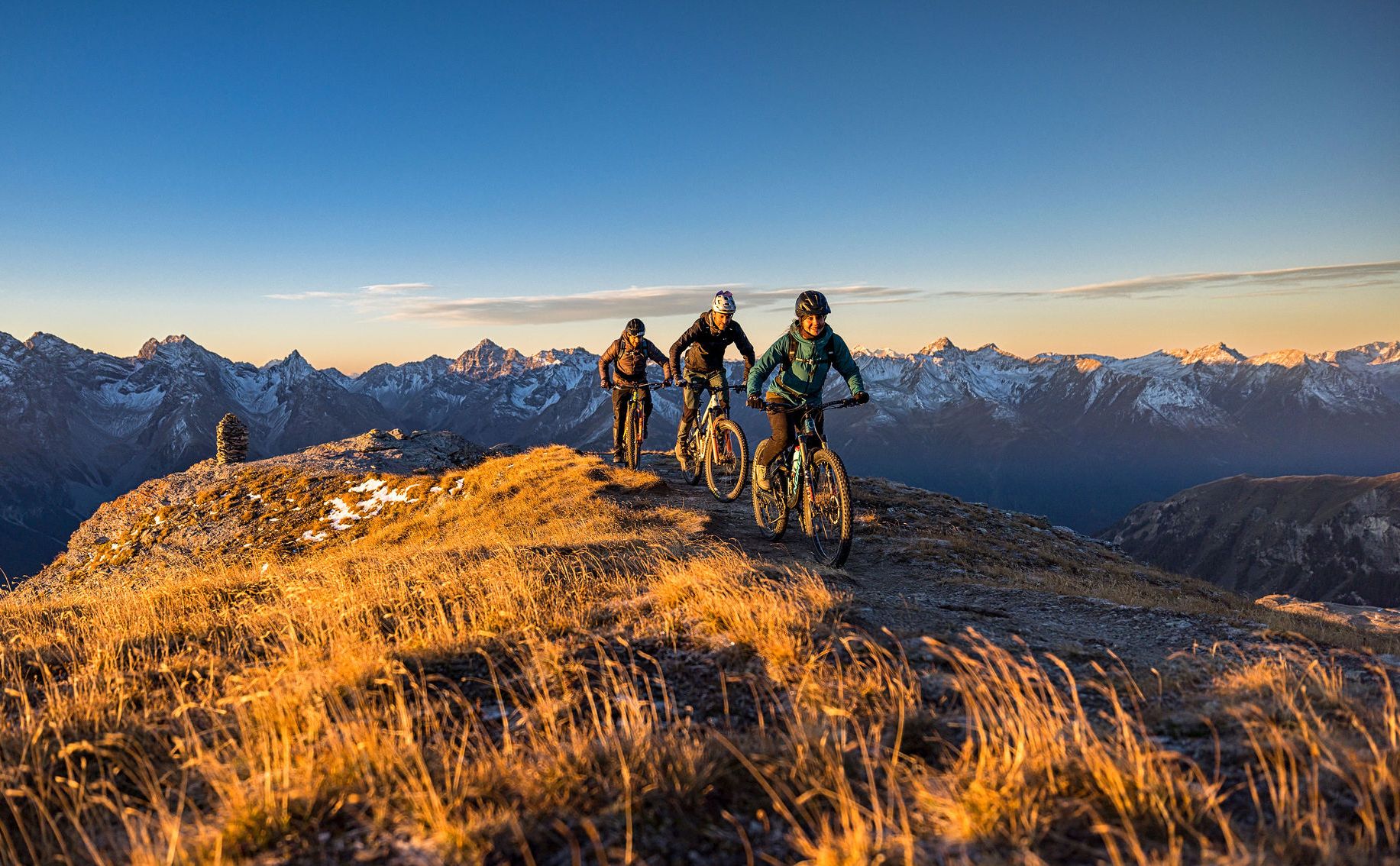
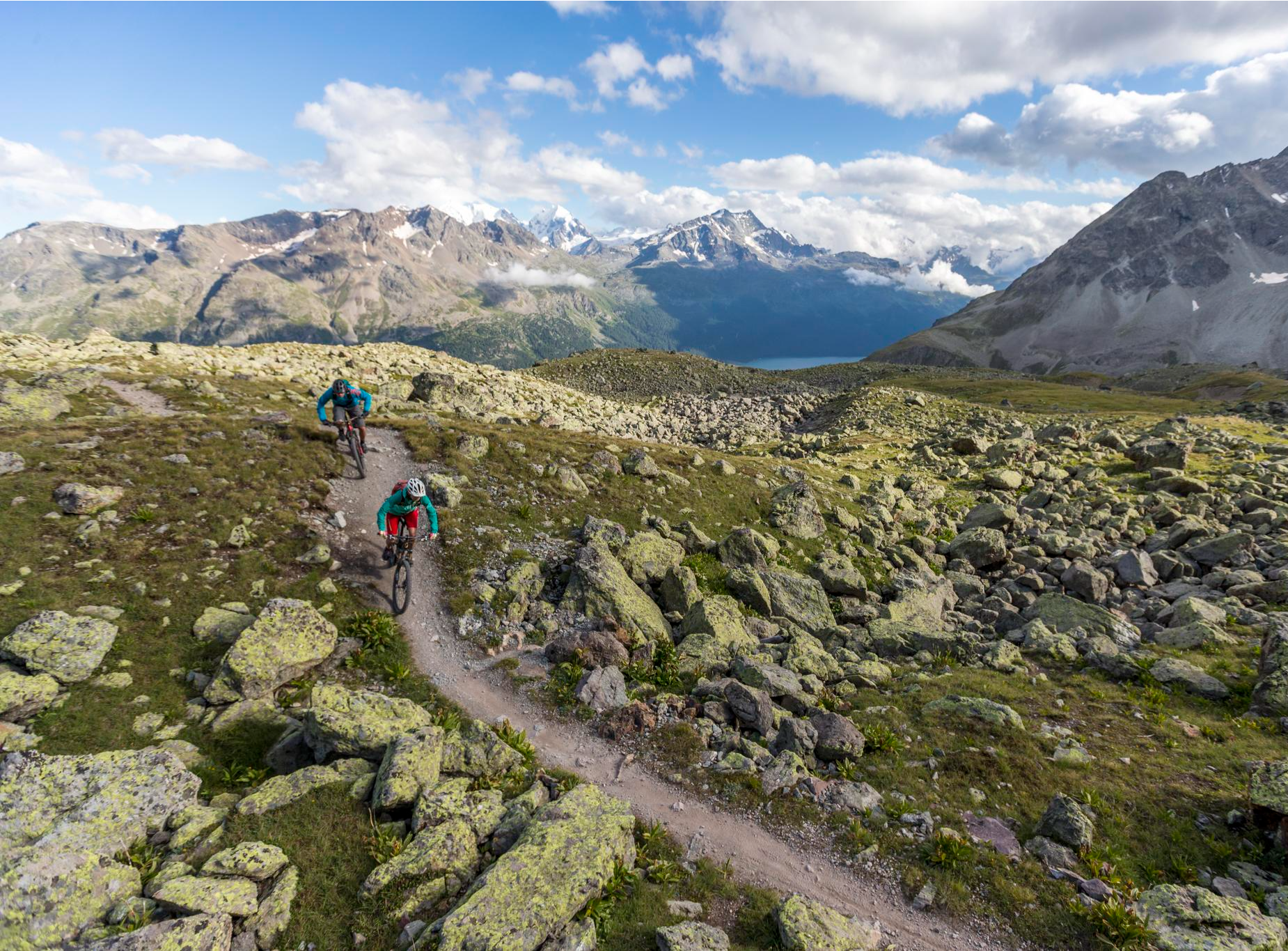
These 5 enduro bike tours will make you happy
Other adventures in Bernina


Tips from the Community

wonderful landscape here, simply unique
0
0
beautiful landscape here, simply unique
1
0
beautiful landscape here, simply unique
1
0

A beautiful mountain lake. If you're in the area...a hike in Val da Camp is a real MUST. There are barbecue areas by the lake and plenty of space to simply enjoy the peace and quiet.
0
0

Easily accessible place along a path suitable for everyone
0
0

‼️ be careful, the route is not suitable for cycling, don't make our mistake
0
0
Spectacular landing after a long climb where you can fill your heart
0
0

really very very beautiful https://www.youtube.com/watch?v=Fsgbz_hkORE
0
0
Frequently Asked Questions
How many hiking trails accessible by bus are there in Bernina?
There are over 35 hiking trails in the Bernina region that are easily accessible from bus stations, offering a wide range of experiences for all skill levels. These routes have been carefully selected to ensure convenient public transport access.
What are the typical difficulty levels for bus-accessible hikes in Bernina?
The bus-accessible hikes in Bernina range from easy to difficult. You'll find 9 easy routes, 15 moderate routes, and 13 difficult routes. This variety ensures there's a suitable trail for every hiker, whether you're looking for a gentle stroll or a challenging alpine ascent.
Are there family-friendly hiking trails accessible by bus in Bernina?
Yes, Bernina offers several family-friendly hiking trails accessible by bus. Many of the 9 easy routes are suitable for families, often leading to pristine alpine lakes or through scenic valleys. These trails provide opportunities to enjoy the stunning landscapes without overly strenuous climbs.
Can I bring my dog on bus-accessible hikes in Bernina?
Yes, many trails in Bernina are dog-friendly. When hiking with your dog, always keep them on a leash, especially in areas with grazing livestock or wildlife like marmots and ibex. Ensure you carry enough water for both yourself and your dog, and be mindful of local regulations regarding public transport for pets.
Are there circular hiking routes starting from bus stations in Bernina?
Absolutely. Bernina features several excellent circular routes that you can start and end at a bus station. For example, the Mountain lake loop and the Val da Camp and Lakes Trail are popular options that allow you to experience the region's beauty without needing to retrace your steps.
What kind of natural features can I expect to see along these bus-accessible trails?
The bus-accessible trails in Bernina showcase a wealth of natural beauty. You can expect to encounter majestic peaks, extensive glaciers like Morteratsch and Palü, and pristine alpine lakes such as Lake Saoseo and Lago Bianco. Many routes also traverse diverse valleys like Val da Camp and Val Roseg, offering views of alpine flora and opportunities to spot wildlife.
Are there any interesting landmarks or points of interest along the bus-accessible routes?
Yes, several routes pass by notable landmarks. You might encounter the impressive Giant's Pots of Cavaglia (Glacier Garden), a unique geological formation, or enjoy panoramic views from high-altitude points like the Bernina Pass. The Ospizio Bernina Railway Station itself is a significant point of interest, situated at the main European water divide.
What is the best time of year to hike the bus-accessible trails in Bernina?
The best time for hiking in Bernina is generally from late spring (June) to early autumn (October). During these months, the trails are mostly free of snow, alpine flowers are in bloom, and the weather is typically more stable. Always check local weather forecasts and trail conditions before heading out, as high-altitude areas can experience sudden changes.
Are there any routes that offer views of the Bernina glaciers?
Many trails in the Bernina region provide spectacular views of its famous glaciers. Routes around Diavolezza and the Bernina Pass often offer direct vistas of the Morteratsch, Pers, and Palü glaciers. The region is home to Piz Bernina, the highest mountain in the Eastern Alps, surrounded by these impressive ice formations.
What is the average duration of these bus-accessible hikes?
The duration of these hikes varies significantly depending on the route's length and difficulty. For instance, the Smugglers' and Memory Trail is a moderate hike that typically takes around 3 hours and 45 minutes, while more challenging routes like the Lake Saoseo – Lake Val Viola loop from Sfazù, Fermata can take over 4 hours. Always check the estimated duration for your chosen trail.
What do other hikers enjoy most about hiking in Bernina?
The Bernina region is highly rated by the komoot community, with an average score of 4.67 stars. Reviewers often praise the breathtaking alpine vistas, the pristine quality of the numerous lakes, and the well-maintained network of trails that cater to various fitness levels. The convenience of public transport access to trailheads is also frequently highlighted.
Most popular routes in Bernina
Most popular attractions in Bernina

Get inspired with the komoot mobile app


Didn’t find what you were looking for?
Check out more Hikes throughout Bernina below and find the perfect route in your destination.
Explore more
Browse the best Hikes in other regions.
