The best hikes from bus stations in Wasseramt
4.5
(561)
3,498
hikers
106
hikes
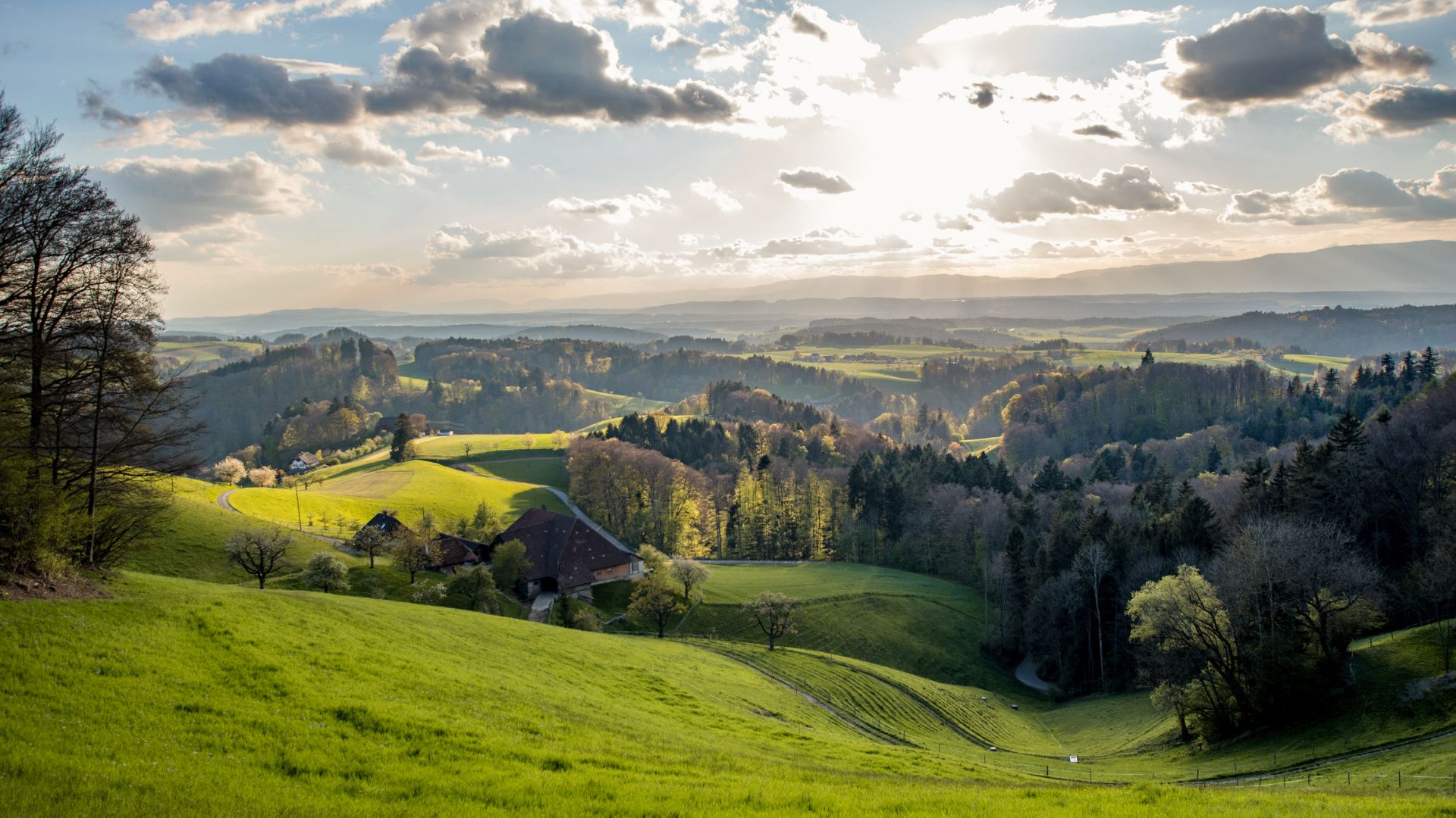
Bus Station hikes Wasseramt are characterized by the district's abundant water features, including the Aare and Emme rivers and the Burgäschisee and Inkwilersee lakes. The terrain primarily consists of agricultural areas and forested land, offering varied scenery for outdoor activities. This region in the canton of Solothurn provides a network of trails that traverse green landscapes and connect charming farming villages. The elevation changes are generally gentle, making many routes accessible for various fitness levels.
Best bus station hiking trails in Wasseramt
- The most popular bus station hiking route is Idyllic Aare River – Aareweg Footbridge loop from Solothurn, a 4.7 miles (7.5 km) trail that takes 1 hour 54 minutes to complete. This easy route follows the scenic Aare River.
- Another top favourite among local hikers is Duck Pond and Aviary Bern loop from Bezirk Wasseramt, an easy 3.7 miles (5.9 km) path. This route offers a pleasant walk around a duck pond and aviary.
- Local hikers also love the Attisholz South Area – Aareweg Footbridge loop from Luterbach, a 7.8 miles (12.5 km) trail leading through riverside landscapes, often completed in about 3 hours 13 minutes.
- Hiking in Wasseramt is defined by serene lake environments, flowing rivers, and a mix of agricultural and forested landscapes. The extensive network of routes offers options for different ability levels, from easy strolls to moderate excursions.
- The routes in Wasseramt are highly rated by the komoot community with an average score of 4.5 stars from more than 500 reviews. More than 3000 hikers have used komoot to explore Wasseramt's varied terrain.
Last updated: June 28, 2026
4.8
(29)
411
hikers
7.52km
01:54
20m
20m
Easy hike. Great for any fitness level. Easily-accessible paths. Suitable for all skill levels.
5.0
(6)
77
hikers
5.94km
01:31
20m
20m
Easy hike. Great for any fitness level. Easily-accessible paths. Suitable for all skill levels.

Sign up for free
4.7
(30)
221
hikers
12.5km
03:14
70m
70m
Moderate hike. Good fitness required. Easily-accessible paths. Suitable for all skill levels.
4.8
(6)
80
hikers
5.29km
01:24
50m
50m
Easy hike. Great for any fitness level. Easily-accessible paths. Suitable for all skill levels.
5.0
(1)
55
hikers
8.03km
02:03
30m
30m
Moderate hike. Good fitness required. Easily-accessible paths. Suitable for all skill levels.
Get access to more routes and recommendations from other explorers.
Sign up for free
Already have an account?
Our route recommendations are based on thousands of hikes, rides, and runs completed by other people on komoot.
Start today with a free account
Your next adventure awaits.
Login or Signup


Other adventures in Wasseramt

Tips from the Community

Section with numerous benches. Ideal for a short break.
0
0
Pleasant to run section with a view of the Emme.
0
0

Stylish accommodation in a former industrial building directly on the Aare River. Urban design, comfortable rooms, and easy self check-in. Perfect for culture enthusiasts and explorers, with restaurants, events, and nature right on your doorstep.
0
0

Wide walkway under/next to the car bridge, offering excellent views of the old town. A good route from the train station to the old town.
3
0

Great loop. Approximately 5 km with the red bridge
1
0

1881 Kantine - the culinary meeting place on the Aare. Succulent meat specialties or vegan delicacies, freshly prepared daily - whether to take away or enjoy on site. Info: https://www.1881kantine.ch/de/
0
0

Stylistically inspired by Italian Baroque architecture with elements reminiscent of French classicism, it took more than four decades to complete this impressive building due to financial constraints during construction.
7
0

The Aare and Emme meet in Zuchwil at the Emmenspitz. 👌😀
1
0
Frequently Asked Questions
How many hiking trails accessible by bus are there in Wasseramt?
There are over 110 hiking trails in Wasseramt that are easily accessible from bus stations, offering a wide range of options for all skill levels. You'll find everything from leisurely strolls along the river to more challenging routes through varied terrain.
What kind of natural features can I expect to see on bus-accessible hikes in Wasseramt?
Wasseramt, as its name suggests, is rich in water features. Many bus-accessible hikes will take you along the Aare and Emme rivers, and you can also explore the region's picturesque lakes. Highlights include Lake Burgäschi and the significant confluence of the Emme and Aare rivers at Emmenspitz.
Are there easy, family-friendly hikes from bus stops in Wasseramt?
Yes, Wasseramt offers many easy and family-friendly routes. For example, the Duck Pond and Aviary Bern loop from Bezirk Wasseramt is an easy 5.9 km hike with minimal elevation, perfect for families. The region's flat agricultural areas and lakeside paths are generally suitable for all ages.
Can I find circular hiking routes that start and end at a bus station?
Absolutely. Many routes in Wasseramt are designed as circular walks, allowing you to return to your starting bus station without needing additional transport. An example is the Idyllic Aare River – Aareweg Footbridge loop from Solothurn, which offers a pleasant 7.5 km circular experience.
What is the best time of year to go hiking in Wasseramt via bus?
The spring, summer, and autumn months are ideal for hiking in Wasseramt. Spring brings blooming landscapes, summer offers pleasant temperatures for lakeside walks and swimming, and autumn showcases beautiful foliage. While some routes are suitable for winter, always check local conditions for snow and ice.
Are there any moderate difficulty hikes accessible by bus?
Yes, for those looking for a bit more challenge, there are moderate hikes available. The Attisholz South Area – Aareweg Footbridge loop from Luterbach is a moderate 12.5 km route with some elevation gain, offering diverse scenery along the Aare River.
What do other hikers say about the bus-accessible trails in Wasseramt?
The komoot community highly rates the hiking experiences in Wasseramt, with an average score of 4.5 stars. Hikers often praise the well-maintained paths, the serene river and lake landscapes, and the convenience of public transport access to the trailheads.
Are dogs allowed on the hiking trails in Wasseramt?
Generally, dogs are welcome on hiking trails in Wasseramt. However, it's always recommended to keep them on a leash, especially in agricultural areas, near livestock, or in nature protection zones. Please ensure you clean up after your pet.
Are there any historical or cultural points of interest along the bus-accessible routes?
While hiking in Wasseramt, you can encounter historical elements. The region features the 'Urzeitenweg' (Primeval Path), which connects sights focusing on historical developments. You might also find historical towers or charming farming villages, offering glimpses into the area's past.
Are there any specific routes that offer good views of the Emme River?
Yes, several routes provide excellent views of the Emme River. The Attisholz Riverside Park – View of the Emme River loop from Luterbach is an easy 5.5 km hike that offers picturesque perspectives of the river and its surroundings.
Where can I find information about bus connections to the trailheads?
Komoot provides detailed information on how to reach the starting points of these hikes, often including public transport options. You can view the specific bus connections and timetables directly on each tour page to plan your journey effectively.
Most popular routes in Wasseramt
Most popular attractions in Wasseramt

Get inspired with the komoot mobile app


Didn’t find what you were looking for?
Check out more Hikes throughout Wasseramt below and find the perfect route in your destination.
Explore more
Browse the best Hikes in other regions.
