The best hikes from bus stations in Freiberge
4.5
(2440)
15,053
hikers
105
hikes
Bus station hiking trails in Freiberge explore a landscape characterized by high plateaus, dense forests, and river valleys. The region features a mix of open pastures and wooded areas, with trails often following waterways like the Doubs River. Elevation changes are present, ranging from gentle slopes around lakes to more sustained climbs along river gorges.
Best bus station hiking trails in Freiberge
- The most popular bus station hiking route is Etang de la Gruère, an easy 1.8 miles (2.9…
Last updated: June 28, 2026
4.7
(59)
513
hikers
2.93km
00:46
20m
20m
Easy hike. Great for any fitness level. Easily-accessible paths. Suitable for all skill levels.
4.6
(78)
313
hikers
12.5km
03:31
240m
230m
Hike the moderate 7.8-mile Franco-Swiss smuggling trails loop from Goumois, exploring historical routes and scenic views along the Doubs riv

Sign up for free
4.3
(11)
66
hikers
21.5km
05:49
300m
300m
Hike Along the Doubs - Stage 3, a difficult 13.3-mile route through Parc du Doubs with river views and natural rock formations.
4.4
(8)
27
hikers
16.5km
04:44
360m
370m
Hike the moderate 10.3-mile Étang de Bollement loop from St-Brais, exploring a natural oasis, lush forests, and the Combe Tabeillon nature p
1
hikers
13.6km
03:59
390m
390m
Moderate hike. Good fitness required. Mostly accessible paths. Sure-footedness required.
Get access to more routes and recommendations from other explorers.
Sign up for free
Already have an account?
Our route recommendations are based on thousands of hikes, rides, and runs completed by other people on komoot.
Start today with a free account
Your next adventure awaits.
Login or Signup
Popular around Freiberge

Trans Swiss Trail – Hiking across Switzerland
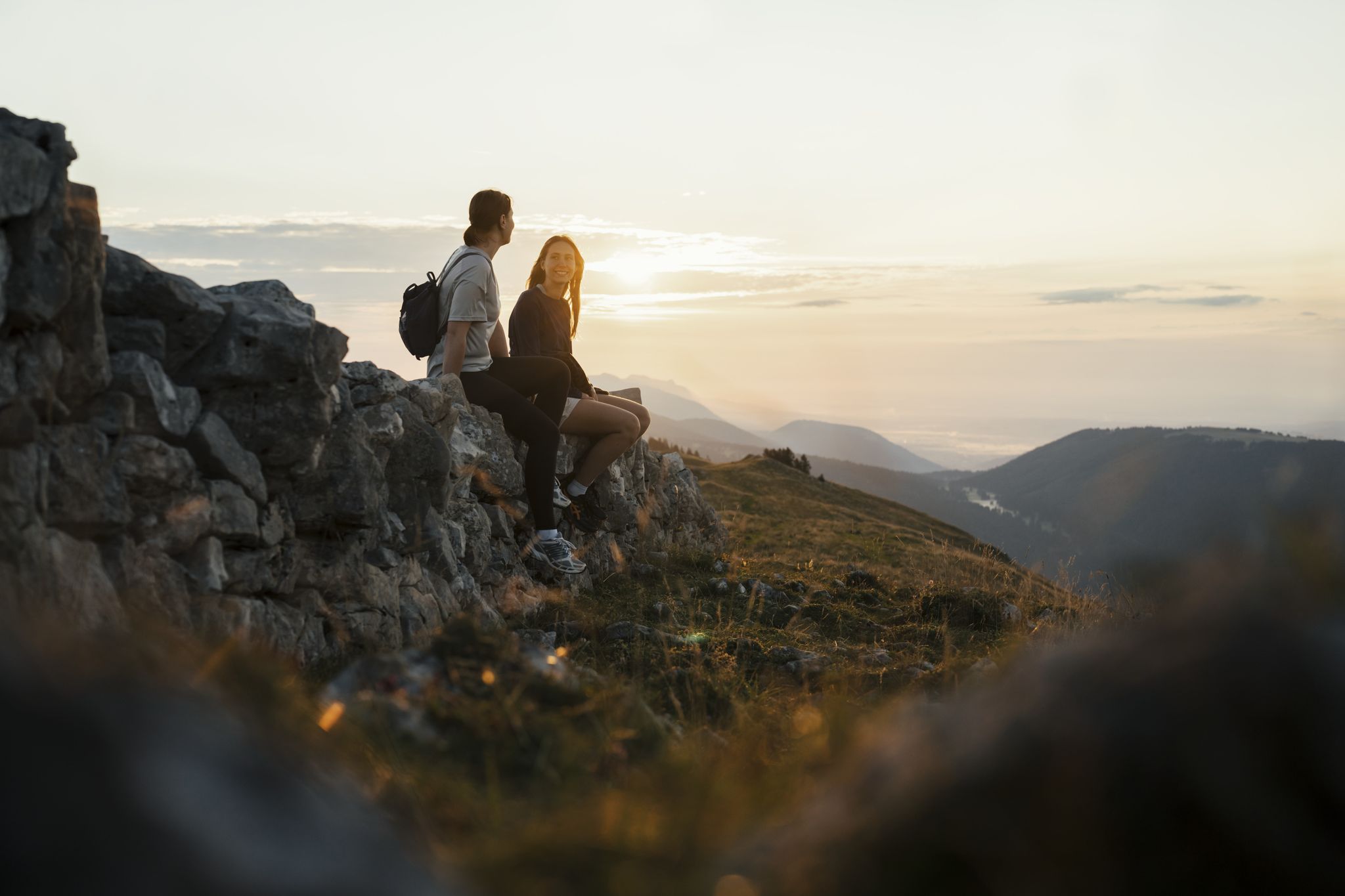
Panoramic hikes in the Jura & Three-Lakes Region
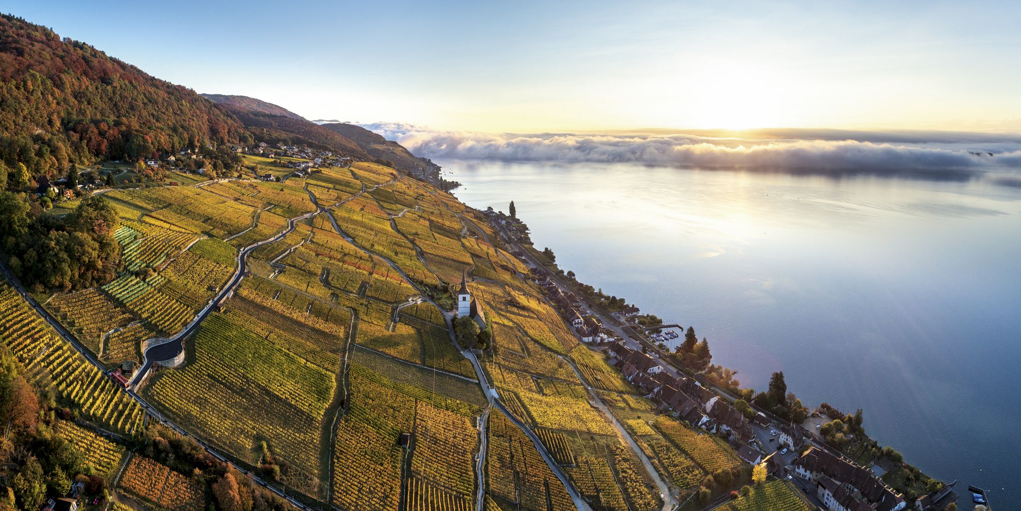
Waterside hiking in the Jura & Three-Lakes region
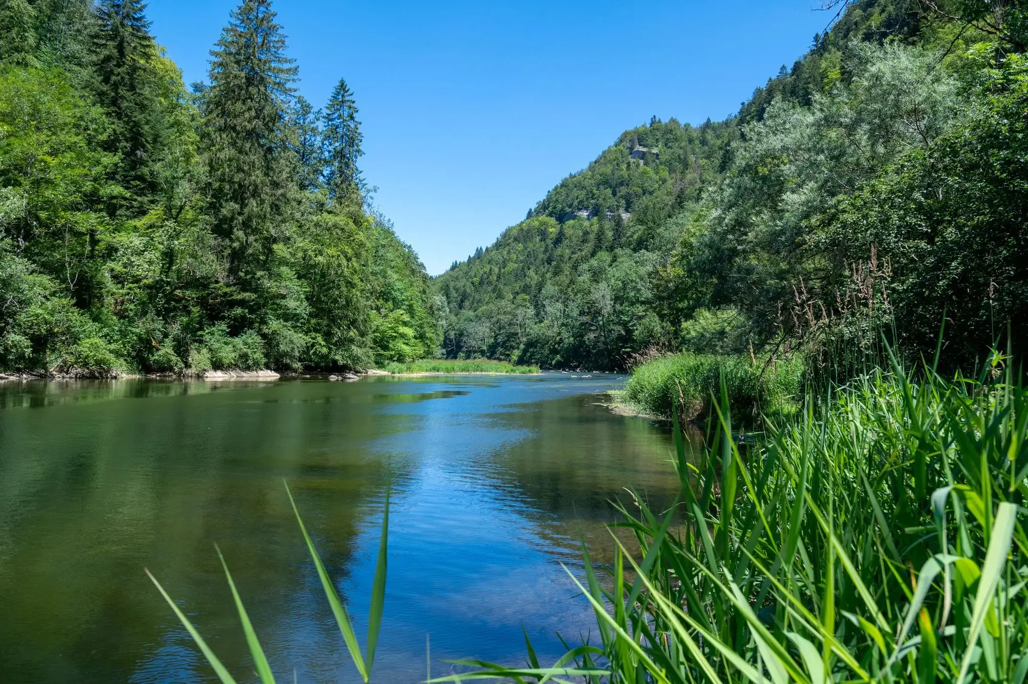
Follow France’s Doubs River through spectacular landscapes

From the Vosges to the Jura mountains – Hexatrek, le Grand Est
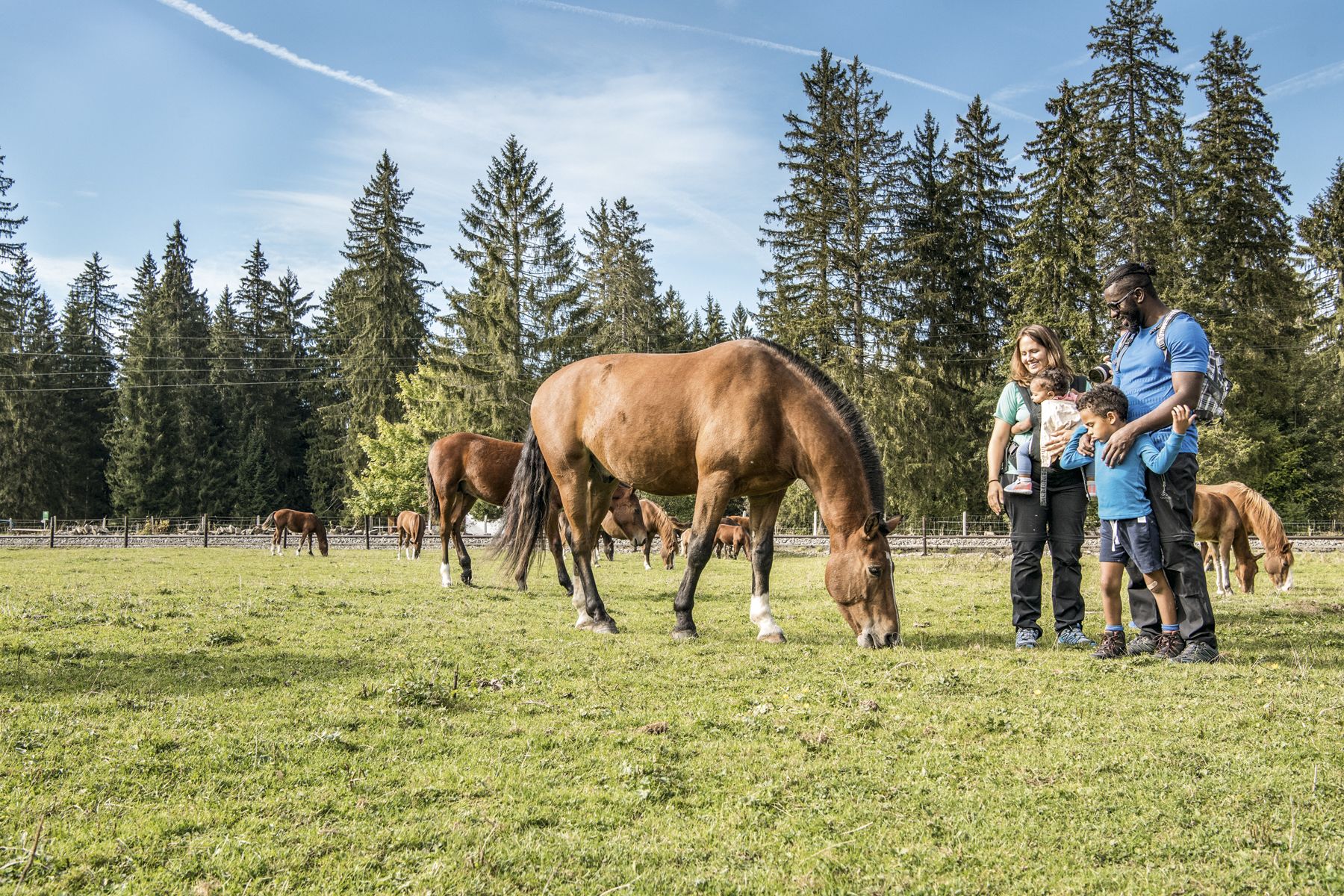
Jura — Visit the farms of organic pioneers
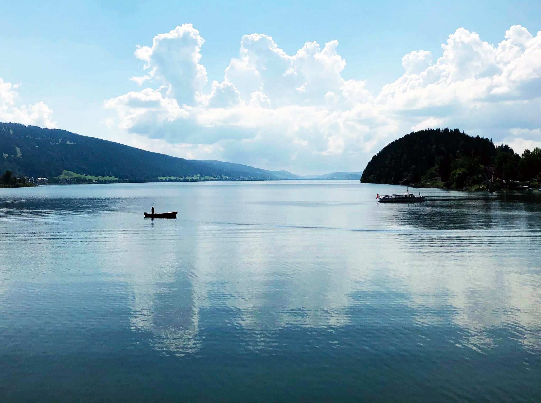
Cycling the Jura from Basel to Lake Geneva in 6 stages
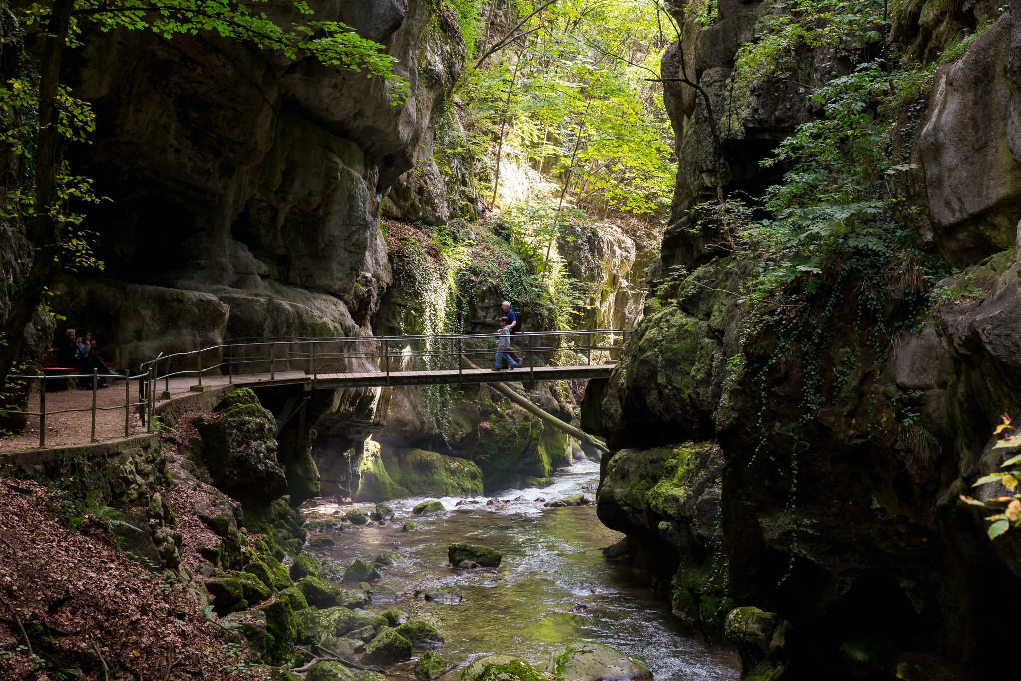
Schluchtenwanderungen im Jura & Drei-Seen-Land
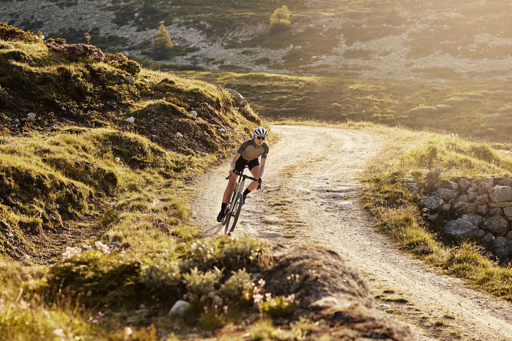
Schottergenuss und Gaumenschmaus – Grand Gourmet Rides durch die Schweiz
Other adventures in Freiberge


Tips from the Community

Goumois offers some culinary surprises, e.g. trout and other specialties.
0
0

It is definitely recommended to walk the entire 3 km around the lake. The stunning views will reward you for your efforts.
0
0

E-bike, considering portage areas just after Biaufond and steep climb to reach St.-Brais
0
0

A small, charming chapel. I particularly liked the two stained-glass windows.
3
0

The moor lake is located at 998 m above sea level in the municipality of Saignelégier, approximately halfway between Saignelégier and Tramelan. It is 600 m long, at least 60 m wide, and approximately 4.5 m deep. The Étang de la Gruère nature reserve, including the forest area surrounding the lake itself and two other small moor ponds northeast of it, covers an area of approximately 1 km².
1
0
A beautiful natural gem and a magical place. Those who visit during off-peak times can avoid the crowds and enjoy the tranquility here.
1
0

A rock that unmistakably resembles the face of a monkey 😉
0
0
The Chapelle du Bief d'Etoz, small, charming, and somewhat enchanted. A hint of the past wafts through the trees here. The chapel was built in 1692 – because a man fell from his horse and made a promise. I understand him. Anyone who falls here also promises all sorts of things – especially to choose flatter paths next time. The climb up to Le Noirmont is still quite demanding 😅
3
0
Frequently Asked Questions
How many bus station hiking trails are available in Freiberge?
There are over 100 hiking trails in Freiberge that are accessible from bus stations, offering a wide range of options for all skill levels. You'll find 36 easy routes, 61 moderate routes, and 9 more challenging trails.
Are there any easy, family-friendly hikes accessible by bus in Freiberge?
Yes, Freiberge offers several easy routes perfect for families. The region's mining heritage is often integrated into trails, providing interactive elements. For a gentle, scenic walk, consider the Etang de la Gruère route, which is just under 3 km long and features minimal elevation gain. You can find more details about this route here: Etang de la Gruère.
What kind of natural attractions can I expect to see along bus-accessible hiking trails in Freiberge?
Freiberge, situated within the GEOPARK Sachsens Mitte, boasts diverse natural beauty. You can explore picturesque river valleys, such as the Freiberger Mulde, and discover various geological formations. Highlights include several beautiful lakes like Étang de la Gruère and Étang de Bollement, as well as the scenic Doubs River. The region also features stunning waterfalls, such as the Bief Waterfall.
Are there any circular hiking routes from bus stations in Freiberge?
Yes, there are several circular routes available. For example, the Étang de Bollement - Saint-Brais Loop offers a moderate 16.5 km journey through the landscape. Another option is the Pâture des Vernois — loop from Les Sairains, a moderate 13.5 km trail. You can explore the details of the Étang de Bollement loop here: Étang de Bollement - Saint-Brais Loop.
What is the best time of year to go hiking from bus stations in Freiberge?
Spring and autumn are generally considered ideal for hiking in Freiberge, as nature displays vibrant colors and temperatures are mild. However, the region also offers romantic walks on snow-covered paths in winter, and summer provides lush green landscapes. The diverse scenery ensures a rewarding experience year-round.
Are there any challenging hikes accessible by public transport in Freiberge?
For experienced hikers seeking a challenge, Freiberge offers more difficult routes. An example is the Along the Doubs - Stage 3, a demanding 21.4 km trail with significant elevation changes. This route provides a strenuous yet rewarding experience. Find more information about this challenging hike here: Along the Doubs - Stage 3.
Can I bring my dog on bus-accessible hiking trails in Freiberge?
Many trails in Freiberge are dog-friendly, allowing you to enjoy the natural beauty with your canine companion. It's always recommended to keep dogs on a leash, especially in nature reserves or areas with livestock, and to check specific trail regulations before you go.
What historical sites or cultural landmarks can I discover on bus station hikes?
Freiberge is rich in mining history and cultural heritage. Many hiking routes integrate natural beauty with historical sites, such as former silver mines like 'Reiche Zeche,' churches, and stone crosses. The city itself is a UNESCO World Heritage Site, offering a unique blend of natural exploration and historical insights into the region's past.
What do other hikers enjoy most about hiking in Freiberge?
The hiking trails in Freiberge are highly rated by the komoot community, with an average score of 4.5 out of 5 stars from over 2,200 ratings. Hikers frequently praise the diverse landscapes, the integration of historical mining sites, and the well-maintained paths that cater to various fitness levels.
Are there any trails that offer panoramic views near bus stops in Freiberge?
Yes, several trails in the Freiberge region lead to vantage points offering breathtaking views. You can often find routes that ascend to spots like 'Himmelsleiter,' providing expansive vistas over Freiberg and the surrounding Ore Mountains landscape.
Are there any moderate-difficulty trails accessible by bus for a longer day hike?
Absolutely. For a longer day hike with moderate difficulty, consider the Franco-Swiss Smugglers' Trail from Goumois. This route spans over 12.5 km and offers a rewarding journey through varied terrain. You can find more details about this trail here: Franco-Swiss Smugglers' Trail from Goumois.
Most popular routes in Freiberge
Most popular attractions in Freiberge

Get inspired with the komoot mobile app


Explore more
Browse the best Hikes in other regions.
