The best hikes from bus stations in Frutigen-Niedersimmental
4.6
(9179)
66,942
hikers
500
hikes
Bus station hiking trails in Frutigen-Niedersimmental traverse the Bernese Oberland, characterized by high alpine terrain, deep valleys, and prominent peaks of the Bernese Alps. The landscape features rocky ascents, forested sections, and expansive mountain pastures. Hikers can explore picturesque lakes, impressive waterfalls, and dramatic gorges throughout the region.
Best bus station hiking trails in Frutigen-Niedersimmental
- The most popular bus station hiking route is Aeschi bei Spiez - Interlaken circular bench trail, a 4.7 miles (7.5 km) trail that takes 2 hours 15 minutes to complete. This moderate route offers views of the surrounding landscape.
- Another top favourite among local hikers is Summit tour to the Morgenberghorn - hiking around Interlaken, a difficult 10.9 miles (17.6 km) path. This route features significant elevation gain and alpine scenery.
- Local hikers also love the Choleren Gorge Loop, a 1.7 miles (2.7 km) trail leading through a dramatic gorge, often completed in about 51 minutes.
- Hiking in Frutigen-Niedersimmental is defined by high alpine terrain, deep valleys, and prominent peaks. The network offers options for various ability levels, from easy walks to challenging ascents.
- The routes in Frutigen-Niedersimmental are highly rated by the komoot community with an average score of 4.7 stars from over 6,400 reviews. More than 52,000 hikers have used komoot to explore Frutigen-Niedersimmental's varied terrain.
Last updated: October 29, 2026
4.7
(91)
473
hikers
7.49km
02:15
240m
240m
Moderate hike. Good fitness required. Mostly walkable paths. Sure-footedness required.
4.9
(35)
277
hikers
17.6km
08:11
1,250m
1,250m
Hard hike. Very good fitness required. Sure-footedness, sturdy shoes and alpine experience required.

4.8
(65)
299
hikers
2.67km
00:52
110m
110m
Easy hike. Easily walkable paths.
4.8
(57)
249
hikers
14.9km
04:13
310m
310m
Moderate hike. Good fitness required. Easily walkable paths.
4.8
(17)
232
hikers
3.33km
01:48
550m
0m
Moderate hike. Good fitness required. Mostly walkable paths. Sure-footedness required.
Get access to more routes and recommendations from other explorers.
Already have an account?
Our route recommendations are based on thousands of hikes, rides, and runs completed by other people on komoot.
Start today with a free account
Your next adventure awaits.
Popular around Frutigen-Niedersimmental

Hikes from bus stations around Naturpark Diemtigtal

Hikes from bus stations around Oeschinensee
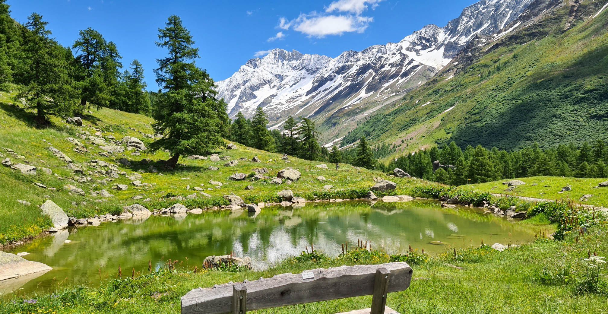
Lötschberg Panorama Trail – 4 days of alpine views in Switzerland
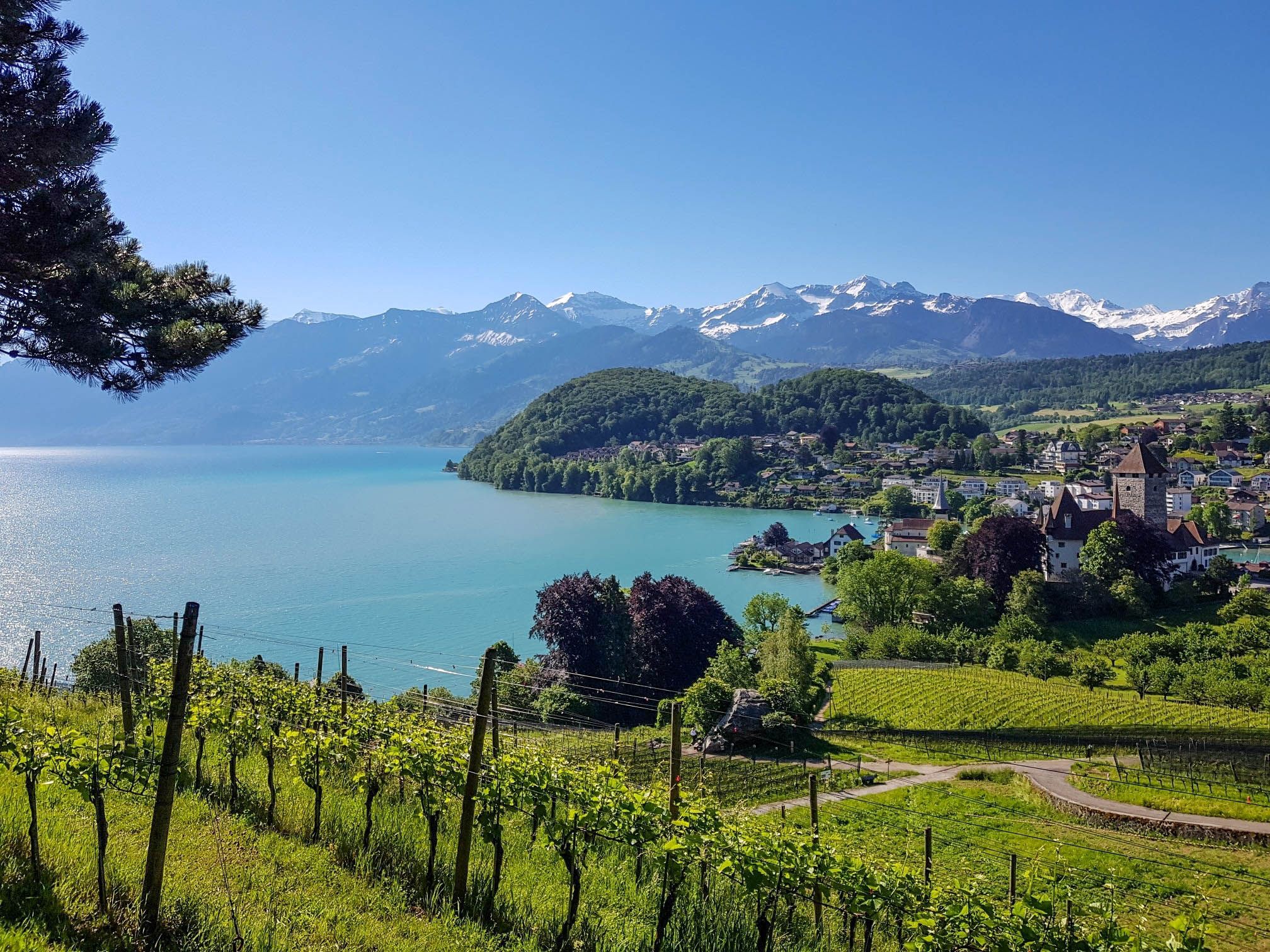
Panoramic circular trail around Switzerland's Lake Thun – Lake views at every turn
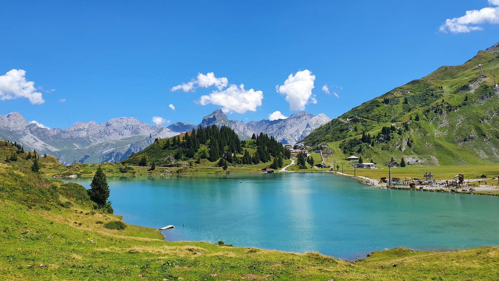
Via Alpina – The 15 stages of the Green Route
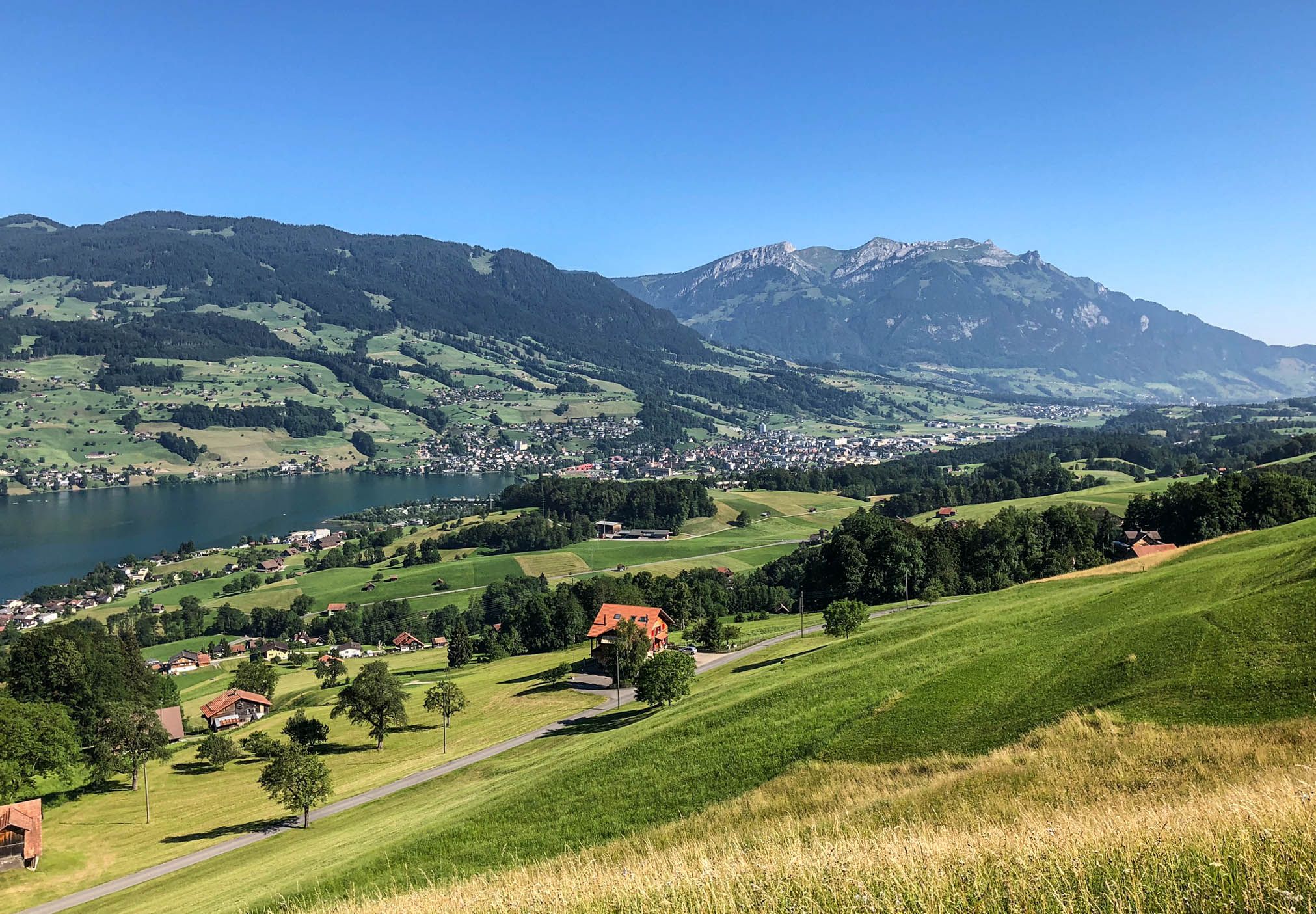
Via Jacobi – Following the Way of St James across Switzerland
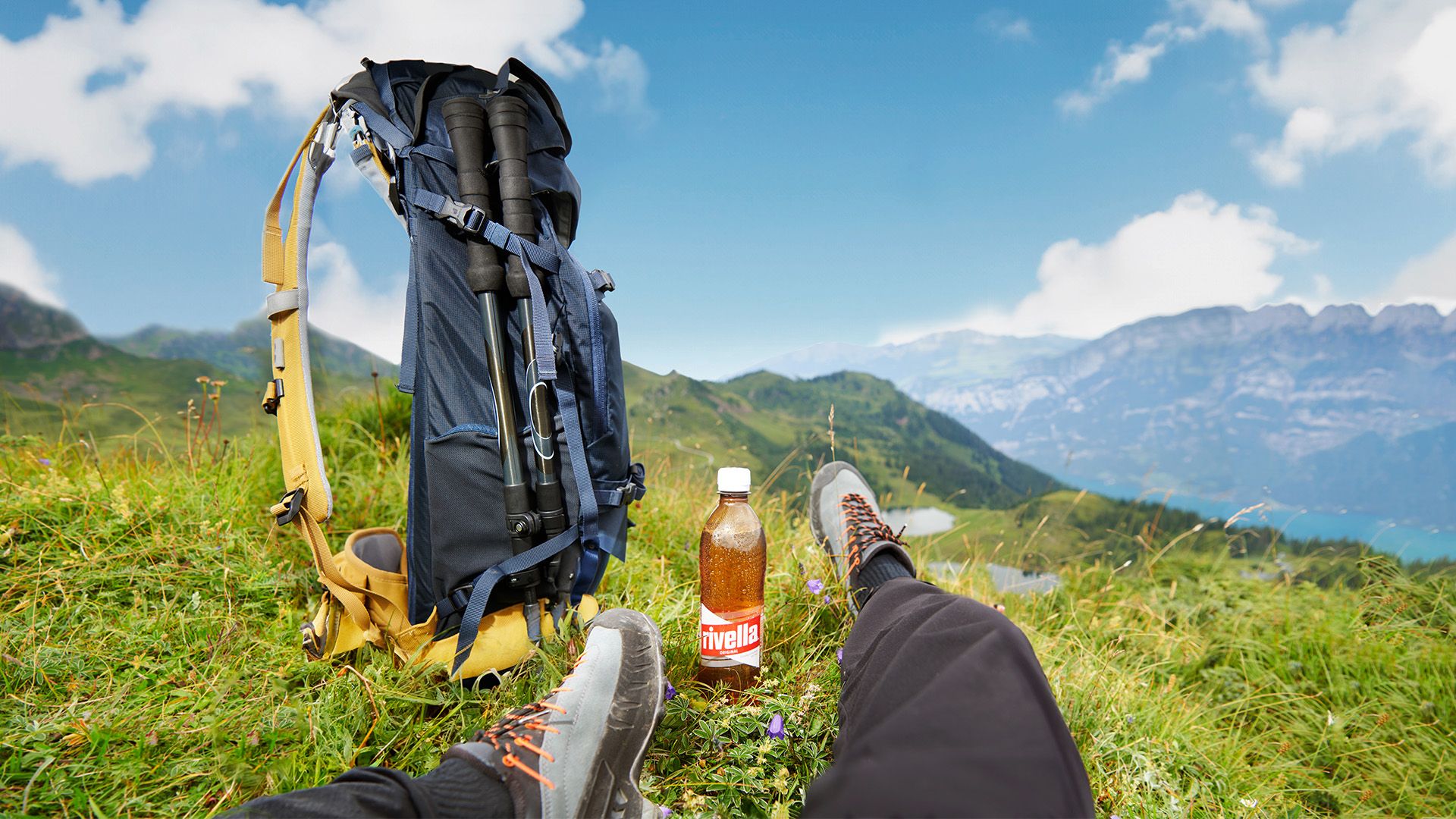
Summit enjoyment in golden light – Autumn hiking with rivella
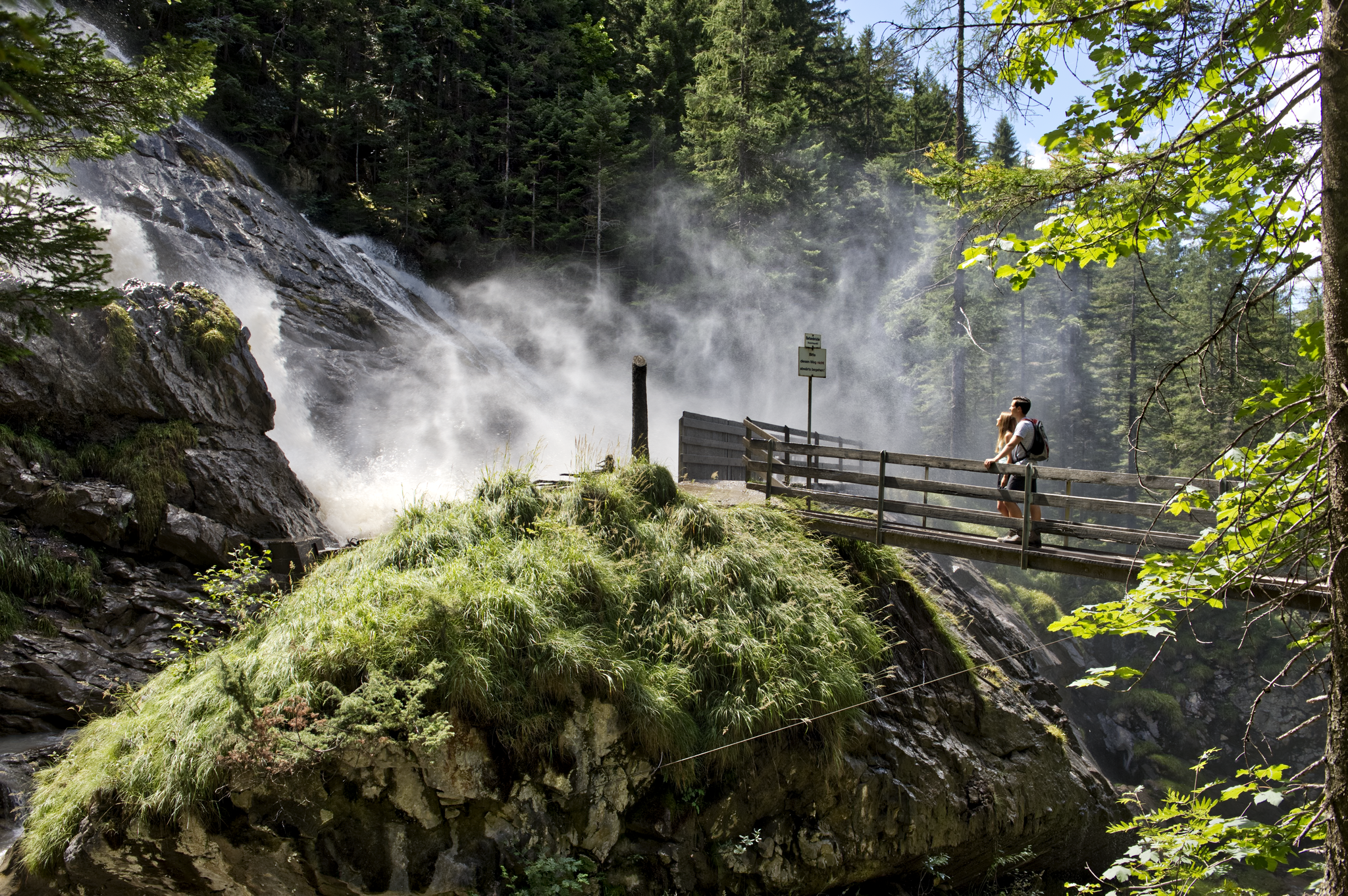
Coolcation instead of the heat in Lenk-Simmental
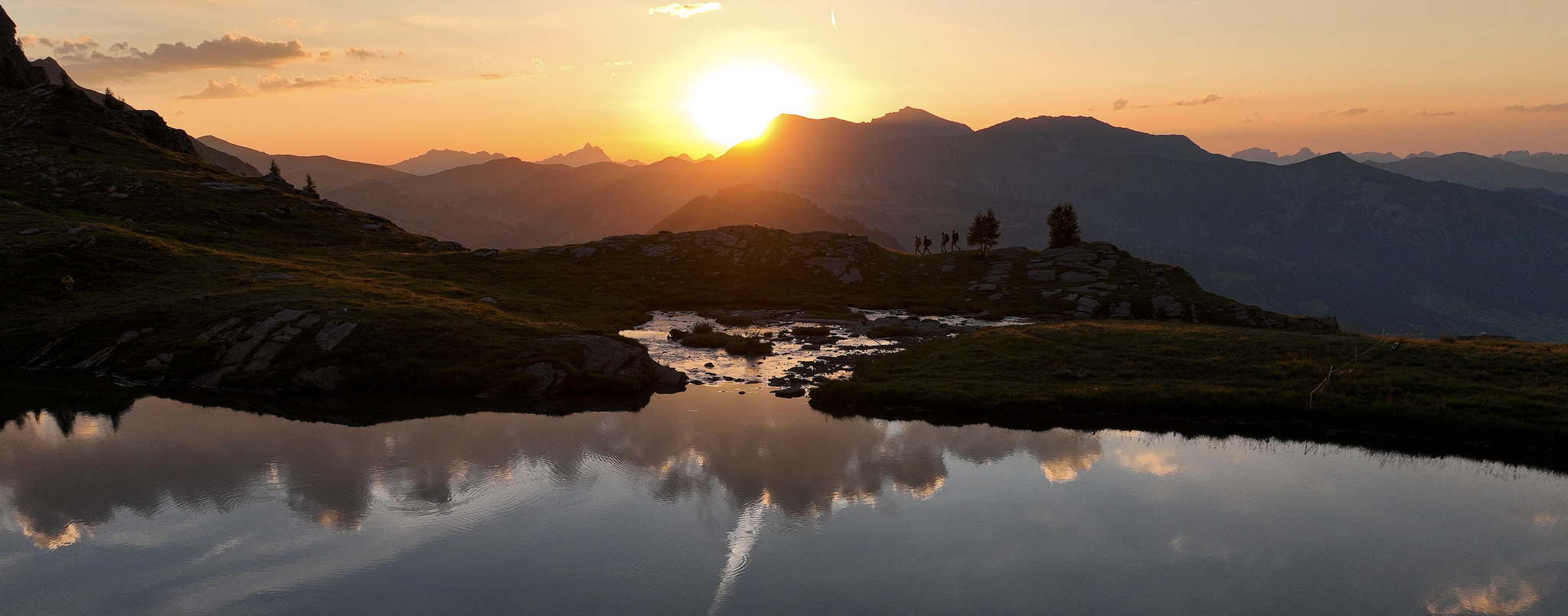
Late Summer: Great Hiking in Adelboden-Lenk-Kandersteg
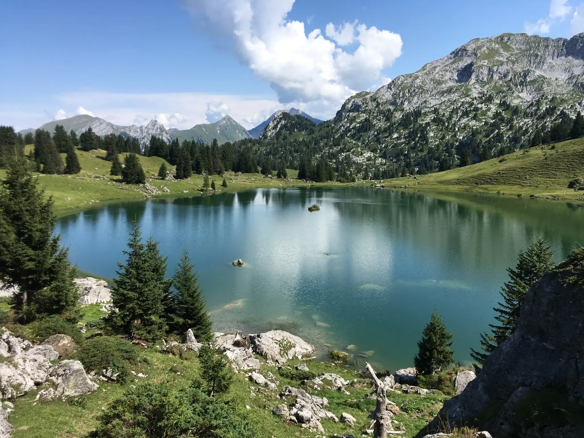
Mountain lakes, streams and castles – Berner Voralpenweg
Other adventures in Frutigen-Niedersimmental


Tips from the Community

Very nice staff and good cuisine
0
0

The Pochtenkessel is an impressive waterfall and gorge section above Frutigen in the Bernese Oberland. Here, the Engstlige river plunges through a narrow, rocky gorge, forming an imposing natural cauldron. The Pochtenkessel is particularly beautiful after rain or during the snowmelt, when the Engstlige carries significantly more water. But even at low water levels, the rock formations and the power of the water are impressive. A worthwhile detour for anyone who wants to experience wild nature, water, and impressive rock landscapes on their hike.
0
0

Crystal-clear natural pools formed between smooth river rocks along the Tschentbach. A perfect spot to cool off on a warm day — the turquoise water is refreshing and the setting is serene.
0
0

The Pochtenkessel is one of the most impressive spots in the entire gorge. Here, the water plunges with tremendous force into a naturally eroded rock basin, formed over millennia – a perfect example of how powerfully water can shape a landscape. The thunderous roar, the splashing spray, and the narrow rock walls create an almost mystical atmosphere.
0
0

Very nice hike
1
0

Rather deep, possible with large backpacks but a bit cumbersome.
1
0
The waterfalls consist of two mighty cascades: Engstligenfall I (~97m) and Fall II (~165m), totaling a drop of approximately 370–600m, depending on the source. The ensemble is one of Switzerland's most visited natural attractions – with over 250,000 visitors annually, it is one of the most visited waterfalls in the country. --- 🥾 Accessibility & Trails Hiking Trail: The trail leads from the lower parking lot or valley station along the falls up to Engstligenalp in about 1.5 hours – easy hike (T2). Gondola: Easily accessible by gondola from Adelboden directly to Engstligenalp – ideal for combining visits with a circular hike. --- 🧗♂️ "Chäligang" Via Ferrata The Chäligang Via Ferrata (K2/A-B) was built right next to the roaring waterfall – an impressive, family- and beginner-friendly route up the spectacular face of the falls. Distance & Time: Approximately 600 meters long, with approximately 300 meters of elevation gain. Approach time: approximately 20–30 minutes, climbing time: approximately 1–1.5 hours, total duration: approximately 2–2.5 hours
2
0

The drive to the official parking lot in Holzachsegga is an adventure in itself. The road is so narrow on the steep slope that even an oncoming bicycle wouldn't be able to pass. If there's oncoming traffic, you have to reverse for long stretches. From the parking lot, it's only a few minutes' walk to the gorge, which is truly breathtaking. Those with a bit more time can skip the parking lot and climb from the valley floor.
1
0
Frequently Asked Questions
How many bus station hiking trails are available in Frutigen-Niedersimmental?
Frutigen-Niedersimmental offers a wide selection of bus-accessible hiking trails, with over 500 routes available. These range from easy strolls to challenging mountain treks, ensuring options for various fitness levels.
What kind of landscapes can I expect on bus-accessible hikes in Frutigen-Niedersimmental?
The region boasts diverse alpine landscapes, from high peaks and deep valleys to serene forested sections and expansive mountain pastures. You'll encounter rocky ascents, glacial features, and a rich variety of alpine wildflowers, especially in late spring and early summer.
Are there easy, family-friendly hikes accessible by bus in Frutigen-Niedersimmental?
Yes, there are numerous easy and family-friendly options. The Choleren Gorge Loop is a great example, offering a captivating experience through a rugged canyon. The Elsigenalp area, accessible by cable car from Frutigen, also provides pleasant high trails and short, easy circular routes suitable for families.
Can I find circular hiking routes that start and end at a bus station?
Absolutely. Many routes in Frutigen-Niedersimmental are designed as circular walks, making them convenient for public transport users. For instance, the Aeschi bei Spiez - Interlaken circular bench trail offers a moderate loop, and the Choleren Gorge Loop is another excellent circular option.
Are there any challenging bus-accessible hikes for experienced trekkers?
Experienced hikers will find plenty of challenging routes with significant elevation gains. The Summit tour to the Morgenberghorn is a difficult option with substantial ascent. Another demanding route is About the Greberegg to Pochtenfall, offering a rewarding experience for those seeking a strenuous climb.
What natural attractions, like waterfalls or gorges, can I visit on these trails?
The region is rich in natural wonders. You can explore the dramatic Choleren Gorge on the Choleren Gorge Loop. The impressive Engstligen Falls, one of Switzerland's highest, also has a well-marked hiking trail leading to its lower section. Blausee (Blue Lake) is another idyllic spot known for its crystal-clear waters.
Are there any mountain peaks or panoramic viewpoints accessible from bus stations?
Yes, several peaks offer breathtaking vistas. The Gantrisch Summit and Stockhorn Summit & Panoramic Viewpoint are notable for their panoramic views. The Elsigenalp area also provides access to spectacular viewpoints like Elsighorn, Golitschenpass, and Stand.
What do other hikers say about the bus station trails in Frutigen-Niedersimmental?
The komoot community highly rates the hiking experience in Frutigen-Niedersimmental, with an average score of 4.7 out of 5 stars. Reviewers frequently praise the stunning alpine scenery, the well-maintained and diverse trail network, and the excellent accessibility via public transport.
Are there any huts or mountain inns along the bus-accessible routes for refreshments or overnight stays?
Yes, the region features several huts and mountain inns. Notable options include the Lötschen Pass Hut, Doldenhorn Hut, and Blüemlisalp hut. These provide opportunities for refreshments or even overnight stays, enhancing multi-day hiking experiences.
What is the best season for bus-accessible hikes in Frutigen-Niedersimmental?
The best season for hiking generally runs from late spring to early autumn. In late spring and early summer, the region is particularly known for its beautiful wildflowers. While some lower elevation trails might be accessible in winter, many higher alpine routes are best enjoyed when snow-free.
Are there any routes that feature lakes or offer opportunities for swimming?
Yes, the region is home to several picturesque lakes. Oeschinen Lake, a UNESCO World Heritage site near Kandersteg, is easily accessible by hike and offers opportunities for swimming in summer. Blausee (Blue Lake) is another stunning option, perfect for serene walks.
Can I find routes that combine forest paths with open mountain views?
Many trails in Frutigen-Niedersimmental offer a mix of terrain. For example, the Beach trail and mountain forest near Spiez provides a combination of forested sections and open views, characteristic of the region's diverse landscapes.
Most popular routes in Frutigen-Niedersimmental
Most popular attractions in Frutigen-Niedersimmental

Get inspired with the komoot mobile app


Didn’t find what you were looking for?
Check out more Hikes throughout Frutigen-Niedersimmental below and find the perfect route in your destination.
Explore more
Browse the best Hikes in other regions.
