The best walks and hikes around Ludmannsdorf
4.5
(7344)
40,473
hikers
21
hikes
Hiking around Ludmannsdorf offers diverse landscapes within the Rosental Valley of Carinthia, Austria. The region is characterized by its setting at the foot of the Karawanken mountains, featuring rolling hills and picturesque forests. Located on a sunny, wooded ridge between Lake Wörthersee and the Drava river, the area provides varied terrain for hikers, with elevations ranging from 600 to 900 meters above sea level.
Best hiking trails around Ludmannsdorf
- The most popular hiking route is Zikkurat Drauwelle – Glücksfelsen Waterfall…
Last updated: September 28, 2026
4.4
(8)
32
hikers
8.74km
02:33
230m
230m
Moderate hike. Good fitness required. Easily-accessible paths. Suitable for all skill levels.
5.0
(2)
17
hikers
Easy hike. Great for any fitness level. Easily-accessible paths. Suitable for all skill levels.

4.6
(16)
68
hikers
Easy hike. Great for any fitness level. Easily-accessible paths. Suitable for all skill levels.
5.0
(7)
19
hikers
6.05km
01:47
170m
170m
Easy hike. Great for any fitness level. Easily-accessible paths. Suitable for all skill levels.
4.7
(10)
53
hikers
3.96km
01:10
120m
120m
Easy hike. Great for any fitness level. Easily-accessible paths. Suitable for all skill levels.
Get access to more routes and recommendations from other explorers.
Already have an account?
Our route recommendations are based on thousands of hikes, rides, and runs completed by other people on komoot.
Start today with a free account
Your next adventure awaits.
Tips from the Community

In the footsteps of the Ironman
0
0

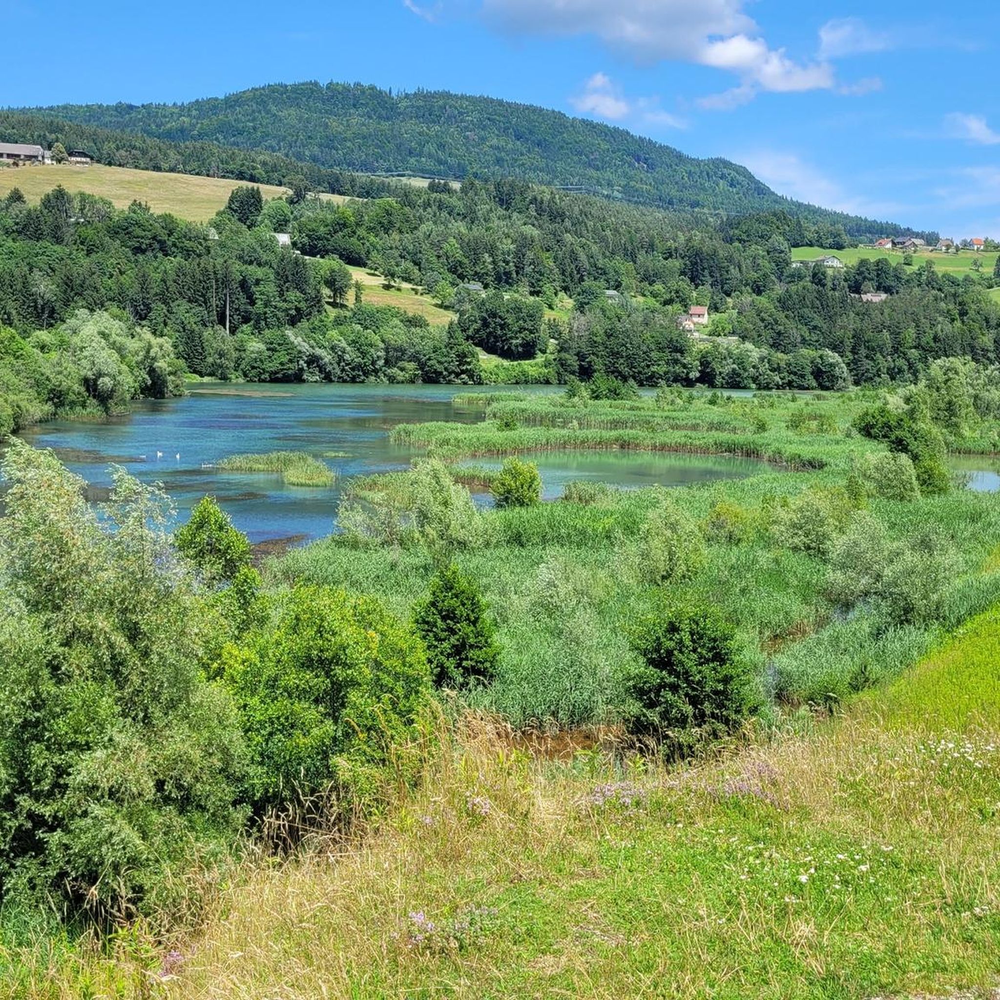
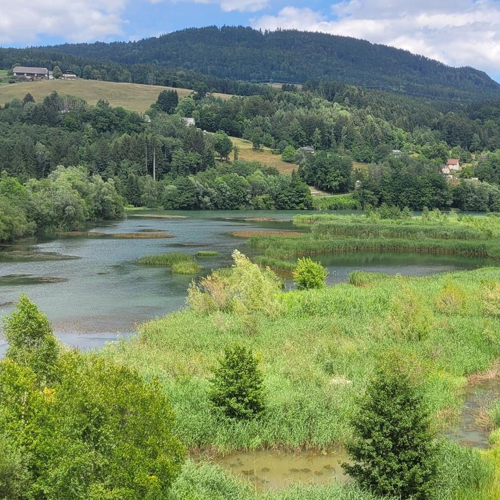
A highly interesting project in the reservoir area with protected areas for aquatic animals and plants, as well as areas for fishing, water sports, and bird sanctuaries. Link: https://www.hoke.at/tomas/kosmos/resonanzraum/zikkurat-und-drauwelle--landartprojekt-kunstbau-saager
0
0

A church was first mentioned there in 1301. In 1659, a visitation report described it as a very poor, dilapidated little church. It had only one altar and only one chalice. It was only in 1775 that Abbot Bernhard Winterl (1744-1780) had the old little church torn down and the current single-nave church with a round choir built in the Baroque style. On the western side rises the squat porch tower with the flat pyramid roof.
0
0
With this project, the village community "Lukowitz-Oberdörfl-Rupertiberg" wants to make medicinal herbs and their healing effects known to all interested parties and make them a current topic. Above all, young people should be informed about their existence and original significance and be informed about them. The herb spiral serves both nature, landscape and environmental protection, as moor plants that originally grew here were lost due to fertilization and were brought back to life with this project. Even in winter, when the garden is dormant, it is a wonderful place to relax and enjoy nature. There is also a guest book to browse through and write your own entries.
0
0
The "Glücksfelsen" wellness trail leads to a mysterious waterfall in a secluded forest gorge. Here you can enjoy nature and the sound of the waterfall. A beautiful destination even if you are traveling with children. There is also a guest book in which you can immortalize yourself,
0
0

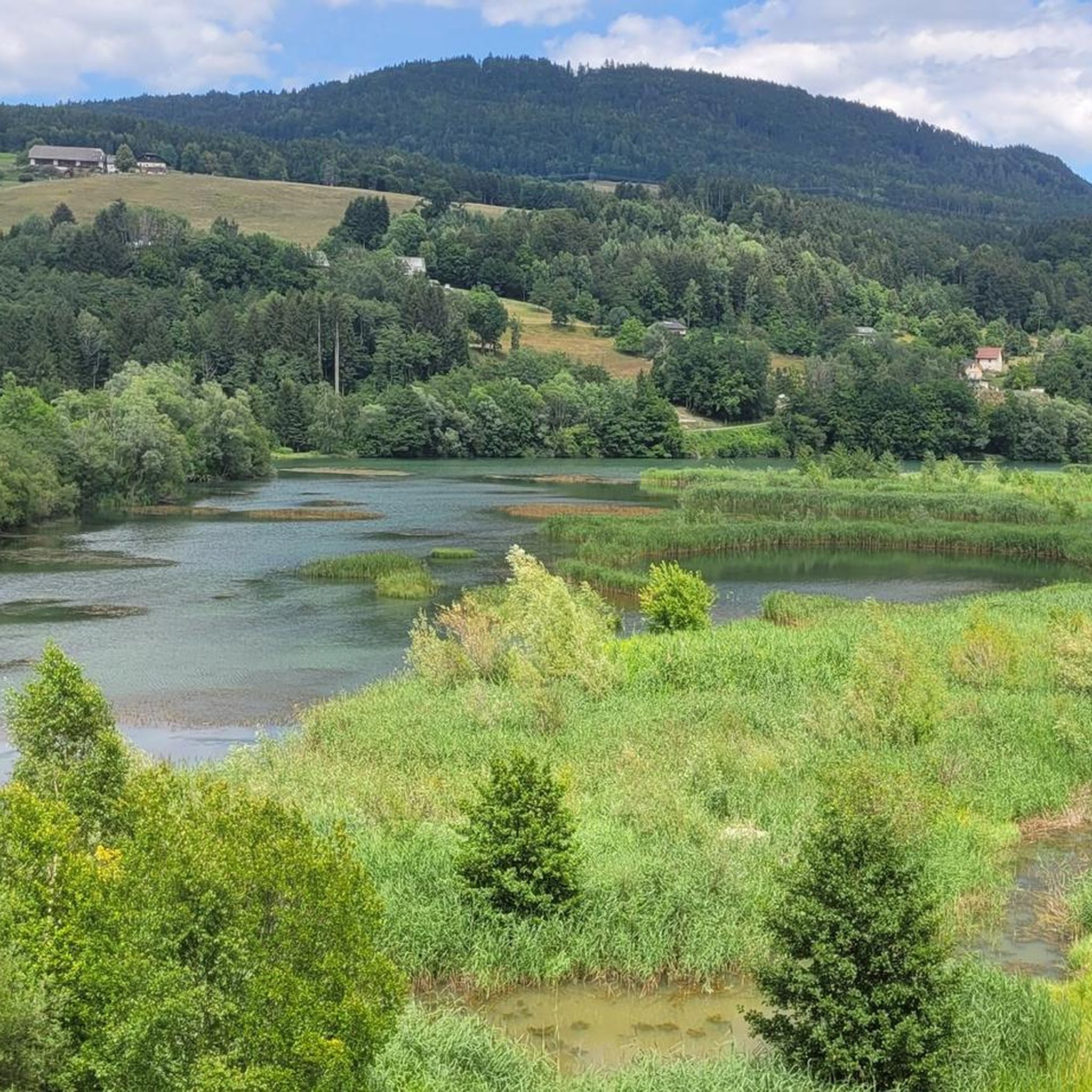
This tour along the Drau offers a beautiful and quite challenging combination between reservoir and river. The dreamy Rosental valley also presents itself charmingly by the water
3
0


Small Kneipp area with bench and footboard for shoes
0
0
Frequently Asked Questions
How many hiking trails are available around Ludmannsdorf?
Ludmannsdorf offers over 20 well-maintained hiking trails, catering to various difficulty levels. You'll find options ranging from leisurely walks through the village to more challenging mountain tours in the surrounding Karawanken mountains.
Are there any easy hiking options suitable for beginners in Ludmannsdorf?
Yes, Ludmannsdorf provides several easy trails perfect for beginners or those seeking a relaxed walk. For example, the Hollenburger Thor loop from Rupertiberg/Na Gori is an easy 3.8-mile (6.1 km) trail that takes about 1 hour 47 minutes to complete.
Can I find trails with waterfalls in the Ludmannsdorf area?
Absolutely! The region is home to beautiful natural features, including waterfalls. The Zikkurat Drauwelle – Glücksfelsen Waterfall loop from Selkach/Želuče is a popular route that leads directly to the Glücksfelsen Waterfall. Additionally, the Sreča peč Wellness Trail is known for its 15-meter waterfall, offering a refreshing natural experience.
What kind of views can I expect on hikes around Ludmannsdorf?
Hiking around Ludmannsdorf offers stunning and diverse views. You can expect picturesque vistas of the Rosental Valley, the rugged peaks of the Karawanken mountains, and the scenic Drava river. Trails often wind through rolling hills and dense woodlands, with some routes providing panoramic outlooks from higher elevations, such as the Hochobir Peak.
Are there any family-friendly hiking trails in Ludmannsdorf?
Yes, Ludmannsdorf is a great destination for families. The 'Living Forest' Family Trail (Waldgeisterweg) is specifically designed for children, featuring engaging stops and introducing them to mystical forest dwellers, making it an exciting adventure for younger hikers.
What is the best time of year to go hiking in Ludmannsdorf?
The best seasons for hiking in Ludmannsdorf are spring and autumn. In spring, the landscape comes alive with countless blooming flowers, including the beautiful snow roses along the Snow Rose Hiking Route. Autumn offers vibrant colorful foliage, creating a picturesque backdrop for your hikes. The tranquil atmosphere makes it a relaxing escape during these times.
Are there any circular hiking routes available?
Yes, many of the trails around Ludmannsdorf are designed as loops, allowing you to start and end at the same point without retracing your steps. Examples include the Zikkurat Drauwelle – Glücksfelsen Waterfall loop and the Feistritz Reservoir – Drau Cycle Path loop.
What do other hikers enjoy most about hiking in Ludmannsdorf?
The area is highly rated by the komoot community, with an average score of 4.6 stars from over 2500 reviews. Reviewers often praise the quiet woodlands, the varied terrain, and the stunning views of the Karawanken mountains and the Rosental Valley. The well-marked paths and the tranquil atmosphere are also frequently highlighted.
Are there any interesting landmarks or attractions near the hiking trails?
Beyond the trails themselves, Ludmannsdorf and its surroundings offer several points of interest. You can explore the freely accessible sculpture park in the garden of the Holzbau Gasser culture workshop. For panoramic views, consider visiting the Karawanken View. Other nearby attractions include the Klagenfurter Hut and various mountain passes like Orainsattel.
Are there any dog-friendly hiking trails in Ludmannsdorf?
While specific trails aren't designated as 'dog-friendly,' many of Ludmannsdorf's natural paths through forests and hills are suitable for hiking with dogs. It's always recommended to keep your dog on a leash, especially in areas with wildlife or near livestock, and to carry water for both yourself and your pet. Please also ensure you clean up after your dog to maintain the pristine environment.
What is the terrain like on Ludmannsdorf's hiking trails?
The terrain around Ludmannsdorf is quite varied, characterized by rolling hills, dense woodlands, and sections along the Drava river. Elevations range from 600 to 900 meters above sea level, meaning you'll encounter both gentle slopes and some moderate ascents, particularly on trails leading towards the Karawanken mountains. Paths are generally well-maintained, offering a mix of forest tracks and open sections.
Can I reach hiking trailheads in Ludmannsdorf using public transport?
Information on specific public transport connections directly to all trailheads in Ludmannsdorf is limited. While Ludmannsdorf is a municipality, access to more remote starting points might require a car. For general information on public transport in the region, you may consult local Carinthian transport services.
Are there any trails that offer views of the Feistritz Reservoir?
Yes, you can enjoy scenic views of the Feistritz Reservoir on certain routes. The Feistritz Reservoir – Drau Cycle Path loop from Feistritz im Rosental is a moderate 6.9-mile (11.0 km) path that offers beautiful vistas of the reservoir and follows sections of the Drava river.
Most popular routes around Ludmannsdorf
Most popular attractions around Ludmannsdorf

Get inspired with the komoot mobile app


Explore more
Browse the best Hikes in other regions.
