The best hikes from bus stations around Aitrach
4.5
(4222)
17,514
hikers
41
hikes
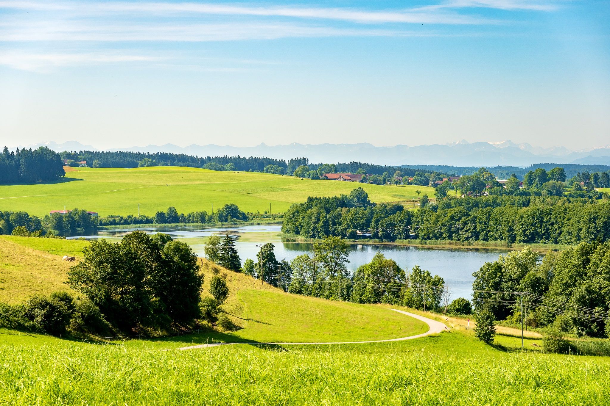
Bus station hiking trails around Aitrach traverse a landscape characterized by the Iller River and its associated reservoirs, such as the Iller Reservoir and Rappenbach Reservoir. The region features rolling hills and lush green meadows, providing varied terrain for outdoor activities. These trails often follow riverbanks, pass through open fields, and occasionally ascend gentle slopes, offering diverse views. The area's natural features include diverse flora and fauna, particularly around the reservoirs.
Best bus station hiking trails around Aitrach
- The most…
Last updated: June 28, 2026
4.7
(26)
103
hikers
Moderate hike. Good fitness required. Easily-accessible paths. Suitable for all skill levels.
4.6
(10)
26
hikers
10.1km
02:48
180m
180m
Moderate hike. Good fitness required. Easily-accessible paths. Suitable for all skill levels.

Sign up for free
4.4
(10)
25
hikers
8.88km
02:23
90m
90m
Moderate hike. Good fitness required. Mostly accessible paths. Sure-footedness required.
5.0
(1)
25
hikers
2.97km
00:45
10m
10m
Easy hike. Great for any fitness level. Easily-accessible paths. Suitable for all skill levels.
4.6
(5)
14
hikers
13.5km
03:32
100m
100m
Moderate hike. Good fitness required. Easily-accessible paths. Suitable for all skill levels.
Get access to more routes and recommendations from other explorers.
Sign up for free
Already have an account?
Our route recommendations are based on thousands of hikes, rides, and runs completed by other people on komoot.
Start today with a free account
Your next adventure awaits.
Login or Signup
Popular around Aitrach
Other adventures around Aitrach

Tips from the Community

The Gasthaus Löwen has been permanently closed since December 28, 2025.
0
0


Run-of-river power plant built in 1950 with two Kaplan turbines
0
0

The Lautrach Iller power plant was completed in 1948 and currently supplies an average of 26 million kilowatt hours per year. Enough to power more than 15,000 private households. The "head" is 7.9 meters, and the Iller reservoir holds up to 600,000 cubic meters.
0
0


very beautiful old church
0
0
Frequently Asked Questions
How many bus-accessible hiking trails are available in Aitrach?
Aitrach offers a wide selection of routes accessible by bus, with over 40 hiking trails starting conveniently from bus stations. This includes 20 easy routes and 23 moderate options, ensuring there's a suitable path for various fitness levels.
What makes Aitrach a good destination for bus station hikes?
Aitrach is an excellent choice for bus station hikes due to its well-developed public transport network and a comprehensive system of well-signposted trails. The region's diverse landscapes, including the Iller River, lush meadows, and reservoirs, are easily reachable, offering a scenic and convenient outdoor experience without needing a car.
What do other hikers say about the trails around Aitrach?
The hiking trails around Aitrach are highly rated by the komoot community, with an average score of 4.52 stars from over 3,900 ratings. Reviewers often praise the picturesque landscapes, the tranquility of the Iller River, and the clear signage that makes navigation straightforward.
Are there easy hiking options accessible by bus in Aitrach?
Yes, Aitrach provides numerous easy hiking options that are perfect for a relaxed outing from a bus station. For instance, the Iller Camping Aitrach loop from Aitrach is an easy route, ideal for a gentle stroll along the river.
Are the hiking trails around Aitrach bus stations circular?
Many of the hiking trails accessible from Aitrach's bus stations are circular, allowing you to start and end your journey at the same point without retracing your steps. Examples include the Fish Ladder on the Iller – Iller Reservoir (Illerstausee) loop from Aitrach and the Iller Power Plant Ferthofen – Forest Shelter in Allgäu loop from Aitrach.
What kind of natural features or scenic viewpoints can I discover on these bus-accessible routes?
The bus-accessible routes in Aitrach offer a variety of natural features and scenic viewpoints. You can explore the tranquil Iller River and its reservoirs, including the Iller Reservoir (Illerstausee) and the Rappenbach Reservoir, known for its diverse flora and fauna. The area also features spots like "Klein Kanada am Illerufer," perfect for enjoying nature's beauty.
Can I find family-friendly walks starting from Aitrach bus stations?
Absolutely. Aitrach offers several family-friendly walks that are easily accessible by bus. These routes often feature gentle terrain and interesting sights to keep everyone engaged. The Iller Camping Aitrach loop from Aitrach is a shorter, easy option suitable for families.
Are dogs allowed on the hiking trails around Aitrach?
Generally, dogs are welcome on the hiking trails around Aitrach. It's always recommended to keep your dog on a leash, especially in nature protection areas or near wildlife, and to carry waste bags. The region's open landscapes and river paths provide a great environment for walks with your canine companion.
What landmarks or attractions can I see along the bus station hiking trails?
While hiking from Aitrach's bus stations, you can encounter various points of interest. Along the Iller River, you might see the Fish Ladder on the Iller or the Iller Power Plant. For those interested in history, nearby castles like Lautrach Castle or the Marstetten Castle Ruins on the Aitrach Heights Trail offer glimpses into the region's past. Remember to check specific route details for attractions directly on your chosen path.
Are there options for longer or more challenging hikes from Aitrach's bus stops?
Yes, Aitrach also caters to hikers looking for longer or more challenging routes, all accessible from bus stations. Many of the moderate trails, such as the Kneipp Pool Allgäu – Bench Near Wappental loop from Aitrach, offer a good distance and some elevation gain, providing a more strenuous but rewarding experience through the diverse landscape.
When is the best time of year to hike around Aitrach by bus?
The best time to hike around Aitrach is generally from spring to autumn, when the weather is mild and the natural scenery is at its most vibrant. Spring brings blooming meadows, while autumn offers beautiful foliage along the Iller River. Summer is also popular, but be prepared for warmer temperatures. Winter hiking is possible, but some paths might be icy or muddy, so appropriate gear is essential.
Most popular routes around Aitrach
Most popular attractions around Aitrach

Get inspired with the komoot mobile app


Explore more
Browse the best Hikes in other regions.
