The best hikes from bus stations around Hundhaupten
4.6
(3576)
14,239
hikers
11
hikes
Bus Station hikes around Hundhaupten explore the Vogtland region, situated at the foot of the Ore Mountains in Thuringia, Germany. The area features expansive forests, serene lakes, and ponds, providing varied natural environments for outdoor activities. Trails often lead through small villages with traditional farmhouses, offering views across the landscape. The terrain includes gentle elevations and well-maintained paths suitable for hiking.
Best bus station hiking trails around Hundhaupten
- The most popular bus station hiking route is Bicycle on the Wall…
Last updated: June 28, 2026
4.5
(31)
102
hikers
5.89km
01:36
90m
90m
Easy hike. Great for any fitness level. Easily-accessible paths. Suitable for all skill levels.
8
hikers
9.20km
02:29
120m
120m
Moderate hike. Good fitness required. Easily-accessible paths. Suitable for all skill levels.

Sign up for free
3.8
(4)
7
hikers
10.1km
02:48
180m
180m
Moderate hike. Good fitness required. Easily-accessible paths. Suitable for all skill levels.
5.0
(2)
8
hikers
6.63km
01:50
120m
120m
Easy hike. Great for any fitness level. Easily-accessible paths. Suitable for all skill levels.
2
hikers
11.1km
03:02
170m
170m
Moderate hike. Good fitness required. Easily-accessible paths. Suitable for all skill levels.
Get access to more routes and recommendations from other explorers.
Sign up for free
Already have an account?
Our route recommendations are based on thousands of hikes, rides, and runs completed by other people on komoot.
Start today with a free account
Your next adventure awaits.
Login or Signup
Popular around Hundhaupten
Other adventures around Hundhaupten

Tips from the Community

The church's origins date back to the 12th and 13th centuries. It was enlarged in 1723, and the church tower and sacristy were built in 1786.
0
0

A hall church with a polygonal west end. A square east tower with a slated, curved dome and closed lantern. Inside, a floating baptismal font from the 18th century.
0
0
A hall church with a polygonal west end. A square east tower with a curved dome and closed lantern. A baptismal angel hovers inside.
0
0
The tree, covered in mistletoe, lends the rest area a special charm. Added to that is the beautiful view of Markersdorf.
0
0
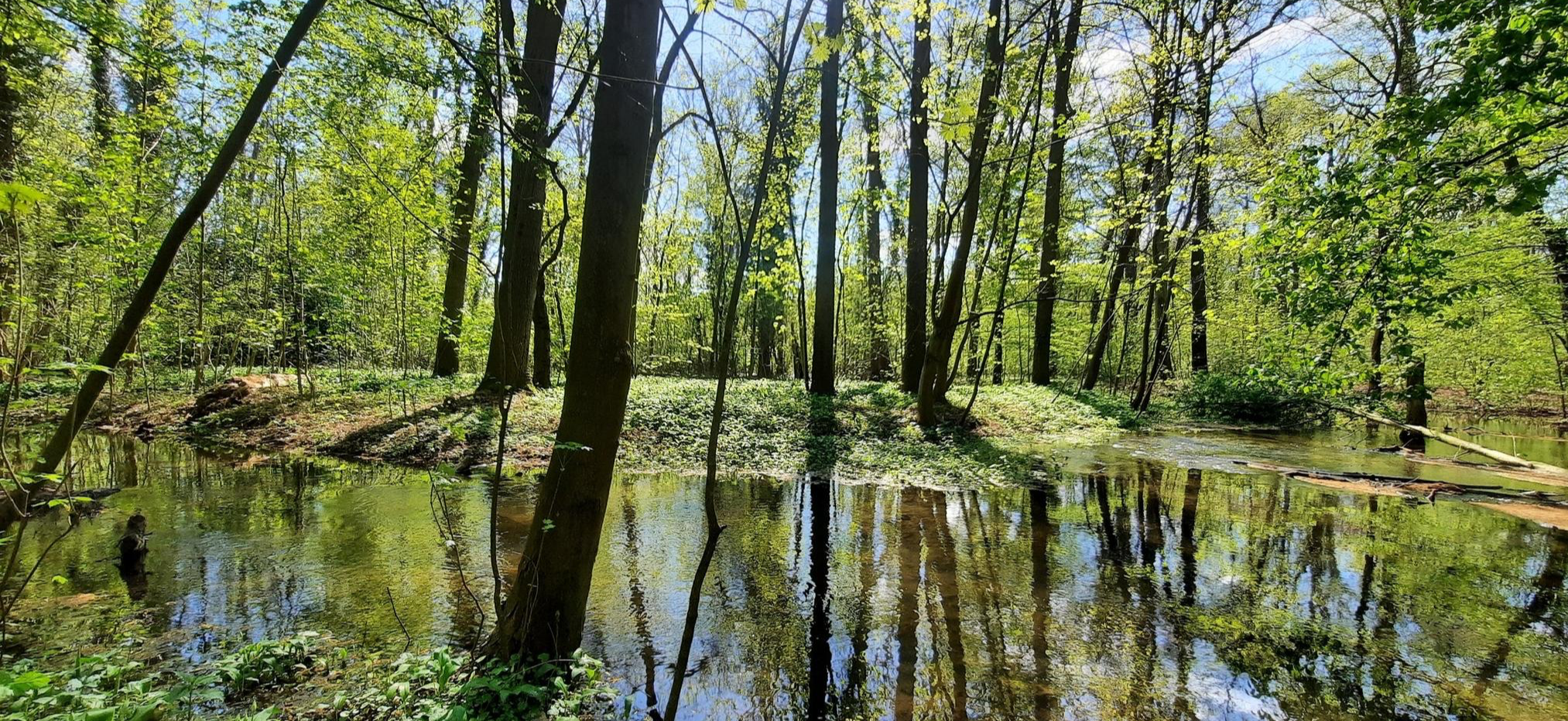
Between the two parts of the village of Hundhaupten, the dammed ponds of the Hegebach are idyllically located.
0
0

Seating and a nice bathing area for dogs
0
0

The present hall church was built on a chapel in 1755.
0
0

In the 12th and 13th centuries, the Zeulsdorf knights built a large Romanesque chapel on the Hof trade route to protect and control trade and passenger traffic. Renovation and extension works are recorded in 1723. In 1785 and 1786, the church tower was built and the sacristy on the northeast side. In 1832, it was renovated and windows were installed. In 1982, the interior was painted and in 2000 the roof was replaced and the facade renovated. (Wikipedia)
23
0
Frequently Asked Questions
How many bus-accessible hiking trails are available around Hundhaupten?
There are 11 curated hiking trails around Hundhaupten that are easily accessible from local bus stations. These routes offer a convenient way to explore the region's natural beauty without needing a car.
Are there easy bus-accessible hikes suitable for families or beginners?
Yes, there are 4 easy bus-accessible hikes around Hundhaupten. A great option is the Bicycle on the Wall – Gera waterfall loop from Hundhaupten, which is just under 6 km and features a waterfall, making it enjoyable for various fitness levels.
Can I find circular routes starting and ending at a bus station?
Absolutely. Many of the bus-accessible trails are circular, allowing you to start and finish at the same point. For example, the View of Zedlitz loop from Hundhaupten offers a pleasant 6.6 km circular walk, perfect for a convenient day trip.
What kind of natural features or viewpoints can I expect on these bus-accessible trails?
The trails around Hundhaupten offer diverse natural beauty. You can expect expansive forests, serene lakes and ponds like the 'Finsterer Grund' and 'Schwarzer Teich', and even spot water buffalo in their natural environment. Many routes provide beautiful, far-reaching views across the Vogtland landscape. Don't miss the Gera waterfall, a notable highlight on some routes.
Are there any specific attractions or landmarks reachable from these bus station hikes?
While the trails focus on natural landscapes, some routes pass by or are near interesting points. You might encounter charming small villages with traditional farmhouses. For specific landmarks, the Gera waterfall – Dürrenebersdorf Church loop from Hundhaupten passes by the Dürrenebersdorf Church. Other regional highlights, though not directly on these specific bus routes, include Greiz Castle and the Göltzschtal Bridge.
What is the best time of year to hike the bus-accessible trails around Hundhaupten?
The summer months are ideal for hiking in Hundhaupten, offering pleasant weather to explore the expansive forests and enjoy the lakes. Spring and autumn also provide beautiful scenery with blooming flora or vibrant fall colors. Winter hiking is possible, but check local conditions as some paths might be icy or snowy.
What is the general difficulty level of bus station hikes around Hundhaupten?
The bus-accessible hikes around Hundhaupten cater to a range of abilities. There are 4 easy routes, perfect for a relaxed stroll, and 7 moderate routes for those seeking a bit more challenge. There are no difficult routes listed in this selection, making the area very accessible for most hikers.
Are there any cafes or places to eat near the bus stations or along the trails?
While specific cafes directly at bus stops might be limited, the trails often weave through charming small villages. It's advisable to check local village amenities or pack provisions. For options in larger towns nearby, you might find more choices, but these specific routes focus on natural immersion.
How long do these bus station hikes typically take?
The duration of these hikes varies depending on the route and your pace. The shortest routes, like the Bicycle on the Wall – Gera waterfall loop from Hundhaupten, can be completed in under 2 hours. Longer moderate routes, such as the Rest Pond in Vogtland – View of the Saarbach Valley loop from Hundhaupten, can take around 2.5 to 3 hours.
What do other hikers enjoy most about hiking in Hundhaupten?
The area is highly rated by the komoot community, with an average score of 4.58 out of 5 stars from over 2,900 ratings. Hikers frequently praise the quiet woodlands, the well-maintained paths, and the picturesque views across the Vogtland landscape. The convenience of bus access is also a significant plus for many.
Are there any trails that feature water bodies like lakes or ponds?
Yes, several trails incorporate water features. The region is known for its serene lakes and ponds, including evocatively named spots like 'Finsterer Grund' and 'Schwarzer Teich'. The Rest Pond in Vogtland – View of the Saarbach Valley loop from Hundhaupten is a great example of a route that highlights these tranquil water bodies.
Are there any trails with significant elevation changes for a more challenging experience?
While none of the bus-accessible routes are classified as 'difficult', some moderate trails offer more significant elevation changes for a good workout. For instance, the Rest Pond in Vogtland – View of the Saarbach Valley loop from Hundhaupten features an elevation gain of over 180 meters, providing a more strenuous experience compared to the easier routes.
Most popular routes around Hundhaupten
Most popular attractions around Hundhaupten

Get inspired with the komoot mobile app


Explore more
Browse the best Hikes in other regions.
