The best hikes from bus stations around Lonsee
4.5
(9312)
36,657
hikers
47
hikes
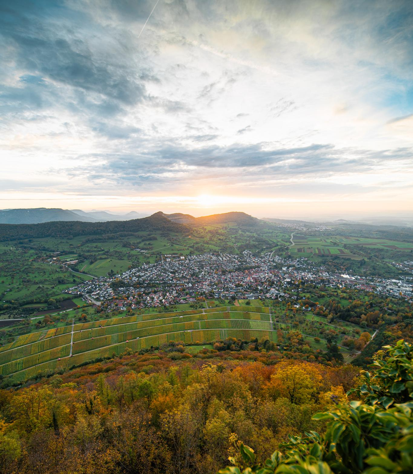
Bus station hiking trails around Lonsee are characterized by the diverse landscapes of the Lonetal valley, featuring rolling hills, dense forests, and unique juniper heaths. The region is home to the Lonsee lake and the significant Lone Spring Basin, a notable karst spring. Hikers can explore a network of paths that traverse varied terrain, including lakeside trails and woodland routes. These natural features provide a range of experiences for outdoor enthusiasts.
Best bus station hiking trails around Lonsee
- The most popular bus station hiking route is Lonesee Recreation Area – Lonetopf Spring in Urspring loop from Lonsee, a 5.6 miles (9.0 km) trail that takes 2 hours 26 minutes to complete. This moderate route explores the karst spring and the water experience area.
- Another top favourite among local hikers is Lonsee Loop Trail – Bridge to Lonesee loop from Lonsee, an easy 4.5 miles (7.3 km) path. This trail provides scenic views around Lonsee lake and passes through the village of Urspring.
- Local hikers also love the Lonetopf spring in Lonsee – Lonesee Recreation Area loop from Luizhausen, a 9.1 miles (14.6 km) trail leading through varied forest and open landscapes, often completed in about 3 hours 57 minutes.
- Hiking around Lonsee is defined by the picturesque Lonetal valley, the Lonsee lake, and the unique juniper heaths. The trail network offers options for different ability levels, from leisurely strolls to more challenging moderate routes.
- The routes in Lonsee are highly rated by the komoot community with an average score of 4.5 stars from more than 8,700 reviews. More than 38,000 hikers have used komoot to explore Lonsee's varied terrain.
Last updated: June 28, 2026
4.2
(37)
157
hikers
9.03km
02:26
110m
120m
Moderate hike. Good fitness required. Easily-accessible paths. Suitable for all skill levels.
4.0
(14)
40
hikers
7.29km
01:58
100m
100m
Easy hike. Great for any fitness level. Easily-accessible paths. Suitable for all skill levels.

Sign up for free
4.2
(11)
41
hikers
14.5km
03:55
190m
190m
Moderate hike. Good fitness required. Easily-accessible paths. Suitable for all skill levels.
4.6
(8)
22
hikers
8.80km
02:21
100m
100m
Moderate hike. Good fitness required. Easily-accessible paths. Suitable for all skill levels.
4.8
(4)
11
hikers
Moderate hike. Good fitness required. Easily-accessible paths. Suitable for all skill levels.
Get access to more routes and recommendations from other explorers.
Sign up for free
Already have an account?
Our route recommendations are based on thousands of hikes, rides, and runs completed by other people on komoot.
Start today with a free account
Your next adventure awaits.
Login or Signup

Tips from the Community

The Lonetopf called the little Blautopf
0
0
Small "Blautopf": Lonetopf in Urspring. Drivers on the B10 drive past cluelessly.
0
0

The source of the Lone with a beautiful cave that is 10m deep.
3
0

The railway line from Stuttgart via Plochingen and Göppingen to Ulm. It runs from Plochingen to Geislingen an der Steige in the Fils Valley. The Geislinger Steige is an old trade route to the Swabian Alb. It connects Geislingen an der Steige at the foot of the river in a south-southeast direction through the valley of the Rohrach tributary of the Eyb with Amstetten and is one of the most famous Alb ascents. The railway ramp running along the eastern slope of the valley is 5.6 kilometers long and overcomes an elevation gain of 112 meters. The curve radii drop to 278 meters. This section of the line is thus designed according to the standards for mountain railways. Between Geislingen and Amstetten, the line climbs with a gradient of up to 22.5 ‰. It is considered the first mountain crossing by a railway in continental Europe. From Urspring, the railway line follows the Lone River until they separate again in Westerstetten. (Thanks Realboost)
0
0


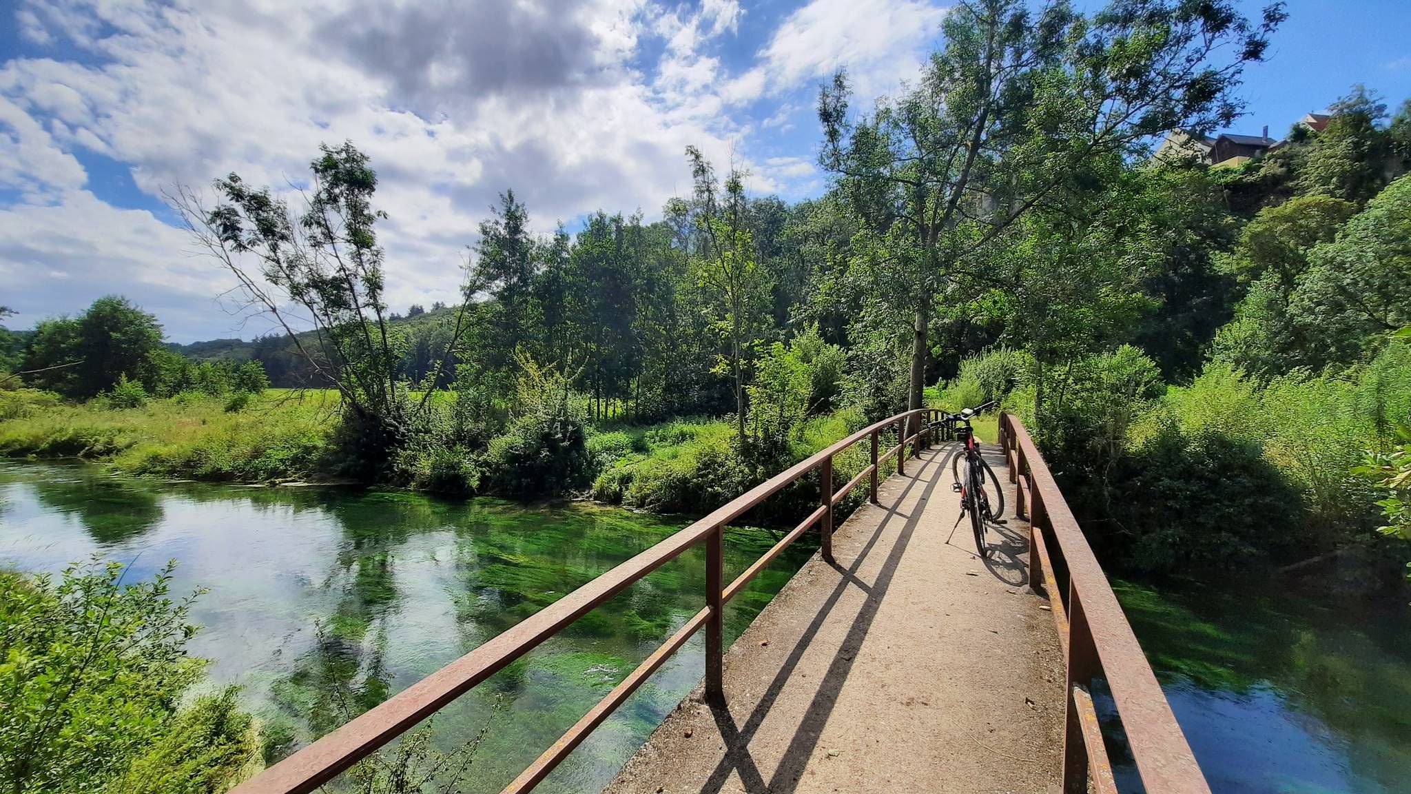
The Lone River originates from the Lonetopf, a spring in Urspring (562 m above sea level), which is 6 m deep and 10 m in diameter. An average of 280 liters per second bubble from this karst spring. The water that bubbles to the surface is blue, sparkling, and extremely clean. It is very clear, and trout also swim in the water here. Like the Blautopf, this is a karst spring.
2
0
You have to bring your own wood and ask the local council for permission. A sweeping view of Lonsee and Halzhausen. Parking is available.
0
0

A remarkable facility for a small village
0
0
Frequently Asked Questions
How many hiking trails are accessible from bus stations around Lonsee?
There are over 50 hiking trails around Lonsee that are easily accessible from local bus stations. These routes offer a mix of easy and moderate options, allowing you to explore the diverse landscapes of the region without needing a car.
What types of landscapes can I expect on bus-accessible hikes in Lonsee?
Hikes accessible by bus in Lonsee feature a variety of landscapes, including rolling hills, lush forests, and unique juniper heaths, especially beautiful in spring. Many routes also explore the picturesque Lonetal valley and offer scenic views of Lonsee Lake.
Are there any easy, family-friendly routes from Lonsee's bus stops?
Yes, for an easy and family-friendly option, consider the Lonsee Loop Trail – Bridge to Lonesee loop from Lonsee. This 7.3 km path offers scenic views around Lonsee Lake and passes through the charming village of Urspring, making it suitable for a relaxed outing.
Which bus-accessible trails offer scenic viewpoints or natural attractions?
Many trails offer scenic views and natural attractions. The Lonesee Recreation Area – Lonetopf Spring in Urspring loop from Lonsee, for example, takes you past the significant Lonetopf karst spring. You can also find routes that lead to viewpoints like Amazonen Rock or explore the unique Lonetopf (Source of the Lone River).
Can I bring my dog on the hiking trails around Lonsee?
Many trails in the Lonsee region are dog-friendly, allowing you to enjoy the natural beauty with your canine companion. It's always recommended to keep dogs on a leash, especially in nature reserves and near wildlife. Always check local signage for specific rules.
Are there any circular routes starting from bus stations?
Yes, several excellent circular routes are accessible from bus stations. The Lion-man Island in Lonsee – Swans at Lonesee loop from Lonsee is a moderate 7.9 km circular trail that offers beautiful lakeside views and is easily reachable by bus.
What is the best season for hiking in Lonsee?
The Lonsee region is beautiful year-round, but spring is particularly recommended when the juniper heaths are in full bloom, and the weather is mild. Autumn also offers stunning foliage. While winter hiking is possible, be prepared for colder temperatures and potentially icy conditions.
What are some longer, more challenging bus-accessible hikes?
For a longer, moderate challenge, consider the Lonetopf spring in Lonsee – Lonesee Recreation Area loop from Luizhausen. This 14.6 km route winds through varied forest and open landscapes, offering a more extensive exploration of the area.
Are there any historical sites or landmarks along the bus-accessible trails?
Yes, beyond natural beauty, you can find historical points of interest. The region has historical sites like the Roman fort near Urspring. Some routes might also pass by landmarks such as Ostlandkreuz and view over Geislingen, offering a glimpse into the area's past.
What do other hikers say about the trails around Lonsee?
The hiking trails around Lonsee are highly regarded by the komoot community, with an average rating of 4.5 stars. Hikers frequently praise the well-maintained paths, the diverse scenery of the Lonetal valley, and the tranquility of the nature reserves.
Are there any cafes or pubs near the bus stations for after a hike?
Lonsee and its surrounding villages offer local establishments where you can relax and refuel after your hike. While specific recommendations depend on your starting or ending bus stop, you'll generally find cafes and pubs in the main town centers like Lonsee and Urspring.
Most popular routes around Lonsee
Most popular attractions around Lonsee

Get inspired with the komoot mobile app


Explore more
Browse the best Hikes in other regions.
