The best traffic-free bike rides around Laichingen
4.6
(62)
375
riders
54
rides
Gravel biking around Laichingen offers diverse terrain across the Swabian Alb, characterized by its unique karst landscape. The region features rolling hills, scenic valleys, and extensive forests, providing varied routes for cyclists. This topography includes geological formations such as dry valleys and sinkholes, alongside a network of paths through wooded areas and open countryside. The area's natural features create a mix of challenging climbs and picturesque trails suitable for no traffic gravel bike trails.
Best no traffic gravel bike trails…
Last updated: May 15, 2026
5.0
(1)
10
riders
47.3km
02:46
480m
480m
Hard gravel ride. Very good fitness required. Mostly paved surfaces. Suitable for all skill levels.
5.0
(2)
9
riders
60.8km
03:32
790m
790m
Hard gravel ride. Very good fitness required. Mostly paved surfaces. Suitable for all skill levels.

Sign up for free
5.0
(2)
3
riders
48.9km
02:55
620m
620m
Hard gravel ride. Very good fitness required. Mostly paved surfaces. Suitable for all skill levels.
2
riders
Moderate gravel ride. Good fitness required. Mostly paved surfaces. Suitable for all skill levels.
Get access to more routes and recommendations from other explorers.
Sign up for free
Already have an account?
Our route recommendations are based on thousands of hikes, rides, and runs completed by other people on komoot.
Start today with a free account
Your next adventure awaits.
Login or Signup
Popular around Laichingen
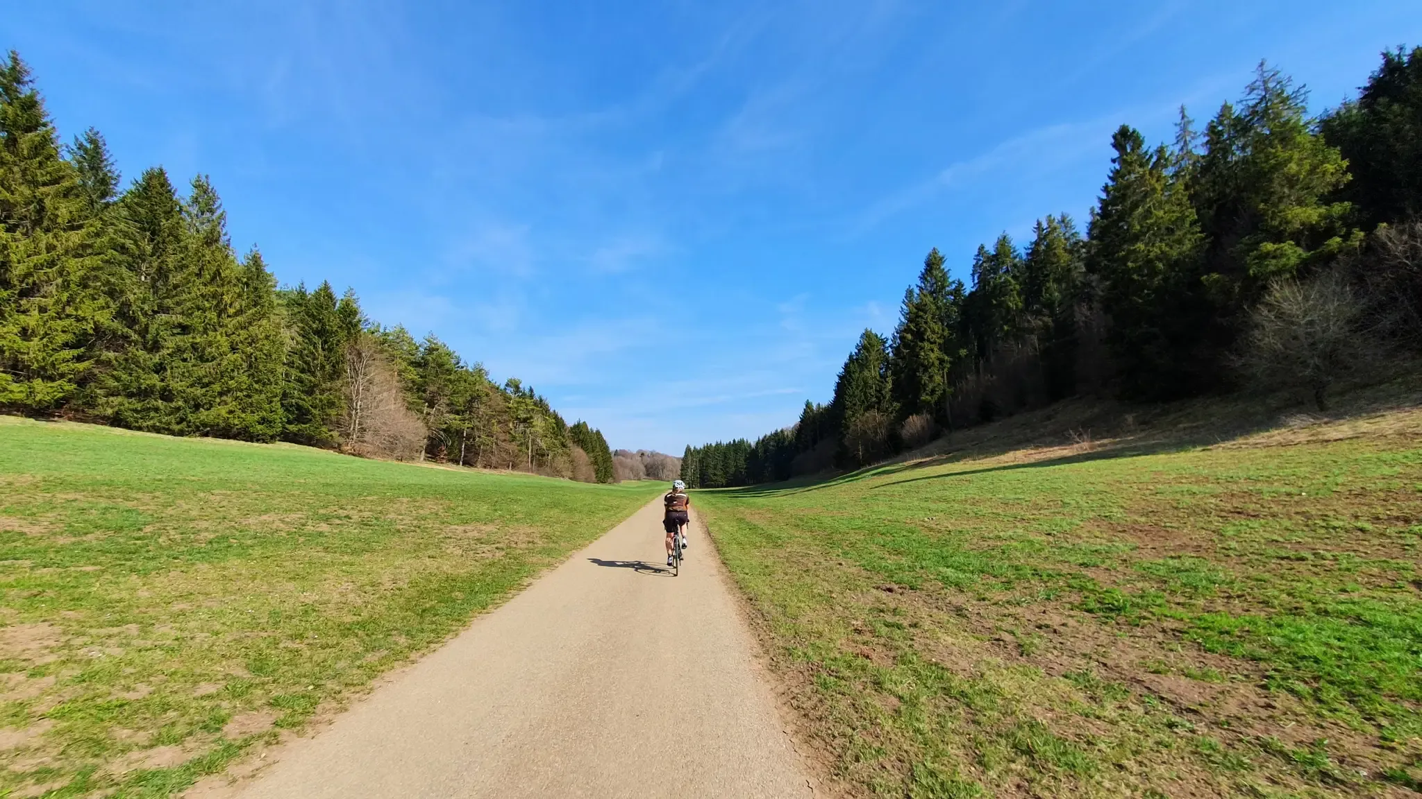
Cycle from Stuttgart to Ulm in Germany
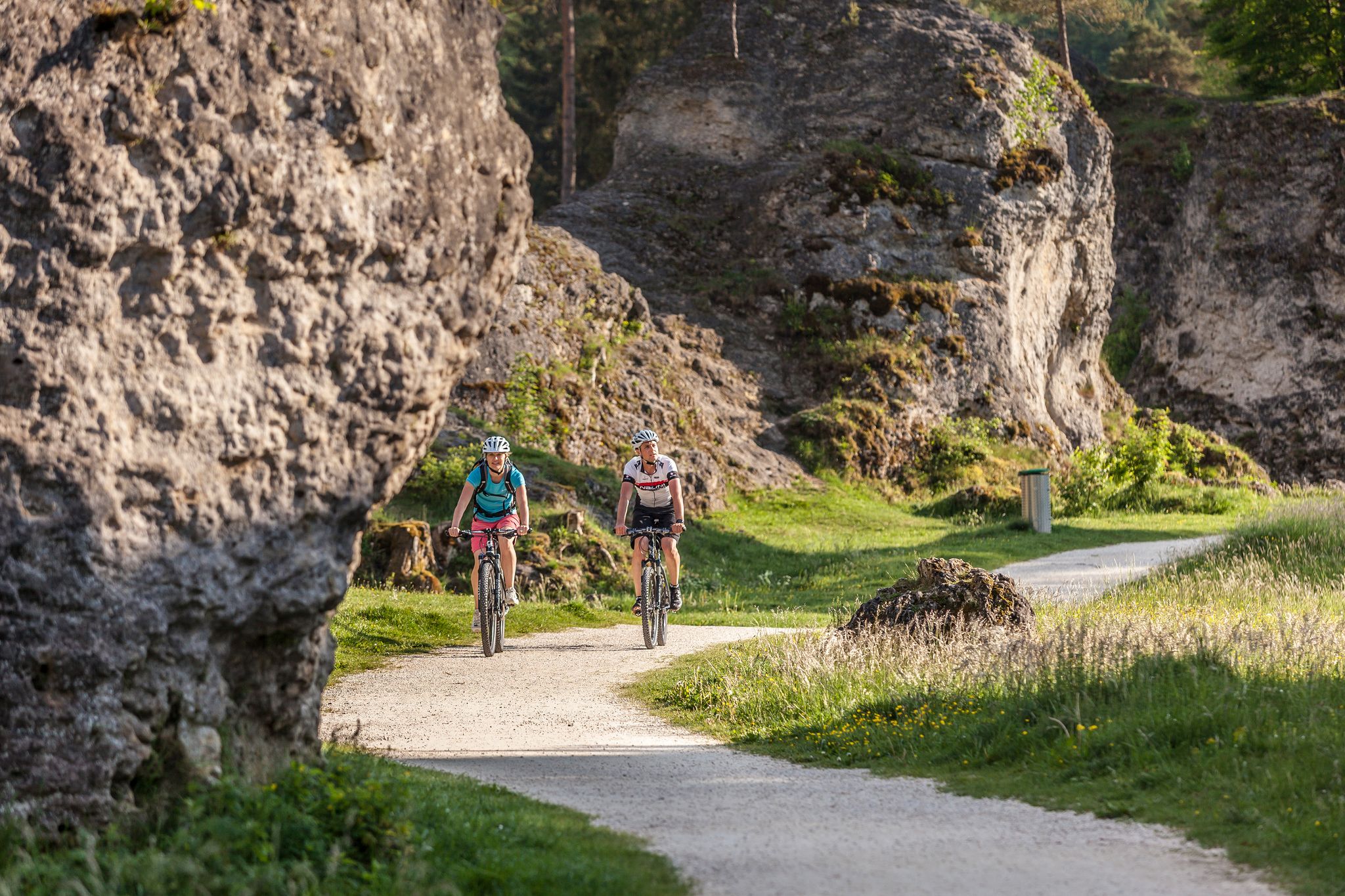
Experience nature by bike in the Swabian Jura
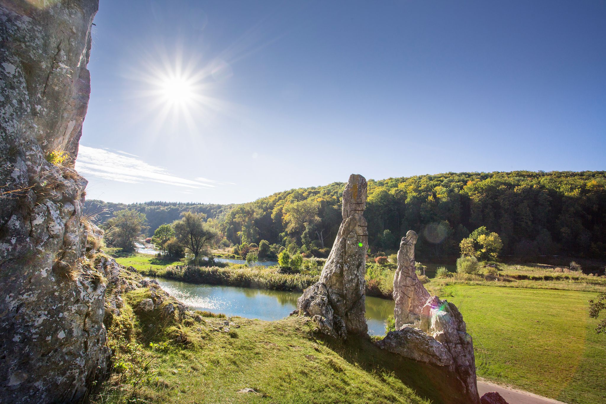
Picturesque valleys on Germany’s Württemberg Valley Cycle Path
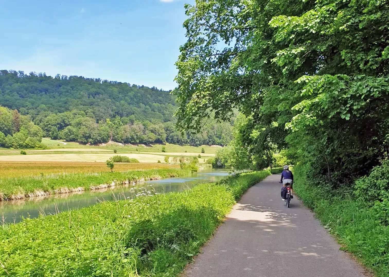
Between the Danube and Neckar – By bike from Ulm to Heilbronn
Weltkultur erfahren – Mit dem Rad unterwegs im Alb-Donau-Kreis

Traffic-free bike rides around Laichingen

Traffic-free bike rides around Laichingen
Other adventures around Laichingen


Tips from the Community

The Kaltentalweiher wetland was designed in the 1976 nature conservation year as a contribution by the Baden-Württemberg State Forestry Administration to the "Protection of European Wetlands" program and was created between 1977 and 1979. In an elongated oval, the wetland with its natural bays blends harmoniously into the floodplain. Even the main dam is so cleverly hidden in a shallow embankment that it does not disturb the natural landscape. The pond is about 300 meters long and 80 meters wide. Without the small island, its water surface is about 1.1 hectares. Many rare animal species have settled in the wetland. An excellent observation area has been created here for those interested in zoology and biology. Behind the large pond, there is a smaller pond through which the Kaltentalbach stream flows into the large pond. The Kaltentalbach originates from a karst spring, the Kaltentalquelle.
6
0
The Kaltentalhäusle is popularly known as „Villa Hügel“. It is reminiscent of the royal forester Philipp Freiherr von Hügel (1812-1887). From 1857-1878, von Hügel was the chief forest official of Urach. He had the Villa Hügel built in 1864. Behind the Kaltentalhäusle, he created a beautiful garden. He named the garden „Marienwahl“. Popular legend says that he had the Villa Hügel and garden built in honor of the king's daughter, Marie Princess von Württemberg (1816-1887). The princess probably visited the forester in Urach quite often. The Villa Hügel, according to popular legend, was likely a romantic love nest for the forester and the king's daughter. The windows of the small half-timbered house are turned away from the path that runs past it. This is also suggested by a separate room, which was probably intended to hide the princess's stately steed.
6
0
Beautiful view of Donnstetten and the Donnstetter Maar from the edge of the Maarkrater.
6
0

A bit boring for a mountain biker, but there are much better options in the area. It's more geared toward gravel bikers, geared for speed.
0
0


A beautiful valley that slopes gently downhill from Schopfloch. The route to Schopfloch continues with a steady climb of 2-4 percent.
0
0

A wonderful, narrow valley, gently rising, shady, with a beautiful forest path, a lake, idyllic scenery, and peace—wonderful! Up and down!
0
0

Simply wonderful! Without traffic and deserted during the week. At most, a flock of sheep crossed the road. You feel like you've been transported back 100 years.
0
0
Frequently Asked Questions
How many no-traffic gravel bike trails are available around Laichingen?
There are over 50 dedicated no-traffic gravel bike trails around Laichingen, offering a wide range of options for cyclists looking to explore the Swabian Alb's unique karst landscape without vehicle interference. These routes vary in difficulty, from moderate to difficult, ensuring there's a challenge for most riders.
What kind of terrain can I expect on the no-traffic gravel bike trails in Laichingen?
The terrain around Laichingen is characterized by the Swabian Alb's distinctive karst landscape, featuring rolling hills, picturesque valleys, and dense forests. You'll encounter a mix of wide forest paths, gravel tracks, and some more demanding sections with significant elevation changes. This varied topography provides both scenic beauty and engaging rides.
Are there any family-friendly no-traffic gravel bike trails in Laichingen?
While many trails around Laichingen are rated moderate to difficult, the region does offer options suitable for families looking for less strenuous rides. Look for routes with lower elevation gain and shorter distances. For example, the Machtolsheim Water Tower – Scenic View Near Laichingen loop from Laichingen is a moderate option that's under 20 km, making it more manageable for a family outing.
What are some notable natural attractions or landmarks I can see along these routes?
The Laichingen area is rich in natural beauty. You can explore the unique karst features like dry valleys and sinkholes. The Blautopf Spring – Blautopf loop from Feldstetten will take you near the stunning Blautopf, a karst spring known for its deep blue color. Other highlights include the Trailfinger Gorge and the Große Schrecke Rock Formation, which can be incorporated into longer tours.
What do other gravel bikers say about the trails in Laichingen?
The no-traffic gravel bike trails around Laichingen are highly rated by the komoot community, with an average score of 4.7 stars. Reviewers often praise the quiet, car-free nature of the routes, the diverse and engaging terrain, and the beautiful natural scenery of the Swabian Alb.
Can I find routes that are circular or loops for convenience?
Yes, many of the no-traffic gravel bike trails in Laichingen are designed as circular routes or loops, allowing you to start and end at the same point. Examples include the Blautopf Spring – Blautopf loop from Feldstetten, the Cold valley – Kaltental Lake loop from Feldstetten, and the Fils Spring – Source of the Fils loop from Laichingen.
Are there any specific routes that offer great viewpoints?
Absolutely. The varied topography of the Swabian Alb means many routes offer excellent viewpoints. The Machtolsheim Water Tower – Scenic View Near Laichingen loop from Laichingen is specifically highlighted for its scenic views. Additionally, routes traversing the rolling hills and higher elevations will often provide panoramic vistas of the surrounding landscape.
What is the best time of year to go gravel biking in Laichingen?
Spring, summer, and early autumn are generally the best times for gravel biking in Laichingen. During these seasons, the weather is typically mild, and the trails are in good condition. Autumn offers beautiful foliage, while spring brings blooming nature. Winter riding is possible but can be challenging due to snow and ice, especially on higher or less maintained paths.
Are there places to stop for food or drinks along the no-traffic routes?
While the routes themselves are car-free, many pass through or near small villages and towns where you can find cafes, pubs, and restaurants. It's advisable to check the route details and plan your stops in advance, especially for longer tours, to ensure you have refreshment options available.
Is parking available near the starting points of these gravel trails?
Yes, parking is generally available in and around Laichingen and the smaller towns like Feldstetten, which serve as common starting points for many routes. Look for designated parking areas in these locations, often near trailheads or town centers. Public transport access to some starting points might also be an option, though less common for remote trailheads.
Most popular routes around Laichingen
Most popular attractions around Laichingen

Get inspired with the komoot mobile app


Explore more
Browse the best Gravel rides in other regions.
