The best hikes from bus stations around Bisingen
4.6
(16606)
66,511
hikers
60
hikes
Bus station hiking trails around Bisingen are situated at the foothills of the Swabian Alb, a region characterized by its diverse landscapes. The area features the dramatic Albtrauf, offering panoramic views, along with extensive forests, valleys, and the scenic River Eyach. Trails often lead through shaded beech forests, sunny juniper heaths, and past significant landmarks like Hohenzollern Castle. This geographical setting provides varied terrain for outdoor activities.
Best bus station hiking trails around Bisingen
- The most popular bus station hiking…
Last updated: July 11, 2026
4.6
(35)
137
hikers
9.70km
03:05
300m
300m
Moderate hike. Good fitness required. Mostly accessible paths. Sure-footedness required.
4.9
(20)
87
hikers
Moderate hike. Good fitness required. Easily-accessible paths. Suitable for all skill levels.

Sign up for free
4.5
(46)
160
hikers
7.21km
02:00
130m
130m
Moderate hike. Good fitness required. Easily-accessible paths. Suitable for all skill levels.
4.6
(8)
44
hikers
12.2km
03:38
360m
360m
Moderate hike. Good fitness required. Mostly accessible paths. Sure-footedness required.
4.5
(6)
32
hikers
Easy hike. Great for any fitness level. Easily-accessible paths. Suitable for all skill levels.
Get access to more routes and recommendations from other explorers.
Sign up for free
Already have an account?
Our route recommendations are based on thousands of hikes, rides, and runs completed by other people on komoot.
Start today with a free account
Your next adventure awaits.
Login or Signup


Tips from the Community

Definitely look for the QR code, the first one is at the railway underpass in Engstlatt. This opens up interesting audio contributions about life in the Wüste company.
0
0

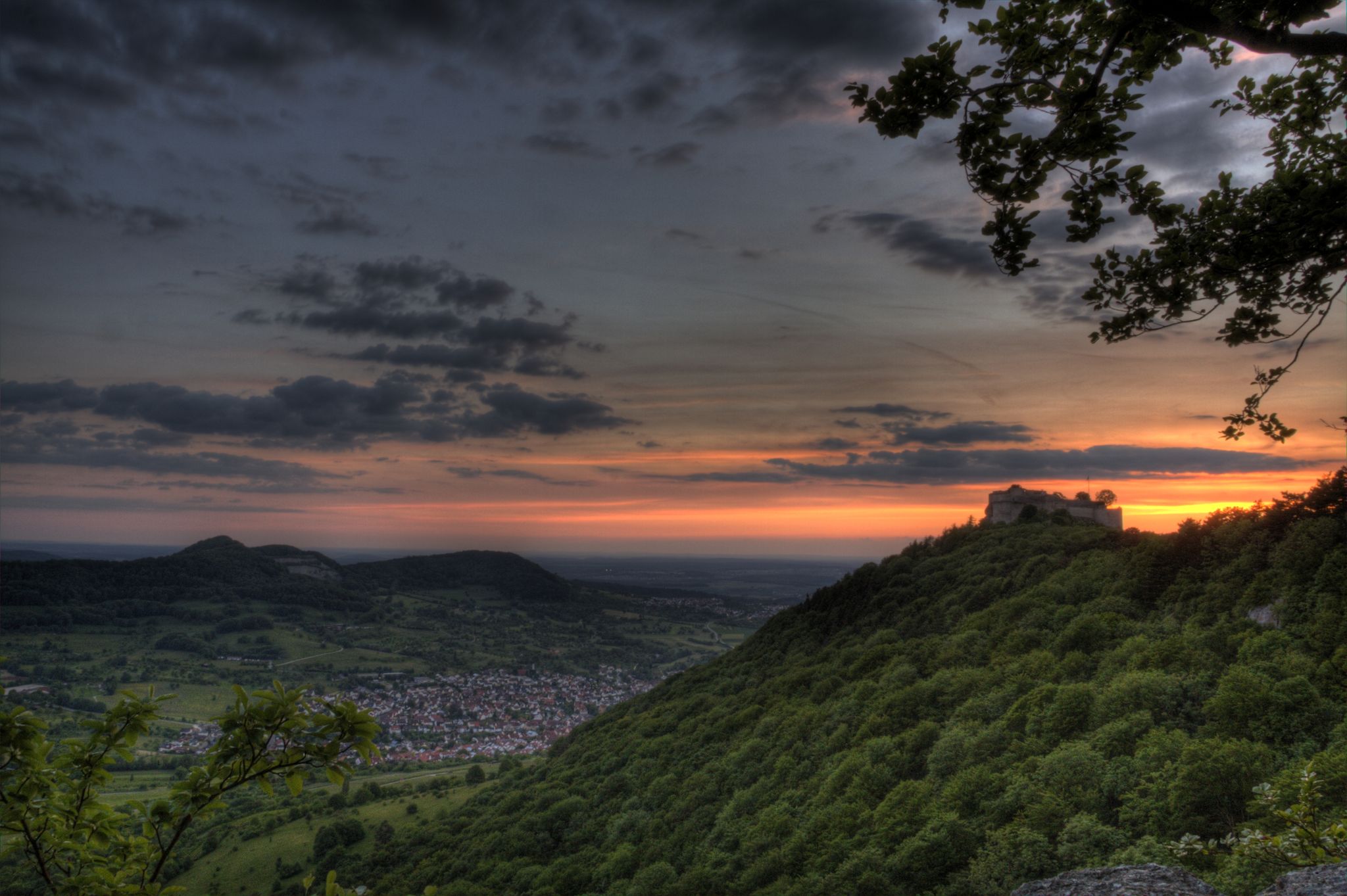
There are, of course, countless beautiful views of Hohenzollern.
1
0

Beautiful view of Hohenzollern Castle / Zoller 🏰👑 partly through the trees 🌳🌳🌳 👍
1
0

The information boards along the path contain interesting stories about the castle.
1
0

Path 🏞 up to Hohenzollern Castle 🏰👑 - Zollernalbkreis
0
0

As you climb, the castle peeks through the trees.
4
0
Very nice water tower below the parking lot, worth a look.
5
0
Frequently Asked Questions
How many bus station hiking trails are available around Bisingen?
There are nearly 60 hiking routes accessible from bus stations around Bisingen. These trails cater to various fitness levels, with over 30 easy routes, 25 moderate options, and a few challenging paths for experienced hikers.
What kind of terrain can I expect on bus station hikes in Bisingen?
Hikes around Bisingen offer diverse terrain, ranging from leisurely paths along the scenic River Eyach to more challenging ascents into the Swabian Alb. You'll encounter shaded beech forests, sunny juniper heaths, and dramatic sections along the Albtrauf with steep cliffs and panoramic viewpoints. Many routes feature varied landscapes, including idyllic woodlands and high plateaus.
Are there any circular hiking routes starting from Bisingen bus stations?
Yes, many routes are circular, allowing you to start and end at the same bus station. An example is the Wertenbach Stream – Engstlatter Brünnele Fountain loop from Bisingen, which is a moderate 8.9 km hike. Another option is the Weilerwasen Trailhead – Kreuzbühlbrunnen loop from VVG der Gemeinde Bisingen, covering 7.2 km.
What are the best times of year to go hiking from Bisingen bus stations?
The best seasons for hiking in Bisingen are spring and autumn. During these times, the mild climate and vibrant natural colors enhance the experience, with flowering meadows in spring and stunning foliage in autumn. While possible year-round, these seasons offer optimal conditions.
Are there any easy, family-friendly routes accessible by bus in Bisingen?
Yes, there are numerous easy routes suitable for families. For example, the Forest path in Gewann Härle – View of Hohenzollern Castle loop from Bisingen is an easy 5.5 km trail that offers lovely views and is manageable for most. The region also features specific child-friendly trails like the 'Bear Trail' with interactive stations, though specific bus access to these may vary.
What natural features or landmarks can I see along bus station hiking trails?
Many trails offer stunning views of the Swabian Alb and its dramatic Albtrauf. You can discover impressive natural features like the Starzel Waterfall or the Zillhausen Waterfall. The prominent Raichberg offers extensive views, and the scenic River Eyach provides tranquil settings. The Nebelhöhle Cave is also a notable natural highlight in the wider region.
Can I see Hohenzollern Castle from bus-accessible hiking trails?
Absolutely. Hohenzollern Castle is a central attraction, and many hiking trails offer spectacular vantage points. The Panoramic trail – Hohenzollern Castle loop from Hohenzollern Castle is a moderate 9.7 km route that provides breathtaking views of the majestic castle. Key viewpoints like the Zeller Horn and Trauffelsen East offer postcard-perfect perspectives.
Are there any longer, more challenging bus-accessible hikes in the area?
For those seeking a longer challenge, the Ridge trail to Hundsrücken – Hundsrücken Summit loop from Bisingen is a moderate 12.2 km route with significant elevation gain, offering a more demanding experience. The region's Albtrauf also provides routes with considerable ascents and descents.
What do other hikers say about the bus station trails around Bisingen?
The hiking trails around Bisingen are highly regarded by the komoot community, with an average rating of 4.6 out of 5 stars from over 15,700 reviews. Hikers frequently praise the diverse landscapes, the stunning views of Hohenzollern Castle, and the well-maintained paths that make exploring the Swabian Alb accessible.
Are there any historical sites or ruins to explore on these hikes?
Beyond Hohenzollern Castle, hikers can discover historic buildings such as the Old Forester's Lodge and the Werenwag Ruin along various trails. The region's rich history is often intertwined with its natural beauty, offering glimpses into the past as you hike.
Are there any waterfalls accessible from bus station hiking routes?
Yes, the region boasts several beautiful waterfalls. You can find highlights like the Roschbach Waterfall and the Weilerschrofen Waterfall. While not directly at a bus station, many hiking routes from bus stops can lead you to these natural attractions.
Most popular routes around Bisingen
Most popular attractions around Bisingen

Get inspired with the komoot mobile app


Explore more
Browse the best Hikes in other regions.
