The best hikes from bus stations around Jossgrund
4.5
(1728)
6,081
hikers
136
hikes
Hiking around Jossgrund offers access to the heavily forested Spessart Nature Park, characterized by rolling hills and the gentle valley of the Jossa river. The region features diverse woodlands, including ancient oak and beech trees, and unique geological formations like the Beilstein basalt rock. Trails often traverse wooded terrain, providing a tranquil environment for outdoor exploration.
Best bus station hiking trails around Jossgrund
- The most popular bus station hiking route is Spessart Trail: Jossgrund Loop, a 7.4 miles (11.9…
Last updated: June 28, 2026
4.8
(483)
1,479
hikers
11.9km
03:23
260m
260m
Hike the moderate 7.4-mile Jossgrund loop in Hessian Spessart Nature Park, featuring river views, juniper heaths, and panoramic vistas.
4.6
(23)
87
hikers
Moderate hike. Good fitness required. Easily-accessible paths. Suitable for all skill levels.

Sign up for free
4.7
(20)
84
hikers
Moderate hike. Good fitness required. Easily-accessible paths. Suitable for all skill levels.
4.8
(22)
86
hikers
4.91km
01:21
80m
80m
Easy hike. Great for any fitness level. Easily-accessible paths. Suitable for all skill levels.
4.6
(10)
45
hikers
12.6km
03:24
160m
160m
Moderate hike. Good fitness required. Easily-accessible paths. Suitable for all skill levels.
Get access to more routes and recommendations from other explorers.
Sign up for free
Already have an account?
Our route recommendations are based on thousands of hikes, rides, and runs completed by other people on komoot.
Start today with a free account
Your next adventure awaits.
Login or Signup
Popular around Jossgrund
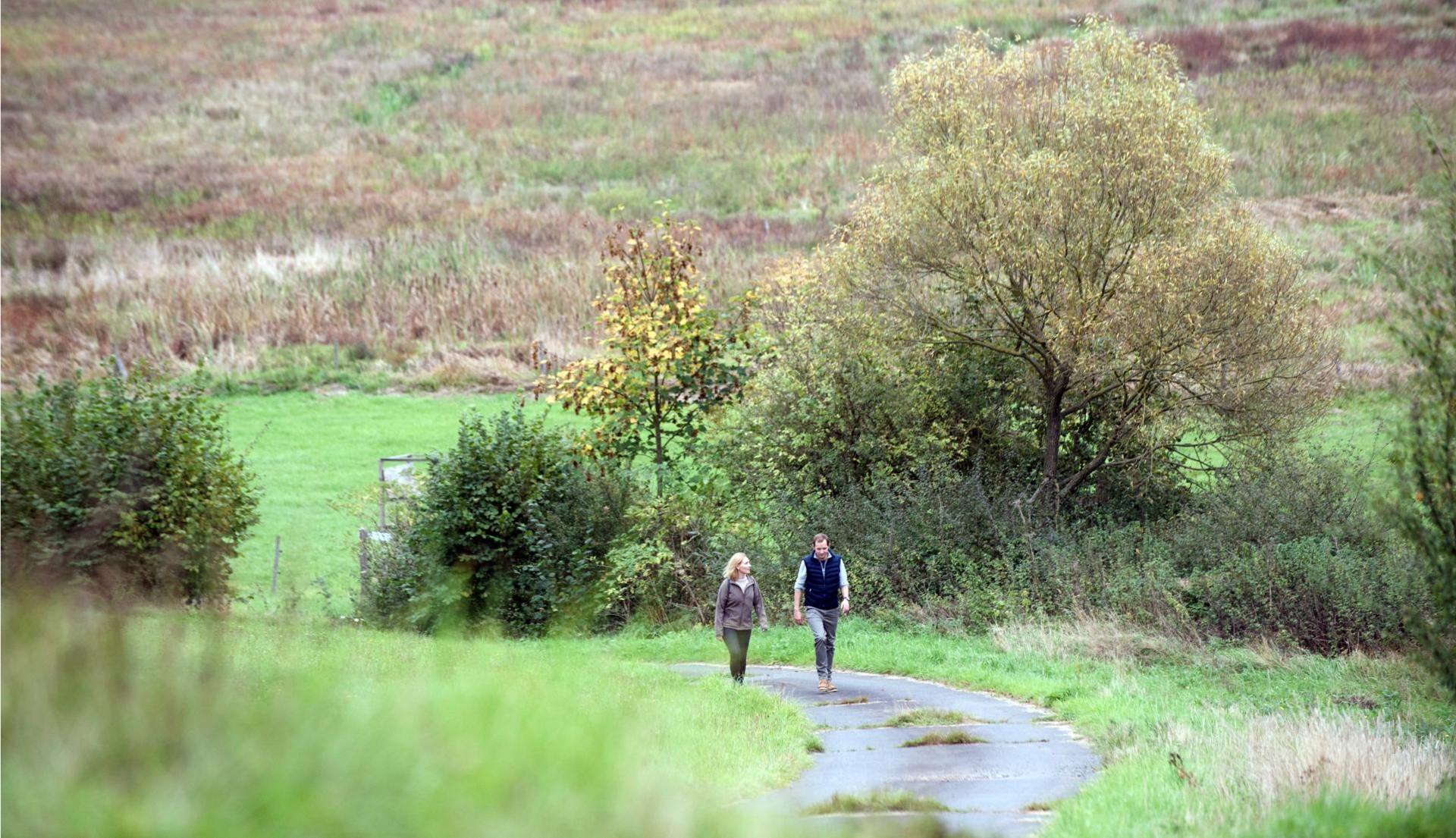
Pleasure hiking in the Spessart: trails that taste as good as they look

The National Natural Landscapes in Hessen
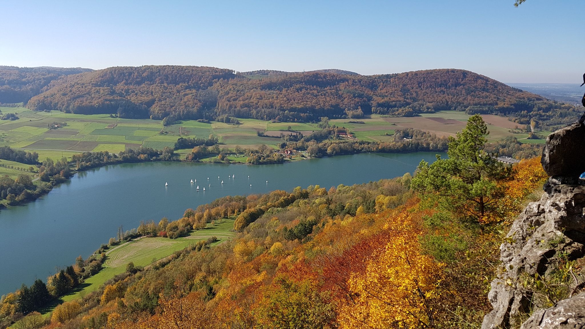
Colourful leaves & gentle hills – hiking in autumn in Franconia
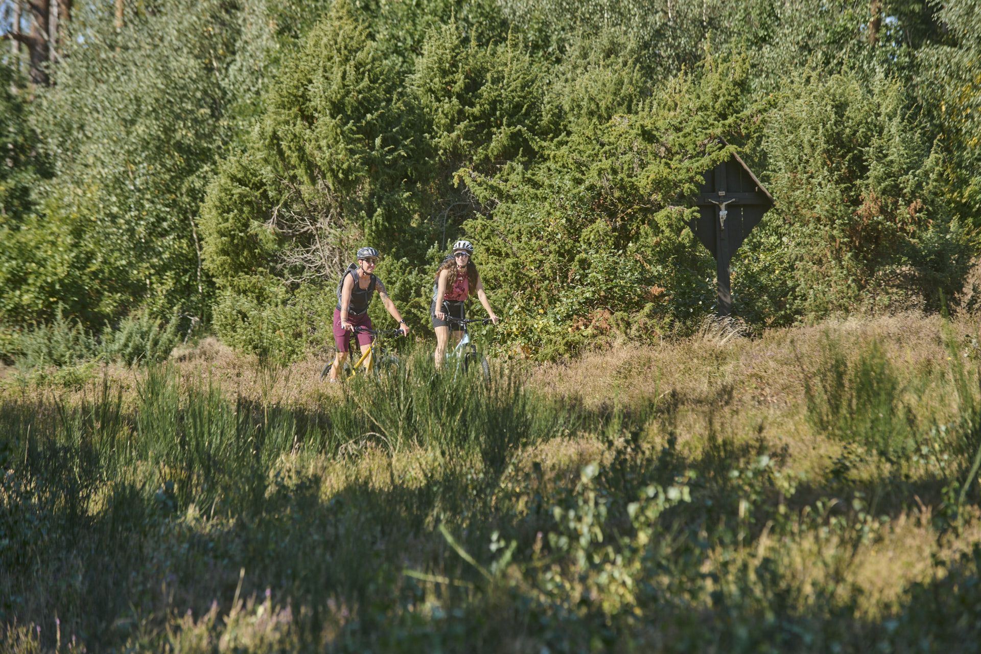
Nature, trails and local cuisine – MTB in the Spessart
Mountain biking in the Spessart – Awesome trails in Germany
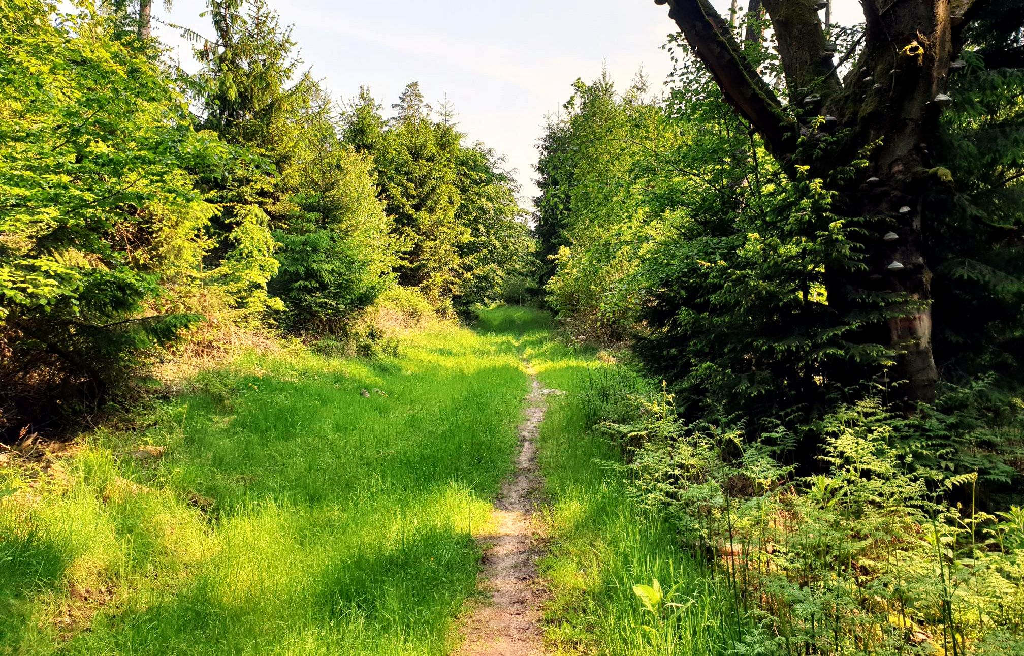
Mountain biking in the Spessart – Awesome trails in Germany
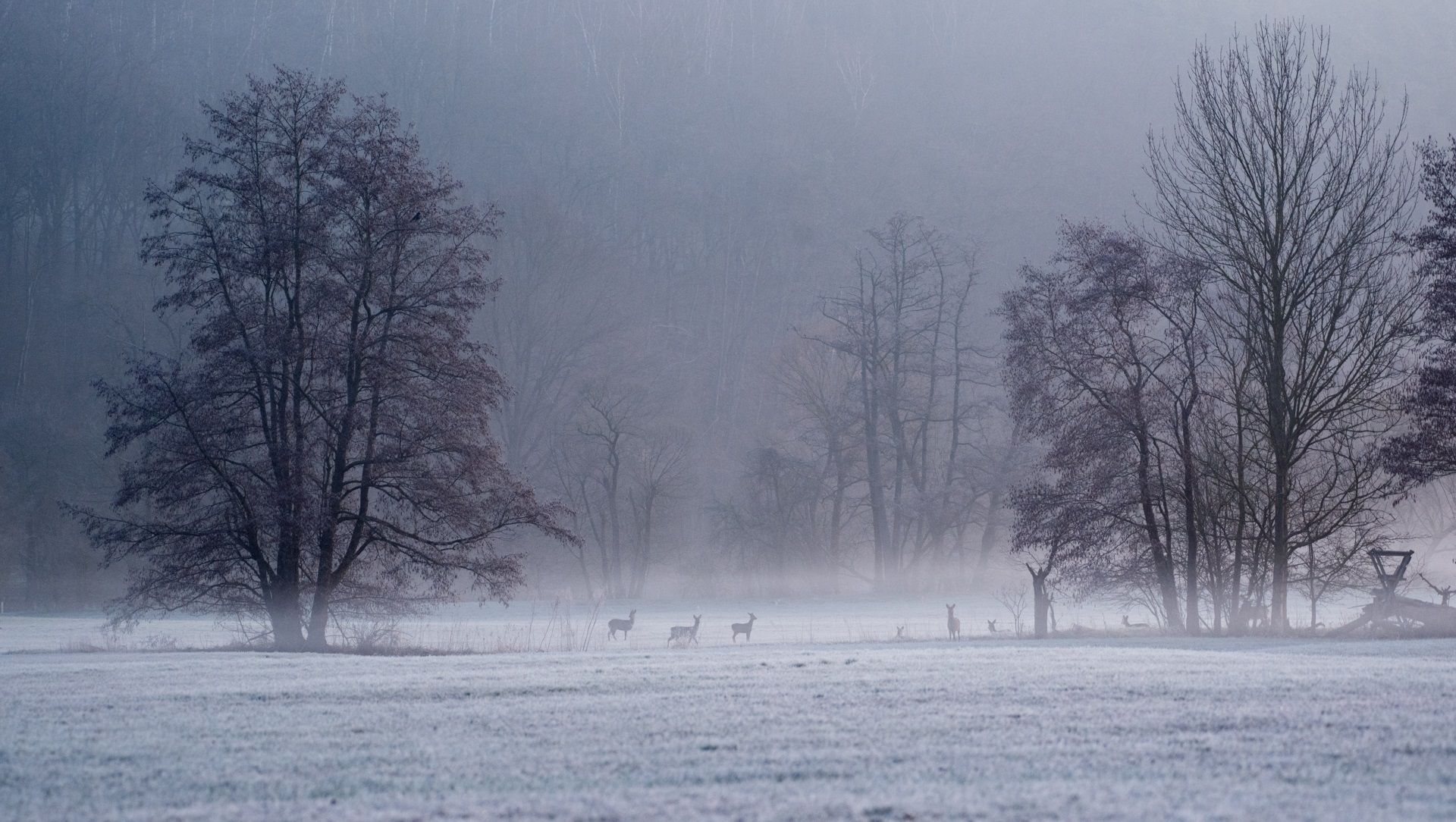
Die schönsten Winterwanderungen im Spessart
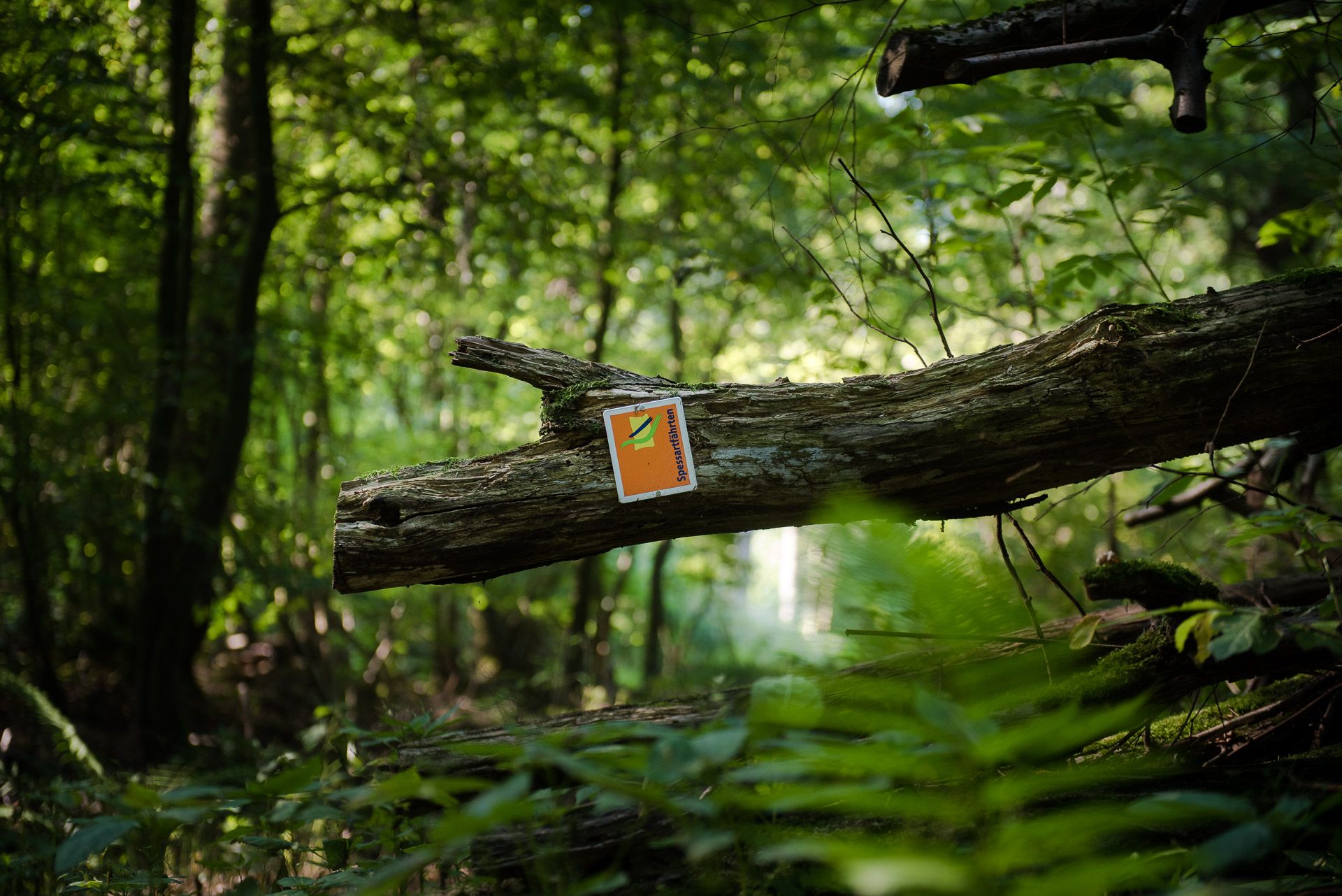
Die Spessartfährten: Sanfte Tageswanderungen durch den hessischen Spessart
Other adventures around Jossgrund


Tips from the Community

A beautiful path leads here through a small piece of juniper heathland.
0
0

Unfortunately, the Wacholderheide is becoming increasingly overgrown here.
0
0

Jossgrund Loop The slopes of the Jossa Valley, which extend up to higher elevations, repeatedly treat hikers to expansive views on this tour. The starting point is directly at the former moated castle with its mighty walls in Burgjoss. You'll experience the meandering Jossa River, beautiful forest edges, and idyllic meadow valleys. A beautiful trail with great variety, thanks to the frequent changes between forest and open countryside. See: https://www.wanderinstitut.de/premiumwege/hessen/jossgrund-runde/
1
0
Here you can rest with a beautiful view of the Jossa River. A bench, table, and trash can are available. You can walk right down to the water. The Jossa is a 32-kilometer-long river in the Spessart region, flowing in the Main-Kinzig district of southern Hesse. It rises in the Lettgenbrunn district of Jossgrund and flows into the middle course of the Sinn River from the right near the Jossa district of the municipality of Sinntal. It is a fine-grained, silicate-rich low mountain stream. See: https://de.m.wikipedia.org/wiki/Jossa_(Sinn)
1
0
The Jossa is a 32-km-long river in the Spessart region of Hesse, flowing in the Main-Kinzig district of southern Hesse. It rises in the Jossgrund district of Lettgenbrunn and flows into the middle course of the Sinn River from the right near the Jossa district of the municipality of Sinntal. It is a fine-grained, silicate-rich low mountain stream. See: https://de.m.wikipedia.org/wiki/Jossa_(Sinn)
1
0
Jossgrund Loop The open slopes of the Jossa Valley, extending to higher elevations, treat hikers to sweeping views throughout this tour. The starting point is directly at the former moated castle with its imposing walls in Burgjoss. Hikers experience the meandering Jossa River, beautiful forest edges, and idyllic meadow valleys. A lovely and varied trail, thanks to the frequent changes between forest and open countryside. See: https://www.wanderinstitut.de/premiumwege/hessen/jossgrund-runde/
1
0
Oberndorf, along with Burgjoß, Lettgenbrunn, and Pfaffenhausen, is one of four districts of the municipality of Jossgrund in the Main-Kinzig district of Hesse, and the administrative center. This state-recognized German resort with 590 households and approximately 1,650 residents is located about 70 km northeast of Frankfurt am Main on the border between the Bavarian and Hessian Spessart mountains. See: https://de.m.wikipedia.org/wiki/Oberndorf_(Jossgrund)
2
0
There are some beautiful views along the Jossgrund Premium Hiking Trail. See: https://www.wanderinstitut.de/premiumwege/hessen/jossgrund-runde/
1
0
Frequently Asked Questions
How many hiking trails are accessible from bus stations in Jossgrund?
Jossgrund offers over 130 hiking routes that are easily accessible by public transport. This includes a wide variety of trails, from leisurely strolls to more challenging treks through the Spessart Nature Park.
Are there easy bus-accessible hikes suitable for beginners or families?
Yes, Jossgrund has many easy bus-accessible trails perfect for beginners or families. For example, the Stream Near Jossa – Bench by the Jossa River loop from Beilstein is an easy, shorter option that allows you to enjoy the tranquil Jossa valley without extensive effort.
What kind of terrain can I expect on bus station hikes in Jossgrund?
The bus-accessible hikes in Jossgrund primarily traverse the heavily forested Spessart Nature Park. You can expect rolling, wooded hills, gentle valleys along the Jossa river, and clear streams. Some routes, like those near the Beilstein Basalt Formation, might feature unique geological formations.
Are there circular routes that start and end near bus stops?
Absolutely. Many of the trails are designed as circular routes, allowing you to return to your starting point without needing to arrange separate transport. The Spessart Trail: Jossgrund Loop is a moderate circular hike that showcases the region's beauty.
What natural features or landmarks can I see on bus-accessible hikes?
You can discover several interesting natural features and landmarks. The unique Beilstein Basalt Formation is a notable geological site. The region is also characterized by its diverse forests with ancient oak and beech trees, and the picturesque Jossa valley. The Burgwiesenpark in Burgjoß offers a relaxing stop with a Kneipp basin and playground.
Can I bring my dog on these bus station hikes?
Yes, Jossgrund is generally very dog-friendly. Most trails accessible from bus stations welcome dogs, provided they are kept on a leash, especially in nature reserve areas or near wildlife. The extensive forests offer plenty of shaded paths for your canine companion.
When is the best time of year to hike from bus stations in Jossgrund?
The Spessart region is beautiful year-round. Spring brings blooming wildflowers, while summer offers lush green forests and pleasant temperatures. Autumn is particularly scenic with vibrant fall foliage. Even in winter, the quiet, snow-dusted forests can be magical, though some paths might be slippery. Always check local weather conditions before heading out.
What do other hikers say about the bus-accessible trails in Jossgrund?
The komoot community highly rates the trails in Jossgrund, with an average score of 4.56 stars. Hikers often praise the well-maintained paths, the tranquility of the Spessart forests, and the ease of access to nature directly from public transport stops.
Are there any historical sites accessible from bus station trails?
Yes, you can incorporate historical sites into your bus-accessible hikes. The remnants of the high-medieval castle near the Beilstein Basalt Formation are an interesting stop. Additionally, the ruins of Burg Jossa, a former 12th-century water castle, are located in Burgjoß and can be reached via local trails.
Can you recommend a moderate hike that offers diverse scenery?
For a moderate hike with varied scenery, consider the Beilstein Basalt Formation – Beilstein Ruins and Viewpoint loop from Beilstein. This route combines the unique basalt formation with historical ruins and scenic viewpoints, offering a great overview of the region's natural and cultural highlights.
How can I find bus routes and schedules to reach the trailheads?
For detailed information on bus routes and schedules to reach the trailheads in Jossgrund, it's best to consult the local public transport provider's website or use a regional journey planner. You can find more information on regional transport options via Spessart Tourismus.
Most popular routes around Jossgrund
Most popular attractions around Jossgrund

Get inspired with the komoot mobile app


Explore more
Browse the best Hikes in other regions.
