The best hikes from bus stations around Gerbstedt
4.6
(2603)
8,917
hikers
35
hikes
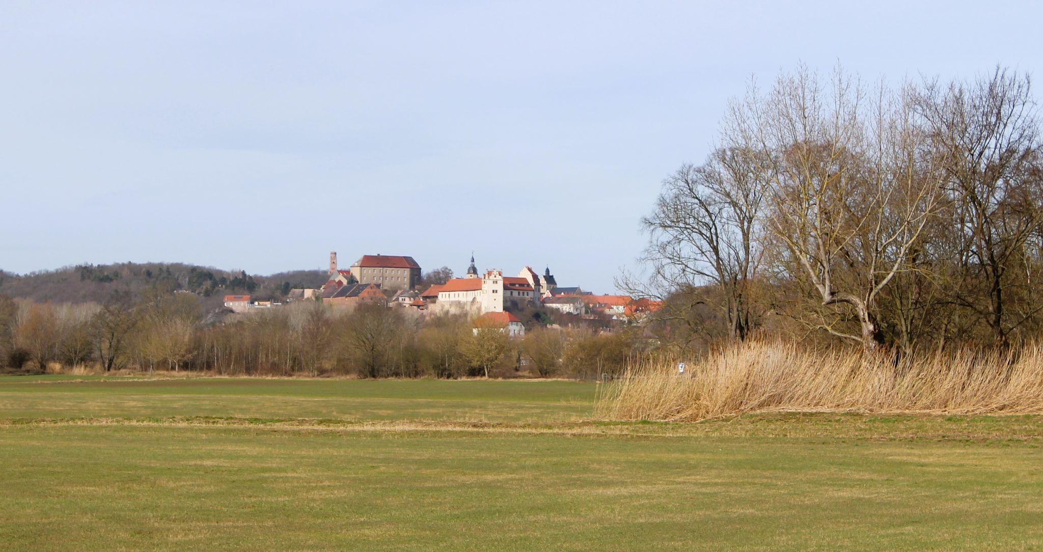
Bus station hiking trails around Gerbstedt offer access to a diverse landscape in Saxony-Anhalt, Germany. The region features a variety of natural beauty, including "Natural Monuments" and "Canyons," with notable views of the Saale River at Porphyrlandschaft near Gimritz. The area is characterized by varied terrain, encompassing forests, cliffs, streams, and agricultural landscapes, providing a range of environments for outdoor exploration. The "Sweet Lake" is also a prominent natural feature within the Mansfelderland.
Best bus station hiking trails around Gerbstedt
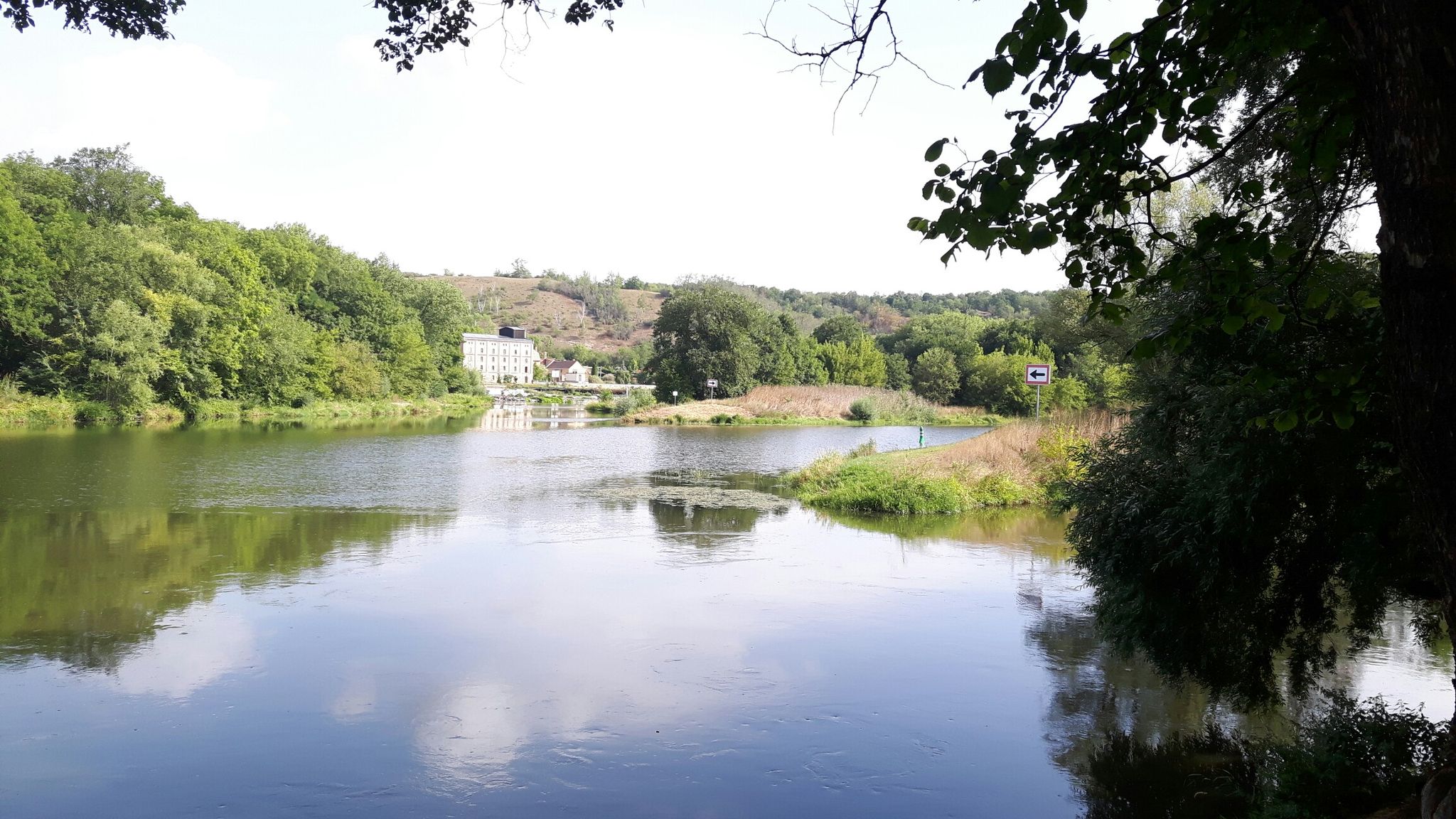
- The most popular bus station hiking route is Saale Ferry at Rothenburg – Rothenburg Lock loop from Saaledurchbruch bei Rothenburg, a 6.9 miles (11.2 km) moderate trail that takes 3 hours to complete. This route offers views of the Saale River and the surrounding Porphyrlandschaft.
- Another top favourite among local hikers is Eichberg – Falkenstein Castle loop from Saaledurchbruch bei Rothenburg, an easy 3.2 miles (5.2 km) path. This loop explores the area around Eichberg, providing scenic views and a connection to historical sites.
- Local hikers also love the Machine Monument Hettstedt – Battle of Welfesholz Memorial loop from Welfesholz, a 6.5 miles (10.5 km) trail leading through historical landscapes, often completed in about 2 hours 45 minutes.
- Hiking around Gerbstedt is defined by diverse landscapes, including riverside forests, agricultural fields, and areas with natural monuments. The network offers options for various ability levels, from easy strolls to more challenging routes.
- The routes in Gerbstedt are highly rated by the komoot community with an average score of 4.6 stars from more than 2,400 reviews. More than 8,900 hikers have used komoot to explore Gerbstedt's varied terrain.
Last updated: June 28, 2026
4.2
(6)
18
hikers
Moderate hike. Good fitness required. Easily-accessible paths. Suitable for all skill levels.
4.5
(2)
15
hikers
5.19km
01:27
100m
100m
Easy hike. Great for any fitness level. Easily-accessible paths. Suitable for all skill levels.

Sign up for free
3.0
(1)
4
hikers
Moderate hike. Good fitness required. Easily-accessible paths. Suitable for all skill levels.
5
hikers
7.63km
02:01
70m
70m
Moderate hike. Good fitness required. Easily-accessible paths. Suitable for all skill levels.
5.0
(3)
6
hikers
18.9km
05:05
230m
230m
Hard hike. Very good fitness required. Easily-accessible paths. Suitable for all skill levels.
Get access to more routes and recommendations from other explorers.
Sign up for free
Already have an account?
Our route recommendations are based on thousands of hikes, rides, and runs completed by other people on komoot.
Start today with a free account
Your next adventure awaits.
Login or Signup
Other adventures around Gerbstedt

Tips from the Community

It is an interesting and skillfully very well-maintained building. 😄 👍
0
0

Picturesque Schlenzetal, it is nice to walk here.
5
0
There is much to discover, even a tombstone of Münchhausen stands here, especially the mausoleum and the sandstone portal at the church entrance.
8
0
Monument to the fallen heroes of the Franco-Prussian War 1870/71.
7
0
Even in summer with water, and sometimes it overflows.
5
0
Popular meeting point also in winter for ice skating.
5
0
Small for Berlin, but already quite nice for a small place. A well-maintained playground.
6
0
Frequently Asked Questions
How many hiking trails are accessible from bus stations around Gerbstedt?
There are nearly 40 hiking trails around Gerbstedt that are easily accessible from bus stations. This guide features 37 routes, offering a wide variety of options for all skill levels.
What kind of landscapes can I expect on bus-accessible hikes near Gerbstedt?
The region around Gerbstedt offers diverse landscapes, including agricultural fields, forests, and views of the Saale River. You can explore areas with natural monuments, canyons, and the beautiful Sweet Lake in Mansfelderland. The broader Saxony-Anhalt region, where Gerbstedt is located, is characterized by varied terrain including forests, cliffs, moors, streams, and mountains.
Are there easy hiking trails from bus stops suitable for beginners or families?
Yes, there are plenty of easy routes perfect for beginners or families. For example, the Helmsdorf Farm Shop – Mausoleum loop is an easy option. Overall, 17 of the routes in this guide are rated as easy, making them ideal for a relaxed outing.
Are there any circular hiking routes accessible by bus around Gerbstedt?
Many of the trails accessible by bus around Gerbstedt are circular routes, offering convenient starting and ending points. Examples include the moderate Saale Ferry at Rothenburg – Rothenburg Lock loop and the easy Eichberg – Falkenstein Castle loop.
What are some interesting landmarks or viewpoints I can see on these hikes?
Hikers can discover various points of interest. The region offers scenic views, such as the 'View of the Saale River at Porphyrlandschaft near Gimritz.' You might also encounter unique cultural attractions like the 'Burgenwanderweg' (Castle Trail) with its miniature castles. The Machine Monument Hettstedt – Battle of Welfesholz Memorial loop takes you past historical sites.
What do other hikers say about the trails around Gerbstedt?
The hiking trails around Gerbstedt are highly regarded by the komoot community, with an average rating of 4.6 out of 5 stars from over 2,400 reviews. Hikers often praise the diverse landscapes, well-maintained paths, and the accessibility of many routes from public transport.
Are the bus-accessible hiking trails around Gerbstedt dog-friendly?
Most hiking trails in the Gerbstedt region are dog-friendly, allowing you to enjoy the outdoors with your canine companion. It's always recommended to keep dogs on a leash, especially in agricultural areas or near wildlife, and to carry waste bags. Specific trail rules may vary, so check local signage.
What is the best time of year to hike around Gerbstedt?
The Gerbstedt region offers pleasant hiking opportunities throughout much of the year. Spring brings blooming landscapes, while autumn showcases vibrant foliage. Summer is ideal for longer days, and even mild winter days can be beautiful for a crisp walk. Always check weather conditions before heading out.
Are there any challenging routes accessible by bus for experienced hikers?
While many routes are easy to moderate, there are options for more experienced hikers. The Helmsdorf Farm Shop – Waldmannsheil House loop is rated as difficult, offering a longer distance and more elevation gain for those seeking a challenge. In total, this guide includes one difficult route.
Where can I find more information about hiking in Saxony-Anhalt?
For broader information about hiking opportunities and natural highlights in the region, you can visit the official Saxony-Anhalt tourism website: saxony-anhalt-tourism.com.
What are the typical durations and elevations for these bus-accessible hikes?
The bus-accessible hikes around Gerbstedt vary significantly. Easy routes, like the Helmsdorf Farm Shop – Mausoleum loop, can be as short as 4 km with minimal elevation gain, taking around an hour. Moderate trails, such as the Saale Ferry at Rothenburg – Rothenburg Lock loop, can be over 11 km with around 120 meters of ascent, taking several hours. The most challenging routes can extend up to 19 km with over 230 meters of elevation.
Most popular routes around Gerbstedt
Most popular attractions around Gerbstedt

Get inspired with the komoot mobile app


Explore more
Browse the best Hikes in other regions.
