The best hikes from bus stations around Schüttorf
4.4
(6234)
23,810
hikers
102
hikes
Bus station hiking trails around Schüttorf offer access to a diverse landscape characterized by riverine floodplains, forested hills, and distinctive geological features. The region features the scenic Vechte Valley, with its floodplains and the Vechte River, alongside the lush Bentheimer Forest. Hikers can also explore the Bentheim Sandstone Cliffs, which represent the northwesternmost outposts of the Central European Uplands. The area's topography includes rolling hills and riverbanks, providing varied terrain for outdoor activities.
Best bus station hiking trails around Schüttorf
…Last updated: June 27, 2026
4.7
(578)
1,534
hikers
7.06km
01:53
70m
70m
Easy hike. Great for any fitness level. Easily-accessible paths. Suitable for all skill levels.
4.4
(58)
202
hikers
14.4km
03:40
40m
40m
Moderate hike. Good fitness required. Easily-accessible paths. Suitable for all skill levels.

Sign up for free
4.4
(19)
72
hikers
13.4km
03:23
20m
20m
Moderate hike. Good fitness required. Easily-accessible paths. Suitable for all skill levels.
4.5
(37)
360
hikers
2.92km
00:44
10m
10m
Easy hike. Great for any fitness level. Easily-accessible paths. Suitable for all skill levels.
4.7
(19)
49
hikers
7.78km
01:58
10m
10m
Easy hike. Great for any fitness level. Easily-accessible paths. Suitable for all skill levels.
Get access to more routes and recommendations from other explorers.
Sign up for free
Already have an account?
Our route recommendations are based on thousands of hikes, rides, and runs completed by other people on komoot.
Start today with a free account
Your next adventure awaits.
Login or Signup
Other adventures around Schüttorf


Tips from the Community

Quiet piece of nature. Good starting point for activities such as walking or cycling.
0
0

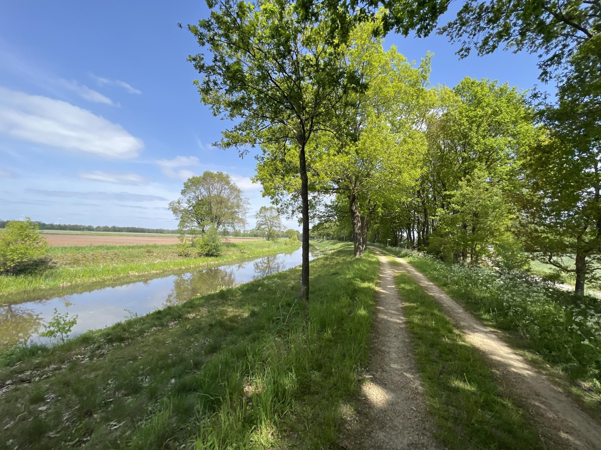
Far to the west of Lower Saxony, the river Vechte winds its way through the green landscape of the Grafschaft Bentheim region. Several paths lead along the Vechte. On the banks of the river, which flows westwards into the Netherlands, a diverse landscape stretches out, alternating between forests, meadows and fields, heathland and moorland. Quelle: https://www.ndr.de/ratgeber/reise/emsland/Radtour-an-der-Vechte-durch-die-Grafschaft-Bentheim,vechte106.html
1
0
„Tödden“ – this is what travelling salesmen, who went across the country on foot to sell their wares, were called in the past. And that is precisely why the Töddenweg is also called that. It was once the main trade route between the city of Osnabrück and the Netherlands.
1
0
The Eileringsbecke flows into the Vechte in Samern as a tributary.
1
0
Since 1998, the Vechteaue development concept has aimed at the conservation and reactivation of the Vechteaue with its water network as the natural lifelines of the landscape. The focus here is on the renaturation of the Vechte, which should be able to shape its riverbed within certain boundaries again by itself, e.g. with sandbanks, bank collapses and scour holes, which represent important partial habitats of the "water bodies" ecosystem.
1
0
A special project for the renaturation of the Vechte is the newly constructed weir, which restores the natural riverbed.
1
0
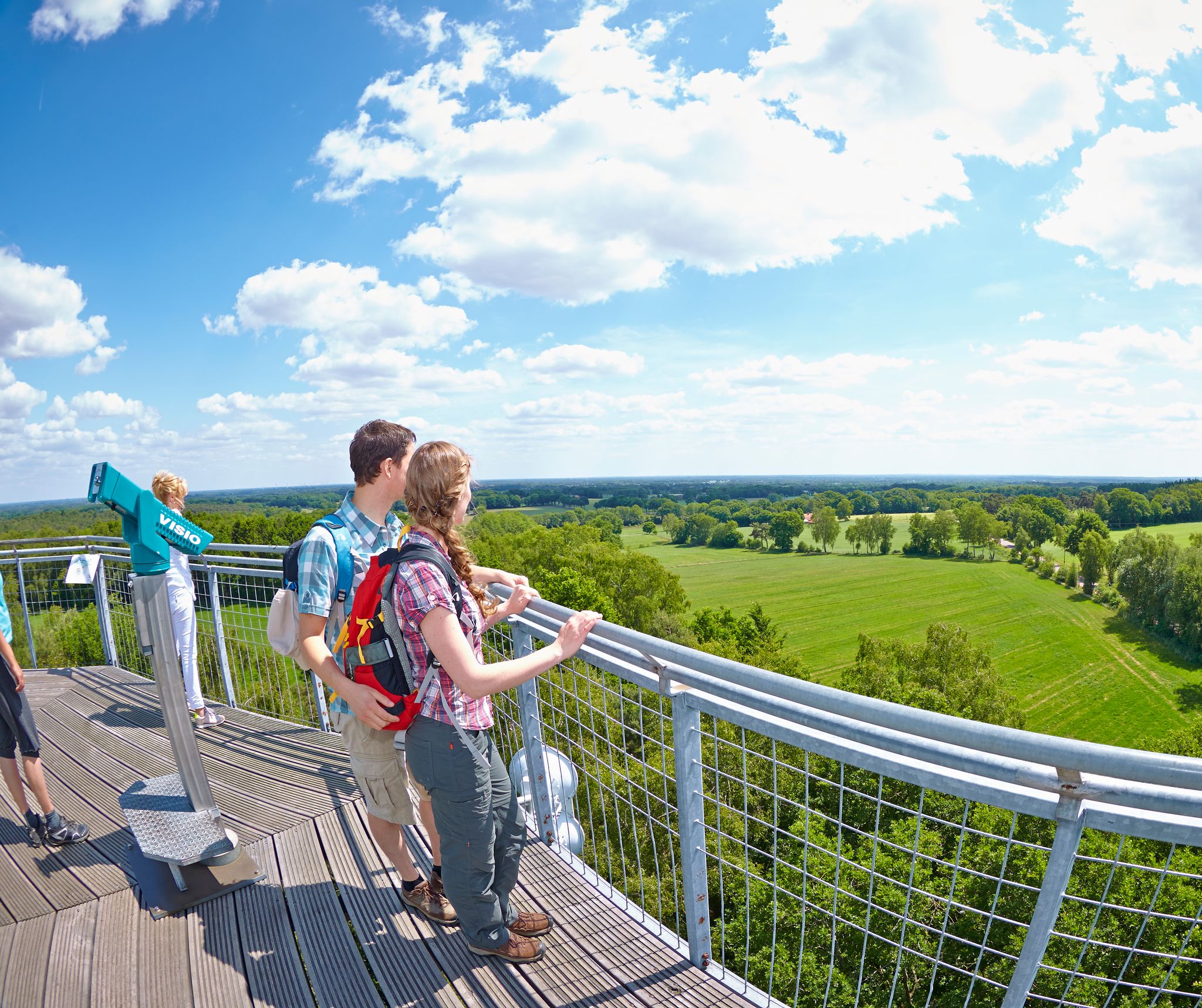
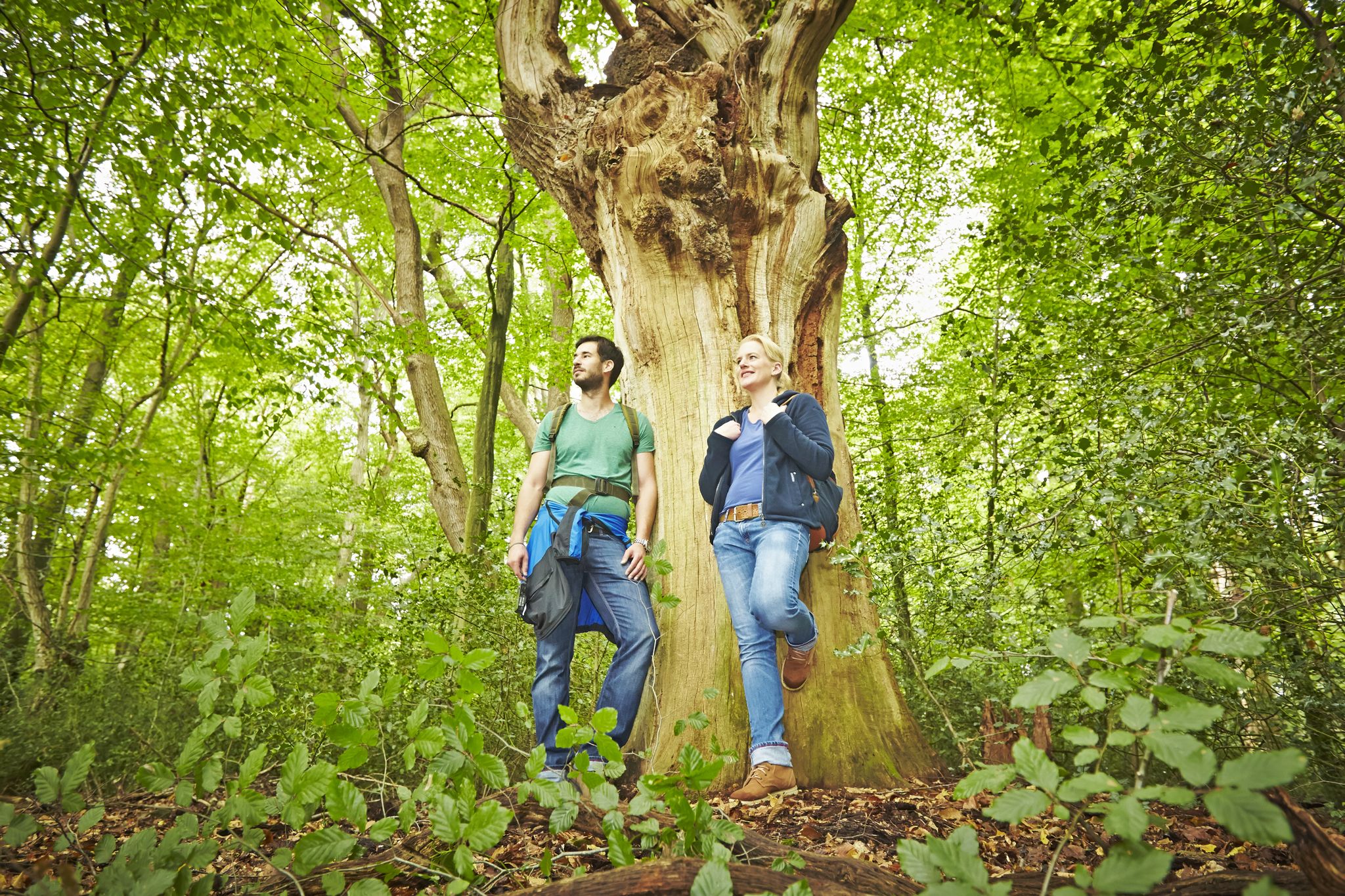
Explore Station 3 of the Forest Experience Trail, the forest roof, lying down.
1
0
Beautiful ridge trail above the cliffs.
1
0
Frequently Asked Questions
How many bus-accessible hiking trails are available around Schüttorf?
There are over 100 hiking trails around Schüttorf that are easily accessible by bus, offering a wide range of options for all skill levels. The region provides diverse landscapes, from river valleys to forested hills, all reachable via public transport.
Are there easy hiking trails from bus stations in Schüttorf suitable for beginners?
Yes, Schüttorf offers many easy trails perfect for beginners. For example, the Bentheim Sandstone Cliffs – Bentheim Cliffs loop is an easy 7 km route that allows you to experience the unique geological features of the area without strenuous effort. Another great option is the shorter Quendorf Lake – Else at the Lake loop, which is just under 3 km.
What kind of natural attractions can I expect to see on bus-accessible hikes near Schüttorf?
The bus-accessible hikes around Schüttorf showcase a variety of natural beauty. You can explore the picturesque Vechte Valley, the lush Bentheimer Forest, and the distinctive Bentheim Sandstone Cliffs. Many routes also feature the tranquil Quendorfer Lake and the floodplains of the Vechte River, which are home to diverse wildlife.
Are there any family-friendly hiking routes accessible by bus in Schüttorf?
Absolutely! Many trails around Schüttorf are suitable for families. The area around Quendorfer Lake, for instance, offers child-friendly paths. The shorter, easy routes like the Quendorf Lake – Else at the Lake loop are ideal for families with younger children, providing gentle terrain and scenic views.
Can I find circular hiking routes from bus stations in Schüttorf?
Yes, many of the bus-accessible trails in Schüttorf are circular, allowing you to start and end your hike at the same point, often conveniently near a bus stop. Examples include the Bentheim Sandstone Cliffs – Bentheim Cliffs loop and the Else at the Lake – Quendorfer Lake loop.
What is the best time of year to go hiking around Schüttorf by bus?
The best seasons for hiking around Schüttorf are spring and autumn. During these times, the landscape bursts with vibrant colors, and the temperatures are mild and pleasant for outdoor activities. The natural features like the Vechte Valley and Bentheimer Forest are particularly beautiful during these periods.
What do other hikers say about the bus-accessible trails in Schüttorf?
The komoot community highly rates the hiking experiences around Schüttorf, with an average score of 4.27 stars. Hikers often praise the well-maintained paths, the diverse scenery ranging from forests to riverbanks, and the convenience of accessing these trails via public transport.
Are there any historical landmarks or points of interest along these bus station trails?
Yes, the region around Schüttorf is rich in history. You can encounter historic mills, and the town itself, as the oldest in the county, features parts of its old city wall, the large church (the "Schüttorfer Giant"), and the old town hall. While not directly on every trail, these cultural highlights are often within easy reach of bus-accessible routes.
Are there any moderate difficulty trails accessible by bus for more experienced hikers?
For those seeking a bit more challenge, there are moderate trails available. The Bentheim Forest – Höltingstuhl Monument loop is a moderate 14.4 km route that takes you through the dense Bentheimer Forest, offering a longer and more immersive experience in nature.
Can I bring my dog on the bus-accessible hiking trails in Schüttorf?
Many of the hiking trails around Schüttorf are dog-friendly, allowing you to enjoy the natural surroundings with your canine companion. It's always recommended to keep dogs on a leash, especially in nature reserves or areas with wildlife, and to check local regulations for specific routes or public transport rules regarding pets.
Are there any trails that feature water bodies like lakes or rivers?
Absolutely. The Vechte River flows through Schüttorf, and many trails follow its banks, offering scenic views of the riverine floodplains. Additionally, the Else at the Lake – Quendorfer Lake loop specifically highlights Quendorfer Lake, providing beautiful lakeside walking opportunities.
What are some unique geological features I can explore on these hikes?
The region is known for its distinctive Bentheim Sandstone Cliffs, which are the northwesternmost outposts of the Central European Uplands. Trails like the Bentheim Sandstone Cliffs – Bentheim Cliffs loop offer a chance to see these impressive formations and even the Bentheim Cliffs — Old Quarry.
Most popular routes around Schüttorf
Most popular attractions around Schüttorf

Get inspired with the komoot mobile app


Explore more
Browse the best Hikes in other regions.
