The best traffic-free bike rides around Walkenried
4.8
(40)
219
riders
22
rides
No traffic gravel bike trails around Walkenried are situated in the southern Harz Mountains, characterized by a distinctive natural and karst landscape. The region features tranquil stream valleys, flowering meadows, and extensive forest roads suitable for gravel biking. This area also includes the historic Cistercian pond landscape, a network of at least 50 ponds forming a nature reserve. The terrain offers a mix of bike paths, lightly trafficked roads, and forestry roads, providing varied elevation gains.
Best no traffic gravel…
Last updated: October 1, 2026
7
riders
107km
06:43
1,370m
1,370m
Hard gravel ride. Very good fitness required. You may need to push your bike for some segments of this route.
5.0
(4)
9
riders
69.2km
04:36
1,300m
1,300m
Hard gravel ride. Very good fitness required. Mostly paved surfaces. Suitable for all skill levels.

7
riders
21.0km
01:21
240m
240m
Moderate gravel ride. Good fitness required. Mostly paved surfaces. Suitable for all skill levels.
5.0
(2)
3
riders
43.2km
02:45
670m
670m
Hard gravel ride. Very good fitness required. Mostly paved surfaces. Suitable for all skill levels.
Get access to more routes and recommendations from other explorers.
Already have an account?
Our route recommendations are based on thousands of hikes, rides, and runs completed by other people on komoot.
Start today with a free account
Your next adventure awaits.
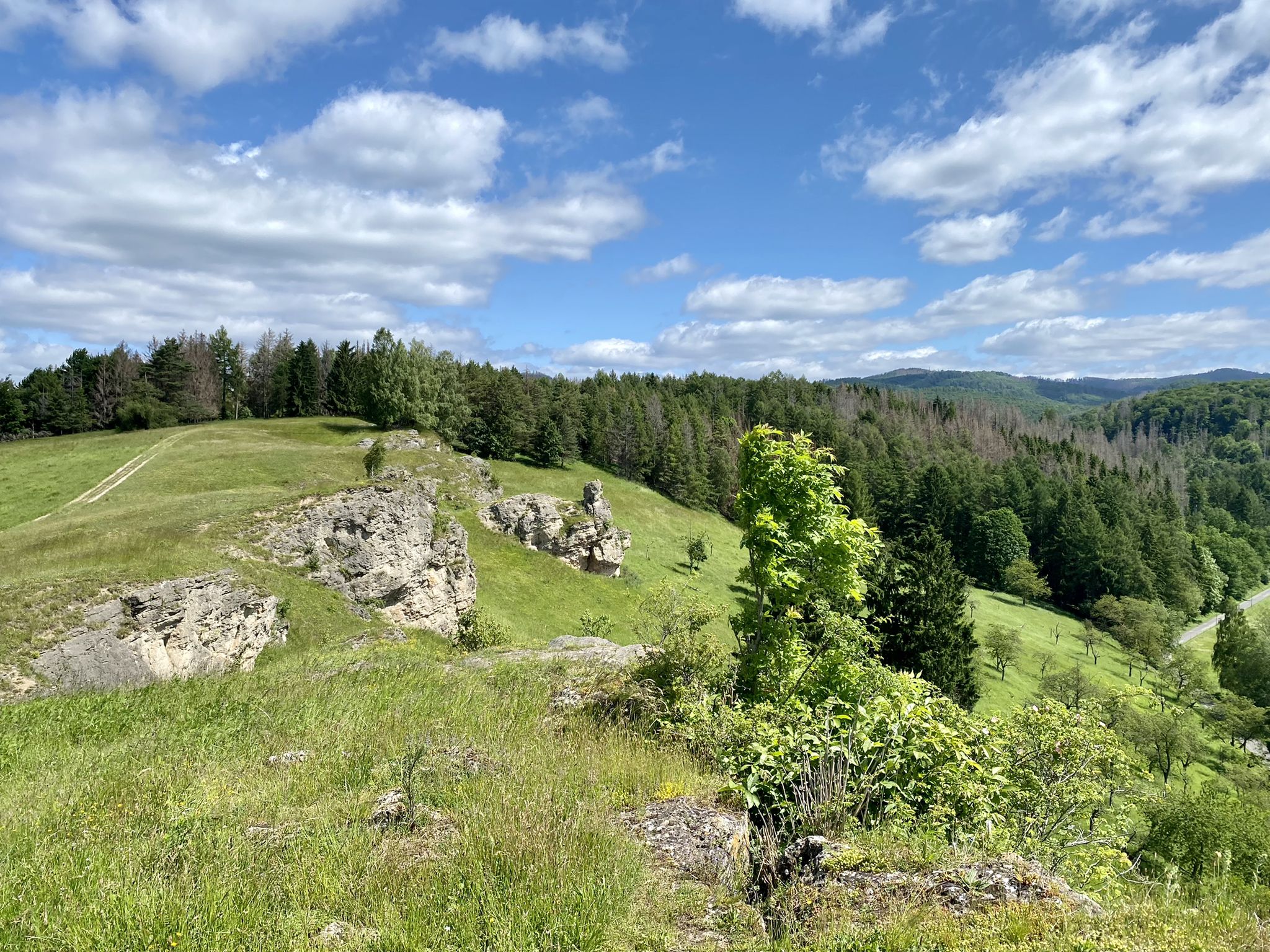

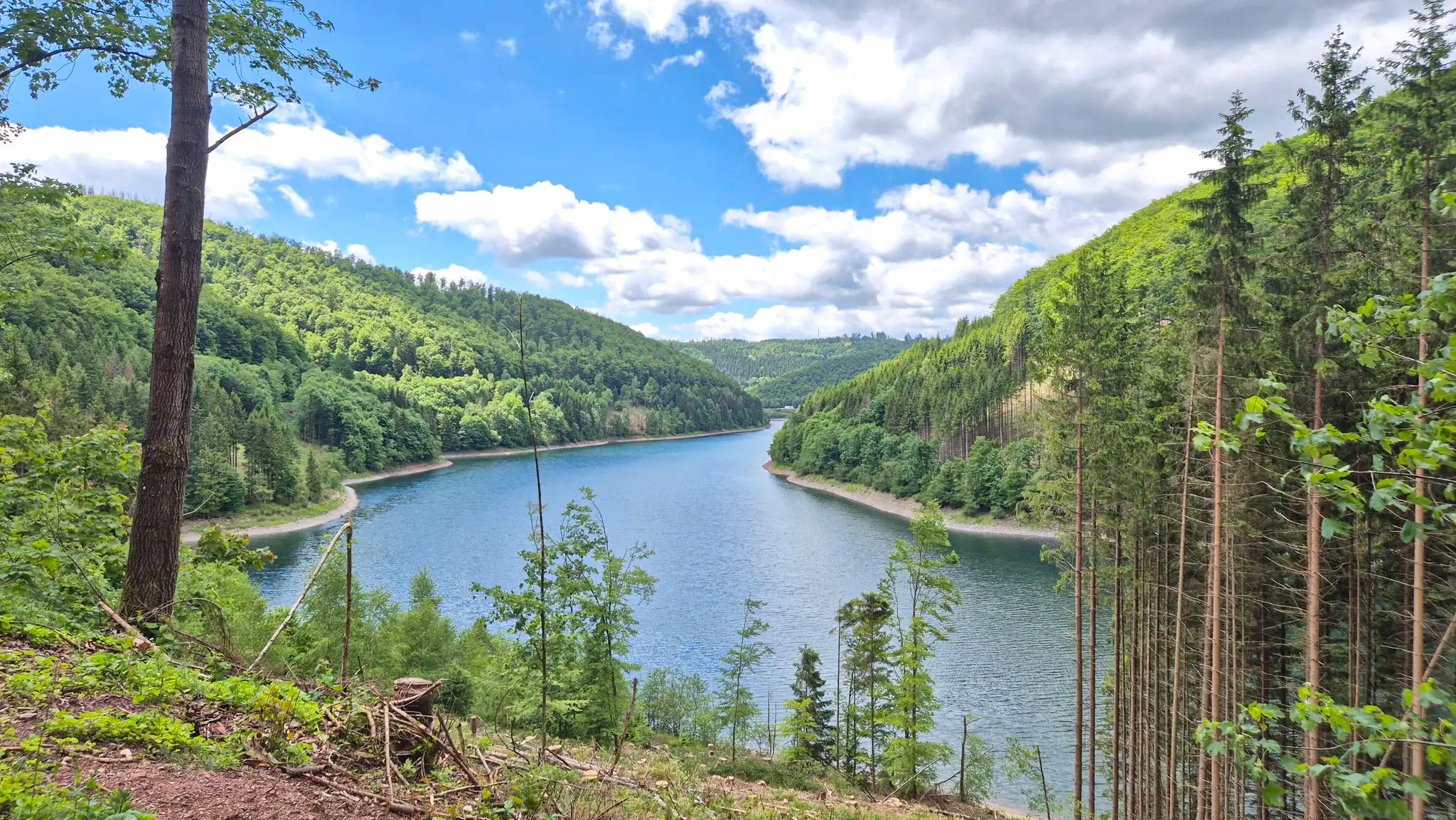
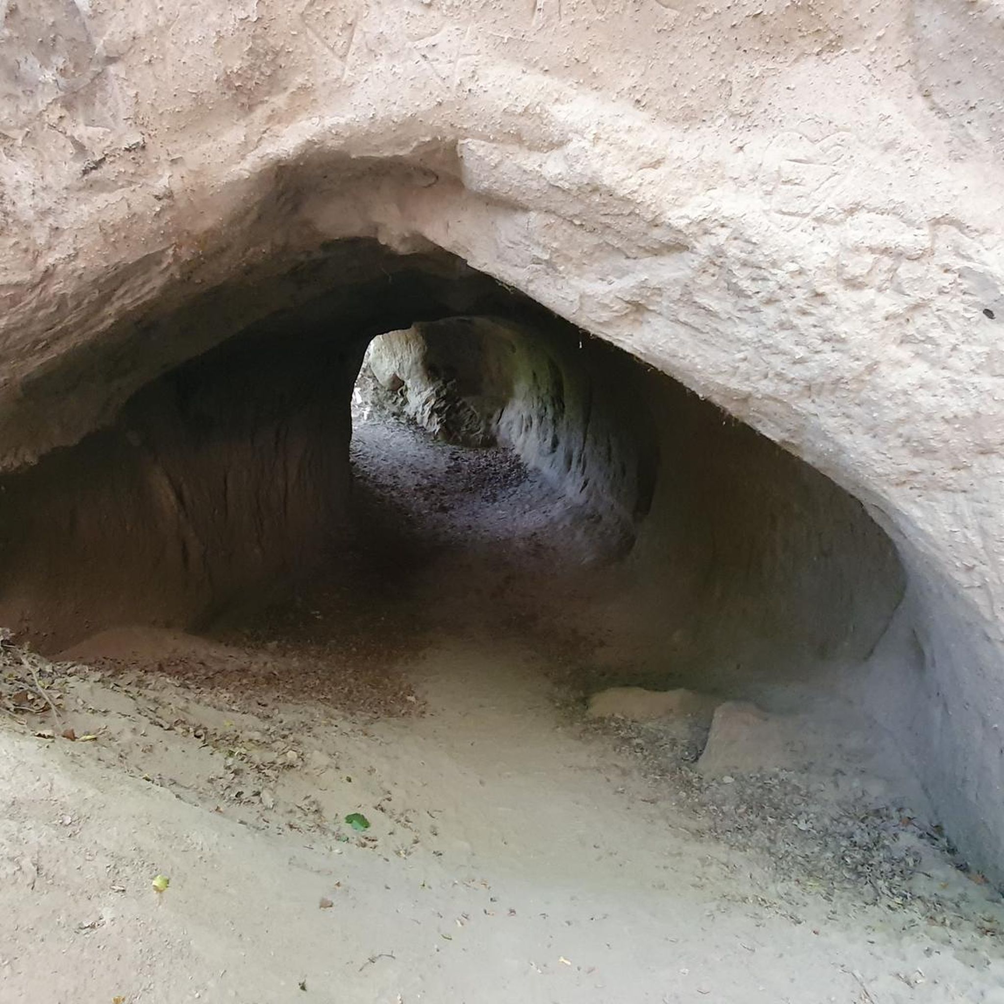
Other adventures around Walkenried


Tips from the Community

A small drinking water reservoir, beautifully situated by still water, the beech slope offers beautiful photo opportunities.
1
0

The journey is the destination - not always easy terrain, but very beautiful in dry weather
1
0

It's really tiring to ride on the paved path. But the scenery is very impressive.
1
0

From the Rappbode Dam, you have breathtaking views over dense forests, rolling hills, and the shimmering water. The surrounding nature invites you to linger, hike, and breathe deeply.
3
0

Ravensberg <-> Stöberhai can be easily reached by e-bike once you are at the top ;-)
0
0

All traffic from Stolberg has to go through here, it is very narrow
4
0
It is an absolute highlight
2
0

Frequently Asked Questions
How many no-traffic gravel bike trails are available around Walkenried?
There are over 20 no-traffic gravel bike trails around Walkenried, offering a variety of experiences. These routes primarily utilize forest and forestry roads, as well as dedicated bike paths, ensuring a peaceful ride through the South Harz landscape.
What kind of terrain can I expect on gravel bike trails in Walkenried?
The terrain around Walkenried is diverse, ranging from gentle upland landscapes to routes with over 1,000 meters of elevation gain. You'll encounter a mix of well-maintained gravel paths, forest roads, and some lightly trafficked tarmac sections, characteristic of the Harz region's 'Gravel-Paradise' reputation.
Are there any challenging no-traffic gravel routes for experienced riders?
Yes, Walkenried offers several challenging routes. For instance, the Ruins of Walkenried Abbey – Stolberg Historic Old Town loop from Walkenried is a difficult 102 km tour with over 1200 meters of elevation, providing a significant test for experienced gravel bikers.
Can I find family-friendly no-traffic gravel bike trails in Walkenried?
While many routes in the area feature significant elevation, there are options suitable for families looking for less traffic. The region's extensive network of forest roads and dedicated paths allows for a safer riding experience away from cars. Look for routes with moderate difficulty and shorter distances for a more relaxed family outing.
What natural features or landmarks can I see along the gravel bike trails?
The trails often pass through the distinctive natural and karst landscape, featuring tranquil stream valleys, flowering meadows, and enchanted forests. You can also explore the historic Cistercian pond landscape, a nature reserve with at least 50 preserved fish ponds. Notable highlights include the Red shot (HWN 90), offering panoramic views, and various lakes like Stierberg Pond (HWN 048).
Are there any circular no-traffic gravel bike routes starting from Walkenried?
Yes, many of the gravel routes around Walkenried are designed as loops. An example is the Walkenried Abbey Ruins – Ruins of Walkenried Abbey loop from Walkenried, a challenging 69 km tour that allows you to start and finish in the same location while exploring the area's beauty.
What is the best time of year for gravel biking in Walkenried?
The Harz region is generally excellent for gravel biking from spring through autumn. The mild weather and vibrant landscapes make for enjoyable rides. While winter can be challenging due to snow and ice, many forest roads remain passable, offering a unique experience for those prepared for colder conditions.
What do other gravel bikers enjoy most about the trails in Walkenried?
The komoot community rates the gravel biking experience in Walkenried highly, with an average score of 4.7 stars. Riders frequently praise the quiet, traffic-free nature of the trails, the stunning natural scenery of the South Harz, and the engaging mix of climbs and descents that make for a rewarding ride.
Are there any moderate-difficulty no-traffic gravel routes suitable for intermediate riders?
Absolutely. For intermediate riders, the View of Bad Sachsa – View of Priorteich loop from Walkenried offers a moderate challenge. This 21 km route features around 240 meters of elevation gain, providing a good balance of effort and scenic enjoyment without heavy traffic.
Where can I find parking for gravel biking near Walkenried?
Walkenried and its surrounding areas offer various parking options, especially near popular trailheads and attractions. Given the focus on no-traffic routes, parking is often available at the start points of many forest and bike paths, allowing easy access to the car-free sections.
Can I access these gravel trails using public transport?
Walkenried is accessible by public transport, making it possible to reach the starting points of many trails without a car. The town is well-connected within the region, and local buses or trains often accommodate bikes, allowing you to explore the car-free routes conveniently.
Most popular routes around Walkenried
Most popular attractions around Walkenried

Get inspired with the komoot mobile app


Explore more
Browse the best Gravel rides in other regions.
