The best hikes from bus stations around Spreenhagen
4.6
(16968)
60,560
hikers
48
hikes
Bus station hiking trails around Spreenhagen are situated within the Oder-Spree district of Brandenburg, Germany. The region features a varied topography of forests, lakes, and rivers, including the Spree and Löcknitz. This area is characterized by a generally flat landscape, with minimal elevation changes, making it suitable for accessible hiking. Spreenhagen's location provides access to natural features such as the Großer Kolpiner See and extensive woodlands.
Best bus station hiking trails around Spreenhagen
- The most popular bus station hiking route…
Last updated: October 1, 2026
4.8
(14)
46
hikers
16.1km
04:18
180m
180m
Moderate hike. Good fitness required. Easily-accessible paths. Suitable for all skill levels.
5.0
(6)
21
hikers
18.9km
04:46
30m
30m
Moderate hike. Good fitness required. Easily-accessible paths. Suitable for all skill levels.

4.5
(11)
19
hikers
Hard hike. Very good fitness required. Easily-accessible paths. Suitable for all skill levels.
4.6
(5)
12
hikers
Hard hike. Very good fitness required. Easily-accessible paths. Suitable for all skill levels.
5.0
(3)
15
hikers
Moderate hike. Good fitness required. Easily-accessible paths. Suitable for all skill levels.
Get access to more routes and recommendations from other explorers.
Already have an account?
Our route recommendations are based on thousands of hikes, rides, and runs completed by other people on komoot.
Start today with a free account
Your next adventure awaits.
Popular around Spreenhagen
Other adventures around Spreenhagen

Tips from the Community

by kayak on the Müggelspree
0
0

The circuit is a must-do.
0
0

Very nice but unfortunately closed until September 25 due to renovation of the cycle path
3
0

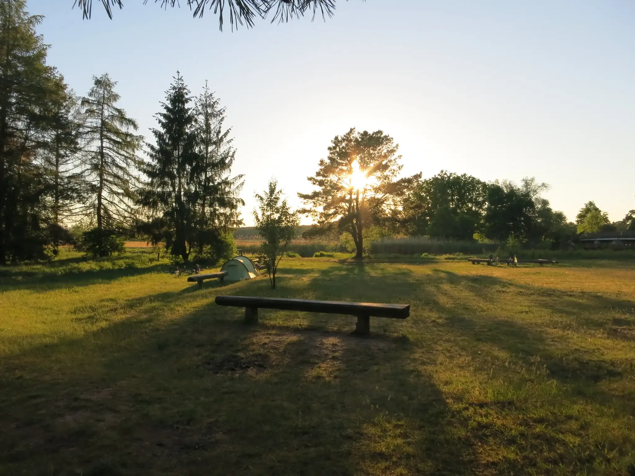
This spot is also ideal for rainy days, and is a great place for small groups to take a break.
0
0

Evangelical village church of Spreenhagen; it was built in 1855. It is built in the round-arch style of the Schinkel school. In the years 1901 to 1903, the church was extended with a neo-Gothic extension. The interior dates from this period.
0
0

The small sandy beach is a lovely place to relax and is ideal for swimming on warm days.
0
2

Hello everyone. We did this tour yesterday with the Komoot app. At the level of the Skabi Torfsee, the district forester came towards us and asked us what we were doing here and how we got here. We explained the route from Spreenhagen to him and that we were hiking with the Komoot app. He didn't think that was so great and said that there were already legal proceedings against Komoot because this route goes over private property. We should have seen 3 signs, which unfortunately we didn't, apart from signs such as Danger to life mining lake and former military training area. We were supposed to go past the wall and then right through the open barrier, where one of these signs said no entry to private property. Do any of you know this case? Maybe Frank Meyer, who hikes a lot? Would something happen to me if I made my tour public? Greetings, Sille.
0
0
Frequently Asked Questions
How many bus station hiking trails are available around Spreenhagen?
There are over 50 hiking routes around Spreenhagen that are easily accessible from bus stations. These trails offer a variety of experiences, from easy strolls to more challenging long-distance hikes.
Are there any easy, family-friendly hikes accessible by bus in Spreenhagen?
Yes, Spreenhagen offers several easy routes suitable for families. For instance, the area around the Märchenteich provides an approximately 10-kilometer trail with no significant elevation gain, making it accessible for all skill levels. Many of the 14 easy routes in the region are designed for a relaxed outdoor experience.
What kind of landscapes can I expect on bus-accessible hikes in Spreenhagen?
The region around Spreenhagen is characterized by diverse natural landscapes. You'll find lush forests, meandering rivers like the Spree and Löcknitz, and numerous lakes such as the Großer Kolpiner See and the larger Scharmützelsee. The flat terrain, especially in areas bordering the Spreewald, features old deciduous forests, picturesque villages, and floodplains.
Are there any circular hiking routes starting from bus stops in Spreenhagen?
Yes, many routes are designed as circular walks. An example is the Rauen Viewing Tower – Great Kolpiner Lake loop from Kolpin, which offers a scenic round trip. Another option is the Kiesgrube Lake – Spreenhagen Village Church loop from Spreenhagen, providing a varied experience starting and ending in the village.
What are the best times of year for bus-accessible hikes in Spreenhagen?
The best time for outdoor activities in Spreenhagen is typically between May and September. During these months, the weather is generally pleasant, and the natural landscapes are at their most vibrant, making for ideal hiking conditions.
What do other hikers say about the trails in Spreenhagen?
The hiking trails around Spreenhagen are highly rated by the komoot community, with an average score of 4.6 out of 5 stars from over 15,500 ratings. Hikers often praise the quiet woodlands, the scenic beauty of the lakes and rivers, and the well-maintained paths that make for an enjoyable experience.
Are there any viewpoints or observation towers accessible on these bus-friendly routes?
Yes, you can incorporate viewpoints into your hikes. The Rauen Viewing Tower is a notable highlight that can be reached on routes like the Rauen Viewing Tower – Great Kolpiner Lake loop from Kolpin. Another option is the Kranichsberg Observation Tower, offering panoramic views of the surrounding landscape.
Can I find any interesting natural or man-made attractions along the bus station hiking trails?
Absolutely. Beyond the natural beauty, you can discover various attractions. For example, the Woltersdorf Lock is an interesting man-made structure. Natural features like the Püttberge Sand Dunes offer a unique landscape to explore.
Are there any longer, more challenging hikes accessible by bus for experienced hikers?
Yes, for those seeking a greater challenge, there are difficult routes available. The Große Tränke bivouac site – Mönchwinkel bivouac site loop from Spreenhagen is a demanding 23.5 km trail. Another option is the Spree near Mönchwinkel – View from the Spree bridge loop from Große Tränke, which is over 22 km long.
Are dogs allowed on the bus-accessible hiking trails in Spreenhagen?
Generally, dogs are welcome on most hiking trails in the Spreenhagen region, especially in the forests and open natural areas. However, it's always advisable to keep dogs on a leash, particularly in nature reserves or near wildlife, and to respect local signage regarding pet regulations.
Are there any routes that follow rivers or canals?
Yes, the region is rich in waterways. The Oder-Spree Canal offers hiking opportunities that combine nature experiences with historical elements. You can also find routes that follow the Spree River, providing picturesque views along its banks.
Most popular routes around Spreenhagen
Most popular attractions around Spreenhagen

Get inspired with the komoot mobile app


Explore more
Browse the best Hikes in other regions.
