The best hikes from bus stations around Wriezen
4.6
(4201)
13,497
hikers
34
hikes
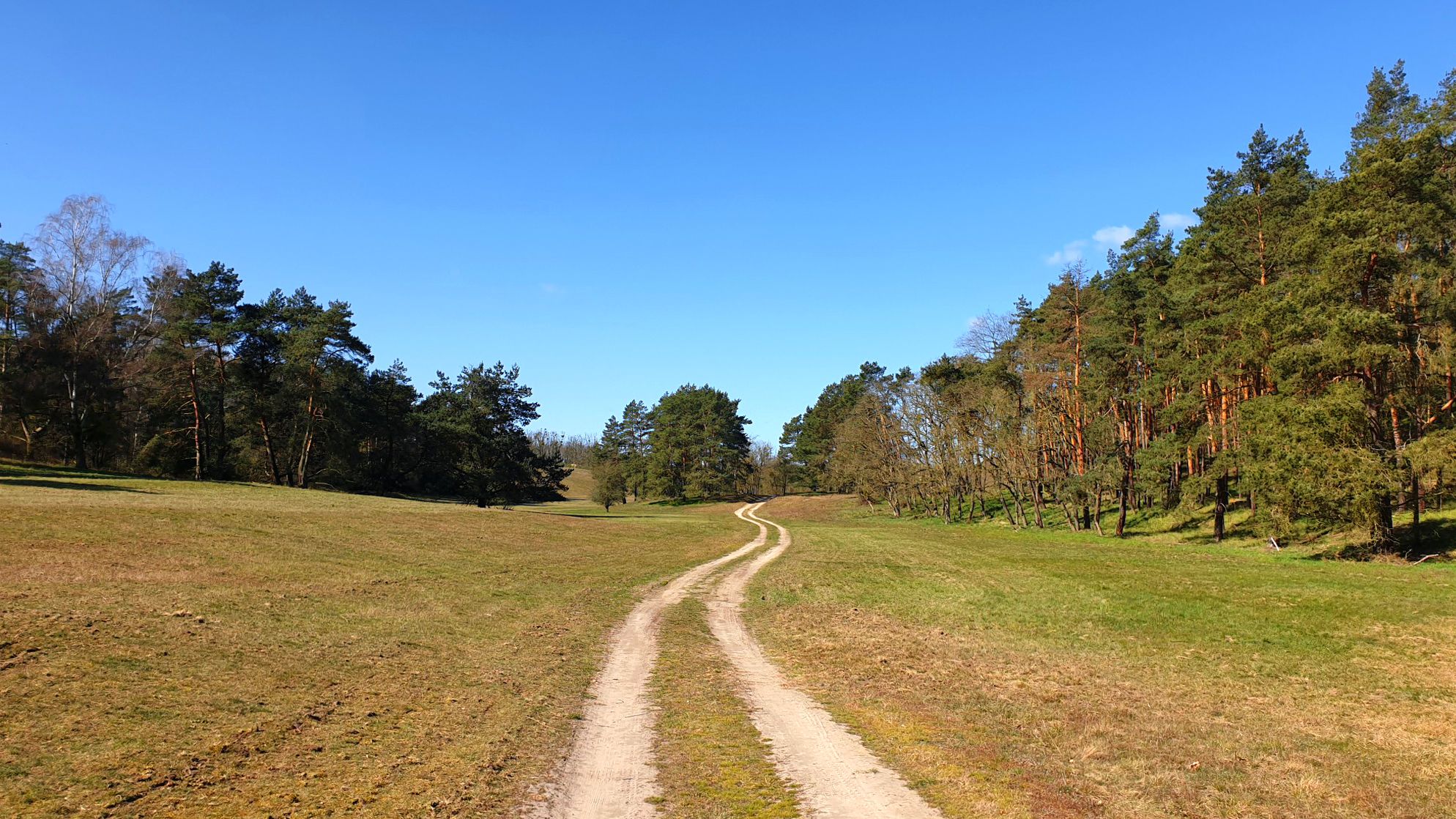
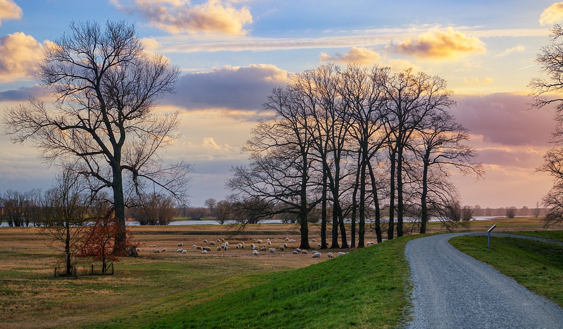
Bus station hiking trails around Wriezen offer access to the diverse landscapes of the Oderbruch region and the Märkische Schweiz Nature Park. The area features varied topography, from expansive river lowlands to areas with "low mountain range" characteristics, reaching elevations up to 100 meters. Hikers can expect deep green forests, valleys, and numerous lakes, providing a range of natural experiences. This region is characterized by its varying surface structures and diverse vegetation zones.
Best bus station hiking trails around Wriezen
…Last updated: August 21, 2026
4.8
(6)
17
hikers
10.6km
02:46
80m
80m
Moderate hike. Good fitness required. Easily-accessible paths. Suitable for all skill levels.
4.1
(8)
19
hikers
12.2km
03:05
20m
20m
Moderate hike. Good fitness required. Easily-accessible paths. Suitable for all skill levels.

Sign up for free
4.2
(9)
19
hikers
12.2km
03:04
20m
20m
Moderate hike. Good fitness required. Easily-accessible paths. Suitable for all skill levels.
4.7
(7)
15
hikers
Hard hike. Very good fitness required. Easily-accessible paths. Suitable for all skill levels.
4.8
(6)
13
hikers
23.4km
06:06
170m
170m
Hard hike. Very good fitness required. Easily-accessible paths. Suitable for all skill levels.
Get access to more routes and recommendations from other explorers.
Sign up for free
Already have an account?
Our route recommendations are based on thousands of hikes, rides, and runs completed by other people on komoot.
Start today with a free account
Your next adventure awaits.
Login or Signup
Popular around Wriezen
Germany’s Oderlandweg — explore Brandenburg's Little Thuringia
Tour Brandenburg – Cycle around Berlin in 18 stages
Cycling through an unknown land of lakes – Western Lake District Route
Travelling without boundaries – German-Polish cycling trips
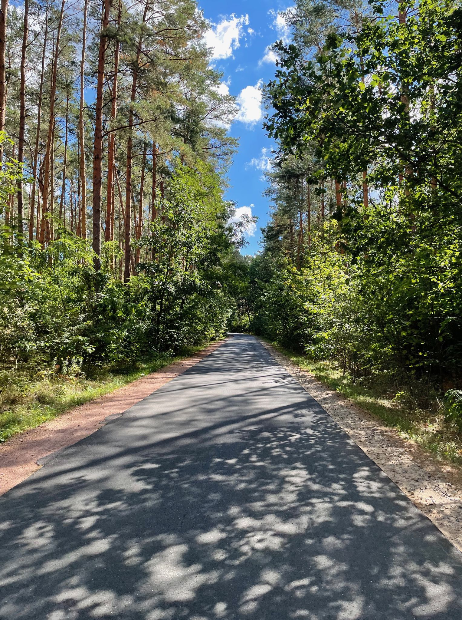
Bikepacking on Germany’s Oderbruchbahn Cycle Path
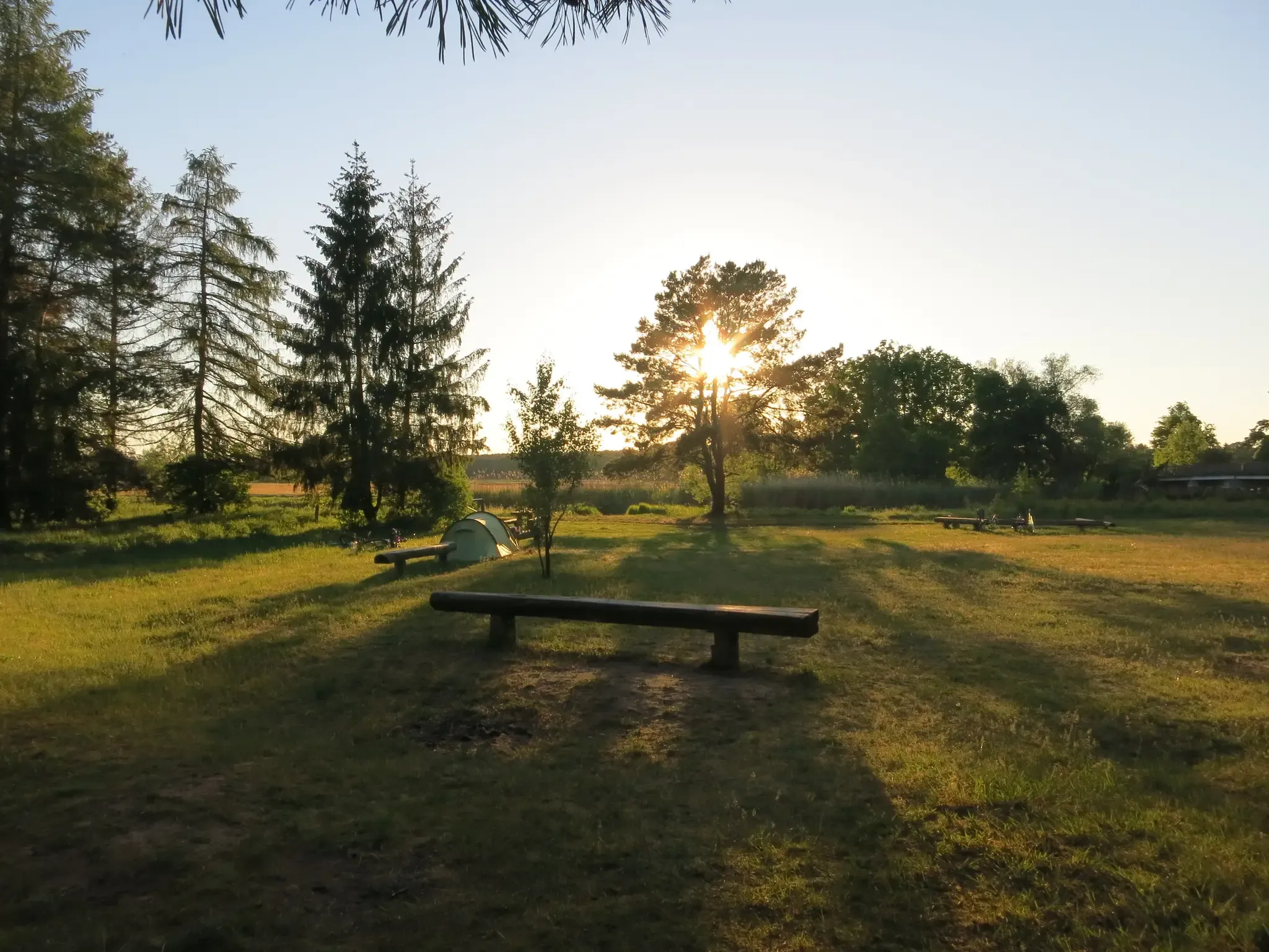
Natural campsites around Berlin
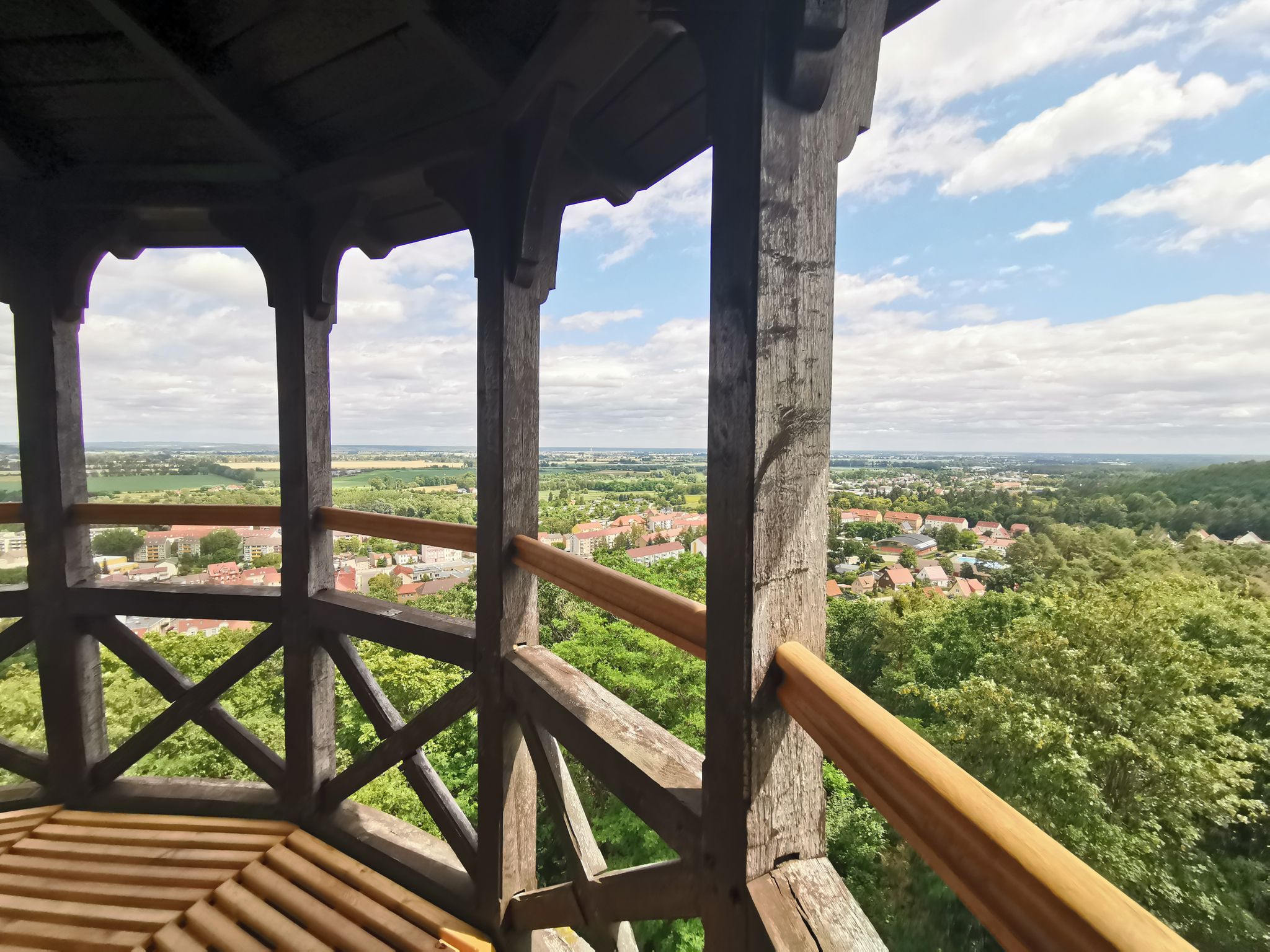
Oderlandweg - Wandern im Seenland Oder-Spree
Tour Brandenburg - Radfahren im Seenland Oder-Spree
Other adventures around Wriezen


Tips from the Community

Fish Strudel
0
0

Indeed, it's very picturesque, but also very sandy. Doable on gravel, but also strenuous.
0
0

Brick church dating from 1752. The former church cemetery was relocated about 150 meters further south in 1856. A small circular path now adorns the forecourt of the old church.
5
0
The castle is the center of the Altranft Museum. Here you will find the information point for the museum area, exhibitions, museum café and museum shop. Built in 1600 and rebuilt many times, it now shows interesting exhibitions about life in the region at the end of the 19th century.
5
0
First mentioned in 1375, a small settlement was established. Coal mines, sugar factories and briquette factories were important economic sectors from the middle of the 19th century. Today it is an open-air museum and presents important aspects of Brandenburg's history and the everyday life of the rural population from the 18th century.
4
0

Rectangular, simply structured plastered building from 1752, neo-Gothic tower from 1901
1
0
In 1879, the "observation tower" (as it is also called) was inaugurated as a war memorial. Not so long ago, there was even a kind of restaurant there. There were also tables and benches on the terrace and along the forest path. There was music and socializing. The tower was actually always full and well-visited back then. But that's unfortunately over. Today it's a stop on the tower diploma and still offers a great view of the Oderbruch (including the boat lift) and, of course, the town at its feet. It's the leaning tower of Bad Freienwalde. 😁 @Mathias57: The tower owes its slight tilt to mining. Due to mining, the foundation sank and is leaning slightly. However, it was carefully supported and the foundation reinforced. For more information, see https://www.reiseland-brandenburg.de/poi/seenland-oder-spree/aussichtstuerme/aussichtsturm-auf-dem-galgenberg/
4
0

This interestingly designed fountain on the theme of Oderbruch and narrow-mindedness is an eye-catcher. It is also a feature of St. Mary's Church, which has had a roof again since April 24. The roof only covers part of the nave. The size of the original version can be seen in the partially plastered tower and the uncovered outer walls. 😉
1
0
Frequently Asked Questions
How many bus station hiking trails are available around Wriezen?
There are over 30 hiking routes around Wriezen that are easily accessible from bus stations. These trails cater to various skill levels, with a good selection of easy, moderate, and some more challenging options.
What kind of terrain can I expect on bus station hikes near Wriezen?
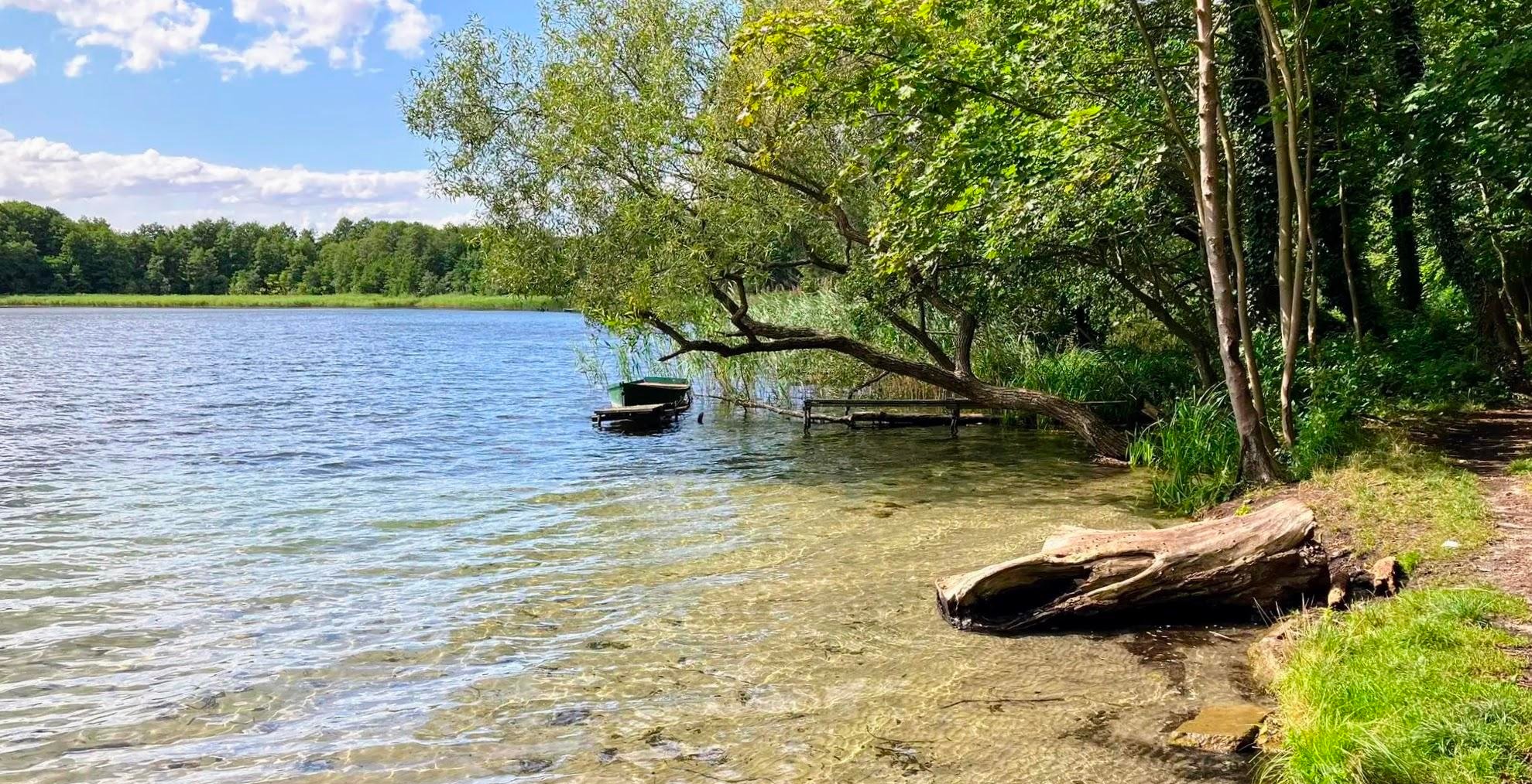
The terrain around Wriezen is quite varied. You can expect paths through the expansive, flat Oderbruch lowlands, as well as more undulating sections with 'low mountain range' characteristics in the nearby Märkische Schweiz Nature Park. Trails often traverse deep green forests, past numerous small lakes like Baasee and Sternebecker See, and through valleys with varying elevations.
Are there easy bus station hikes suitable for beginners or families?
Yes, Wriezen offers many easy routes perfect for beginners and families. For example, the Oderland Trail near Wriezen – Stadtsee Wriezen loop provides varied terrain close to town and is a good starting point. Many trails feature gentle gradients through pleasant forests and past lakes, with 18 routes specifically rated as easy.
Can I bring my dog on these bus station trails?
Generally, dogs are welcome on most hiking trails around Wriezen. However, it's always recommended to keep your dog on a leash, especially when passing through nature reserves, agricultural areas, or near wildlife. Please ensure you clean up after your pet.
What natural features or landmarks can I see on bus station hikes around Wriezen?
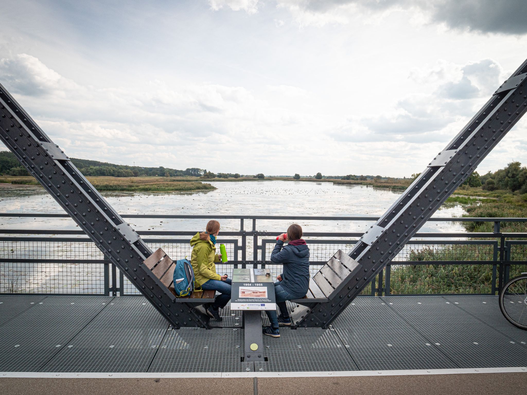
Many bus station hikes will lead you through the diverse landscapes of the Oderbruch and Märkische Schweiz. You might encounter beautiful lakes such as Baasee and Sternebecker See, deep forests, and scenic viewpoints. Some trails offer views of man-made features like the Neurüdnitz-Siekierki European bridge. For specific natural highlights, consider exploring areas with Summit "Märkischer Watzmann" or the View from Dachsberg.
Are there circular routes that start and end at a bus station?
Yes, many of the bus station accessible routes are circular, allowing you to return to your starting point without needing additional transport. An example is the Spritzfabrik W. A. Müller – Lone Tree at Sunset loop from Wriezen, which offers a convenient round trip.
What do other hikers say about the bus station trails around Wriezen?
The hiking trails around Wriezen are highly rated by the komoot community, with an average score of 4.6 stars from over 3,500 ratings. Reviewers often praise the varied terrain, peaceful surroundings, and the beauty of the forests and lakes, especially in spring and autumn.
What is the best time of year to go hiking from Wriezen's bus stations?
The region is beautiful year-round, but spring and autumn are particularly recommended. In spring, the deciduous forests burst with new life, and in autumn, the foliage offers stunning colors. The presence of many lakes and shady forest paths also makes hiking enjoyable during warmer summer days.
Are there longer, more challenging bus station hikes available?
Yes, for those seeking a greater challenge, there are several difficult routes. The Waldschenke at Lake Baasee – Baasee loop from Rathsdorf, for instance, is a longer and more demanding option with significant elevation changes, offering a 'middle mountain range' feel in parts.
Can I find cafes or places to eat near the bus station trailheads?
Wriezen itself has amenities including cafes and restaurants. For trails starting further afield, it's advisable to check the specific route details for any establishments along the way or at the trailhead. Some routes, like those around Lake Baasee, might have options such as the Waldschenke.
Are there any bus station hikes suitable for winter?
While some trails may be less accessible in heavy snow, many of the well-maintained paths through forests and around lakes can be enjoyed in winter. Always check local conditions before heading out and ensure you have appropriate gear for potentially icy or muddy sections.
Most popular routes around Wriezen
Most popular attractions around Wriezen

Get inspired with the komoot mobile app


Explore more
Browse the best Hikes in other regions.
