The best traffic-free bike rides around Bitterfeld-Wolfen
4.4
(2860)
10,072
riders
172
rides
No traffic touring cycling routes around Bitterfeld-Wolfen traverse a landscape transformed from industrial areas into diverse natural features. The region is characterized by extensive lake landscapes, notably the Goitzsche Lake, which offers a well-developed network of cycling paths. Green spaces, river meadows along the Fuhne brook, and proximity to the Dübener Heide Nature Park provide varied terrain for cycling. The elevation changes are generally gentle, making it suitable for touring cyclists seeking accessible routes.
Best no traffic touring cycling routes…
Last updated: October 28, 2026
4.7
(128)
420
riders
50.1km
03:06
140m
140m
Moderate bike ride. Good fitness required. Mostly paved surfaces.
4.7
(101)
315
riders
40.2km
02:39
110m
110m
Moderate bike ride. Good fitness required. Mostly paved surfaces.

4.5
(60)
210
riders
39.9km
02:30
120m
120m
Moderate bike ride. Good fitness required. Mostly paved surfaces.
4.6
(121)
270
riders
Easy bike ride. Mostly paved surfaces.
4.8
(6)
82
riders
13.6km
00:52
20m
20m
Easy bike ride. Mostly paved surfaces.
Get access to more routes and recommendations from other explorers.
Already have an account?
Our route recommendations are based on thousands of hikes, rides, and runs completed by other people on komoot.
Start today with a free account
Your next adventure awaits.
Popular around Bitterfeld-Wolfen
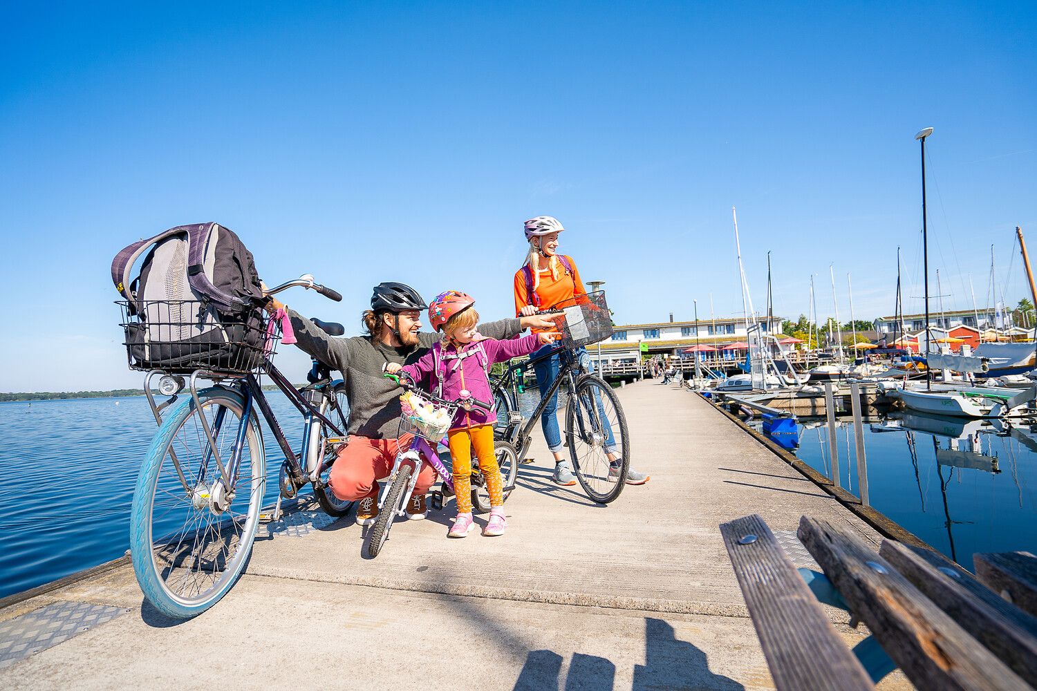
Lake views and fresh air – cycling by the water in the Leipzig region
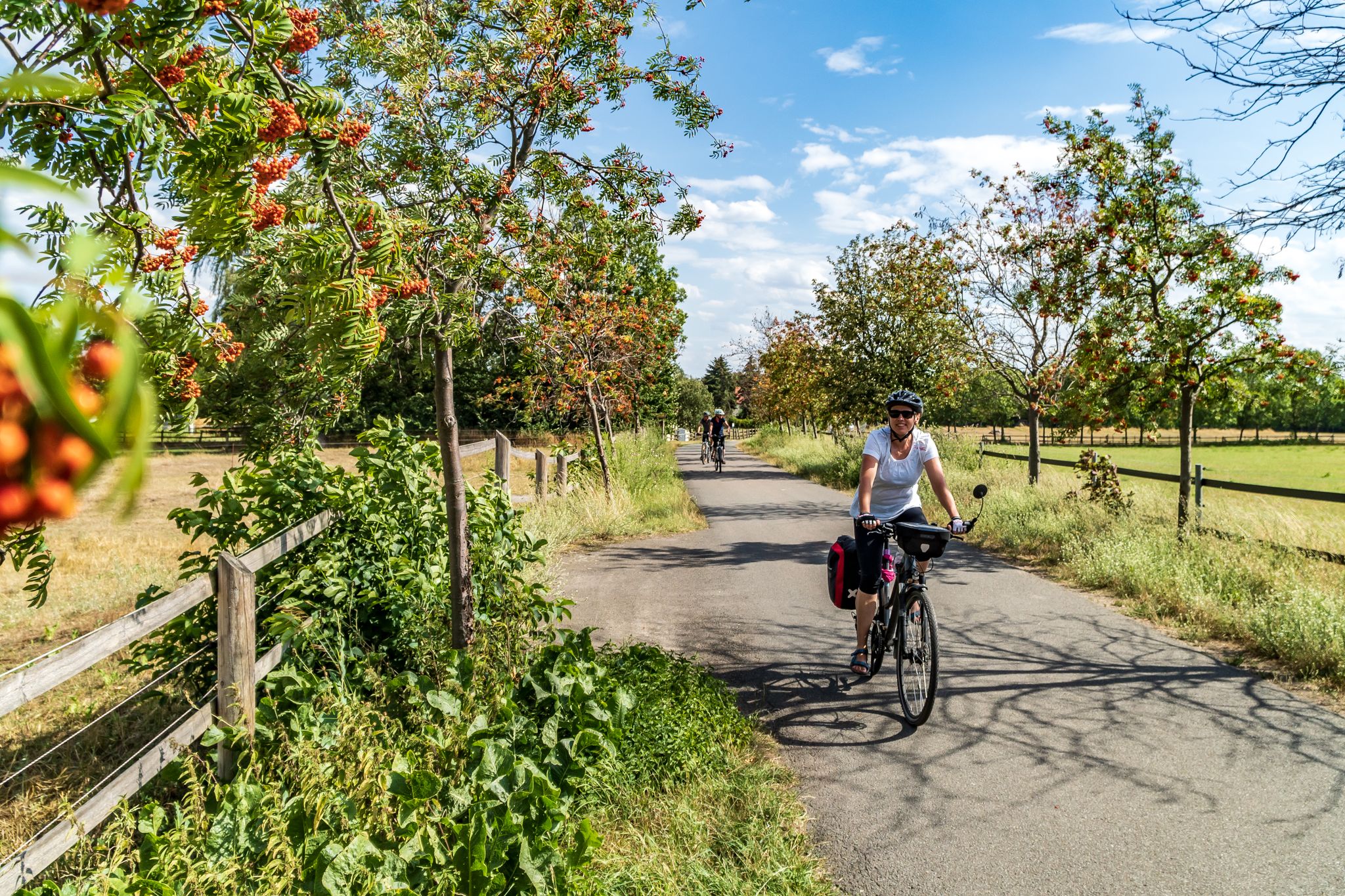
Cycling into the countryside – urban escapism around Leipzig
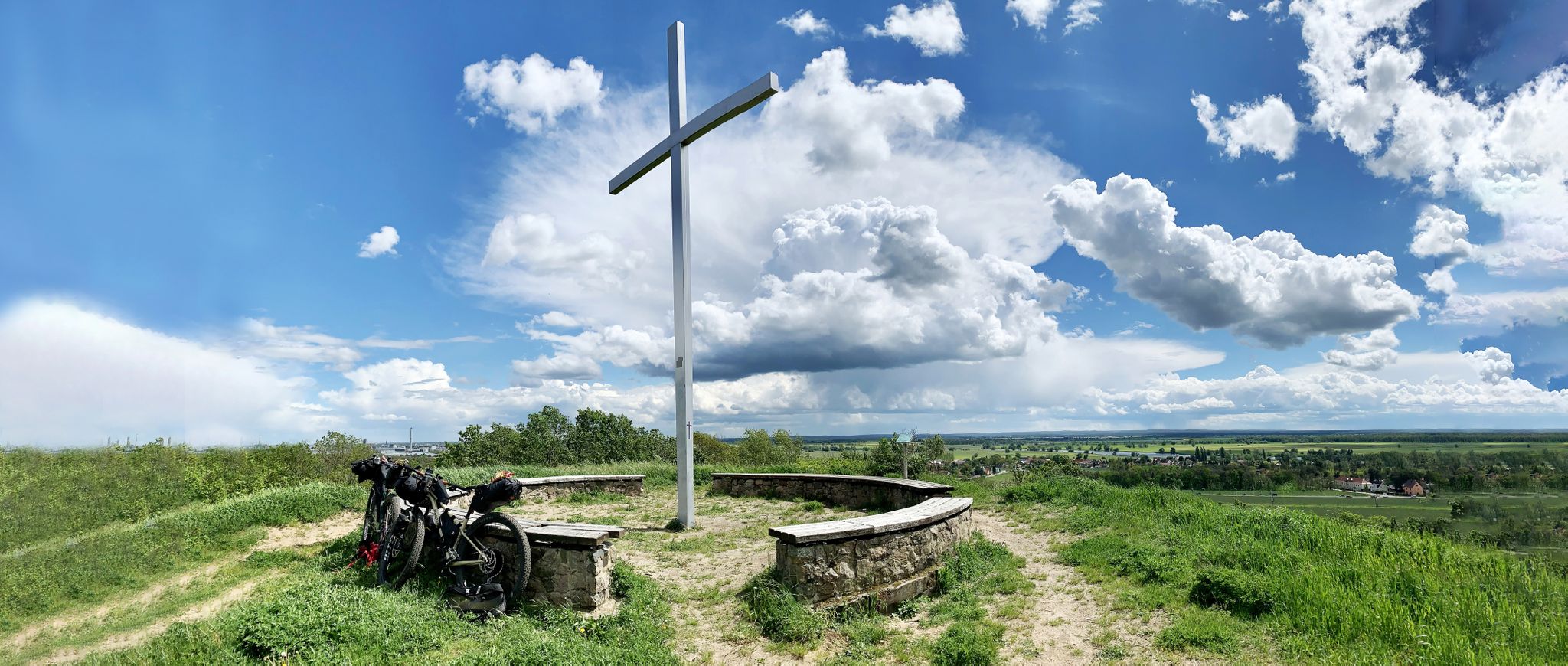
Romanticism on the Elbe River — cycling around the MDV north network
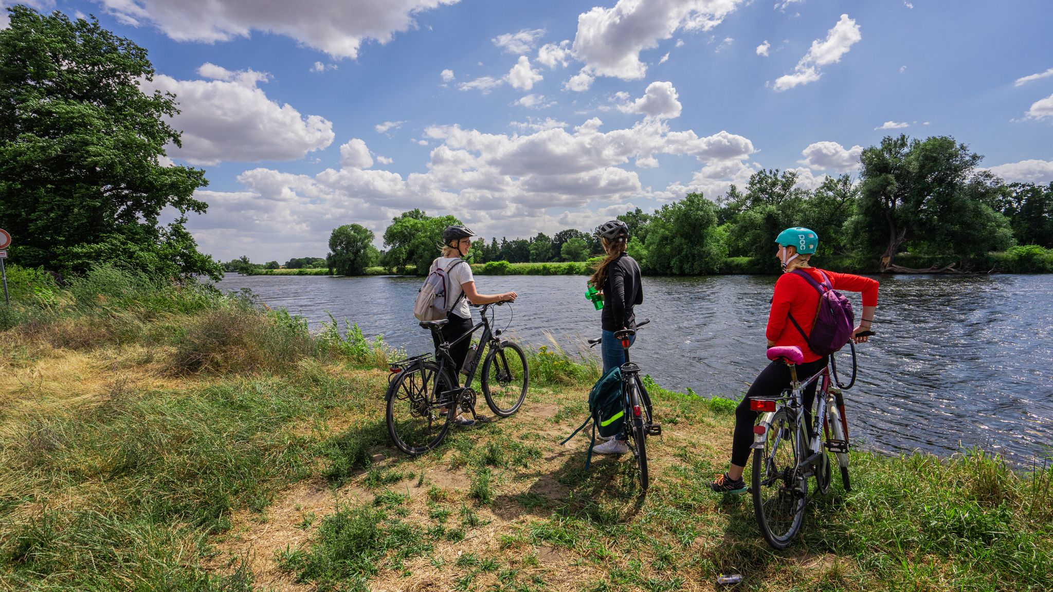
The Mulde Cycling Path
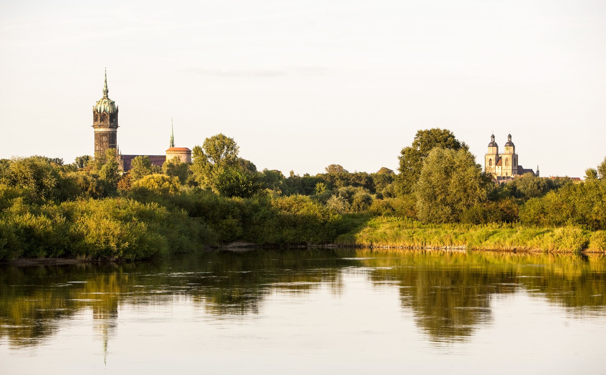
Holiday in Germany – Discover Saxony-Anhalt by bike
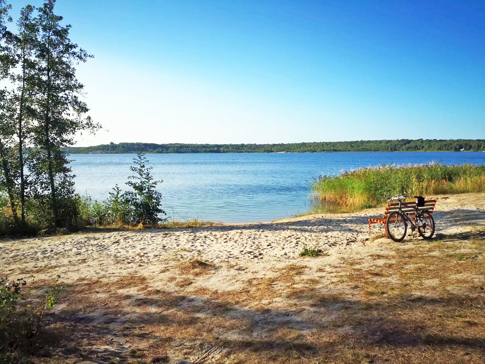
Ancient forests & pretty lakes – Cycling adventures around Leipzig
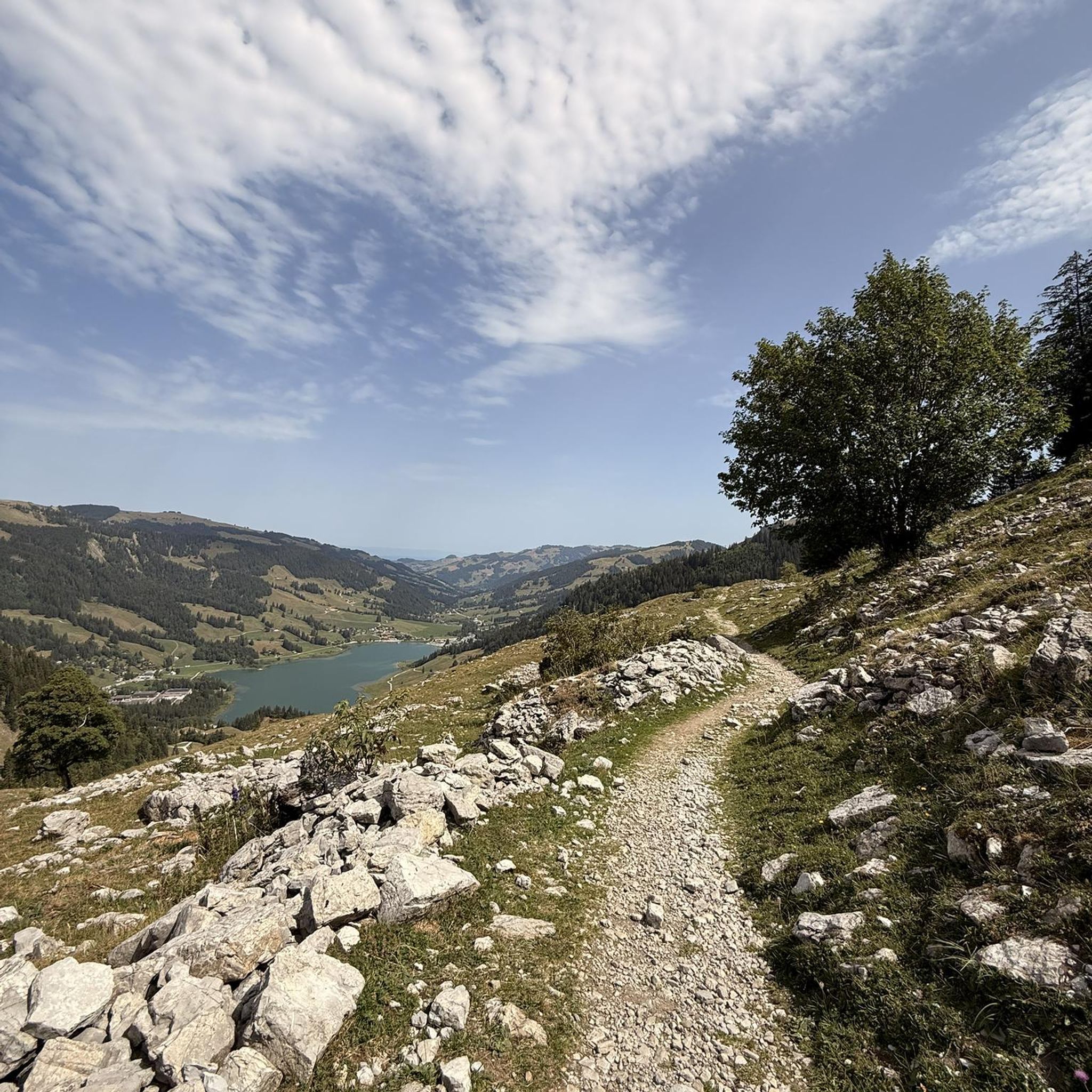
Traffic-free bike rides around Bitterfeld-Wolfen
Other adventures around Bitterfeld-Wolfen


Tips from the Community


You can ride your MTB nicely around the Muldestausee. Via Pouch, Friedersdorf —alte Poststrasse —Schlaitz
1
0

Caution, the paths in the area are already very damaged
0
0
The barrier structure near Friedersdorf is a 19 m high and 303 m long gravity dam with a construction volume of 40,000 m³. On February 17, 2023, a hydropower plant was commissioned, which is expected to generate 13.6 GWh of electrical energy per year. The construction cost 25 million euros and began in October 2016.[1] Source https://de.wikipedia.org/wiki/Muldestausee
2
0
The normal water level is around 79 m above sea level with a storage volume of approx. 115 million m³. The role of the Muldestausee as a flood retention basin is insignificant. However, the basin can temporarily retain 3 million m³ during floods (difference between total storage and usable storage). In fact, it is not a reservoir in the true sense, but rather a river dam. Since the flow velocity of the Mulde slows down considerably upon entering the lake, the Muldestausee acts as a sedimentation trap, into which approx. 400,000 t of solids (gravel, sand, silt) are deposited annually. These solids are missing from the river upon exiting the outlet structure, leading to a greater deepening of the riverbed of the lower Mulde and having ecological consequences. Source https://de.wikipedia.org/wiki/Muldestausee
2
0
After the excavation of coal from the Muldenstein open-cast mine (1954–1975), the relocation of the Mulde river over a distance of approximately eleven kilometers was necessary to expand the Goitzsche open-cast mine (today's Großer Goitzschesee). Part of the new river course was laid through the excavated Muldenstein open-cast mine. Flooding took place from April 30, 1975, to March 1, 1976. The Muldestausee lake has an inlet and an outlet structure. Source https://de.wikipedia.org/wiki/Muldestausee
2
0
The Muldestausee is an flooded open-cast mine in the district of Anhalt-Bitterfeld/Sachsen-Anhalt. Its bordering towns are Friedersdorf, Schlaitz, Pouch and Mühlbeck. With a surface area of 6.3 km², it is the third largest body of water in the state of Saxony-Anhalt. Its length is approx. 9 km, its widest point is 2 km, and its greatest depth is 35 m Source https://de.wikipedia.org/wiki/Muldestausee
2
0
Frequently Asked Questions
How many no-traffic touring cycling routes are available around Bitterfeld-Wolfen?
There are over 175 dedicated no-traffic touring cycling routes around Bitterfeld-Wolfen, ranging from easy to more challenging. The majority, 117, are classified as easy, making the region highly accessible for various skill levels.
What are the main car-free cycling areas in Bitterfeld-Wolfen?
The primary car-free cycling area is the Goitzsche Lake Region, featuring a well-developed network of trails, including a popular 36 km route around the Great Goitzsche Lake. Sections of the Mulde Cycle Path also offer peaceful, traffic-free cycling experiences through diverse natural settings.
What is the typical terrain and elevation like on these no-traffic routes?
The terrain around Bitterfeld-Wolfen, particularly the Goitzsche Lake area, is generally flat to gently rolling, making it ideal for touring cyclists seeking minimal elevation changes. Routes like the Great Goitzsche Lake – Großer Goitzschesee Gauge Tower loop from Bitterfeld feature very modest elevation gains, ensuring a relaxed ride.
Are there family-friendly no-traffic cycling routes suitable for all ages?
Yes, many routes are perfect for families. The paths around the Goitzsche Lake are particularly suitable due to their flat terrain and scenic views. An excellent option is the Großer Goitzschesee Gauge Tower – View of Neuhauser Lake loop from Bitterfeld, which is classified as easy and offers a pleasant ride for all ages.
Can I bring my dog on these no-traffic touring cycling routes?
Generally, dogs are welcome on leashes on most cycling paths in the Bitterfeld-Wolfen region, especially in natural areas like the Goitzsche Lake. However, always be mindful of local regulations, especially around beaches or protected wildlife areas. Ensure your dog is comfortable with cycling speeds and other path users.
Are there any circular no-traffic touring cycling routes?
Yes, circular routes are a highlight of the region. The most prominent is the loop around the Great Goitzsche Lake. For example, the Great Goitzsche Lake – Großer Goitzschesee Gauge Tower loop from Bitterfeld offers a complete circuit with beautiful lake views and minimal traffic.
What scenic viewpoints or landmarks can I see along these car-free routes?
Along the car-free routes, especially around Goitzsche Lake, you can discover several points of interest. Don't miss the Bitterfeld City Harbor for a vibrant stop, or the Great Goitzsche Lake itself. The Bitterfelder Bogen, a striking architectural sculpture, offers panoramic views of the transformed landscape. You might also encounter the Blue Bench Memorial along the Goitzsche Shore.
Where can I park my car when accessing these traffic-free cycling routes?
Ample parking is available at various access points around the Goitzsche Lake, particularly near the Bitterfeld City Harbor and other recreational facilities. These spots often provide direct access to the car-free cycling network.
Is it possible to reach these no-traffic routes using public transport with my bike?
Bitterfeld-Wolfen has public transport options, and some services may allow bike carriage, especially regional trains. It's advisable to check the specific public transport provider's rules and schedules regarding bicycle transport before planning your trip, as capacity can be limited, particularly during peak times.
What is the best time of year to enjoy no-traffic touring cycling in Bitterfeld-Wolfen?
The best time to enjoy no-traffic touring cycling in Bitterfeld-Wolfen is from spring through autumn (April to October). During these months, the weather is generally pleasant, the landscapes are lush, and facilities around the lakes are fully operational. The region's commitment to environmental quality ensures excellent air and water conditions for outdoor activities.
What do other touring cyclists enjoy the most about touring cycling in Bitterfeld-Wolfen?
The komoot community highly rates the touring cycling experience in Bitterfeld-Wolfen, with an average score of 4.43 stars. Reviewers often praise the region's successful transformation from an industrial area into a beautiful lake landscape, highlighting the extensive network of well-maintained, traffic-free paths and the serene natural environment.
Are there any easy, beginner-friendly no-traffic bike tours?
Absolutely. The region is well-suited for beginners, with many easy routes. The Great Goitzsche Lake – Großer Goitzschesee Gauge Tower loop from Bitterfeld is an excellent example, offering a relatively flat and scenic ride without significant challenges, perfect for those new to touring cycling.
Most popular routes around Bitterfeld-Wolfen
Most popular attractions around Bitterfeld-Wolfen

Get inspired with the komoot mobile app


Explore more
Browse the best Cycling routes in other regions.
