The best hikes from bus stations around Lutzerath
4.5
(4746)
15,500
hikers
31
hikes
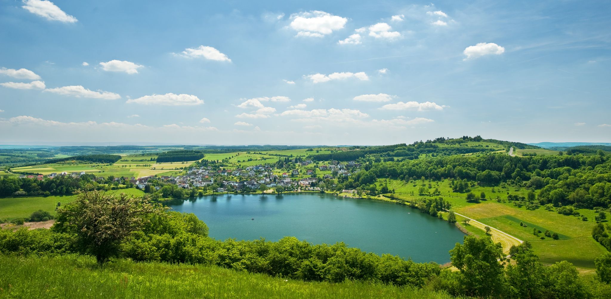
Hiking around Lutzerath offers diverse bus station hiking trails through the unique volcanic landscape of the Vulkaneifel region. The area is characterized by rolling hills, ancient maars, and secluded valleys like the Weiherbach and Erdenbach. Lush forests are abundant, and elevated points provide panoramic views across the Eifel, extending towards the Moselle valley. The terrain features varied geological formations, providing routes through woodlands and over hills.
Best bus station hiking trails around Lutzerath
- The most popular bus station hiking route…
Last updated: May 15, 2026
4.6
(25)
80
hikers
14.0km
03:48
200m
200m
Moderate hike. Good fitness required. Mostly accessible paths. Sure-footedness required.
4.6
(15)
54
hikers
13.7km
03:55
300m
300m
Moderate hike. Good fitness required. Easily-accessible paths. Suitable for all skill levels.

Sign up for free
4.9
(9)
26
hikers
17.7km
05:02
370m
370m
Hard hike. Very good fitness required. Mostly accessible paths. Sure-footedness required.
4.8
(9)
31
hikers
29.5km
08:36
680m
680m
Hard hike. Very good fitness required. Sure-footedness, sturdy shoes and alpine experience required.
4.5
(6)
22
hikers
11.1km
03:10
260m
260m
Moderate hike. Good fitness required. Easily-accessible paths. Suitable for all skill levels.
Get access to more routes and recommendations from other explorers.
Sign up for free
Already have an account?
Our route recommendations are based on thousands of hikes, rides, and runs completed by other people on komoot.
Start today with a free account
Your next adventure awaits.
Login or Signup


Tips from the Community

There are great climbing sections along the way...
0
0

A pleasant riverside walk, a gently flowing river, wonderful contemplation and enjoyment of the beautiful surroundings. Suitable for anyone with a basic level of fitness.
0
0

The walk to the waterfall is really a bit strenuous, but you are rewarded for it. This was really the highlight of the hike
2
0


The wooden beams and planks are gone. Now there's a walkable grating. The last few meters to the waterfall are adventurous, but secured with a rope. The waterfall is impressive 😍
3
0

We have seen many waterfalls on our tours and we were very positively surprised that there is such a great waterfall here in the Eifel and the path there is really great... rustic, steep, impressive... sturdy shoes are definitely recommended here... what great highlights do we have here in this region. Simply great!!!
5
0

A beautiful stream valley. Grassy paths, bushes, trees, plants, insects and birdsong. It is mostly shady and therefore pleasant to walk on even on sunny days.
0
0

Great path along the little river, an absolute dream!
0
0
Frequently Asked Questions
How many hiking trails are accessible from bus stations around Lutzerath?
There are over 30 hiking trails around Lutzerath that are easily accessible from local bus stations. These routes offer a variety of experiences, from leisurely strolls to more challenging treks through the Vulkaneifel's unique landscape.
What kind of terrain can I expect on bus-accessible hikes near Lutzerath?
The trails around Lutzerath traverse the diverse volcanic landscape of the Vulkaneifel. You can expect rolling hills, secluded valleys like the Weiherbach and Erdenbach, and lush forests. Many routes offer panoramic views across the Eifel, towards the Moselle valley, and even the Hunsrück. The geological history ensures varied and interesting terrain.
Are there any easy or family-friendly hikes from Lutzerath bus stations?
Yes, Lutzerath offers 12 easy routes suitable for families or those seeking a less strenuous walk. These trails often wind through gentle valleys and forests, providing a pleasant outdoor experience. While specific family-friendly routes aren't detailed here, many easy options are available.
Can I find challenging hikes accessible by bus near Lutzerath?
Absolutely. For experienced hikers, there are 4 difficult routes available from bus stations. An example is the Uessbach Riverside Trail – Path Along the Ueßbach loop from Lutzerath, which covers nearly 30 km with significant elevation changes, offering a demanding and rewarding experience.
Are there any circular hiking routes from Lutzerath bus stations?
Many of the trails accessible from Lutzerath bus stations are circular routes, allowing you to start and end your hike at the same point without needing to retrace your steps. The Wild Kiste Farm Shop – TraumTal Forest Island loop from Lutzerath is a moderate 13.7 km circular option.
What natural features or attractions can I see on these hikes?
The region is rich in natural beauty. You can explore ancient maars (volcanic lakes), secluded valleys, and enjoy expansive vistas from elevated points. For a specific highlight, consider the Klidinger Waterfall – Trail to the Eifel Waterfall loop from Lutzerath, which takes you to a beautiful Eifel waterfall.
What do other hikers say about the trails around Lutzerath?
The hiking community highly rates the trails around Lutzerath, with an average score of 4.6 stars from over 4,300 reviews. Hikers often praise the well-maintained paths, the stunning panoramic views of the Vulkaneifel, and the peaceful atmosphere of the forests and valleys.
Are there any specific viewpoints or scenic spots along bus-accessible trails?
Yes, the Vulkaneifel region is known for its scenic viewpoints. The HeimatSpur Zwei-Täler-Weg – GesundLand Vulkaneifel, for instance, offers wonderful panoramic views of the unique Vulkaneifel landscape. Additionally, nearby attractions like the View of Reichsburg Cochem and the town of Cochem or the View of the Moselle Loop from Calmont Summit Cross are accessible from the wider region.
What is the best season for hiking near Lutzerath bus stations?
Lutzerath offers great hiking opportunities throughout the year. Spring brings blooming wildflowers, summer provides lush green landscapes, and autumn transforms the forests with vibrant colors. Even winter can be beautiful for hiking, especially on clear days, though some paths might be slippery or require appropriate gear.
Are there any historical or cultural points of interest near the bus-accessible trails?
While the focus is on natural landscapes, the region also has historical significance. The nearby town of Cochem features the impressive Cochem Imperial Castle and a charming Cochem Old Town, which can be combined with a hike for a richer experience. The Ant Hill Experience Station – Town Hall Old School loop from Lutzerath offers a blend of nature and local points of interest.
Are permits required for hiking in the Lutzerath area?
No, generally, no special permits are required for hiking on the public trails around Lutzerath. The trails are freely accessible for all to enjoy the natural beauty of the Vulkaneifel.
Most popular routes around Lutzerath
Most popular attractions around Lutzerath

Get inspired with the komoot mobile app


Explore more
Browse the best Hikes in other regions.
