The best hikes from bus stations around Unterbreizbach
4.6
(4534)
15,613
hikers
31
hikes
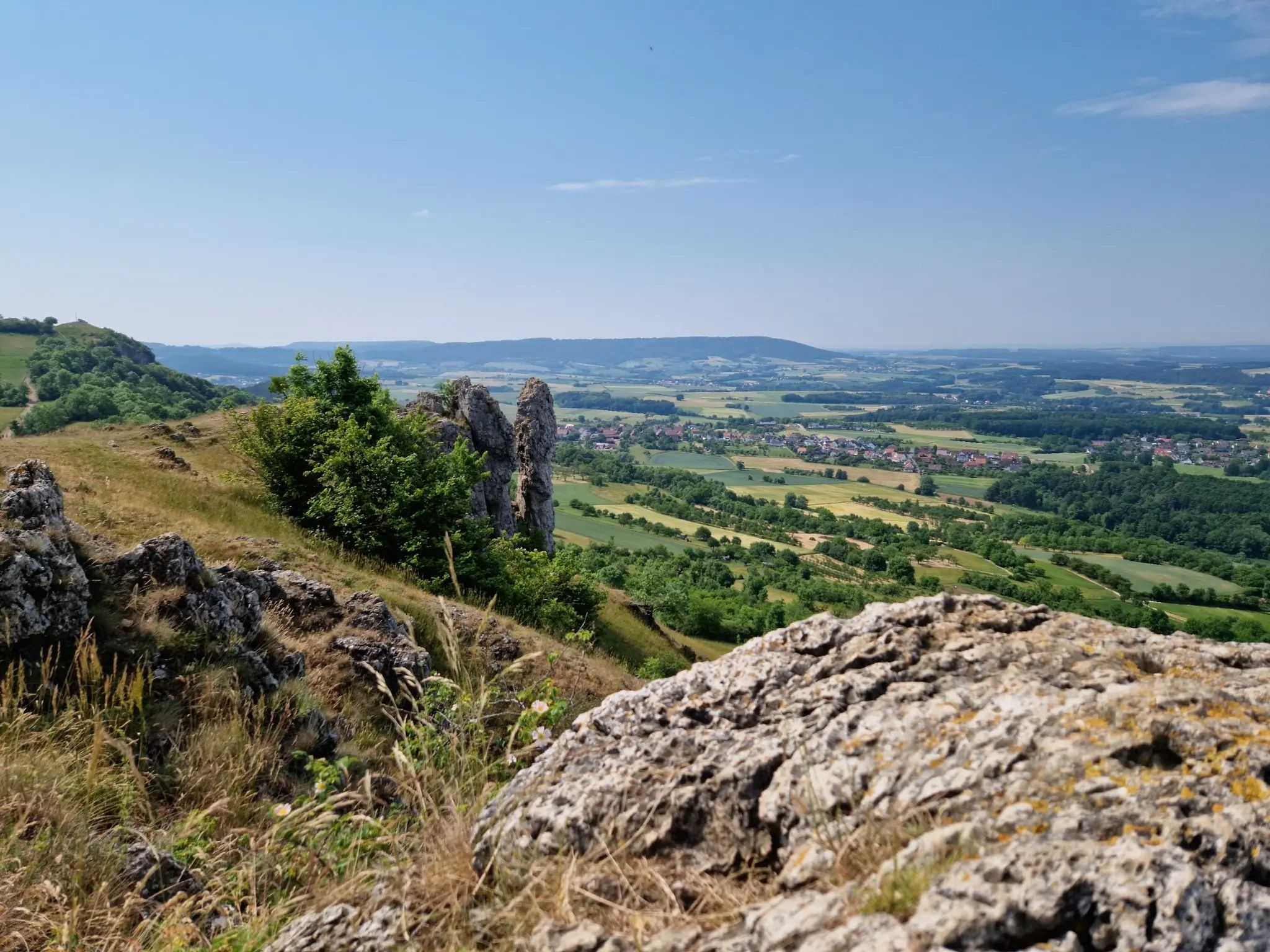
Bus station hiking trails around Unterbreizbach are set within the Rhön region of Thuringia, Germany, characterized by rolling hills and verdant forests. The landscape features distinctive volcanic basalt peaks, including the Ulsterberg, Dietrichsberg, and Oechsenberg. The Werra River also flows through the area, offering additional recreational opportunities along its banks.
Best bus station hiking trails around Unterbreizbach
- The most popular bus station hiking route is Paulinenquelle – Öchsenberg Weather Station loop from Sünna, a 4.9 miles (8.0 km) trail…
Last updated: May 15, 2026
5.0
(39)
104
hikers
7.95km
02:26
290m
290m
Moderate hike. Good fitness required. Easily-accessible paths. Suitable for all skill levels.
5.0
(4)
15
hikers
10.2km
03:09
380m
380m
Moderate hike. Good fitness required. Easily-accessible paths. Suitable for all skill levels.

Sign up for free
4.7
(6)
19
hikers
Easy hike. Great for any fitness level. Easily-accessible paths. Suitable for all skill levels.
4.5
(4)
12
hikers
7.02km
02:00
170m
170m
Moderate hike. Good fitness required. Easily-accessible paths. Suitable for all skill levels.
4.8
(4)
10
hikers
6.17km
01:39
70m
70m
Easy hike. Great for any fitness level. Easily-accessible paths. Suitable for all skill levels.
Get access to more routes and recommendations from other explorers.
Sign up for free
Already have an account?
Our route recommendations are based on thousands of hikes, rides, and runs completed by other people on komoot.
Start today with a free account
Your next adventure awaits.
Login or Signup


Other adventures around Unterbreizbach


Tips from the Community

Stairs to the summit and cross, very nice hike
0
0

What fun, says Claudi. The thing is 😎🤘
8
0
We were lucky that we got an individual guidance and instruction with the javelin, Thomas Thank you that was 😎👌
5
0
A 😎🤘 rest and party place👌Röhnclub very 😎🤘
7
0
Beautiful country, beautiful view, you can't get enough of it.🫠
8
0

The many information boards provide great insights into the history and geology of the Öchsenberg.
0
0
The small covered rest area invites you to take a short break at the Pauline Spring. In pre-Christian times, this spring was located much higher up the mountain and supplied the Celtic settlement with water.
0
0
The weather station is at least as reliable as the forecasts of the German Weather Service in Offenbach ;-)
0
0
Frequently Asked Questions
How many bus station hiking trails are available around Unterbreizbach?
There are over 30 hiking routes accessible directly from bus stations around Unterbreizbach, offering a variety of experiences for all skill levels. These include 13 easy and 19 moderate trails.
What kind of landscapes can I expect on bus-accessible hikes in the Unterbreizbach region?
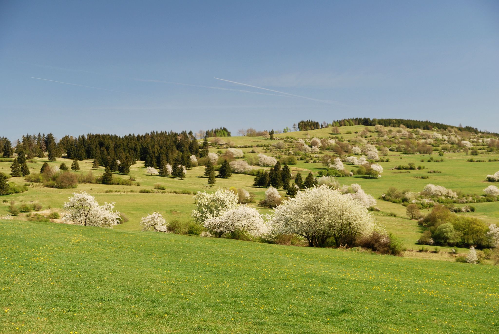
The region, nestled in the Rhön mountains, features diverse landscapes including rolling hills, extensive forests, and distinctive volcanic basalt peaks like the Ulsterberg and Oechsenberg. Many trails also follow the Werra River, offering scenic riverside views. You'll find unspoiled natural beauty, especially vibrant with wildflowers in spring.
Are there any easy, family-friendly hikes accessible by bus from Unterbreizbach?
Yes, there are several easy routes perfect for families. An example is the Ulster Bridge Near Rest Area – Playground in Pferdsdorf loop from Pferdsdorf, which is just over 3 km long and has minimal elevation gain, making it suitable for all ages.
Can I find circular hiking routes that start and end at a bus station?
Many of the bus-accessible routes around Unterbreizbach are circular, allowing you to return to your starting point without needing additional transport. For instance, the Paulinenquelle – Öchsenberg Weather Station loop from Sünna is a moderate 7.9 km circular hike.
What historical or natural landmarks can I see on bus-accessible trails?
You can explore significant historical and natural sites. The region is known for its Celtic history, with trails traversing ancient fortifications. The Öchsenberg Summit and Celtic Cross offers panoramic views and insights into Celtic heritage. You can also visit the Point Alpha Memorial, a significant site along the former inner-German border, or enjoy the unique wooden boardwalk in the Rohrlache von Heringen nature reserve.
Are bus-accessible hiking trails in Unterbreizbach suitable for dogs?
Generally, the hiking trails in the Unterbreizbach region are dog-friendly. However, it's always recommended to keep dogs on a leash, especially in nature reserves or near livestock, and to check local regulations for specific areas. Public transport rules for dogs may also apply.
What is the best time of year to go hiking from bus stations in Unterbreizbach?
The Rhön region is beautiful year-round. Spring is particularly stunning when wildflowers are in bloom, and the weather is mild. Summer offers lush green landscapes, while autumn brings vibrant foliage. Even winter can be charming for hiking, though some trails might be more challenging due to snow or ice.
What do other hikers enjoy most about the bus-accessible trails in Unterbreizbach?
The area is highly rated by the komoot community, with an average score of 4.6 stars from over 4,400 ratings. Reviewers often praise the diverse landscapes, the well-maintained trails, and the opportunity to explore both natural beauty and historical sites like the Celtic fortifications and the Green Belt.
Are there any longer, more challenging bus-accessible hikes for experienced hikers?
Yes, there are several moderate routes that offer a greater challenge. For example, the Sünna Celtic Village – Öchsenberg Weather Station loop from Deicheroda is a 10.2 km route with significant elevation gain, traversing the northernmost basalt peaks of the Thuringian Rhön.
Can I find trails that follow the former inner-German border, accessible by bus?
Yes, the region offers unique trails along the former inner-German border, known as the "Green Belt." The Playground in Pferdsdorf – Grenzturm Winterliete loop from Pferdsdorf is a moderate 7 km route that provides panoramic views and follows sections of this historic path.
Are there any trails along the Werra River that I can reach by bus?
Yes, the Werra River flows through the area, and some bus-accessible trails offer opportunities to hike along its banks. For instance, the Old Ulstertal Railway Tracks – Winfried Pond loop from Pferdsdorf is a moderate 9.2 km route that includes sections near the river, providing pleasant waterside views.
Most popular routes around Unterbreizbach
Most popular attractions around Unterbreizbach

Get inspired with the komoot mobile app


Explore more
Browse the best Hikes in other regions.
