The best walks and hikes around Lübtheen
4.6
(1056)
3,258
hikers
14
hikes
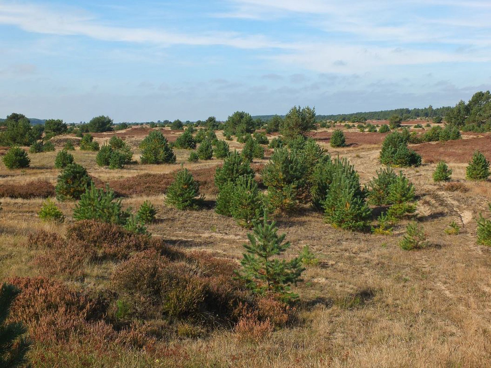
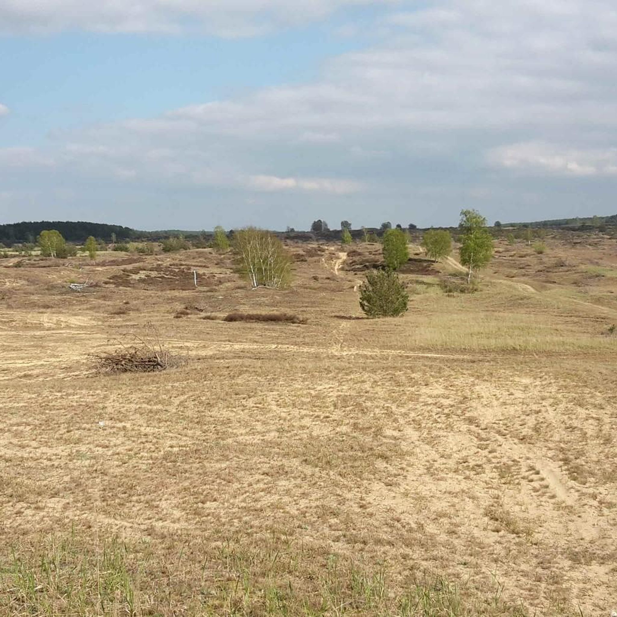
Hiking around Lübtheen is situated within the UNESCO Elbe River Landscape Biosphere Reserve, characterized by a blend of diverse ecosystems. The region features the Lübtheener Heide National Natural Heritage Site, known for its extensive heathlands, inland dunes, and pine forests. Additionally, the area incorporates river and floodplain ecosystems from the Elbe River, creating varied landscapes for outdoor exploration. This environment offers varied terrains and picturesque views for hikers.
Best hiking trails around Lübtheen
- The most popular hiking route is Heiderundweg from Probst Jesar, a 6.6 miles (10.6 km) trail that takes 3 hours 11 minutes to complete, leading through expansive heathlands and pine forests.
- Another top favourite among local hikers is Lumi Ice Cream Vending Machine – Quaster Meadow loop from Probst Jesar, a moderate 11.2 miles (18.0 km) path. This route explores varied terrain including meadows and forest sections.
- Local hikers also love the Lumi Ice Cream Vending Machine loop from Lübtheen, a 4.2 miles (6.8 km) trail leading through local natural surroundings, often completed in about 1 hour 44 minutes.
- Hiking around Lübtheen is defined by expansive heathlands, remarkable inland dunes, and the ecological richness of the Elbe River floodplains. The network offers options for easy walks and more challenging routes through varied terrain.
- The routes in Lübtheen are highly rated by the komoot community with an average score of 4.7 stars from over 800 reviews. More than 2800 hikers have used komoot to explore Lübtheen's varied terrain.
Last updated: October 11, 2026
4.7
(16)
50
hikers
10.6km
03:12
20m
20m
Moderate hike. Good fitness required. Easily-accessible paths. Suitable for all skill levels.
4.6
(11)
31
hikers
13.0km
03:19
40m
40m
Moderate hike. Good fitness required. Easily-accessible paths. Suitable for all skill levels.

4.7
(9)
15
hikers
23.5km
05:57
60m
60m
Hard hike. Very good fitness required. Easily-accessible paths. Suitable for all skill levels.
4.3
(3)
11
hikers
Easy hike. Great for any fitness level. Easily-accessible paths. Suitable for all skill levels.
4.5
(4)
11
hikers
10.1km
02:34
20m
20m
Moderate hike. Good fitness required. Easily-accessible paths. Suitable for all skill levels.
Get access to more routes and recommendations from other explorers.
Already have an account?
Our route recommendations are based on thousands of hikes, rides, and runs completed by other people on komoot.
Start today with a free account
Your next adventure awaits.

Other adventures around Lübtheen

Tips from the Community

here is another village with a pretty core: The church here is nicely laid out, not particularly large with a few memorial stones in the surroundings.
0
0
Quite a nice place here. There is the church and the monument for the fallen soldiers here.
0
0

The Lübthen Heath is the largest contiguous heathland in Mecklenburg-Western Pomerania and has been part of the UNESCO Elbe River Landscape Biosphere Reserve since 2015. 📜 Formerly a military training area, the area is now a unique natural heritage site with a rare active inland dune. 🦉 Many rare animals such as the Boreal Owl, Nightjar, and Red-backed Shrike have found a protected habitat here. 🛡️ Large parts of the heath are core and conservation zones where nature is allowed to develop freely. 🌄 Along the way, open sandy areas alternate with heather and sparse pine forests. 🏚️ Relics such as the remains of bunkers and traces of the former village of Quast recall the region's turbulent past. ⚠️ It is important not to leave the marked trails, as explosive ordnance may still be found in the ground off the trail. 📍 Red-headed posts and information boards at the starting points of the routes provide orientation.
0
0
The Lübthen Heath is the largest contiguous heathland in Mecklenburg-Western Pomerania and has been part of the UNESCO Elbe River Landscape Biosphere Reserve since 2015. 📜 Formerly a military training area, the area is now a unique natural heritage site with a rare active inland dune. 🦉 Many rare animals such as the Boreal Owl, Nightjar, and Red-backed Shrike have found a protected habitat here. 🛡️ Large parts of the heath are core and conservation zones where nature is allowed to develop freely. 🌄 Along the way, open sandy areas alternate with heather and sparse pine forests. 🏚️ Relics such as the remains of bunkers and traces of the former village of Quast recall the region's turbulent past. ⚠️ It is important not to leave the marked trails, as explosive ordnance may still be found in the ground off the trail. 📍 Red-headed posts and information boards at the starting points of the routes provide orientation.
0
0

The inland dune, which is also wandering, is one of the largest of its kind in Germany. In addition to the dune itself, you can also enjoy the wonderful panorama of the heath from the hill.
0
0

Always stay on the paths, then nothing can happen
0
0

Definitely worth checking out. Very nice spot to pause and enjoy, this dune in the middle of the forest.
2
0

Again and again you will find relics in this area from the time when active military training took place here. Among other things, a number of buildings that were built specifically for this purpose served as targets.
2
0
Frequently Asked Questions
What kind of landscape can I expect when hiking around Lübtheen?
Lübtheen is situated within the UNESCO Biosphere Reserve Elbe River Landscape, offering a diverse environment. You'll encounter the expansive Lübtheener Heide, known for its impressive inland dunes and vast heathlands, especially beautiful when the heather blooms in late summer. The area also features pine forests and is influenced by the Elbe River's wetlands and floodplains, creating a unique mix of dry and wet biotopes.
How many hiking trails are available in the Lübtheen area?
There are over 14 hiking trails around Lübtheen, catering to various preferences. These routes explore the region's unique blend of heathlands, inland dunes, and forests, providing ample opportunities for outdoor exploration.
Are there any circular hiking routes in Lübtheen?
Yes, Lübtheen offers several circular hiking routes. For example, the Lumi Ice Cream Vending Machine loop from Lübtheen is an easy 6.8 km trail. Another option is the Lumi Ice Cream Vending Machine – Quaster Meadow loop from Probst Jesar, which is a moderate 13 km path exploring meadows and forest sections.
What is the best time of year to go hiking in Lübtheen?
Late summer is particularly recommended for hiking in Lübtheen, as this is when the extensive heathlands, especially in the Lübtheener Heide, bloom in full splendor. However, the varied forests and river landscapes offer pleasant hiking conditions throughout spring, summer, and autumn.
What are the difficulty levels of the hiking trails near Lübtheen?
The hiking trails around Lübtheen offer a range of difficulty levels. You'll find 4 easy routes, 9 moderate routes, and 1 difficult route, ensuring options for hikers of all experience levels. The terrain generally features gentle elevation changes, making many paths accessible.
Are the hiking trails in Lübtheen suitable for families with children?
Yes, many trails in Lübtheen are suitable for families. The easy routes, such as the Lumi Ice Cream Vending Machine loop from Lübtheen, are generally well-suited for walks with children. The diverse natural features like inland dunes and heathlands also provide interesting sights for younger explorers.
Can I bring my dog on the hiking trails in Lübtheen?
Lübtheen's natural areas are generally dog-friendly. However, as the region is part of the UNESCO Biosphere Reserve Elbe River Landscape and includes protected areas like the Lübtheener Heide, it's important to keep dogs on a leash to protect local wildlife and ensure their safety, especially given the area's past as a military training ground.
Where can I find parking for hiking trails in Lübtheen?
While specific parking locations are not detailed for every route, Lübtheen and nearby villages like Probst Jesar typically offer designated parking areas for visitors. It's advisable to check local signage upon arrival or consult detailed route descriptions on komoot for specific starting points with parking facilities.
What natural features or landmarks can I see while hiking in Lübtheen?
While hiking in Lübtheen, you can explore impressive inland dunes, vast heathlands, and diverse forests. The area is also part of the Elbe River Landscape Biosphere Reserve, meaning you might encounter river and floodplain ecosystems. Keep an eye out for local wildlife such as beavers, sea eagles, and cranes. You can also find shelters like the Shelter at the Darchau Ferry Dock or the Shelter at the Observation Tower.
Are there any special considerations or safety warnings for hiking in the Lübtheener Heide?
Yes, due to its history as a military training ground, it is crucial to strictly adhere to marked paths in the Lübtheener Heide. There is a potential presence of unexploded ordnance. Staying on designated trails ensures your safety and helps protect the sensitive natural environment.
What do other hikers say about the trails in Lübtheen?
The hiking trails in Lübtheen are highly rated by the komoot community, with an average score of 4.7 stars from over 800 reviews. Hikers often praise the tranquility of the heathlands, the unique landscape of the inland dunes, and the well-marked paths that make exploring the diverse terrain enjoyable.
Are there any places to eat or stay near the hiking trails?
Lübtheen and its surrounding villages offer options for refreshments and accommodation. While specific cafes or pubs directly on the trails are rare, you can find local establishments in the towns themselves. For places to stay, consider checking local guesthouses or hotels in Lübtheen for a convenient base for your hiking adventures.
Most popular routes around Lübtheen
Most popular attractions around Lübtheen

Get inspired with the komoot mobile app


Explore more
Browse the best Hikes in other regions.
