The best traffic-free bike rides around Höheinöd
4.5
(2813)
13,045
riders
206
rides
No traffic touring cycling routes around Höheinöd are set within the Southwest Palatinate, at the edge of the Palatinate Forest. The region features a diverse landscape of rolling hills, dense forests, and picturesque stream valleys. This topography provides a dynamic backdrop for cycling, with routes ranging from gentle slopes to more demanding climbs. The area is characterized by impressive red sandstone formations and offers panoramic views from elevated areas like the Sickinger Höhe.
Best no traffic touring cycling routes around Höheinöd
- The most popular no traffic touring cycling route is Imsbacher Mühle Forest Trail – Trail Along the Schwarzbach loop from Waldfischbach, a 28.3 miles (45.5 km) trail that takes 3 hours 2 minutes to complete. This difficult route winds through dense forests and along the Schwarzbach valley.
- Another top favourite among local touring cyclists is Weiher Mill – Keltendusche Waterfall loop from Waldparkplatz, a moderate 20.0 miles (32.3 km) path. This route leads through varied forest landscapes and past natural water features.
- Local touring cyclists also love the Trail Along the Schwarzbach – Charcoal Kilns loop from Waldfischbach, a 14.8 miles (23.8 km) trail leading through the Schwarzbach valley, often completed in about 1 hour 57 minutes.
- Touring cycling around Höheinöd is defined by rolling hills, dense forests, and picturesque stream valleys. The network offers options for different ability levels, from leisurely rides to more challenging ascents.
- The routes in Höheinöd are highly rated by the komoot community with an average score of 4.6 stars from over 2600 reviews. More than 12000 touring cyclists have used komoot to explore Höheinöd's varied terrain.
Last updated: June 27, 2026
4.5
(75)
383
riders
Moderate bike ride. Good fitness required. Mostly paved surfaces. Suitable for all skill levels.
4.9
(7)
55
riders
45.9km
03:08
610m
610m
Hard bike ride. Very good fitness required. Mostly paved surfaces. Suitable for all skill levels.

Sign up for free
4.5
(4)
52
riders
Hard bike ride. Good fitness required. You may need to push your bike for some segments of this route.
4.5
(2)
48
riders
23.8km
01:58
220m
220m
Moderate bike ride. Good fitness required. Mostly paved surfaces. Suitable for all skill levels.
4.3
(4)
39
riders
20.7km
01:55
340m
340m
Moderate bike ride. Good fitness required. Mostly paved surfaces. Suitable for all skill levels.
Get access to more routes and recommendations from other explorers.
Sign up for free
Already have an account?
Our route recommendations are based on thousands of hikes, rides, and runs completed by other people on komoot.
Start today with a free account
Your next adventure awaits.
Login or Signup
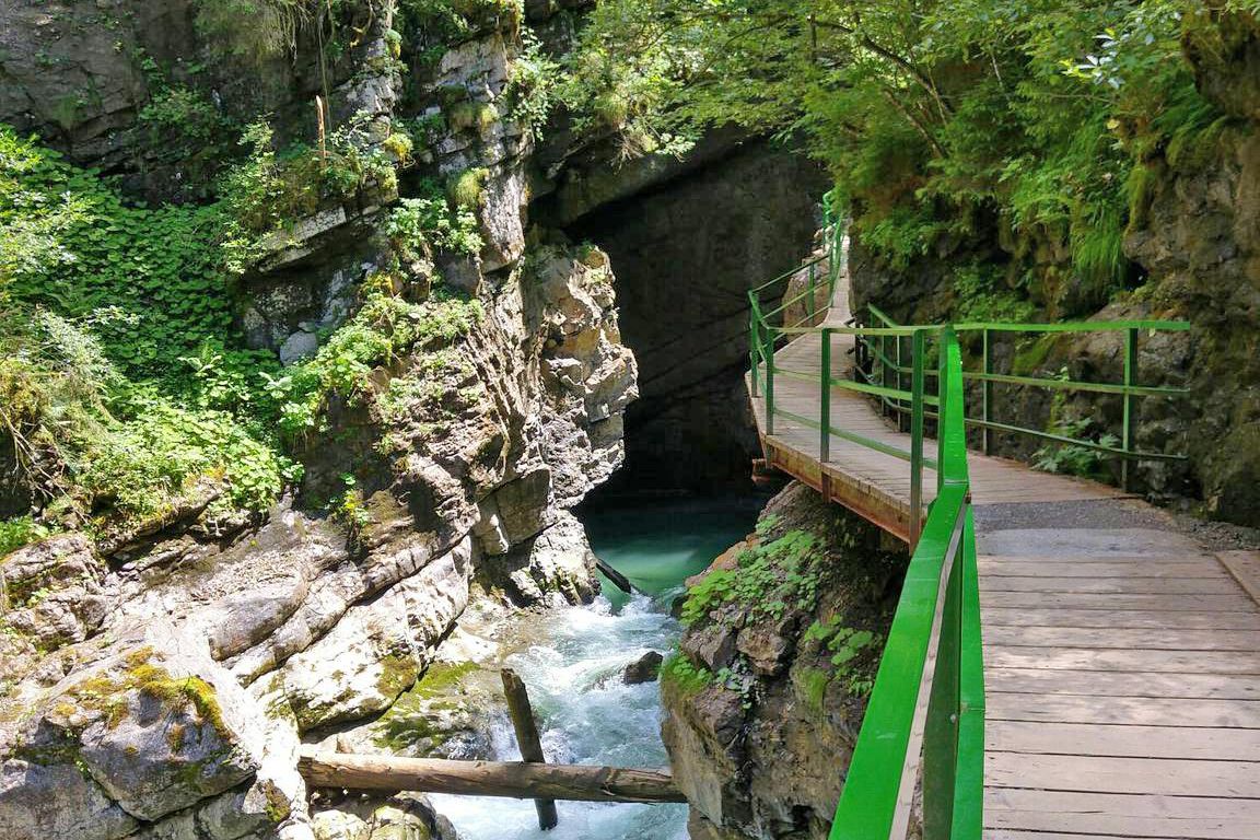
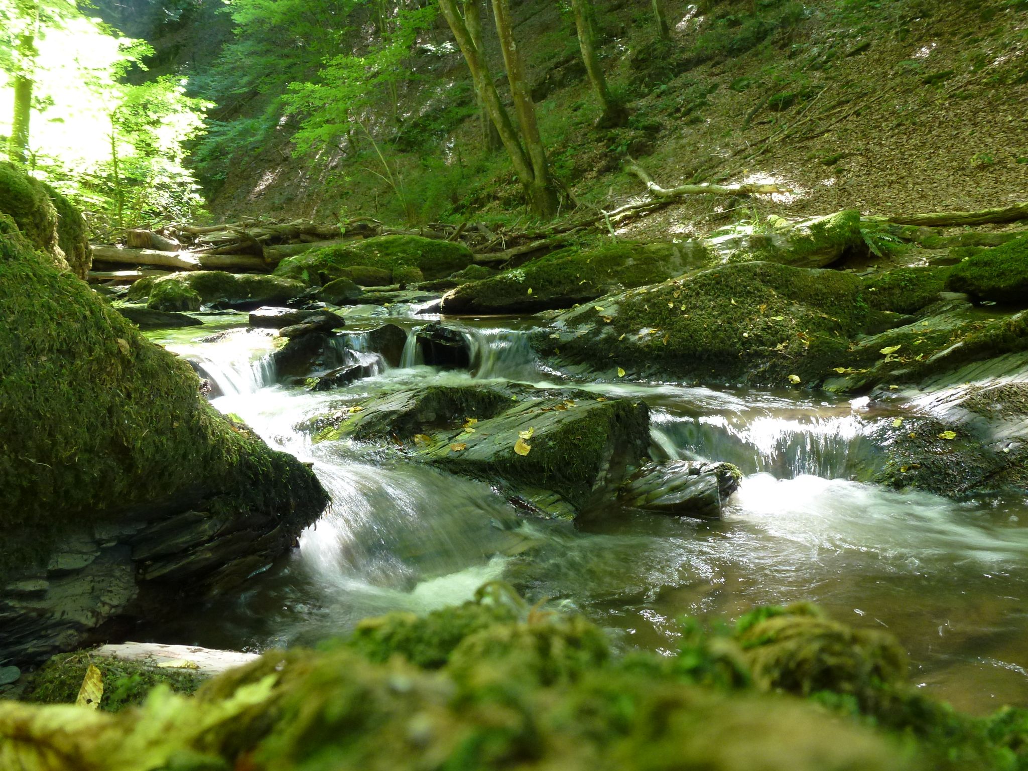
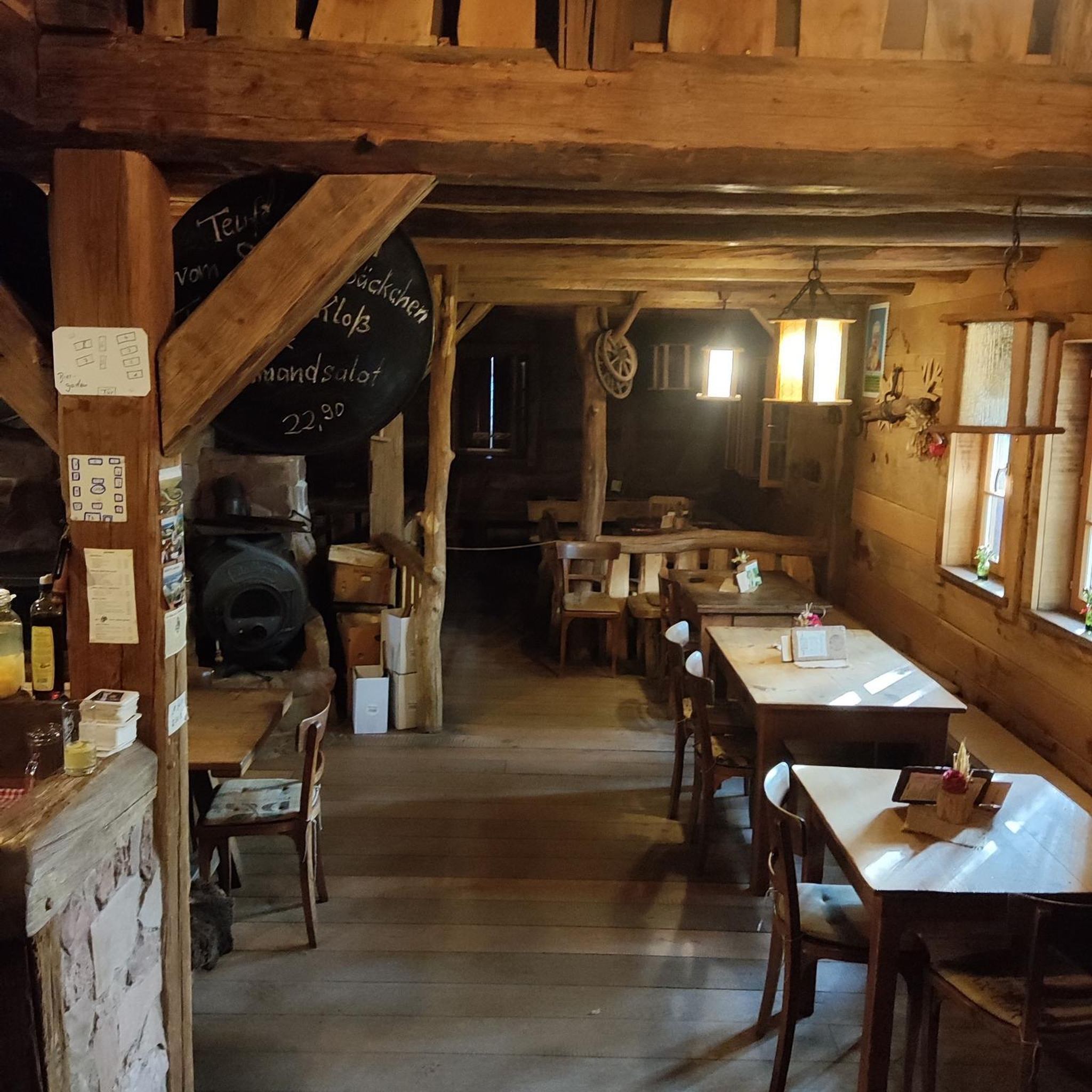

Tips from the Community

The Pferdebrünnchen is located directly at the barbecue hut on the Klapperbachtalweg and invites you to linger ...
0
0

Normal ice cream parlor with good ice cream. Unfortunately on the main road, but OK for an ice cream.
1
0
The mascot of Waldfischbach.
2
0

The fountain is called Pferdebrunnen (Horse Fountain), not Pfordsheimbrunnen (Pfordsheim Fountain). A beautifully framed spring near the Hermersberger Wasserhaus restaurant.
0
0

A great place to stop for a bite to eat, with light and light meals. The outdoor seating is lovely. The food was delicious.
0
0

A somewhat spooky but also interesting area, the former US ammunition depot.
0
0

A beautiful, quiet riverside cycle path through the Schwarzbach Valley. A few charming villages and a few places to stop for refreshments.
3
0
It runs comfortably along the Schwarzbach stream in the valley.
3
0
Frequently Asked Questions
How many no-traffic touring cycling routes are available around Höheinöd?
Höheinöd offers a vast network of over 200 touring cycling routes that prioritize a traffic-free experience. These routes cater to various skill levels, with a significant number being moderate or difficult, ensuring a diverse range of options for cyclists seeking tranquility.
What is the best time of year to enjoy traffic-free touring cycling in Höheinöd?
The ideal seasons for touring cycling in Höheinöd are spring and summer, when the weather is mild and the landscape is in full bloom. Autumn also provides a beautiful experience with colorful foliage. These seasons generally offer pleasant conditions for exploring the region's quiet paths.
Are there any family-friendly no-traffic touring cycling routes in Höheinöd?
Yes, Höheinöd and its surroundings offer several family-friendly options. Routes along the Lautertal Valley, for instance, are known for their well-maintained paths and picturesque scenery, often providing a gentler cycling experience suitable for families. Look for routes categorized as 'easy' in the guide for the most suitable options.
Can I bring my dog on the no-traffic touring cycling routes?
Many of the no-traffic routes in Höheinöd, particularly those through forests and along stream valleys, are suitable for cycling with dogs. It's always recommended to keep your dog on a leash, especially in nature reserves, and ensure they have access to water. The region's natural features like the Schwarzbach valley offer plenty of opportunities for a refreshing stop.
Are there any circular no-traffic touring cycling routes available?
Yes, the region around Höheinöd features numerous circular routes designed for touring cyclists. For example, the Imsbacher Mühle Forest Trail – Trail Along the Schwarzbach loop from Waldfischbach offers a challenging circular experience. Many local community-created routes are also designed as loops, allowing you to start and end at the same point.
What kind of natural landmarks or viewpoints can I expect on these routes?
The no-traffic routes in Höheinöd often lead through the stunning Pfälzerwald-Nordvogesen Biosphere Reserve, offering views of impressive red sandstone formations. You might encounter unique geological features like the Upper Bear Cave or the Rock arch on the Felsenwald Premium Trail. The Sickinger Höhe also provides magnificent panoramic views across the landscape.
Are there any waterfalls or water features along the no-traffic touring cycling routes?
Yes, the region is rich in water features. You can find routes that pass by picturesque stream valleys and even waterfalls. For example, the Weiher Mill – Keltendusche Waterfall loop from Waldparkplatz specifically highlights a waterfall. Other notable spots include the Rest Area at the Small Waterfall in Hexenklamm and the Waterfall itself.
Where can I find parking for these no-traffic touring cycling routes?
Many routes in the Höheinöd area, especially those starting from villages or popular trailheads like Waldfischbach, offer designated parking areas. It's advisable to check the starting point of your chosen route for specific parking information, as many local routes are designed with accessibility in mind.
What do other touring cyclists enjoy most about the no-traffic routes in Höheinöd?
The komoot community highly rates the touring cycling experience in Höheinöd, with an average score of 4.55 stars. Reviewers often praise the tranquility of the routes, the diverse natural beauty of the Palatinate Forest, and the well-maintained paths that allow for a peaceful and immersive cycling adventure away from traffic.
Are there any cafes or restaurants near the no-traffic touring cycling routes for a break?
While specific cafes and restaurants directly on every route are not listed, the routes often pass through or near charming towns and villages in the Southwest Palatinate. These locations typically offer opportunities for refreshments and meals. Planning your route with potential stops in mind will ensure you find suitable amenities.
What kind of terrain can I expect on the no-traffic touring cycling routes?
The terrain around Höheinöd is varied, ranging from gentle slopes to more demanding climbs. You'll find routes along well-developed cycle paths, forest roads, and agricultural roads, much of which is asphalted. Expect a mix of dense forests, rolling hills, and picturesque stream valleys, providing a dynamic and engaging cycling experience.
How long are the no-traffic touring cycling routes around Höheinöd?
The routes vary significantly in length. For example, the Trail Along the Schwarzbach – Charcoal Kilns loop from Waldfischbach is approximately 23.7 km, while the Imsbacher Mühle Forest Trail – Trail Along the Schwarzbach loop from Waldfischbach extends to about 45.5 km. You can find routes suitable for a short outing or a full-day adventure, depending on your preference.
Most popular attractions around Höheinöd

Get inspired with the komoot mobile app


Explore more
Browse the best Cycling routes in other regions.
