The best traffic-free bike rides around Laubenheim
4.7
(39)
174
riders
45
rides
Gravel biking around Laubenheim offers a diverse landscape for exploration, situated between the Rhine River and the Rheinhessen plateau. The region features the expansive Laubenheimer Ried nature reserve with floodplain habitats and wetlands, contrasting with the steep ascent to the Laubenheimer Höhe, a hill reaching 196 meters. Vineyards on the slopes leading to the Rheinhessen plateau provide additional scenic routes, creating a varied terrain of paved and unpaved paths suitable for no traffic gravel bike trails.
Best no traffic gravel bike trails around Laubenheim
- The most popular no traffic gravel bike trail is View of the Niederwalddenkmal – Rhine-Nahe-Eck loop from Ockenheim, a difficult 35.8 miles (57.6 km) trail that takes 3 hours 26 minutes to complete, offering extensive views across the Rhine and Nahe regions.
- Another top favourite among local gravel bikers is Rhine-Nahe view loop from Rüdesheim (Rhein), a difficult 27.3 miles (43.9 km) path. This route provides panoramic vistas of the river valleys and surrounding hills, traversing varied terrain.
- Local gravel bikers also love the Niederwald monument – Rossel Ruins loop from Assmannshausen, a 4.1 miles (6.6 km) easy trail leading through forested areas and past historical landmarks, often completed in about 32 minutes.
- Gravel biking around Laubenheim is defined by the Rhine River, extensive vineyards, and the varied terrain of the Rheinhessen plateau and Laubenheimer Ried wetlands. The network offers options for different ability levels, from easy loops to more challenging ascents.
- The routes in Laubenheim are highly rated by the komoot community with an average score of 4.7 stars from more than 30 reviews. More than 150 gravel bikers have used komoot to explore Laubenheim's varied terrain.
Last updated: June 27, 2026
5.0
(3)
21
riders
Hard gravel ride. Very good fitness required. Mostly paved surfaces. Suitable for all skill levels.
4.7
(3)
19
riders
57.6km
03:26
670m
670m
Hard gravel ride. Very good fitness required. Mostly paved surfaces. Suitable for all skill levels.

Sign up for free
4.0
(1)
6
riders
25.9km
01:59
480m
490m
Hard gravel ride. Very good fitness required. Mostly paved surfaces. Suitable for all skill levels.
5.0
(1)
6
riders
43.8km
03:06
880m
880m
Hard gravel ride. Very good fitness required. Mostly paved surfaces. Suitable for all skill levels.
4.0
(1)
3
riders
6.55km
00:32
90m
90m
Easy gravel ride. Great for any fitness level. Mostly paved surfaces. Suitable for all skill levels.
Get access to more routes and recommendations from other explorers.
Sign up for free
Already have an account?
Our route recommendations are based on thousands of hikes, rides, and runs completed by other people on komoot.
Start today with a free account
Your next adventure awaits.
Login or Signup
Popular around Laubenheim
Tips from the Community

In addition to the beautiful view, you can also enjoy a delicious ice cream from the ice cream parlor on the corner.
2
0

Beautiful view, stunning landscape
0
0

When you drive through the vineyards you always have a great view of the Rhine Valley.
1
1


Rotenfels: Alpine feeling on the bike path! Watch out, a giant is in sight! Shortly after Bad Münster am Stein-Ebernburg, you pass the Rotenfels massif, the highest cliff face in Germany north of the Alps. We're talking about over 200 meters of pure rock, rising vertically above the Nahe River. This isn't a hill anymore; it's a geological shocker! The entire mass consists of reddish porphyry rock, which glows fiery red, especially in the evening (or in good light). Truly spectacular. From the bike path, you can see the full force of it. You suddenly feel very small, which can be quite relaxing after 50 kilometers in the saddle. Fun fact: Up on the Rotenfels is a climbing area – only for pros! I prefer to stay on my 25mm tire asphalt and enjoy the view from below. No need to climb too high; the panorama from here is already unbeatable! My tip: Stop and enjoy the moment. Take a photo with this rock colossus as proof.
1
0
👑 Rheingrafenstein Castle Ruins – The Rock Boss on the Cycle Path Tip: Stop here! The Rheingrafenstein ruins sit dramatically perched on a 136-meter-high porphyry cliff above the Nahe River – one of the most impressive sights of the entire tour. The castle was the ancestral seat of the famous Wildgraves and Rhinegraves (until it was blown up in 1689). The view from the cycle path is phenomenal! If you really want to go up (and have enough energy), you can take the small hand-pulled ferry across and take the steep hiking trail to the ruins. It's worth it for the view over the Nahe Valley, but honestly: My legs were already tired enough from cycling. The panoramic view from below is worth its weight in gold! A must-have for your photo collection!
1
0
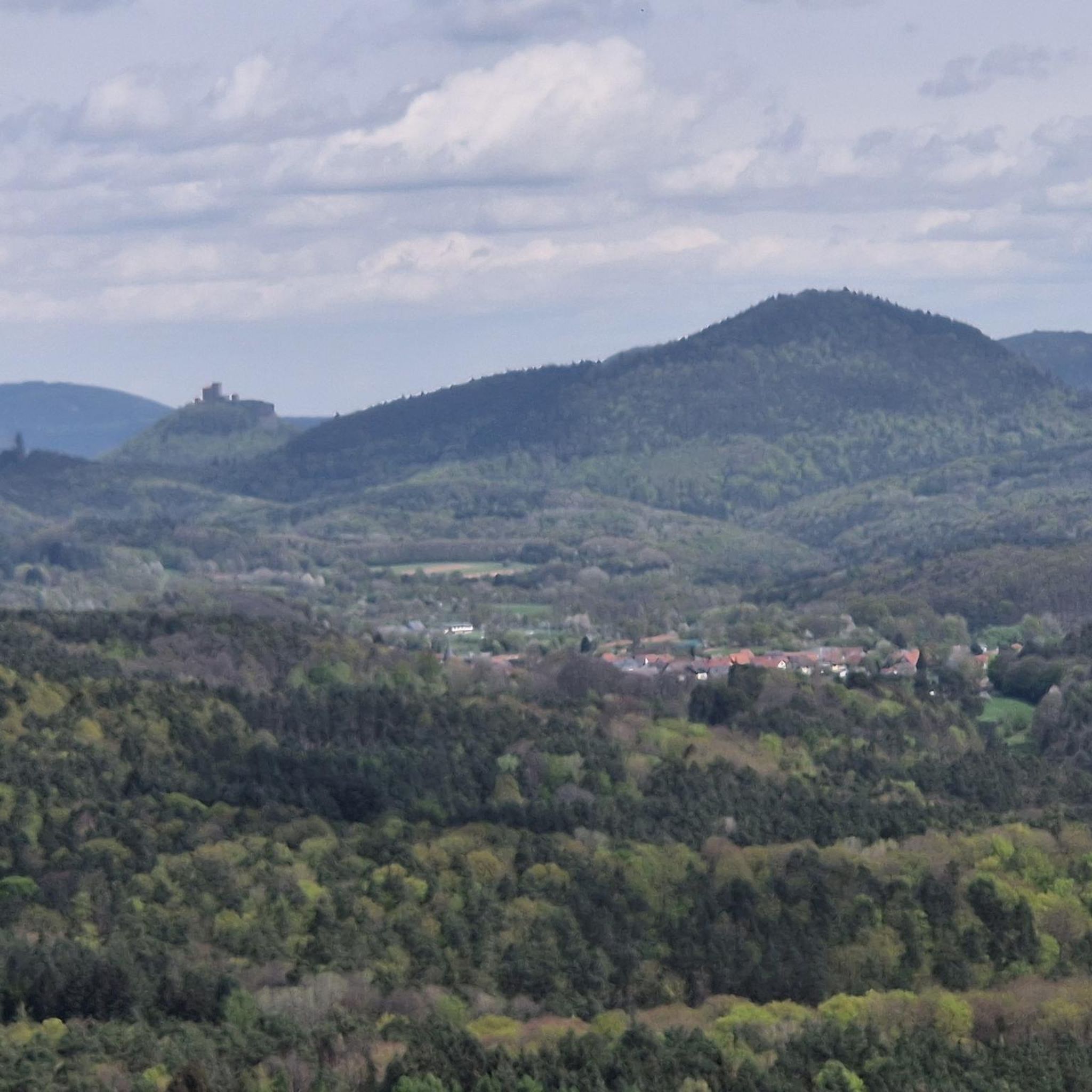
There's a beautiful view of both rivers from here. An impressive view.
1
1
Frequently Asked Questions
How many traffic-free gravel bike trails are available around Laubenheim?
There are over 45 traffic-free gravel bike trails around Laubenheim, offering a wide range of options for different skill levels. You'll find everything from easy, flat routes to more challenging rides with significant elevation gain.
What kind of terrain can I expect on gravel bike trails near Laubenheim?
Laubenheim's unique geography offers a diverse mix of terrain. You can expect largely flat floodplain habitats and riparian meadows near the Rhine, gentle ascents through picturesque vineyards, and more challenging climbs to the Rheinhessen plateau, such as the Laubenheimer Höhe. Trails often feature a blend of tarmac, gravel paths, and forest roads, perfect for gravel biking.
What are the best times of year for gravel biking in Laubenheim?
Thanks to its mild climate and ample sunshine, Laubenheim is excellent for gravel biking for much of the year. Spring is particularly beautiful, with blooming plants and the chance to see storks in the Laubenheimer Ried. Autumn offers stunning vineyard views. While some routes are suitable for winter, always check local conditions.
Are there any family-friendly or beginner-friendly traffic-free gravel routes?
Yes, the flat landscape of the Laubenheimer Ried and areas along the Rhine offer easier, mostly paved segments suitable for families and beginners. These routes provide a gentle introduction to gravel biking without significant climbs. For example, the Niederwald monument – Rossel Ruins loop from Assmannshausen is an easy option.
What natural features or landmarks can I see along the gravel bike trails?
Many routes offer stunning natural beauty and historical landmarks. You can explore the diverse flora and fauna of the Laubenheimer Ried nature reserve, enjoy panoramic views from the Rheinhessen plateau, or cycle through scenic vineyards. Notable landmarks include the Niederwald monument and the Rossel Ruins, which are accessible from some routes.
Are there any challenging or advanced gravel routes without traffic?
Absolutely. For experienced riders seeking a challenge, routes that ascend to the Rheinhessen plateau, like the Rhine-Nahe view loop from Rüdesheim (Rhein), offer significant elevation gain and longer distances. These routes often combine varied surfaces and provide rewarding views.
Can I find circular gravel bike routes in the Laubenheim area?
Yes, many of the traffic-free gravel bike trails around Laubenheim are designed as loops, allowing you to start and end at the same point. This makes planning your ride convenient. An example is the View of the Niederwalddenkmal – Rhine-Nahe-Eck loop from Ockenheim.
What do other gravel bikers enjoy most about the trails in Laubenheim?
The area is highly rated by the komoot community, with an average score of 4.7 stars from 33 ratings. Reviewers often praise the diverse landscapes, from tranquil wetlands to panoramic vineyard views, and the excellent mix of paved and unpaved paths that make it ideal for gravel biking. The 'no traffic' aspect is frequently highlighted as a major benefit.
Are dogs allowed on the traffic-free gravel bike trails?
Generally, dogs are welcome on most public trails in the Laubenheim area, especially on gravel paths and forest roads. However, it's always best to keep them on a leash, particularly in nature reserves like the Laubenheimer Ried, to protect wildlife. Please be mindful of local regulations and other trail users.
Is there public transport access or parking available near the gravel trails?
Laubenheim is a district of Mainz, offering good public transport connections. You can often reach trailheads by bus or train. For those arriving by car, parking is typically available in or near the villages, though specific parking areas for individual trail access points may vary. Always check local signage for parking restrictions.
Are there any cafes or places to stop for refreshments along the routes?
Given Laubenheim's location within a wine-growing region and its proximity to other towns, you'll find opportunities for refreshments. Many routes pass through or near villages where cafes, bakeries, or traditional 'Straußwirtschaften' (seasonal wine taverns) offer local specialties. It's a good idea to plan your stops in advance, especially on longer routes.
Most popular attractions around Laubenheim

Get inspired with the komoot mobile app


Explore more
Browse the best Gravel rides in other regions.
