The best traffic-free bike rides around Dichtelbach
4.7
(178)
2,658
riders
12
rides
No traffic road cycling routes around Dichtelbach are situated within the Hunsrück region of Rhineland-Palatinate, Germany, characterized by its diverse landscapes. The area features rolling hills, deep valleys, and extensive forested areas, providing a dynamic backdrop for road cycling. The Hunsrück-Nahe bike region offers a hilly profile with a network of low-traffic side roads, ideal for both extended rides and training. This terrain includes challenging climbs and rapid descents, alongside more relaxed options.
Best no traffic road cycling routes around Dichtelbach
- The most popular no traffic road cycling route is Schanzerkopf – Gicht Bridge Gräfenbacher Hütte loop from Ellern (Hunsrück), a 33.1 miles (53.3 km) trail that takes 2 hours 51 minutes to complete, featuring significant elevation gain through the Hunsrück landscape.
- Another top favourite among local road cyclists is Binger Wald to Lauschhütte – Wald-Erbach Scenic Road loop from Daxweiler, a moderate 13.0 miles (21.0 km) path. This route traverses the Bingen Forest, offering scenic views and varied terrain.
- Local road cyclists also love the Argenthal Town Hall – Asphalt Road Parallel to B50 loop from Rheinböllen, a 15.7 miles (25.4 km) trail leading through rural areas with asphalt roads, often completed in about 1 hour 20 minutes.
- Road cycling around Dichtelbach is defined by rolling hills, deep valleys, and extensive forested areas, with a network of low-traffic side roads. The region offers routes suitable for various ability levels, from easy to difficult.
- The routes in Dichtelbach are highly rated by the komoot community with an average score of 4.8 stars from over 170 reviews. More than 2,600 road cyclists have used komoot to explore Dichtelbach's varied terrain.
Last updated: June 27, 2026
4.3
(3)
32
riders
19.6km
01:03
390m
390m
Moderate road ride. Good fitness required. Mostly well-paved surfaces and easy to ride.
5.0
(1)
13
riders
29.2km
01:32
320m
320m
Moderate road ride. Good fitness required. Mostly well-paved surfaces and easy to ride.

Sign up for free
5.0
(1)
8
riders
16.5km
00:50
180m
180m
Easy road ride. Great for any fitness level. Mostly well-paved surfaces and easy to ride.
5
riders
Moderate road ride. Good fitness required. Mostly well-paved surfaces and easy to ride.
5
riders
10.8km
00:33
140m
140m
Easy road ride. Great for any fitness level. Mostly well-paved surfaces and easy to ride.
Get access to more routes and recommendations from other explorers.
Sign up for free
Already have an account?
Our route recommendations are based on thousands of hikes, rides, and runs completed by other people on komoot.
Start today with a free account
Your next adventure awaits.
Login or Signup
Popular around Dichtelbach
Tips from the Community


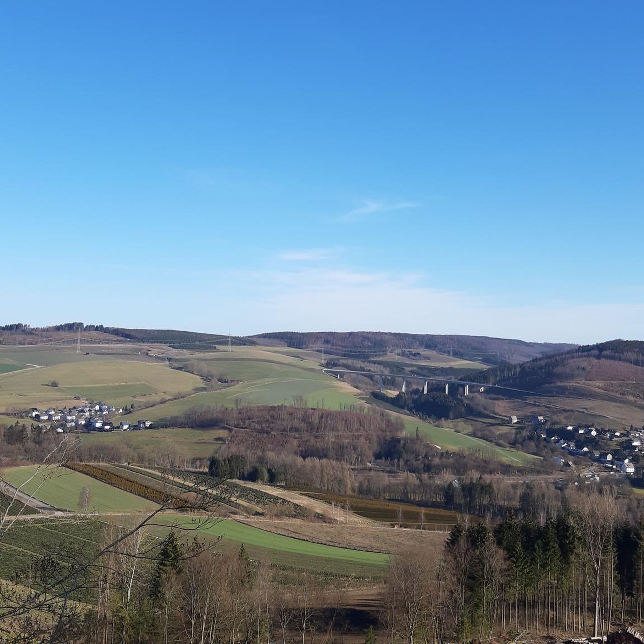
Beautiful path between the fields
0
0

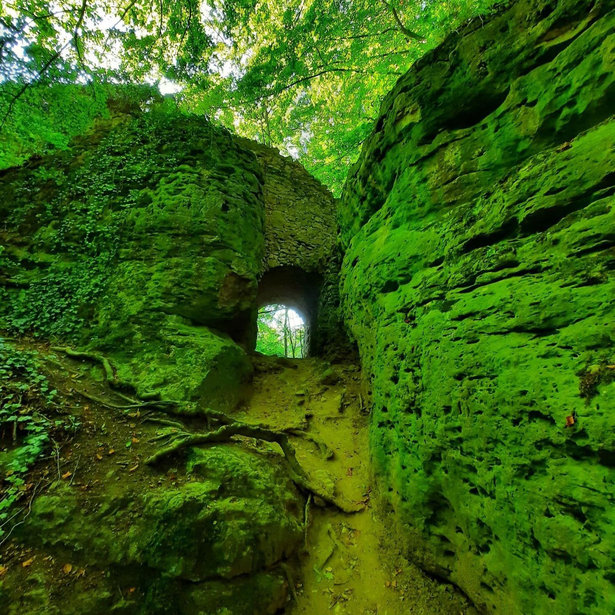
This castle ruin is located directly above Dalberg. Covered rest areas are available right next to the castle.
0
0
A great starting point for hikes towards the Rhine or the Hunsrück region. Free parking (as of January 2026) and plenty of it. Very limited dining options.
0
0
Frequently Asked Questions
How many no-traffic road cycling routes are available around Dichtelbach?
There are over 10 dedicated no-traffic road cycling routes around Dichtelbach, offering a variety of options for different fitness levels. You'll find 6 easy, 6 moderate, and 1 difficult route to explore.
What kind of terrain can I expect on no-traffic road cycling routes in the Dichtelbach area?
The Dichtelbach area, nestled in the Hunsrück region, is characterized by its hilly profile. Expect a dynamic landscape with rolling hills, deep valleys, and extensive forested areas. Routes often feature challenging climbs and exhilarating descents, typical of a low mountain range, but also include flatter sections through river valleys and meadows.
Are there any easy no-traffic road cycling routes suitable for beginners in Dichtelbach?
Yes, Dichtelbach offers several easy no-traffic road cycling routes perfect for beginners or those seeking a more relaxed ride. An example is the Little road – Argenthal Town Hall loop from Rheinböllen, which covers about 16 km with moderate elevation gain.
What are the best times of year for no-traffic road cycling around Dichtelbach?
The Hunsrück-Nahe region, including Dichtelbach, is best enjoyed for road cycling from spring through autumn. The weather is generally mild, and the natural scenery, from blooming meadows to vibrant autumn foliage, is at its most picturesque. Summer offers longer daylight hours, while spring and autumn provide cooler temperatures ideal for more strenuous rides.
Can I find challenging no-traffic road cycling routes near Dichtelbach?
Absolutely. For experienced cyclists looking for a challenge, Dichtelbach and the surrounding Hunsrück region offer routes with significant elevation gains. A demanding option is the Schanzerkopf – Gicht Bridge Gräfenbacher Hütte loop from Ellern (Hunsrück), which spans over 53 km with more than 1000 meters of ascent.
Are there any scenic viewpoints or landmarks along the no-traffic road cycling routes?
Many routes offer stunning views and pass by historical landmarks. The region is rich in castles, such as the impressive Rheinstein Castle and Burg Reichenstein, both offering views over the Rhine Valley. You might also encounter unique natural features like the Kreuzbach Suspension Bridge or the whimsical Steckeschlääferklamm — Tree Spirits Trail.
What do other cyclists say about the no-traffic road cycling routes in Dichtelbach?
The no-traffic road cycling routes around Dichtelbach are highly regarded by the komoot community, with an average rating of 4.76 stars from 173 reviews. Cyclists frequently praise the quiet, well-maintained roads, the challenging yet rewarding climbs, and the beautiful, diverse landscapes of the Hunsrück region.
Are there any circular no-traffic road cycling routes available?
Yes, most of the no-traffic road cycling routes around Dichtelbach are designed as circular loops, allowing you to start and end at the same point. An example of a moderate circular route is the Binger Wald to Lauschhütte – Wald-Erbach Scenic Road loop from Daxweiler, offering a scenic 21 km ride.
Can I find places to eat or rest along the no-traffic road cycling routes near Dichtelbach?
Yes, the region offers several spots for refreshments and rest. You might find forest inns and restaurants, such as the Lauschhütte Restaurant & Outdoor Park, which can be incorporated into your route planning. The Hunsrück-Nahe area also includes vineyards, providing opportunities to sample regional specialties.
Are there any routes that pass through the Bingen Forest or other significant wooded areas?
Dichtelbach is situated near the Bingen Forest, and many routes traverse or offer views of dense wooded areas, reflecting the region's verdant character. The Binger Wald to Lauschhütte – Wald-Erbach Scenic Road loop from Daxweiler is a good example of a route that takes you through this beautiful forest landscape.
What is the typical length of no-traffic road cycling routes in Dichtelbach?
The no-traffic road cycling routes around Dichtelbach vary in length to suit different preferences. You can find shorter routes, such as the Little road – Argenthal Town Hall loop from Rheinböllen at around 16 km, to longer, more challenging tours like the Schanzerkopf – Gicht Bridge Gräfenbacher Hütte loop from Ellern (Hunsrück), which extends over 53 km.
Most popular routes around Dichtelbach
Most popular attractions around Dichtelbach

Get inspired with the komoot mobile app


Explore more
Browse the best Road cycling routes in other regions.
