The best traffic-free bike rides around Görwihl
4.8
(28)
194
riders
20
rides
No traffic touring cycling routes around Görwihl are situated in the southern Black Forest region, within the hilly Hotzenwald terrain. The area is characterized by elevations ranging from 600 to 1000 meters above sea level, featuring extensive forests, green meadows, and deep river valleys. Cyclists can expect varied landscapes, including gorges and streams, providing diverse touring cycling experiences.
Best no traffic touring cycling routes around Görwihl
- The most popular no traffic touring cycling route is Waterfall glacier mill – Monastery…
Last updated: July 11, 2026
5.0
(1)
5
riders
37.5km
02:45
690m
700m
Moderate mountain bike ride. Good fitness required. Advanced riding skills necessary.
4.5
(2)
15
riders
29.4km
02:01
510m
510m
Hard bike ride. Very good fitness required. Mostly paved surfaces. Suitable for all skill levels.

Sign up for free
5.0
(2)
5
riders
22.5km
01:43
380m
380m
Hard bike ride. Good fitness required. You may need to push your bike for some segments of this route.
6
riders
10.8km
00:48
170m
170m
Hard bike ride. Good fitness required. You may need to push your bike for some segments of this route.
4.7
(3)
9
riders
37.3km
02:54
610m
610m
Hard bike ride. Very good fitness required. Mostly paved surfaces. Suitable for all skill levels.
Get access to more routes and recommendations from other explorers.
Sign up for free
Already have an account?
Our route recommendations are based on thousands of hikes, rides, and runs completed by other people on komoot.
Start today with a free account
Your next adventure awaits.
Login or Signup
Popular around Görwihl
Other adventures around Görwihl


Tips from the Community

The small St. Andreas Chapel was probably built between 1620 and 1630, during the plague, and dedicated to St. Jodocus (patron saint against the plague). Nothing more is known about this. In 1727, the chapel was extensively restored and primarily dedicated to St. Andreas.
1
0

From here, there is a wide view over the typical Black Forest landscape with its forests, meadows, and rolling hills. A beautiful viewpoint to stop for a moment and enjoy the tranquility and vastness of the region.
0
0
The Gugelturm is a striking landmark of Laufenburg and part of the historic city fortifications. From here, the history of the old Rhine town can be particularly well understood, while the surroundings invite a short break and a view of the old town.
0
0
The NABU-Spikboden nature reserve protects a valuable natural and moorland landscape in the middle of the Black Forest. Quiet paths, rare plants, and the special atmosphere of the area make this section a beautiful nature experience on the tour.
0
0
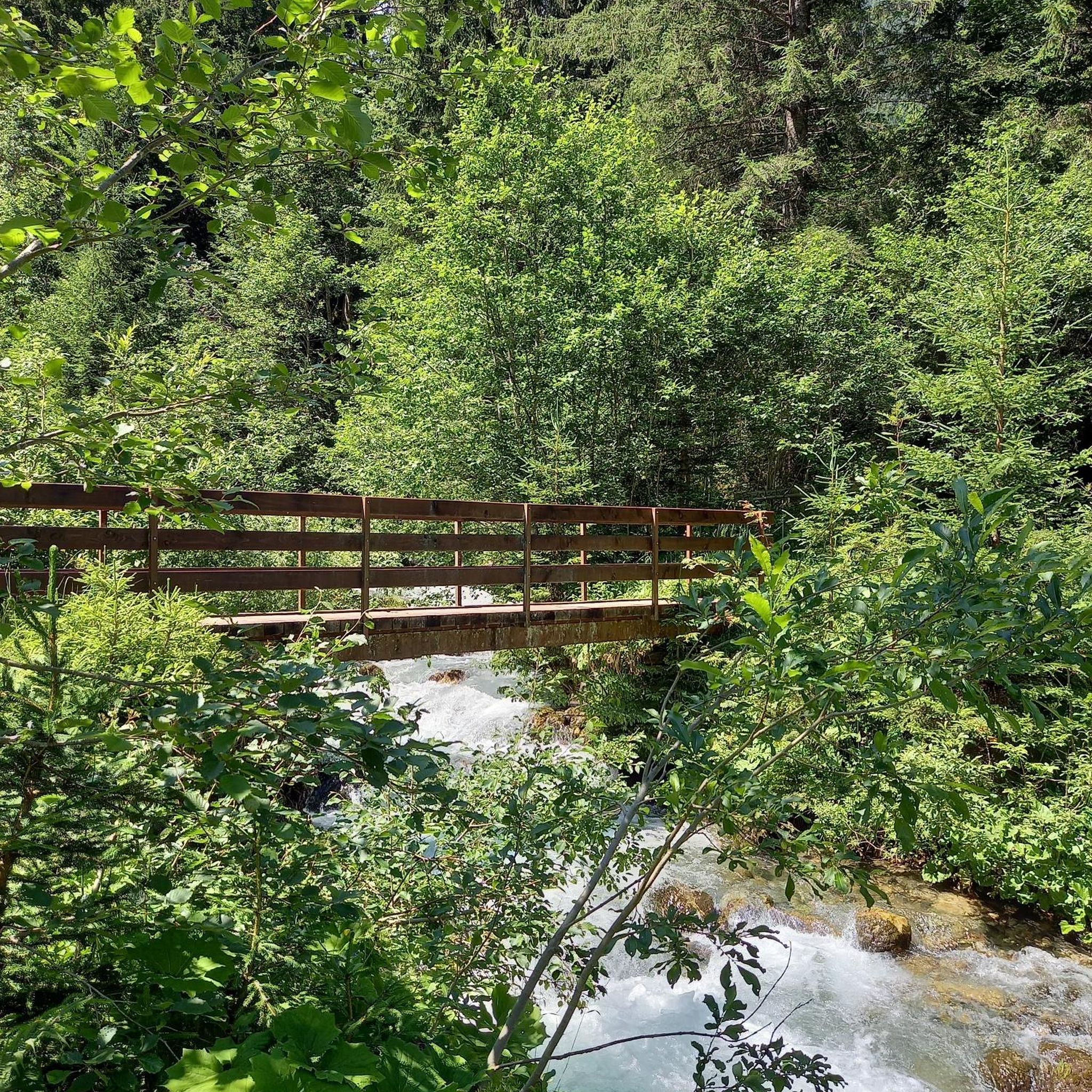
The Hintere Wühre (Forellenbach) is idyllically situated by the small stream in the middle of the green. The calm water and the natural surroundings make the spot a beautiful, relaxing stop on the tour.
0
0
This weir system is just one of only three remaining weir systems in the Hotzenwald region. The branch from the Höllbach stream, which supplies water, is located directly on the hiking trail, and the signal box is clearly visible.
0
0

The Hintere Wühre, also known as the Forellenbach, was artificially created in the Middle Ages. The watercourse is two kilometers long and flows from the Höllbach to Görwihl. The Wuhren, as the small dams are called, played an important role in irrigating the meadows, which was a benefit to agriculture in the region.
1
0

Old ore mine entrance with information boards.
0
0
Frequently Asked Questions
How many no-traffic touring cycling routes are available around Görwihl?
There are over 15 dedicated no-traffic touring cycling routes around Görwihl, offering a variety of distances and elevations to explore the beautiful Hotzenwald and Black Forest region.
What kind of terrain can I expect on these no-traffic routes in Görwihl?
The routes in Görwihl, situated in the hilly Hotzenwald, feature varied terrain with engaging climbs and descents. You'll find paths traversing extensive forests, lush meadows, and river valleys. While some routes are moderate, many are classified as difficult due to significant elevation gains, offering a rewarding challenge for touring cyclists.
Are there any easy no-traffic touring routes suitable for beginners?
While many routes in Görwihl involve significant elevation changes, the region offers varied options. For a taste of the area, consider routes that stick to flatter valley sections or shorter loops. Always check the route's elevation profile on komoot to match your fitness level.
What is the best time of year to enjoy traffic-free cycling in Görwihl?
The best time to enjoy traffic-free cycling in Görwihl is typically from late spring through early autumn (May to October). During these months, the weather is generally mild, and the landscapes are vibrant, offering ideal conditions for exploring the Black Forest and Hotzenwald.
Are there any waterfalls or scenic gorges along the no-traffic cycling routes?
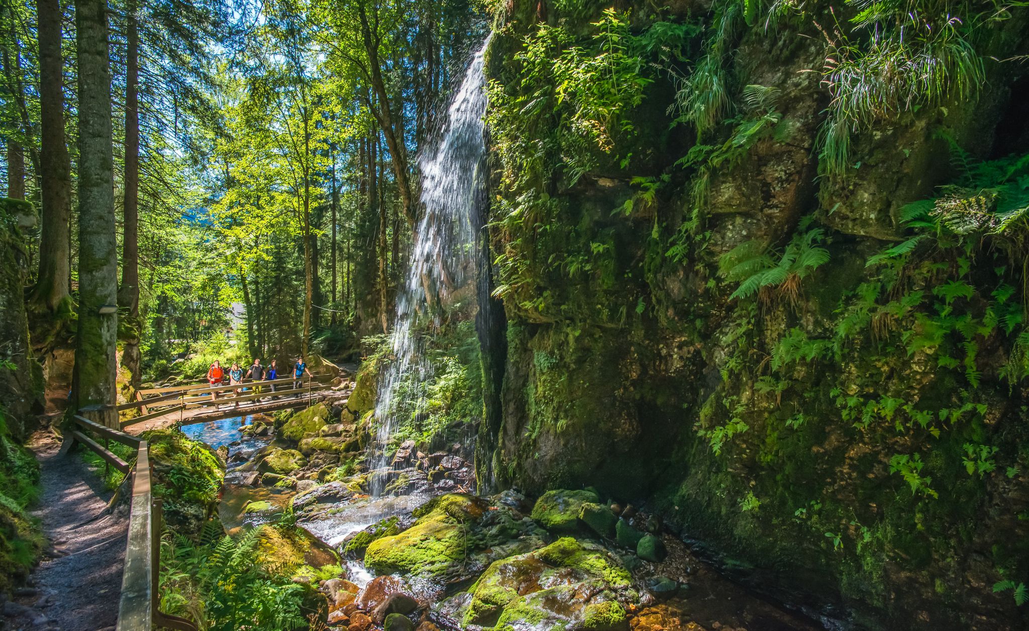
Yes, the region is rich in natural wonders. You can encounter several waterfalls and dramatic gorges. For instance, the Waterfall glacier mill – Monastery Pond loop from Hartschwand passes by scenic spots. Other notable waterfalls in the area include the Windberg Waterfall and the Todtmoos waterfalls, while the Windberg Gorge offers a dramatic landscape.
Can I find routes with panoramic views of the Black Forest or Alps?
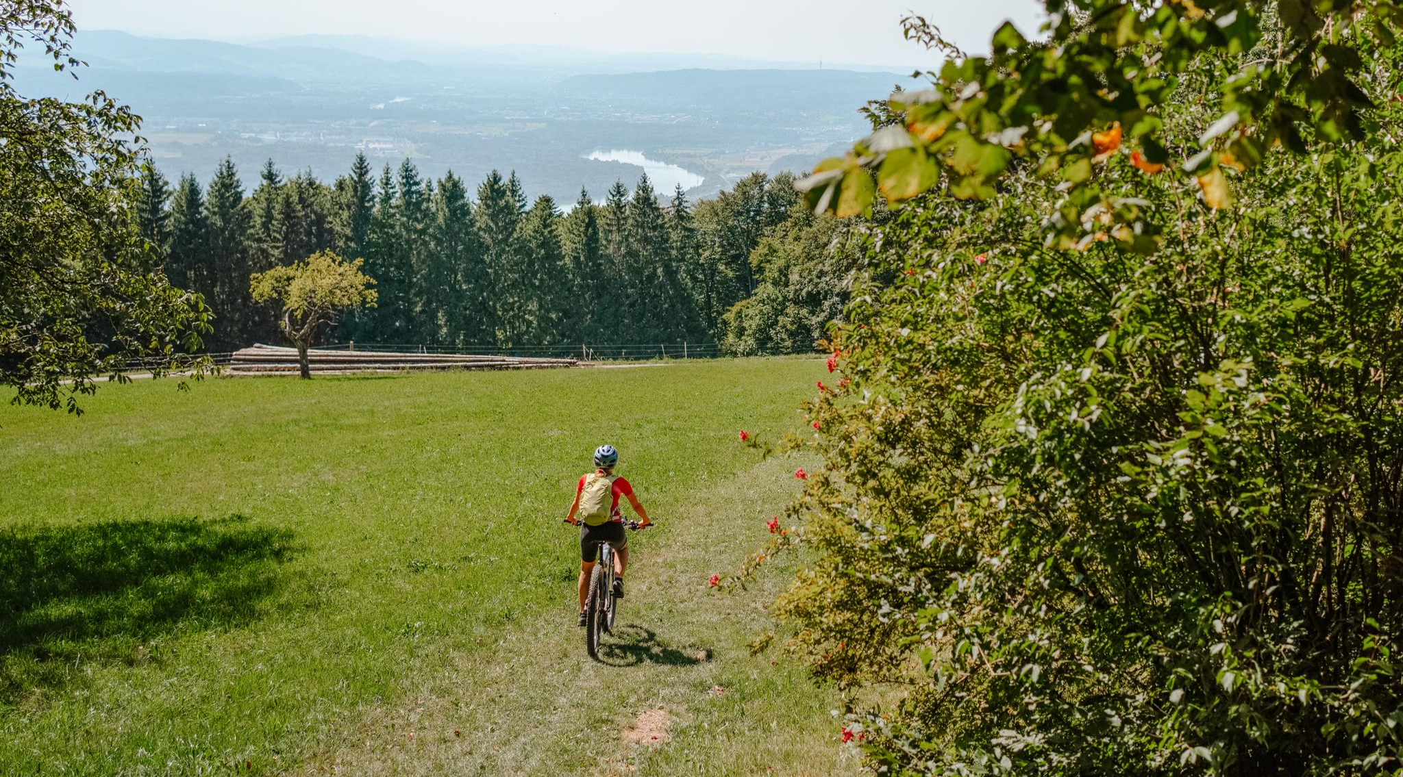
Absolutely! Görwihl is known for its stunning panoramic views. Routes like the View of the Alps – Globe tower loop from Oberwihl offer far-reaching sights across the Hotzenwald and, on clear days, even glimpses of the Swiss Alps. The Hochkopf Tower is also a great spot for 360-degree views.
Are there historical sites or cultural attractions accessible from these routes?
Yes, you can combine your cycling with historical exploration. The Waterfall glacier mill – Globe tower loop from Rotzingen offers a chance to see the Globe Tower. Additionally, the Wieladingen Castle Ruins and Werrach Castle Ruins are nearby attractions that can be incorporated into your touring plans.
Are the no-traffic touring cycling routes in Görwihl suitable for families with children?
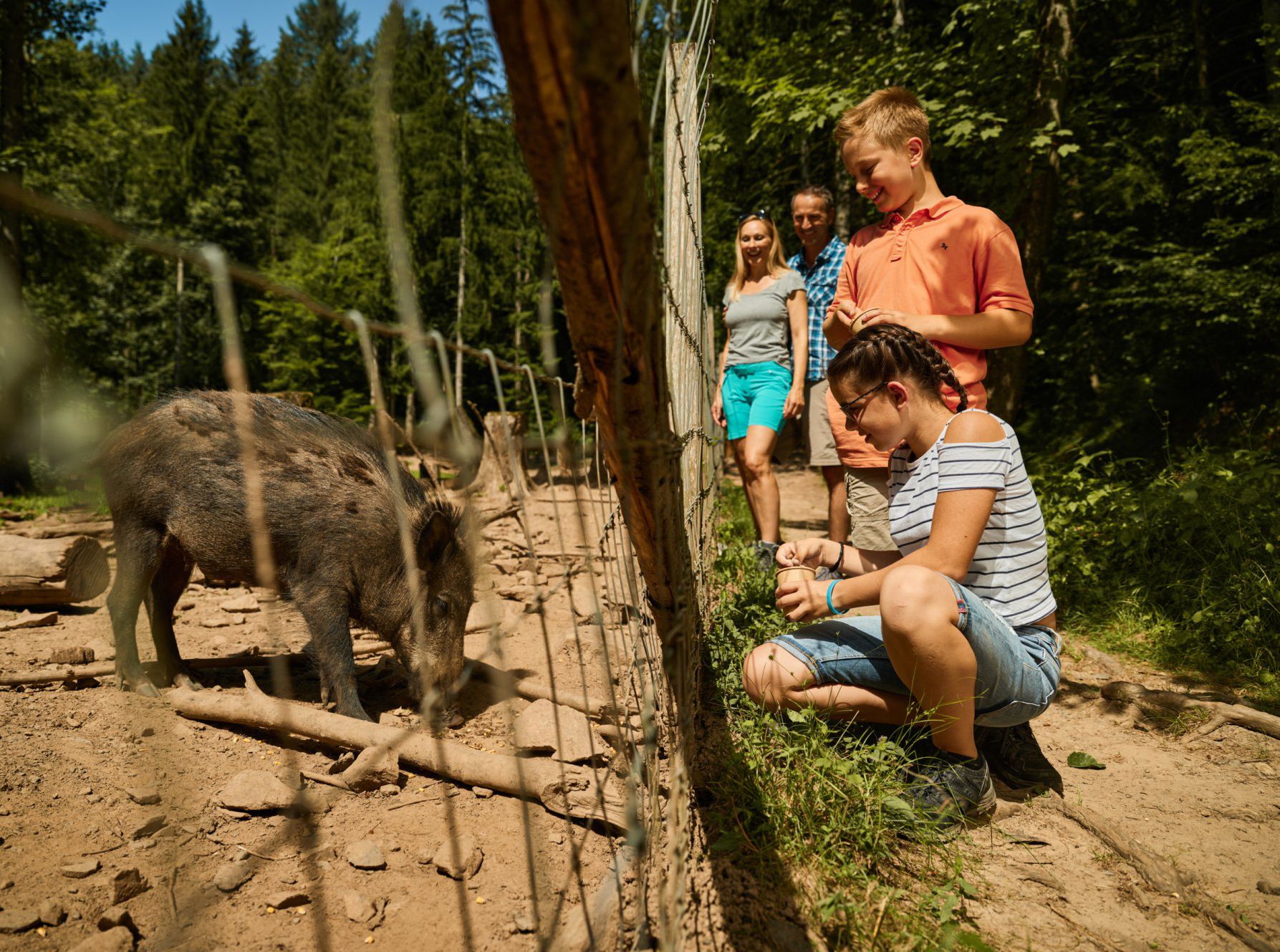
While many routes in Görwihl feature hilly terrain, some sections or shorter loops can be suitable for families. Look for routes with lower elevation gains and consider the overall distance. The recently restored nature and bird trail, following a picturesque watercourse, might offer a more leisurely experience for families.
Can I bring my dog on these cycling routes?
Generally, dogs are welcome on public paths and trails in the Black Forest region, including many cycling routes. However, it's always advisable to keep your dog on a leash, especially in nature reserves or areas with wildlife, and to be mindful of other cyclists and hikers. Always carry water for your dog and clean up after them.
Where can I find parking for these traffic-free cycling routes?
Many of the routes start from villages or designated trailheads where parking is available. For example, routes often begin in towns like Hartschwand, Rotzingen, Oberwihl, or Strittmatt, which typically have public parking facilities. Always check the specific route details on komoot for recommended starting points and parking information.
Are there options for public transport access to the starting points of these routes?
Public transport options, primarily buses, connect Görwihl with surrounding towns and villages in the Black Forest. While direct access to every trailhead might vary, you can often reach a nearby village by bus and start your ride from there. Check local bus schedules for the most up-to-date information on routes and bike carriage policies.
Are there places to stop for refreshments or accommodation along the routes?
Yes, the villages and towns throughout the Hotzenwald and Black Forest region offer various options for refreshments and accommodation. You'll find traditional guesthouses, restaurants, and cafes where you can take a break and refuel. Planning your route with komoot allows you to identify such stops along your chosen path.
Are there any circular no-traffic touring routes available?
Yes, many of the touring cycling routes around Görwihl are designed as circular loops, allowing you to start and end at the same point. Examples include the Waterfall glacier mill – Monastery Pond loop from Hartschwand and the Waterfall glacier mill – Globe tower loop from Rotzingen, providing convenient options for your tour.
What do other touring cyclists appreciate most about cycling in Görwihl?
The area is highly rated by the komoot community, with an average score of 4.8 stars. Reviewers often praise the diverse landscapes, the challenging yet rewarding climbs, and the stunning panoramic views. The tranquility of the no-traffic routes through dense forests and picturesque valleys is frequently highlighted as a major draw.
Most popular attractions around Görwihl

Get inspired with the komoot mobile app


Explore more
Browse the best Cycling routes in other regions.
