The best traffic-free bike rides around Horperath
4.5
(103)
2,250
riders
5
rides
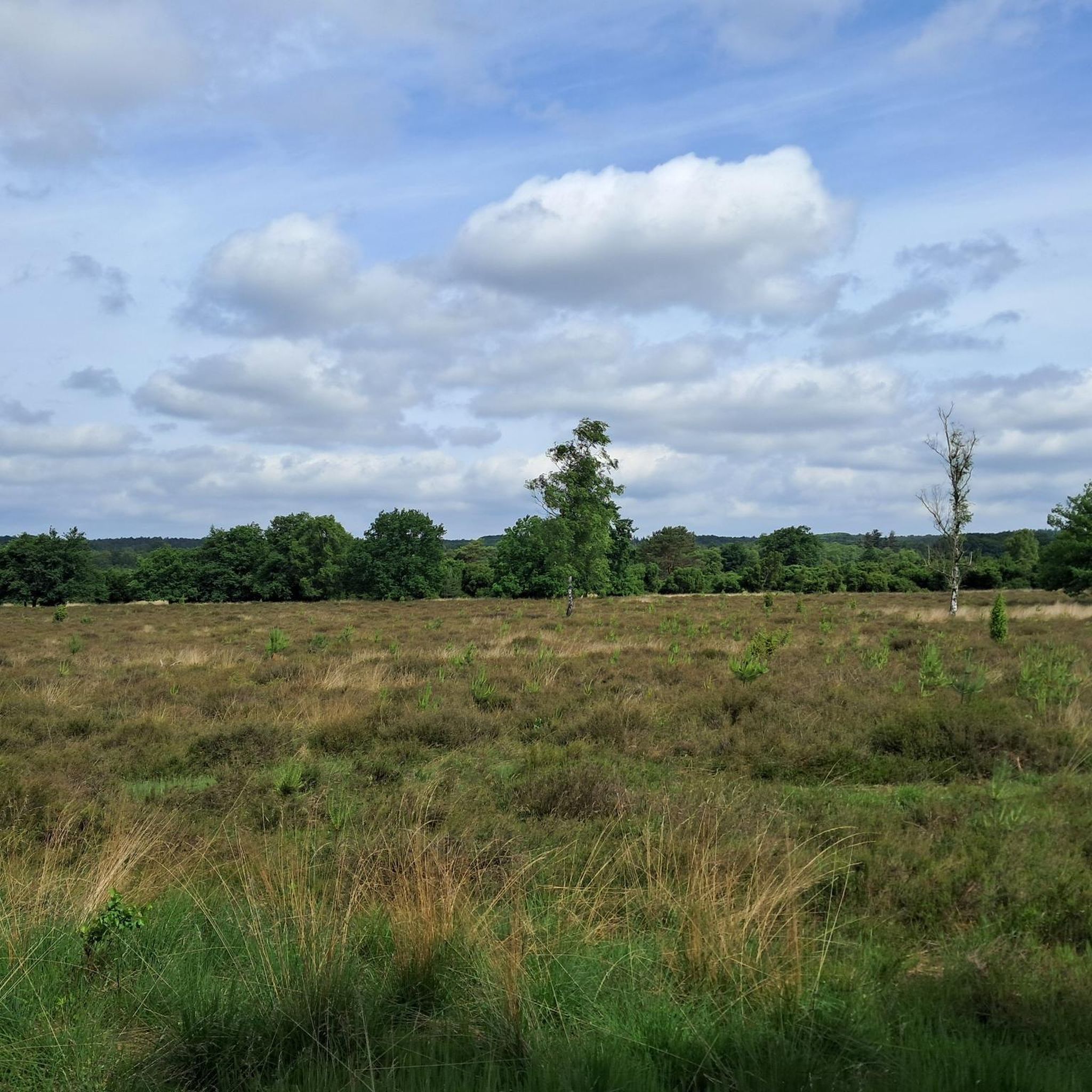
No traffic road cycling routes around Horperath are situated within Germany's Vulkaneifel district, characterized by a unique volcanic landscape of rolling hills, valleys, and dense forests. The region features ancient volcanic craters known as maars, some of which are water-filled, creating distinct natural landmarks. Road cyclists can expect varied terrain with moderate elevation changes, offering a mix of challenging climbs and scenic stretches through this geologically rich area.
Best no traffic road cycling routes around Horperath
- The most popular no…
Last updated: May 15, 2026
19
riders
24.5km
01:10
310m
310m
Moderate road ride. Good fitness required. Mostly well-paved surfaces and easy to ride.
5.0
(5)
15
riders
Moderate road ride. Good fitness required. Some segments of this route may be unpaved and difficult to ride.

Sign up for free
5.0
(7)
99
riders
74.8km
03:32
810m
810m
Moderate road ride. Good fitness required. Some segments of this route may be unpaved and difficult to ride.
521
riders
5.81km
01:25
80m
80m
Moderate road ride. Great for any fitness level. Some segments of this route may be unpaved and difficult to ride.
4
riders
16.7km
00:45
180m
180m
Moderate road ride. Great for any fitness level. Some segments of this route may be unpaved and difficult to ride.
Our route recommendations are based on thousands of hikes, rides, and runs completed by other people on komoot.
Start today with a free account
Your next adventure awaits.
Login or Signup
Popular around Horperath
Tips from the Community


What a great tunnel, over 500m Video on Instagram "biketime1979"
0
0

A beautiful former railway bridge. It's beautiful to look at from both above and below.
1
0

From 13:00 o'clock many people are out and about when the sun ☀️ shines
0
0

A very well-maintained tunnel. A highlight for the kids.
0
0

Very good surface, pleasantly shady in summer
0
0
Very good surface, lots of deciduous forest
0
0

"Old Station" Schalkenmehren Passenger service between Daun and Wittlich was discontinued on November 1, 1981. Schalkenmehren. Approaching the Old Station in Schalkenmehren on the former railway line, today's Maare-Mosel cycle path, and seeing the station building, it's hard to believe that it was opened as a fourth-class railway station exactly 100 years ago. But how did it all begin 100 years ago? Surveying for the Daun-Wittlich railway line began as early as 1897. General preparatory work for the single-track line began in 1907. But it would take some time before the Daun-Schalkenmehren-Gillenfeld section opened on December 1, 1909, with the line running over the 28-meter-high Daun viaduct and through the 560-meter-long Schalkenmehren railway tunnel, "Großes Schlitzohr" (Great Sly Fox). The extension from Gillenfeld to Manderscheid to Pantenburg was completed on May 1, 1910, and the extension from Manderscheid-Pantenburg to Wittlich, signifying the completion of the entire line, was completed on July 1, 1910. The completion of the Daun-Wittlich railway line brought rapid development to the village of Schalkenmehren. In the first year of the line's existence (1910), 18,968 tickets were sold in Schalkenmehren, followed by 25,057 in 1913, 27,969 in 1919, and even 30,279 in 1922. In addition, Schalkenmehren station was designed for general cargo traffic and the receipt and dispatch of wagonloads. Text / Source: www.volksfreund.de/ https://www.volksfreund.de/region/vulkaneifel/ein-schmuckstueck-fuer-nostalgiker_aid-5712448
13
0
Frequently Asked Questions
How many no-traffic road cycling routes are available around Horperath?
There are 5 dedicated no-traffic road cycling routes around Horperath featured in this guide. These routes offer a variety of distances and elevations, all designed for a peaceful ride away from vehicle traffic.
What is the best time of year for no-traffic road cycling in the Horperath region?
The Vulkaneifel region, including Horperath, is ideal for road cycling from spring through autumn. During these seasons, you'll experience pleasant temperatures, lush green landscapes, and the best conditions for exploring the volcanic maars and scenic routes. Winter cycling is possible but can be challenging due to colder weather and potential icy patches.
Are there any family-friendly no-traffic road cycling routes near Horperath?
While the routes in this guide are generally moderate, the region offers options that can be adapted for families. For a relatively shorter and less strenuous ride, consider the St. Remaclus Parish Church – Bergkrone Mine Tunnel loop from Gunderath, which covers about 15.5 km. For longer, flatter options, the nearby Mosel Cycle Route is renowned for its family-friendly, mostly flat terrain along the river.
What kind of landscapes can I expect on these no-traffic road cycling routes?
The no-traffic road cycling routes around Horperath immerse you in the unique volcanic landscape of the Vulkaneifel. You'll cycle through rolling hills, dense forests, and green meadows, often passing by the region's iconic maars (volcanic lakes). Some routes also feature historical elements like old mine tunnels, such as the Bergkrone Mine Tunnel loop from Sassen.
Are there any notable viewpoints or attractions along the no-traffic road cycling routes?
Yes, the Vulkaneifel region is rich in natural beauty and historical sites. While cycling, you might encounter stunning vistas from elevated points. For example, the Boos Eifel Observation Tower and the View from Hochkelberg offer panoramic views of the volcanic landscape. Some routes also pass by interesting features like the Bergkrone Mine Tunnel.
What is the difficulty level of the no-traffic road cycling routes around Horperath?
The no-traffic road cycling routes in this guide are predominantly rated as 'moderate' difficulty. This means they typically involve some elevation gain and can range from 15 km to over 70 km in length. For instance, the Grünewald Tunnel – Pleiner Viaduct loop from Mehren is a longer moderate route at nearly 75 km with over 800 meters of climbing.
Can I find circular no-traffic road cycling routes in the area?
Yes, all the no-traffic road cycling routes featured in this guide are circular loops, allowing you to start and end your ride in the same location. Examples include the Großes Schlitzohr Tunnel – View of Daun from Daun Viaduct loop from Utzerath and the Roadbike loop from Nürburgring.
Is there parking available near the starting points of these routes?
Yes, most starting points for these routes are located in or near villages like Sassen, Utzerath, Mehren, Gunderath, or Nürburg, where public parking is generally available. It's advisable to check local signage for specific parking regulations and availability before your ride.
What do other cyclists say about road cycling in Horperath?
The komoot community highly rates the cycling experience around Horperath, with an average score of 4.5 stars. Cyclists often praise the region for its quiet roads, beautiful volcanic scenery, and the variety of routes that cater to different fitness levels, making it an excellent destination for traffic-free road cycling.
Are there any longer, well-known cycle paths in the wider region that are traffic-free?
Absolutely. While not directly within Horperath, the renowned Mosel Cycle Route is a major draw for cyclists seeking extensive traffic-free riding. This 250-kilometer path follows the Moselle River, offering a largely flat, well-maintained, and scenic experience through vineyards and charming towns. It holds a 4-star ADFC quality seal for its high standards. You can find more information at visitmosel.de.
Can I access these routes using public transport with my bike?
Public transport options in the Vulkaneifel region can be limited, especially for carrying bikes. While some regional buses or trains might allow bikes, it's best to check specific schedules and regulations with local transport providers in advance. Driving to a starting point and parking is often the most convenient option for cyclists in this area.
Most popular attractions around Horperath

Get inspired with the komoot mobile app


Explore more
Browse the best Road cycling routes in other regions.
