The best hikes from bus stations around Sulzbach-Rosenberg
4.6
(717)
3,287
hikers
223
hikes
Hiking around Sulzbach-Rosenberg offers diverse landscapes within the Oberpfälzer Jura, characterized by a mix of hills, valleys, and dense forests. The region features distinctive rock formations and historical sites, including remnants of its mining heritage. Trails often traverse woodlands and follow limestone outcrops, providing varied experiences for hikers. The terrain ranges from gentle paths along river valleys to more challenging ascents through hilly areas.
Best bus station hiking trails around Sulzbach-Rosenberg
- The most popular bus station hiking route is Seven…
Last updated: July 11, 2026
4.4
(67)
230
hikers
Easy hike. Great for any fitness level. Easily-accessible paths. Suitable for all skill levels.
4.7
(7)
38
hikers
Moderate hike. Good fitness required. Easily-accessible paths. Suitable for all skill levels.

Sign up for free
4.7
(10)
29
hikers
9.04km
02:30
160m
160m
Moderate hike. Good fitness required. Easily-accessible paths. Suitable for all skill levels.
4.6
(17)
36
hikers
Easy hike. Great for any fitness level. Easily-accessible paths. Suitable for all skill levels.
5.0
(5)
24
hikers
10.2km
02:49
180m
180m
Moderate hike. Good fitness required. Easily-accessible paths. Suitable for all skill levels.
Get access to more routes and recommendations from other explorers.
Sign up for free
Already have an account?
Our route recommendations are based on thousands of hikes, rides, and runs completed by other people on komoot.
Start today with a free account
Your next adventure awaits.
Login or Signup
Popular around Sulzbach-Rosenberg
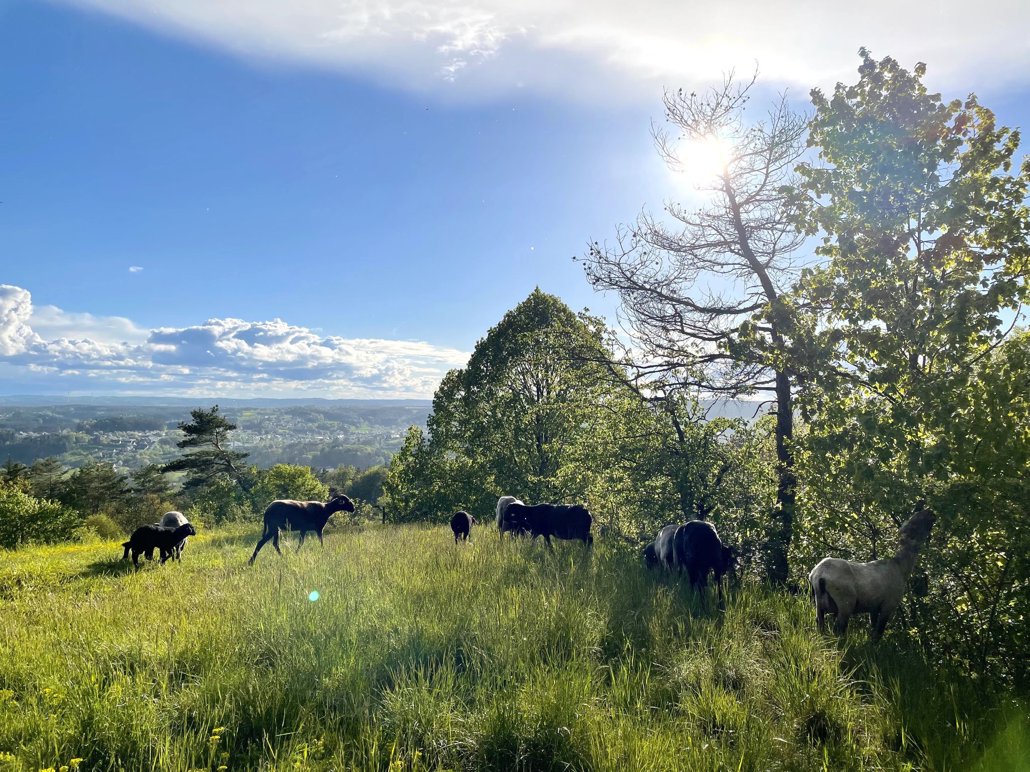


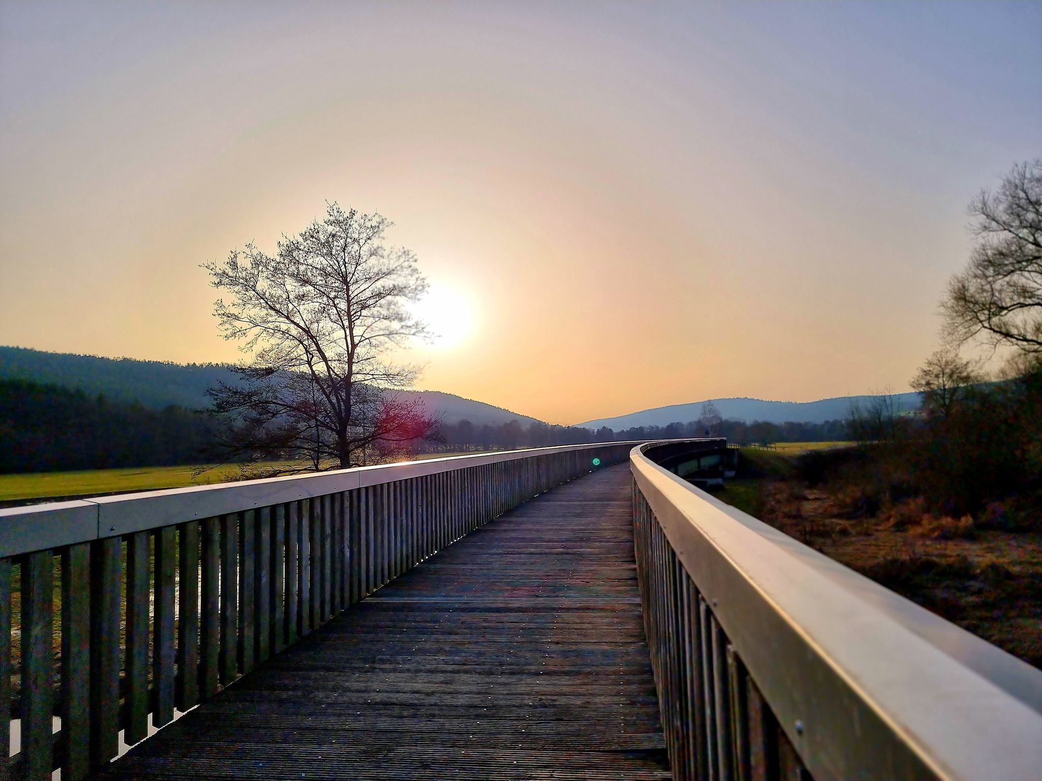
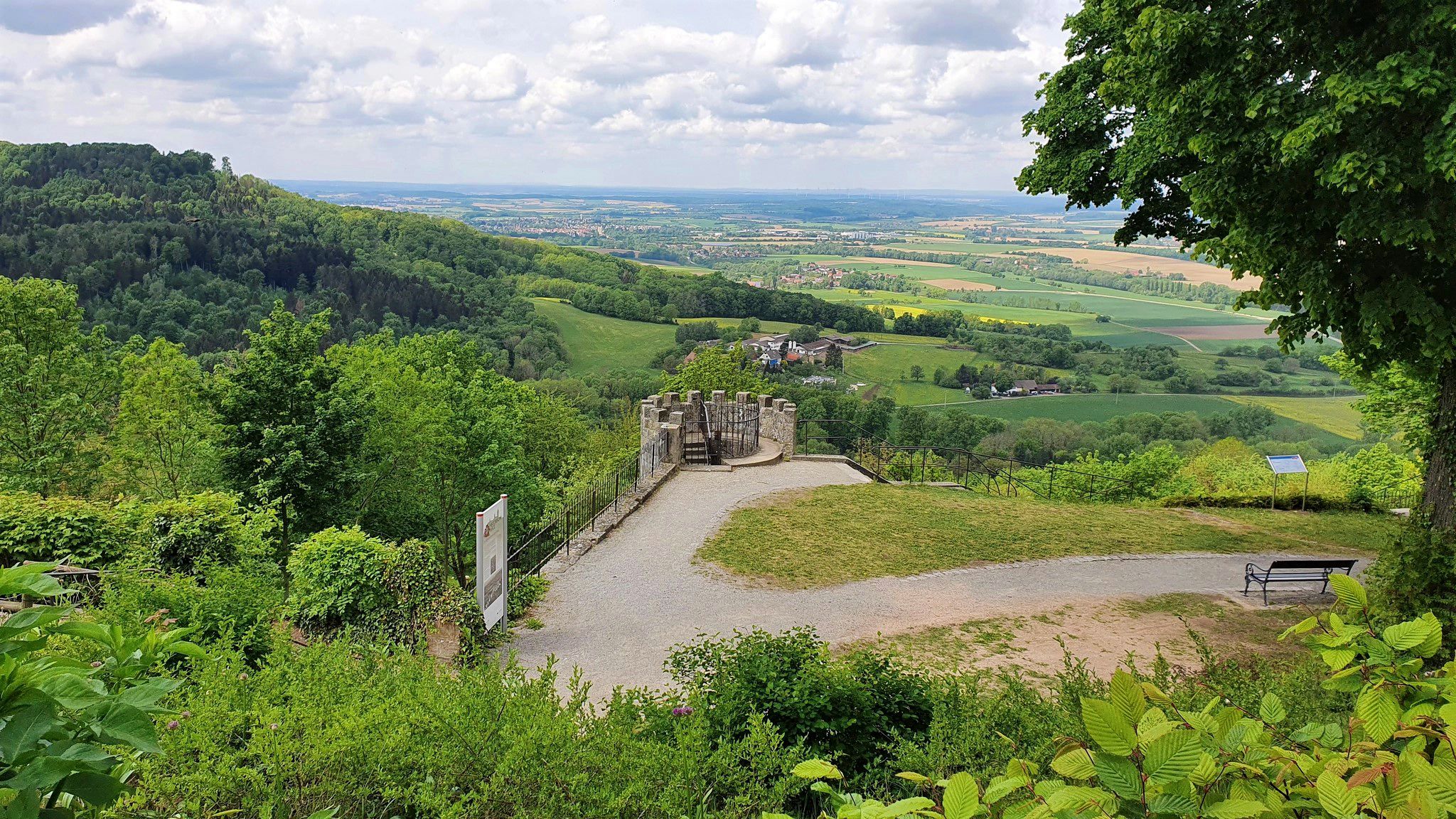
Other adventures around Sulzbach-Rosenberg


Tips from the Community

There is so incredibly much to discover.
0
0

The Annaschacht shaft was sunk starting in 1954 and equipped with a headframe and central buildings by 1958. At peak times, up to 2,500 tons of ore were mined here daily. Along with the Maxhütte and Schlackenberg mines, the headframe is one of the most impressive relics of local mining. A barrier-free circular path leads past the winding tower and exhibits from mining history, including the last hatch of St. Anna, a sinking bucket, a cable car, and a locomotive with a mine car.
0
0


Very idyllic location in the middle of a beech forest. Especially in spring, wonderful light and color play
0
0

On a huge rock, the trail goes directly along the top, partly through crevices
1
0

The winding tower of the St. Anna shaft with its information boards is really worth seeing. https://tourismus.suro.city/foerderturm-und-annaschacht/
0
0


Frequently Asked Questions
How many bus-accessible hiking trails are available around Sulzbach-Rosenberg?
There are over 200 bus-accessible hiking trails around Sulzbach-Rosenberg, offering a wide range of options. The majority, around 147, are considered easy, with 75 moderate routes and a few more challenging options for experienced hikers.
What kind of natural features can I expect to see on these trails?
The trails around Sulzbach-Rosenberg, nestled in the Oberpfälzer Jura, are rich in diverse natural features. You'll encounter scenic hills, dense forests, and distinctive rock formations. The region is particularly known for its caves and impressive rock walls. For example, you can explore areas near Turk's Rock, a massive rock wall, or discover the unique Hansel and Gretel Rocks.
Are there any family-friendly hiking routes accessible by bus?
Yes, Sulzbach-Rosenberg offers charming hiking options suitable for families, often incorporating natural monuments like caves and rock formations. Many of the easy routes are perfect for a family outing. Consider routes that explore the region's caves, such as the trail to Geiskirche Cave, which also features a rock shelter at Lenzenberg.
Can I find circular hiking routes that start and end at a bus station?
Absolutely. Many trails in the region are designed as circular routes, making them convenient for public transport users. For instance, the Seven Springs Karst Springs loop from Grund is an easy circular hike that allows you to return to your starting point.
What are the best times of year to hike around Sulzbach-Rosenberg?
The best seasons for hiking in Sulzbach-Rosenberg are spring and autumn. During these times, temperatures are mild, and the scenery is particularly vibrant, with blooming flowers in spring or colorful foliage in autumn. The varied terrain of the Oberpfälzer Jura is beautiful year-round, but these seasons offer optimal conditions.
Are there any trails that highlight the region's mining history?
Yes, the region has a rich mining heritage, and several trails are dedicated to it. The Mining Experience Trail (Bergbaupfad) is a notable example, leading through old mines and sites of ore extraction. You can experience this history on routes like the Sulzbacher Mining Trail Map loop from Sulzbach-Rosenberg, which passes by a pond near Hartenstein.
Are dogs allowed on the bus-accessible hiking trails?
Generally, dogs are welcome on hiking trails in the Sulzbach-Rosenberg region. However, it's always advisable to keep them on a leash, especially in nature reserves or near livestock. Always carry water for your dog and be mindful of local regulations, particularly when using public transport to reach trailheads.
Are there any trails with good viewpoints or panoramic vistas?
The region offers several trails with excellent viewpoints. The Ossinger Observation Tower, located on the 653-meter-high Ossinger, provides unforgettable panoramic views of the Franconian and Upper Palatinate countryside. Additionally, the Lichtenegg Castle Ruins offer magnificent views, sometimes extending as far as the Fichtel Mountains. You can also find great views on routes like the View from the Rock Platform loop from Sulzbach-Rosenberg.
What do other hikers say about the trails in Sulzbach-Rosenberg?
The hiking trails around Sulzbach-Rosenberg are highly rated by the komoot community, with an average score of 4.6 stars from over 680 ratings. Reviewers often praise the diverse landscapes, the well-maintained paths, and the unique combination of natural beauty and historical sites, making for a rewarding outdoor experience.
Are there any trails that feature caves or rock shelters?
The Sulzbach-Rosenberg area is a highlight for lovers of caves and rock formations. The Osterhöhle is a significant natural monument often included in hikes. Many routes will lead you past these geological wonders, such as the Rock shelter at Lenzenberg – Geiskirche Cave loop from Osterhöhle, which explores multiple cave systems.
Most popular routes around Sulzbach-Rosenberg
Most popular attractions around Sulzbach-Rosenberg

Get inspired with the komoot mobile app


Explore more
Browse the best Hikes in other regions.
