The best traffic-free bike rides around Münchberg
4.5
(488)
2,551
riders
112
rides
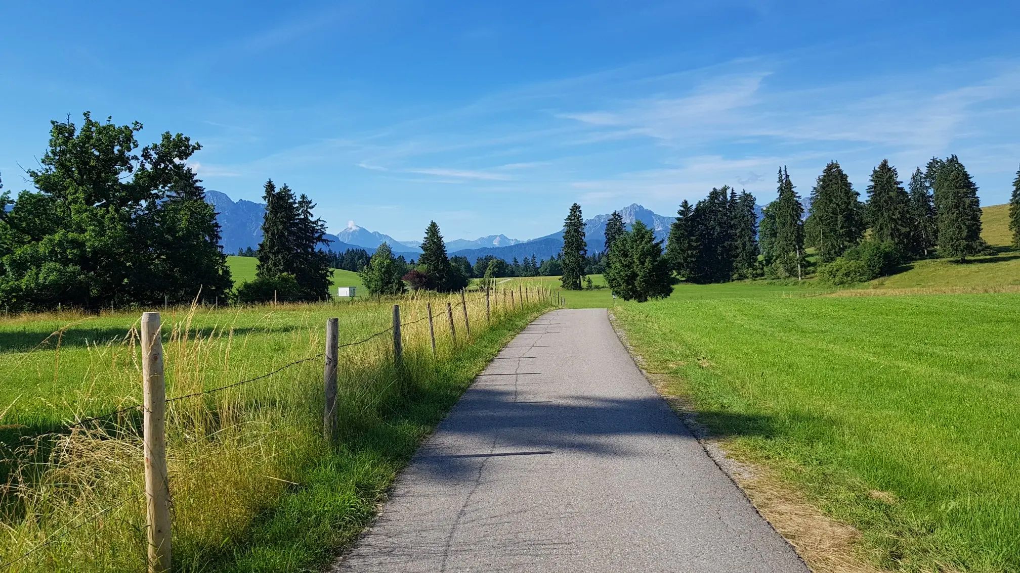
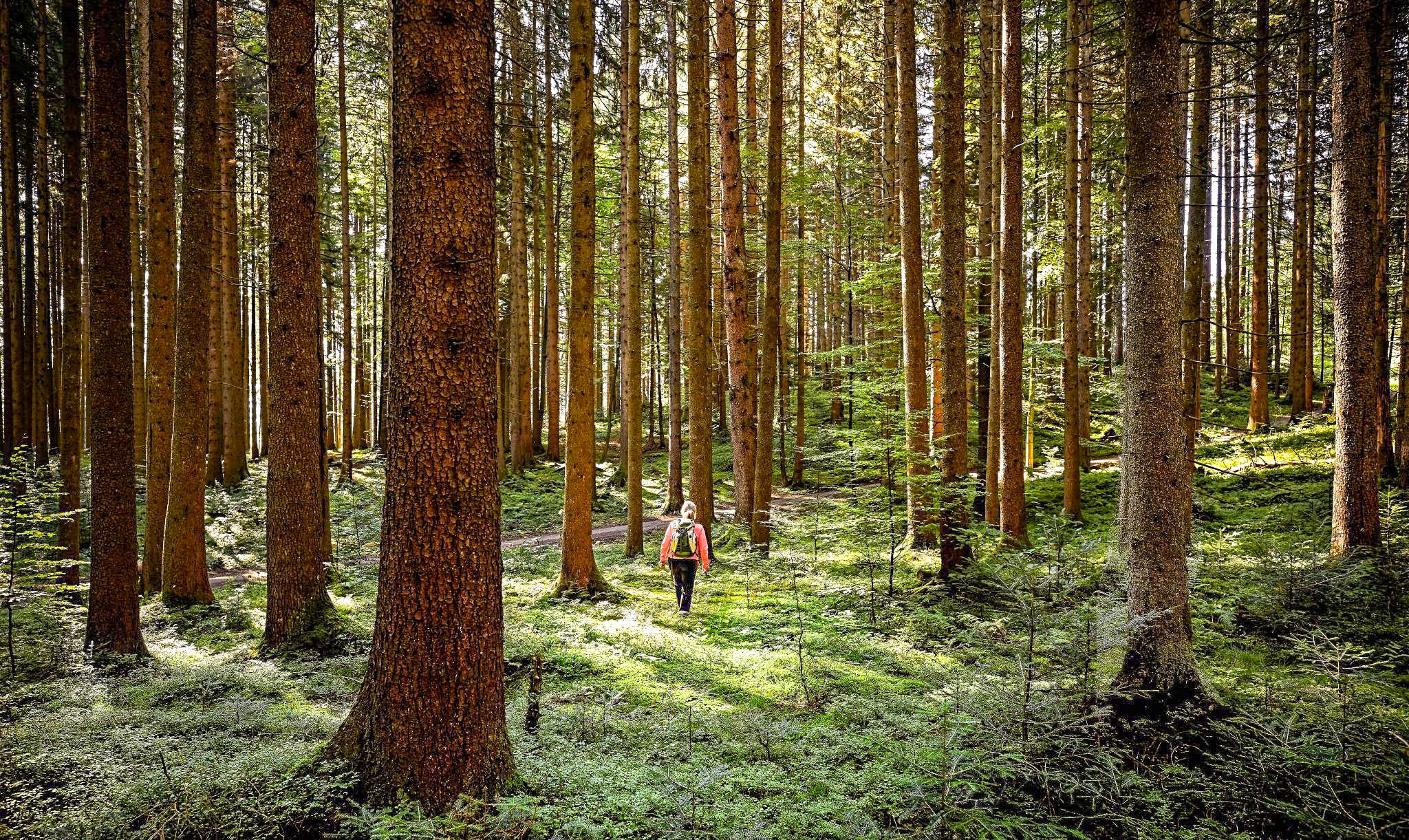
No traffic touring cycling routes around Münchberg traverse a diverse landscape in Upper Franconia, situated between the Franconian Forest and the Fichtel Mountains. The region features varied terrain, including river valleys, hilly areas, and dense forests. Geological formations like the Münchberger Gneismasse and rock formations at Great Waldstein contribute to the area's physical characteristics. Cycling paths include paved roads and gravel sections, offering routes along rivers such as the Saale.
Best no traffic touring cycling routes around Münchberg
- The most…
Last updated: May 15, 2026
4.8
(40)
177
riders
45.7km
03:05
560m
560m
Hard bike ride. Very good fitness required. Mostly paved surfaces. Suitable for all skill levels.
4.3
(11)
35
riders
48.5km
03:23
580m
580m
Hard bike ride. Very good fitness required. Mostly paved surfaces. Suitable for all skill levels.

Sign up for free
4.7
(9)
60
riders
23.1km
01:38
300m
300m
Moderate bike ride. Good fitness required. Mostly paved surfaces. Suitable for all skill levels.
4.8
(16)
58
riders
17.7km
01:07
150m
160m
Moderate bike ride. Good fitness required. Mostly paved surfaces. Suitable for all skill levels.
4.5
(12)
44
riders
21.4km
01:25
220m
220m
Hard bike ride. Good fitness required. You may need to push your bike for some segments of this route.
Get access to more routes and recommendations from other explorers.
Sign up for free
Already have an account?
Our route recommendations are based on thousands of hikes, rides, and runs completed by other people on komoot.
Start today with a free account
Your next adventure awaits.
Login or Signup



Tips from the Community


Excellently developed trail layout and signage. I really enjoyed the route.
0
0

I always feel comfortable at Lake Weißenstadt.
3
1

Very pretty old arched bridge
1
0
Beautiful old arched architecture. Just before Kirchenlamnitz, there is an old arched bridge.
2
0

Good ice cream parlor
0
0

The Pulschnitz is a river over 11 kilometers long and flows into the "Saxon Saale" near Weißdorf
1
0

In front of St. Veit Church, Sparneck commemorates its victims of the First and Second World Wars.
12
0
Frequently Asked Questions
What kind of terrain can I expect on the no-traffic touring cycling routes around Münchberg?
The routes around Münchberg offer a diverse cycling experience, ranging from paved roads to gravel paths. You'll find varied landscapes, including river valleys, hilly areas, and dense forests, characteristic of the Franconian Forest and Fichtel Mountains regions. Some routes, like the Lake Weißenstadt – View of the Förmitz Reservoir loop, feature significant elevation changes, while others, such as the Source of the Saale loop, offer more moderate climbs.
Are there any easy no-traffic touring cycling routes suitable for beginners in Münchberg?
Yes, Münchberg offers a selection of easier no-traffic touring cycling routes. Out of over 100 routes, 15 are classified as easy, providing a gentler introduction to the region's beautiful landscapes. These routes typically feature less challenging terrain and elevation, making them ideal for those new to touring cycling or looking for a relaxed ride.
What natural features or landmarks can I see along the no-traffic cycling routes?
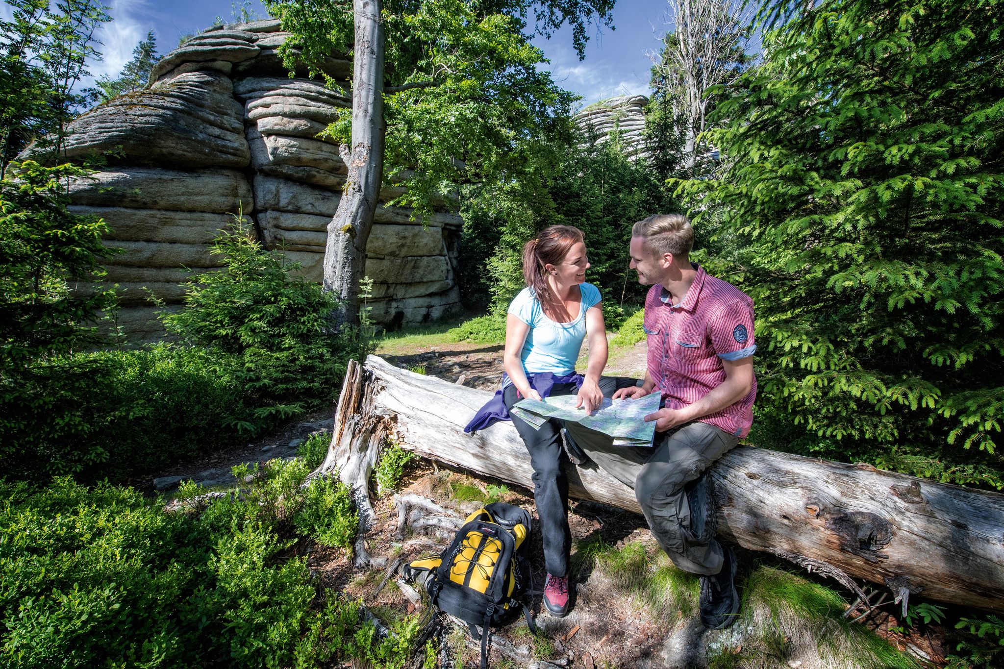
Münchberg's no-traffic cycling routes pass by several notable natural features and attractions. You can explore the dramatic Steinach Gorge, or the scenic Schorgast Valley. The region also boasts impressive rock formations at the Great Waldstein and offers panoramic views from the Prinz-Luitpold Tower. The Sächsische Saale – View of Waldstein loop is one route that offers views of the Waldstein.
What is the best time of year to go touring cycling in Münchberg?
The spring and summer months are generally considered the best seasons for touring cycling in Münchberg. During this time, the weather is pleasant, and nature is in full bloom, offering the most scenic and enjoyable conditions for exploring the region's no-traffic routes.
Are there any circular no-traffic touring cycling routes available?
Yes, many of the no-traffic touring cycling routes around Münchberg are designed as circular tours, allowing you to start and end at the same point. Examples include the Lake Weißenstadt – View of the Förmitz Reservoir loop and the Source of the Saale River loop, which both offer a complete circuit back to your starting point.
What do other touring cyclists enjoy most about the no-traffic routes in Münchberg?
The no-traffic touring cycling routes in Münchberg are highly rated by the komoot community, with an average score of 4.46 stars. Reviewers often praise the quiet woodlands, the diverse landscapes encompassing the Franconian Forest and Fichtel Mountains, and the well-maintained paths that allow for peaceful and scenic rides away from vehicle traffic.
Are there any family-friendly no-traffic cycling routes in Münchberg?
While specific 'family-friendly' designations are not always explicit, the 15 easy-rated routes are generally suitable for families looking for less strenuous rides. These routes often feature gentler gradients and shorter distances, providing a more relaxed experience for all ages. Always check the route details for elevation and distance to ensure it matches your family's capabilities.
Can I find cafes or places to stop for refreshments along the no-traffic routes?
Yes, the region around Münchberg offers opportunities for refreshments. While not every route will have a cafe directly on the path, many routes pass through or near villages and towns where you can find cafes, pubs, or guesthouses. For example, the View of Weickenreuth – Café Frey loop explicitly mentions a cafe, indicating that such stops are part of the touring experience.
Is there public transport access to the no-traffic touring cycling routes in Münchberg?
Münchberg is located within a region that generally supports outdoor activities. While direct public transport access to every single trailhead might vary, Münchberg itself is a town with transport connections. For specific routes, it's advisable to check local bus or train schedules to see if they align with your chosen starting points. Many routes are designed to be accessible from Münchberg or nearby villages.
Where can I park my car when starting a no-traffic touring cycling route in Münchberg?
Parking is generally available in and around Münchberg, especially near popular starting points for cycling routes. Many routes begin from the town center or accessible points in surrounding villages. Look for designated public parking areas or check the specific route details on komoot for recommended starting points, which often include parking information.
How long do the no-traffic touring cycling routes typically take to complete?
The duration of the no-traffic touring cycling routes varies significantly based on distance, elevation, and your cycling pace. For instance, a moderate route like the Source of the Saale River loop, covering about 23 km, might take around 1.5 to 2 hours. Longer, more difficult routes, such as the Lake Weißenstadt loop (45 km), could take 3 to 4 hours or more. Always check the estimated duration provided for each specific route.
Most popular attractions around Münchberg

Get inspired with the komoot mobile app


Explore more
Browse the best Cycling routes in other regions.
