The best traffic-free bike rides around Behringersdorfer Forst
4.4
(12387)
74,875
riders
680
rides
No traffic touring cycling routes around Behringersdorfer Forst traverse a landscape primarily characterized by dense woodlands, forming part of the larger Sebalder Reichswald. The terrain features gentle inclines, with elevations typically ranging between 348 and 371 meters. Key natural elements include the Behringersdorfer See, a renatured former sand pit, and the Langwassergraben stream, which offers picturesque routes. The area also contains charming ponds and several gorges, such as the Bitterbachschlucht.
Best no traffic touring cycling routes around Behringersdorfer Forst
- The…
Last updated: September 30, 2026
4.6
(13)
28
riders
50.6km
03:44
380m
380m
Moderate bike ride. Good fitness required. Mostly paved surfaces. Suitable for all skill levels.
4.3
(3)
35
riders
Moderate bike ride. Good fitness required. Mostly paved surfaces. Suitable for all skill levels.

3.3
(3)
17
riders
27.9km
01:51
130m
130m
Easy bike ride. Great for any fitness level. Mostly paved surfaces. Suitable for all skill levels.
3.0
(4)
21
riders
17.5km
01:07
200m
200m
Moderate bike ride. Good fitness required. Mostly paved surfaces. Suitable for all skill levels.
5.0
(1)
35
riders
Easy bike ride. Great for any fitness level. Mostly paved surfaces. Suitable for all skill levels.
Get access to more routes and recommendations from other explorers.
Already have an account?
Our route recommendations are based on thousands of hikes, rides, and runs completed by other people on komoot.
Start today with a free account
Your next adventure awaits.
Popular around Behringersdorfer Forst

Tips from the Community

In 1728, the dilapidated ABC bridge was replaced by the sandstone arch bridge that still exists today. In honor of the then Emperor Charles VI or his wife Elisabeth, the structure was originally named Kaiserbrücke or Elisabethbrücke. Two obelisks are erected in the middle of the bridge. The eastern one is crowned by a war or imperial eagle with outstretched wings, the western one by a dove of peace with folded wings and an olive branch in its beak.https://de.wikipedia.org/wiki/Karlsbr%C3%BCcke_(N%C3%BCrnberg)
0
0

Nicely rideable path.
1
0

Here you walk over several bridges over the water. https://de.wikipedia.org/wiki/Karlsbr%C3%BCcke_(N%C3%BCrnberg)
0
0

Paragliders also launch from here on the mountain.
0
0

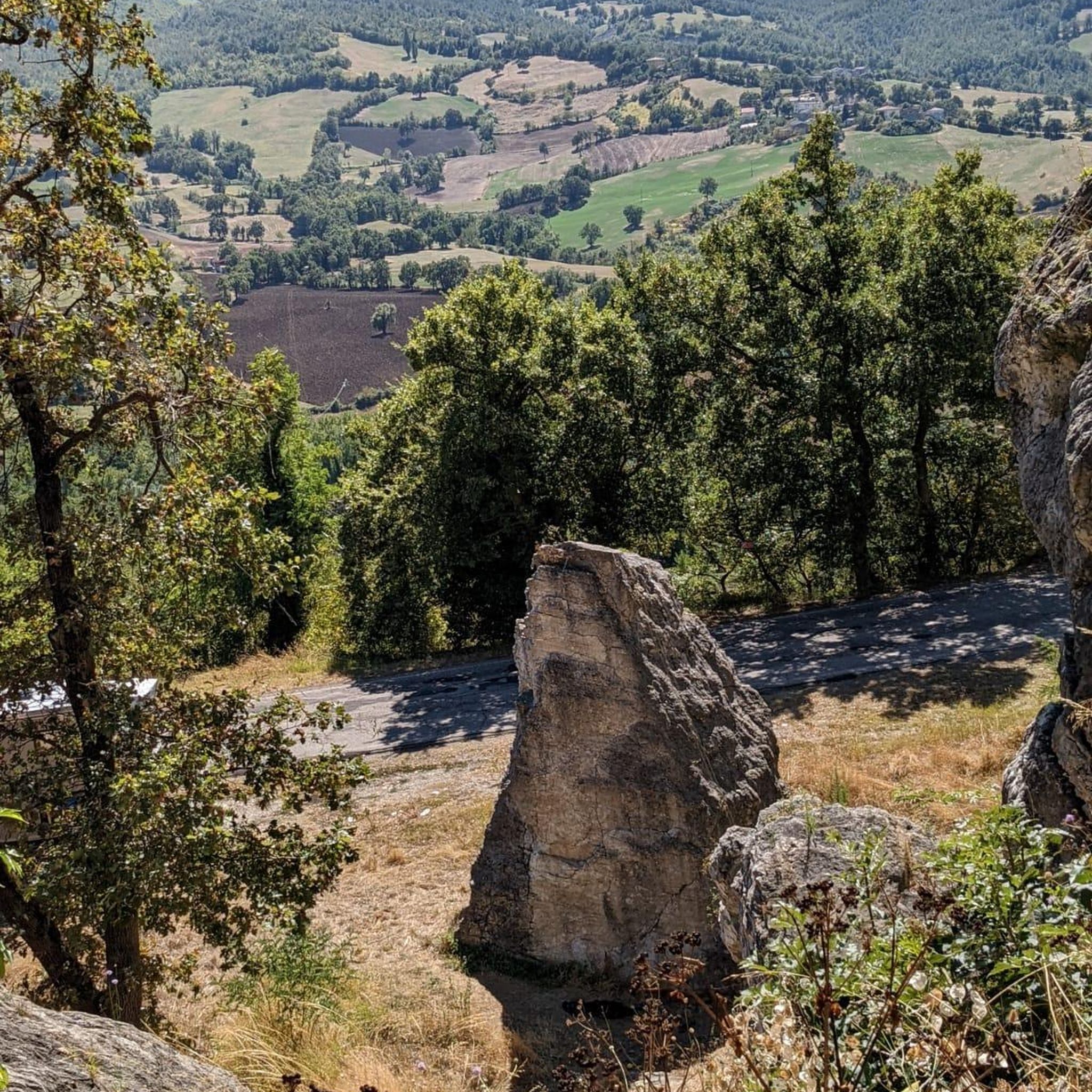
Rocks, beautiful and big
1
0


Very beautiful section of the canal with many former locks
0
0

Definitely cycle along the canal. You are only in nature
0
0
Frequently Asked Questions
How many no-traffic touring cycling routes are available in Behringersdorfer Forst?
There are over 700 dedicated no-traffic touring cycling routes in Behringersdorfer Forst, offering a wide variety of options for all skill levels. You'll find nearly 300 easy routes, over 240 moderate routes, and more than 160 challenging options.
What kind of terrain can I expect on no-traffic touring cycling routes in Behringersdorfer Forst?
The no-traffic routes in Behringersdorfer Forst primarily traverse dense woodlands, part of the larger Sebalder Reichswald, featuring extensive pine forests interspersed with birch and alder trees. You'll encounter well-maintained paths, often paved, with gentle inclines. Elevations typically range between 348 and 371 meters, with the highest point, Haidberg, just under 400 meters.
Are there any circular no-traffic touring cycling routes in the area?
Yes, many of the no-traffic touring cycling routes in Behringersdorfer Forst are circular, allowing you to start and end at the same point. For example, you could try the Ludwig-Danube-Main Canal loop from Behringersdorf, a moderate 50.5 km ride, or the shorter, easy Wöhrder Lake – Imperial Castle Nuremberg loop from Behringersdorf at 27.6 km.
What natural features or landmarks can I see along the no-traffic touring cycling routes?
You'll discover several natural and historical highlights. Routes often pass by the Behringersdorfer See nature reserve, the picturesque Langwassergraben stream, and charming ponds. Notable natural attractions include the Bitterbach Gorge and the Klingender Waterfall. Historically, you might spot the Old Tucherschloss or the St. Maria Magdalena church in Behringersdorf.
Are there any routes suitable for families with children?
Absolutely. Many of the no-traffic routes are well-suited for families, especially the easier ones with well-paved paths and minimal elevation changes. The Wöhrder Lake – Imperial Castle Nuremberg loop from Behringersdorf is an easy 27.6 km option that offers varied scenery and passes by the recreational area of Wöhrder Lake.
Can I bring my dog on the no-traffic touring cycling routes?
Yes, dogs are generally welcome on the cycling routes in Behringersdorfer Forst. However, it's always recommended to keep your dog on a leash, especially in forested areas and near nature reserves, to protect wildlife and ensure a pleasant experience for all users. Please be mindful of local regulations.
What is the best time of year to go touring cycling in Behringersdorfer Forst?
The Behringersdorfer Forst is enjoyable for touring cycling throughout much of the year. Spring and autumn offer pleasant temperatures and beautiful scenery with changing foliage. Summer is also popular, though some paths might be busier. Winter cycling is possible, but conditions can vary, so check weather forecasts for snow or ice.
How do other touring cyclists rate their experience in Behringersdorfer Forst?
The komoot community highly rates touring cycling in Behringersdorfer Forst, with an average score of 4.4 out of 5 stars from over 9,800 ratings. Reviewers often praise the extensive network of quiet, traffic-free paths, the beautiful forested landscapes, and the variety of routes suitable for different fitness levels.
Are there any challenging no-traffic routes for experienced touring cyclists?
Yes, for more experienced touring cyclists seeking a challenge, there are difficult no-traffic routes available. An example is the Schmausenbuck Trail Network – Schmausenbuck Tower loop from Behringersdorf, a 23.6 km route with significant elevation changes that will test your endurance.
Where can I find parking for these no-traffic cycling routes?
Designated parking areas for cyclists are available at various entry points to Behringersdorfer Forst. Many routes, like those starting from Behringersdorf itself, offer convenient access to parking. It's advisable to check specific route descriptions for recommended starting points with parking facilities.
Are there any waterfalls or gorges to explore on these routes?
Yes, the region boasts scenic gorges and a notable waterfall. You can explore the Bitterbach Gorge, which offers enjoyable trails, and the Röthenbach Gorge. The "Klingender Waterfall," a natural monument with a 5-meter drop, is another highlight you might encounter.
Most popular routes around Behringersdorfer Forst
Most popular attractions around Behringersdorfer Forst

Get inspired with the komoot mobile app


Explore more
Browse the best Cycling routes in other regions.
