The best walks and hikes around Loxstedt
4.5
(226)
1,123
hikers
131
hikes
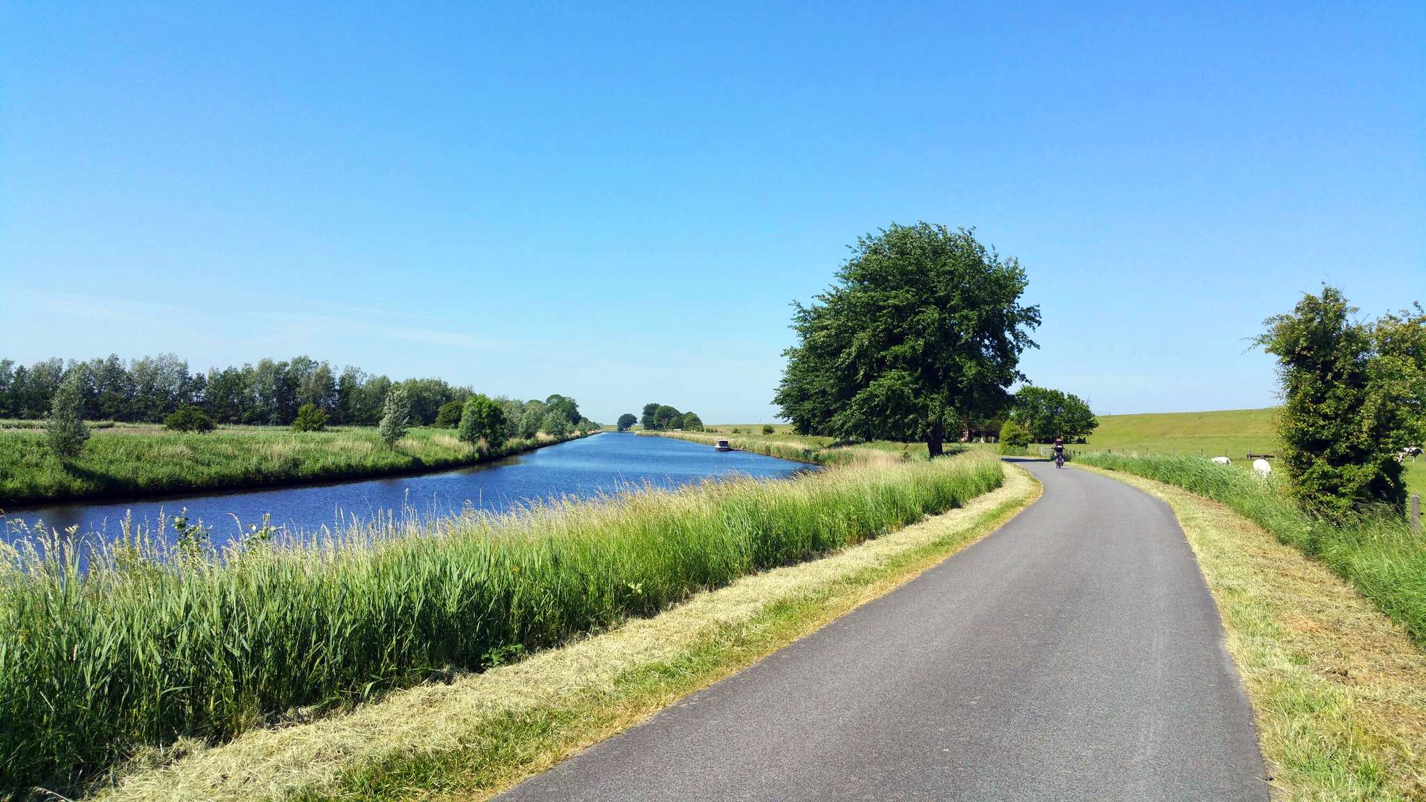
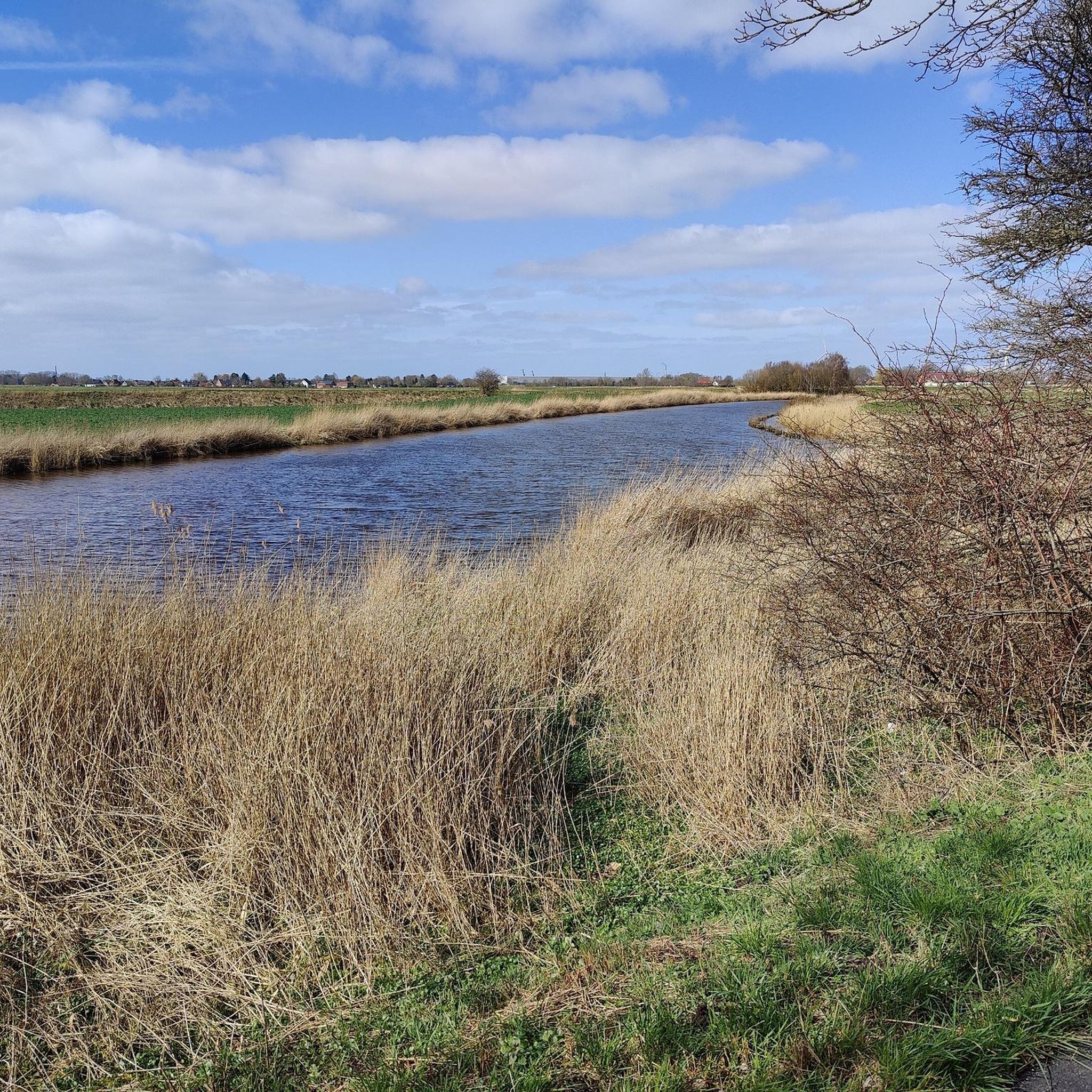
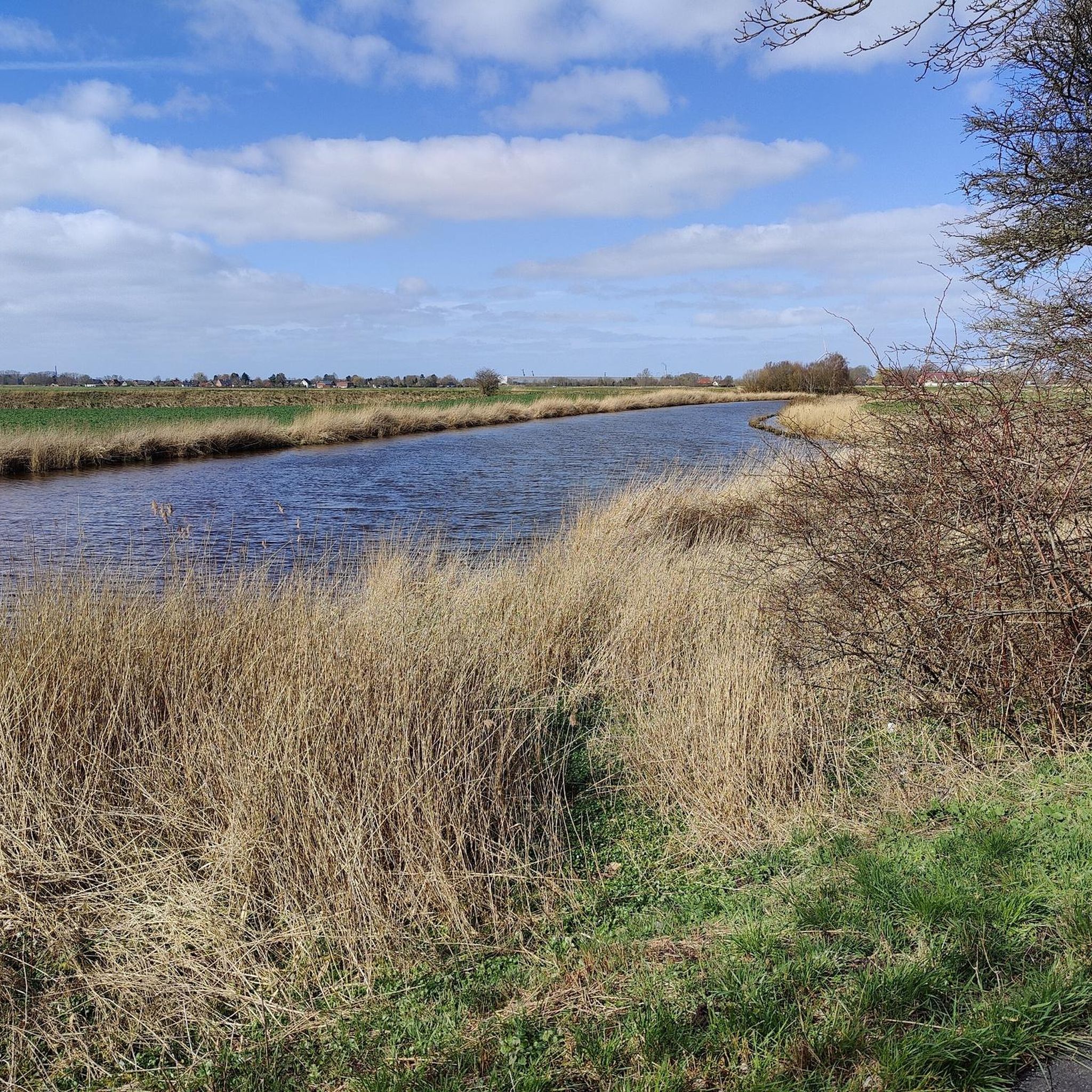
Hiking around Loxstedt offers diverse natural landscapes where the River Oste meets the Elbe in northwest Germany. The region features a unique blend of coastal and moorland scenery, bordering the "Wurster Nordseeküste" nature park and the "Teufelsmoor" nature reserve. Hikers can explore verdant forests, serene lakes like Lake Bederkesa, and expansive green meadows, alongside heathland and dune areas.
Best hiking trails around Loxstedt
- The most popular hiking route is Grazing Cows on Luneplate – Luneplate Observation Tower loop from Overwarfe…
Last updated: May 17, 2026
4.3
(78)
226
hikers
Moderate hike. Good fitness required. Easily-accessible paths. Suitable for all skill levels.
4.6
(23)
123
hikers
3.67km
00:56
10m
10m
Easy hike. Great for any fitness level. Easily-accessible paths. Suitable for all skill levels.

Sign up for free
4.5
(8)
60
hikers
5.32km
01:21
20m
20m
Easy hike. Great for any fitness level. Easily-accessible paths. Suitable for all skill levels.
3.4
(5)
16
hikers
Hard hike. Very good fitness required. Easily-accessible paths. Suitable for all skill levels.
4.9
(7)
24
hikers
9.53km
02:25
20m
20m
Moderate hike. Good fitness required. Easily-accessible paths. Suitable for all skill levels.
Get access to more routes and recommendations from other explorers.
Sign up for free
Already have an account?
Our route recommendations are based on thousands of hikes, rides, and runs completed by other people on komoot.
Start today with a free account
Your next adventure awaits.
Login or Signup

Other adventures around Loxstedt

Tips from the Community

I don't know who came up with the designation "Sektkelch" (champagne glass). For decades, I have only known Unter- and Oberfeuer (lower and upper fire) as typical for Bremerhaven and self-explanatory as Korn and Doppelkorn😜…
0
0

The Stoteler See was created in 1971 during the construction of the BAB A 27 motorway. Over time, the former gravel pit has become an attractive focal point for recreation seekers from the entire district. The lake lies exactly on the border between Torfmoor and Geest, is one kilometer long, 30 hectares in size, and up to 14.5 meters deep. The 400 m long sandy beach, facing south and supervised by the DLRG, is located on the southern shore of the lake. Above it are also the sanitary facilities of the bathing beach. A few benches with a view of the lake invite you to linger. To the south, the nature reserves "Stoteler Moor" and "Königsmoor" border the lake. Moorland rewetting also takes place in the southern area. This leads to the re-establishment of typical moorland plants and animal species in this area. See: https://www.apps.nlga.niedersachsen.de/batlas/?2517_01
2
0
The Stoteler See near Loxstedt was created in 1971 during the construction of the BAB A 27 motorway. Over time, the former gravel pit has become an attractive destination for recreation seekers from the entire district. The lake lies exactly on the border between moorland and geest, is one kilometer long, 30 hectares in size, and up to 14.5 meters deep. The 400 m long sandy beach, built in a southerly direction and supervised by the DLRG, is located on the southern shore of the lake. Above it are also the sanitary facilities of the bathing beach. To the south, the nature reserves "Stoteler Moor" and Königsmoor" border the lake. Moorland rewetting also takes place in the southern area. This leads to the re-establishment of typical moorland plant and animal species in this area. See: https://www.apps.nlga.niedersachsen.de/batlas/?2517_01
2
0
The Stoteler See was created in 1971 during the construction of the BAB A 27 motorway. Over time, the former gravel pit has become an attractive focal point for recreation seekers from the entire district. The lake lies exactly on the border between Torfmoor and Geest, is one kilometer long, 30 hectares in size, and up to 14.5 meters deep. The 400 m long sandy beach, laid out in a southerly direction and supervised by the DLRG, is located on the south bank of the lake. Above it are also the sanitary facilities of the bathing beach. To the south, the nature reserves "Stoteler Moor" and Königsmoor" border the lake. Moorland rewetting also takes place in the southern area. This leads to the re-establishment of moorland-typical plant and animal species in this area. See: https://www.apps.nlga.niedersachsen.de/batlas/?2517_01
2
0
The Stoteler See was created in 1971 during the construction of the BAB A 27 motorway. The former gravel pit has gradually become an attractive destination for recreation seekers from the entire district. The lake lies exactly on the border between Torfmoor and Geest, is one kilometer long, 30 hectares in size, and up to 14.5 meters deep. The 400 m long sandy beach, facing south and supervised by the DLRG, is located on the southern shore of the lake. Above it are also the sanitary facilities of the bathing beach. To the south, the nature reserves "Stoteler Moor" and "Königsmoor" border the lake. Moorland rewetting also takes place in the southern area. This leads to the re-establishment of typical moorland plant and animal species in this area. See: https://www.apps.nlga.niedersachsen.de/batlas/?2517_01
2
0
There are also fishing areas, camper parking spaces, and a hotel with a restaurant. The lake is also the starting point of its own hiking trail. A recreational area in the south of the lake was developed infrastructurally, but not built and completed due to the marshy subsoil. In the course of the construction of the Weser tunnel and the federal road 437, the lake was to be partially designated as a nature reserve and a second lake was to be created to the north, but this was rejected for the construction of the Loxpark commercial area. In the village of Stotel, the streets "Am Stoteler See" and "Zum See" were named after the body of water. See: https://de.wikipedia.org/wiki/Stoteler_See
1
0
The Stoteler See is an artificial bathing and recreational lake in the municipality of Loxstedt in Lower Saxony. It lies within the nature reserve „Teichfledermausgewässer“. The lake was named after the nearby village of Stotel and was created during the construction of the A27 federal motorway to the west. It is approximately 1 km long in a west-east direction, covers 30 hectares, and is up to 14.5 m deep. The surroundings are characterized by the Geest in the north and the Stoteler Moor in the south. Excess water from precipitation is diverted through the Hahnenknoop-Hetthorner Moor Canal into an old arm of the Lune river. The lake is home to fish species such as eel, perch, pike, carp, roach, rudd, tench, and zander. In addition, the surroundings offer a habitat for waterfowl such as mallard, garganey, greylag goose, water rail, and coot. Bathing activities are monitored by the DLRG (German Life Saving Association) local group Samtgemeinde Hagen, for which a watch station is available.
2
0
The restaurant directly on the Stoteler See is Hotel Haus am See at Schulstraße 75, 27612 Loxstedt (Stotel). Location: Quietly located, directly on the Stoteler See with a view of the water and the adjacent nature reserve. Cuisine: Traditional German cuisine with North German specialties and fish dishes. Facilities: Cozy dining room (25 seats), terrace with summer garden, club room with conservatory, and a hall for events. Leisure: Two bowling alleys are available. Surroundings: The lake offers opportunities for fishing, surfing, and swimming. Opening hours (as of April 2026): Monday & Tuesday: closed (except for hotel guests) Wednesday - Saturday: from 5:00 PM to 11:00 PM Sunday: from 11:00 AM to 11:00 PM Reservation: Exclusively by phone at 04744 5407. Getting there: Via the A 27, exit Stotel. Free parking spaces for cars, motorhomes, and buses are available. See: http://www.hotel-haus-am-see-stotel.net/
2
0
Frequently Asked Questions
How many hiking trails are available in Loxstedt?
Loxstedt offers a wide network of over 120 hiking routes. These trails cater to various preferences, ranging from easy strolls around lakes to more challenging, longer excursions through diverse landscapes.
What types of landscapes can I expect to see while hiking in Loxstedt?
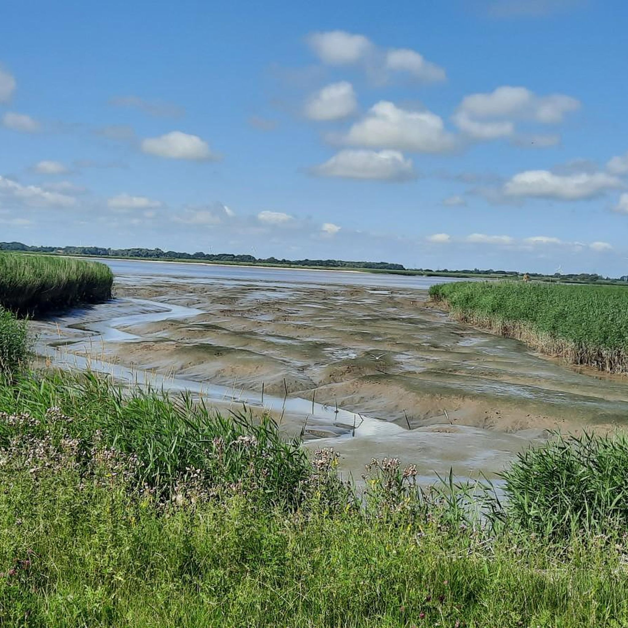
Loxstedt's unique location where the River Oste meets the Elbe provides a blend of coastal and moorland scenery. You'll find verdant forests, serene lakes like Lake Bederkesa and Stoteler Lake, expansive green meadows, and even heathland and dune areas. The nearby Wadden Sea also offers unique mudflat experiences.
Are there hiking trails suitable for families with children in Loxstedt?
Yes, Loxstedt has many family-friendly options. Over 80 of the trails are classified as easy, making them ideal for families. The region also features attractions like the Forest Playground at Forsthaus Hahnenknoop, which serves as a popular starting point for walks with children.
Are there any circular hiking routes in Loxstedt?
Many of the trails in Loxstedt are designed as circular routes, allowing you to start and end at the same point. For example, the Sandy Beach at Stoteler See – Stoteler Lake loop from Stotel is an easy 2.3-mile (3.7 km) path offering scenic views around Stoteler Lake.
What are some options for longer, more challenging hikes in the Loxstedt area?
For those seeking a greater challenge, Loxstedt offers a few difficult routes. One notable option is the Luneplate Observation Tower – Storm Surge Barrier Luneplate loop from Lanhausen, which spans over 14.9 miles (24 km) and takes approximately 6 hours to complete.
What can I see along the hiking trails in Loxstedt?
Beyond the natural beauty of forests, lakes, and moorland, you can explore various points of interest. Highlights include the scenic Stoteler Lake, the Spadener Lake, and the Silbersee near Wehdel. For cultural insights, the 16th-century Ritzebüttel Castle and the historic center of Debstedt are also within the broader region.
What is the best time of year to go hiking in Loxstedt?
Loxstedt experiences a mild climate, making it suitable for hiking throughout much of the year. Spring and autumn are particularly recommended, with nature in bloom and mild weather respectively. Summers are warm, and even temperate winters can offer enjoyable outdoor experiences.
Are there any dog-friendly hiking trails in Loxstedt?
Many trails in Loxstedt are suitable for hiking with dogs, allowing you to explore the diverse landscapes together. It's always advisable to keep dogs on a leash, especially in nature reserves or near livestock, and to check local regulations for specific areas.
Are there any viewpoints or observation towers along the trails?
Yes, some routes offer opportunities for panoramic views. The Grazing Cows on Luneplate – Luneplate Observation Tower loop from Overwarfe, for instance, leads to an observation tower, providing expansive vistas of the surrounding landscape.
What do other hikers enjoy most about hiking in Loxstedt?
The hiking experiences in Loxstedt are highly rated by the komoot community, with an average score of 4.5 stars from over 200 reviews. Hikers often praise the diverse natural landscapes, the peaceful atmosphere of the moorlands and forests, and the well-maintained paths around the lakes.
Can I reach hiking trailheads in Loxstedt using public transport?
While some trailheads might be accessible by local bus services, public transport options can be limited in rural areas. It's recommended to check local bus schedules in advance or consider driving to starting points, especially for trails further afield.
Are there places to eat or drink near the hiking routes in Loxstedt?
Yes, you can find cafes and pubs in the villages and towns surrounding Loxstedt's hiking areas. For example, there are options near Lake Bederkesa and in the historic centers like Debstedt, where you can enjoy a meal or refreshment after your hike.
Most popular attractions around Loxstedt

Get inspired with the komoot mobile app


Explore more
Browse the best Hikes in other regions.
