The best traffic-free bike rides around Röhrnbach
4.8
(22)
146
riders
31
rides
Gravel biking around Röhrnbach offers diverse terrain within the Bavarian Forest, Europe's largest continuous nature reserve. The region features rolling hills, expansive forests, and river valleys like the Ilz, providing varied topography for gravel routes. Former railway lines have been converted into well-maintained cycling paths, offering smooth sections alongside more challenging ascents. This landscape composition ensures a range of no traffic gravel bike trails suitable for different skill levels.
Best no traffic gravel bike trails around Röhrnbach
- The most popular no traffic gravel bike trail is Adalbert-Stifter Cycle Path – Frauenberg Railway Bridge loop from Waldkirchen, a 25.7 miles (41.4 km) trail that takes 3 hours 21 minutes to complete. This route follows a former railway line, passing by bridges and unique rock formations.
- Another top favourite among local gravel bikers is Frauenberg Railway Bridge – Adalbert-Stifter Cycle Path loop from Waldkirchen, a difficult 34.5 miles (55.6 km) path. This route navigates through the region's rolling hills and forested sections.
- Local gravel bikers also love the Erlauzwieseler Reservoir – Erlauzwiesel Reservoir loop from Waldkirchen, a 12.8 miles (20.6 km) trail leading through the Erlauzwieseler Reservoir area, often completed in about 1 hour 35 minutes.
- Gravel biking around Röhrnbach is defined by the expansive Bavarian Forest, the scenic Ilz River Valley, and converted railway lines. The network offers options for easy, moderate, and difficult routes, catering to various ability levels.
- The routes in Röhrnbach are highly rated by the komoot community with an average score of 4.8 stars from more than 10 reviews. More than 100 gravel bikers have used komoot to explore Röhrnbach's varied terrain.
Last updated: June 27, 2026
4.6
(8)
39
riders
Hard gravel ride. Very good fitness required. Mostly paved surfaces. Suitable for all skill levels.
4.7
(3)
8
riders
Hard gravel ride. Very good fitness required. Mostly paved surfaces. Suitable for all skill levels.

Sign up for free
5.0
(1)
13
riders
20.6km
01:36
210m
210m
Moderate gravel ride. Good fitness required. Mostly paved surfaces. Suitable for all skill levels.
5.0
(1)
12
riders
37.3km
02:36
500m
500m
Hard gravel ride. Very good fitness required. Mostly paved surfaces. Suitable for all skill levels.
10
riders
29.6km
01:55
360m
360m
Moderate gravel ride. Good fitness required. Mostly paved surfaces. Suitable for all skill levels.
Get access to more routes and recommendations from other explorers.
Sign up for free
Already have an account?
Our route recommendations are based on thousands of hikes, rides, and runs completed by other people on komoot.
Start today with a free account
Your next adventure awaits.
Login or Signup
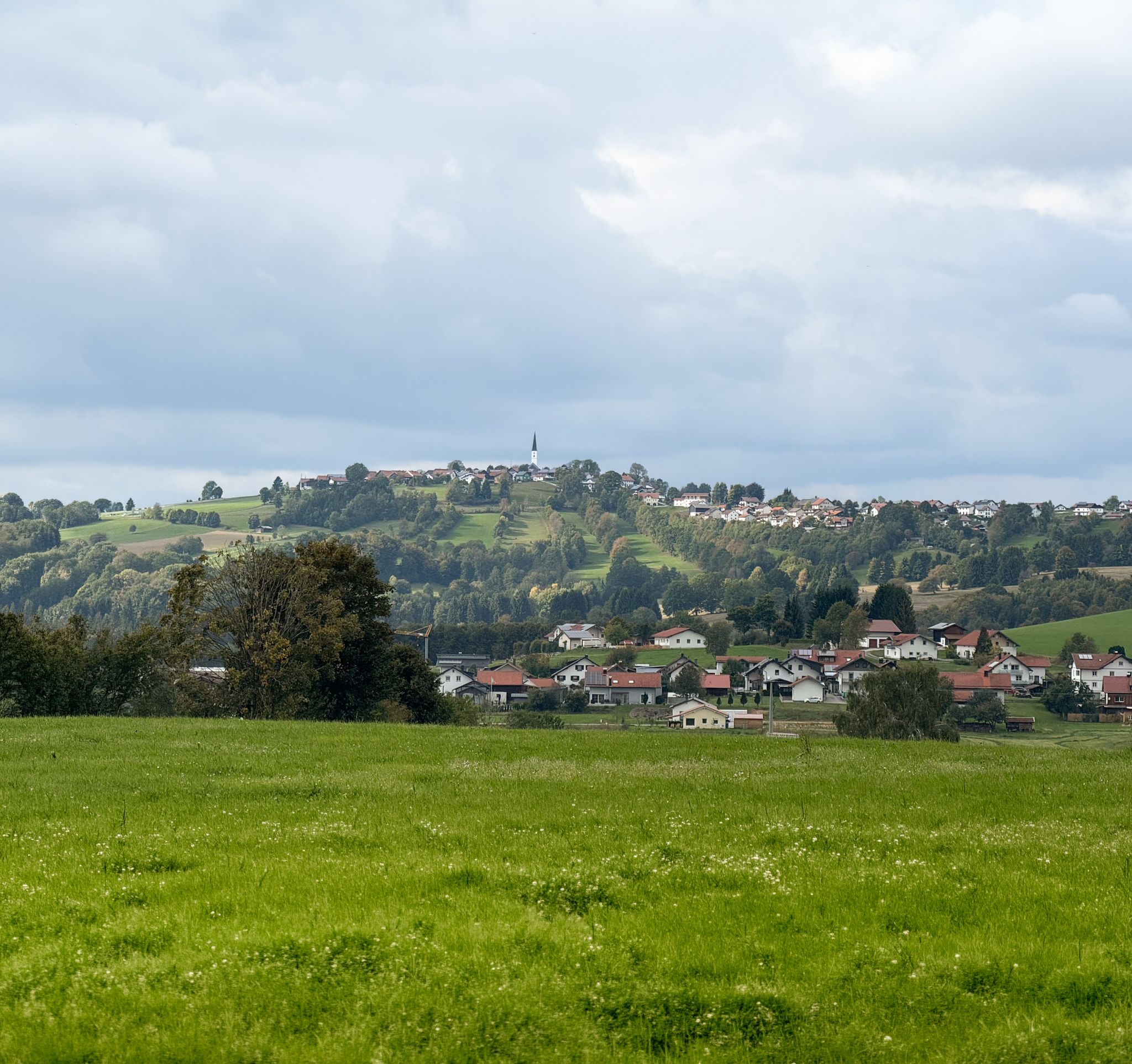
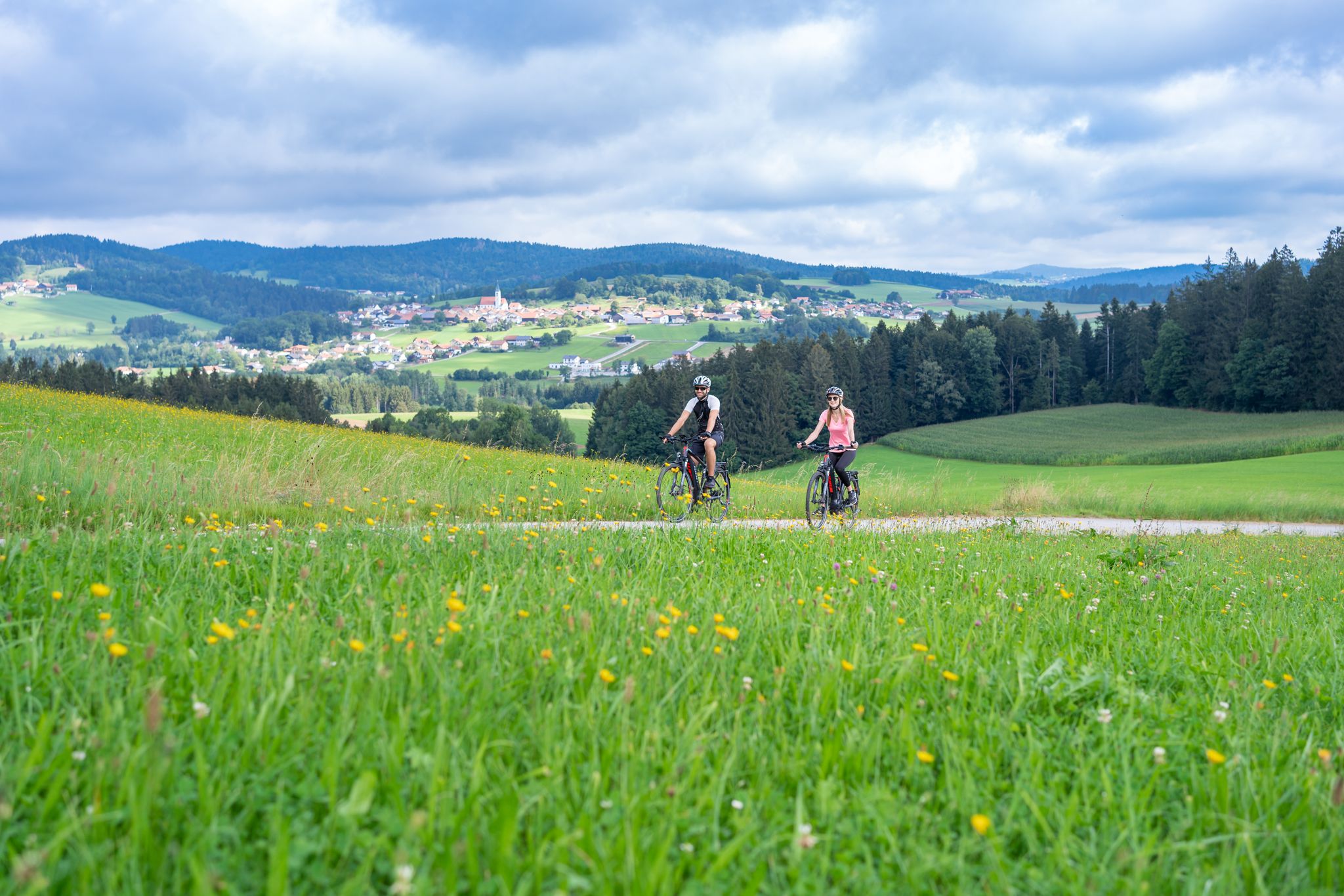

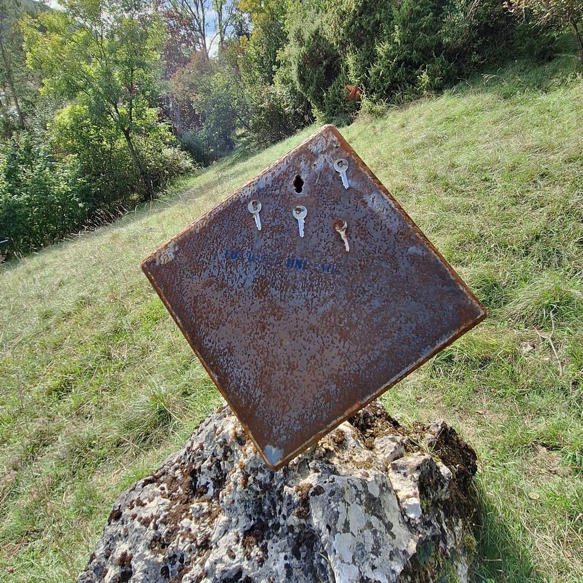


Tips from the Community

Often loose ground, therefore good tires are necessary. After rain also a lot of mud.
0
0
Inclines are moderate, manageable even with an e-bike. Ground is often loose, so good tires are necessary.
0
0

Ilztalbahn station. It runs from 01.05 to 18.10 on Saturdays, Sundays and public holidays four times daily.
0
0

Bike repair shop & hammock. Practical service meets relaxation: Here you can charge your battery and your bike's battery while simultaneously taking a short break in the hammock. An unexpected comfort point on your route, toolbox for minor repairs included.
1
0
At the Zur Emerenz inn, you'll find regional dishes and a tranquil beer garden. The beers from the family-run Hutthurm brewery make this a pleasant and down-to-earth stop. A place where you'll happily linger a few minutes longer. www.wirtshaus-zur-emerenz.de
0
0


There is a charming reservoir very close to Waldkirchen.
0
0
Frequently Asked Questions
How many no-traffic gravel bike trails are available around Röhrnbach?
There are over 30 dedicated no-traffic gravel bike trails around Röhrnbach, offering a wide range of experiences from moderate to difficult. This ensures plenty of options for exploring the beautiful Bavarian Forest away from cars.
Are there any easy no-traffic gravel routes suitable for beginners or families in Röhrnbach?
Yes, while many routes are moderate to difficult, there are a few easier options perfect for beginners or families. These often follow former railway lines or well-maintained paths along river valleys, providing a gentler introduction to gravel biking in the region. Look for routes with lower elevation gain and shorter distances.
What kind of scenery can I expect on the no-traffic gravel bike trails in Röhrnbach?
The trails in Röhrnbach traverse the picturesque Bavarian Forest, offering diverse scenery. You'll encounter expansive forests, rolling hills, and often ride alongside the romantic Ilz River or other streams like the Osterbach. Expect impressive rock formations, wooden bridges, and panoramic views from higher elevations.
Are there any circular no-traffic gravel bike routes in the Röhrnbach area?
Yes, many of the no-traffic gravel bike trails around Röhrnbach are designed as circular routes, allowing you to start and end at the same point. For example, the Adalbert-Stifter Cycle Path – Frauenberg Railway Bridge loop from Waldkirchen offers a challenging circular experience.
What are some interesting landmarks or natural attractions to see along the no-traffic gravel bike trails?
You'll find several captivating sights. The Erlauzwieseler Reservoir is a beautiful spot, and the Watercourse of the Saußbachklamm gorge offers a dramatic natural experience. You can also explore historical sites like Fürsteneck Castle or the Kohlstattbrunn pilgrimage chapel, which provides stunning views.
Are there any trails that follow former railway lines, offering a smoother gravel experience?
Absolutely. The region is known for converting former railway lines into well-maintained cycling routes, which are excellent for gravel biking. The Adalbert-Stifter Cycle Path is a prime example, providing a varied riding experience with bridges and unique rock formations, often with a gentler gradient.
What do other gravel bikers say about the no-traffic trails in Röhrnbach?
The no-traffic gravel bike trails in Röhrnbach are highly rated by the komoot community, with an average score of 4.8 stars. Reviewers often praise the quiet, scenic nature of the routes, the diverse terrain, and the opportunity to immerse oneself in the beautiful Bavarian Forest away from vehicular traffic.
Can I find routes that pass by lakes or reservoirs in the Röhrnbach area?
Yes, several routes incorporate water features. For instance, the Erlauzwieseler Reservoir loop from Waldkirchen takes you around the scenic Erlauzwieseler Reservoir, offering pleasant views and a refreshing atmosphere.
Are there any challenging no-traffic gravel routes for experienced riders?
Definitely. Röhrnbach offers numerous challenging routes with significant elevation changes, perfect for experienced gravel bikers. Trails like the Lake Erlauzwiesel – Erlauzwieseler Reservoir loop from Denkhof feature substantial climbs and descents, providing a demanding and rewarding ride through the hilly terrain of the Bavarian Forest.
Are there any specific trails that offer great viewpoints or panoramic vistas?
Many trails in the rolling hills of the Bavarian Forest provide excellent viewpoints. The pilgrimage church Maria Hilf, for example, is known for its breathtaking panoramic views and can often be incorporated into a ride. Look for routes that ascend to higher elevations for the best vistas.
What is the best time of year to go gravel biking in Röhrnbach?
The spring, summer, and autumn months generally offer the best conditions for gravel biking in Röhrnbach. Spring brings lush greenery, summer provides warm weather for longer rides, and autumn showcases stunning fall foliage. While some trails might be accessible in winter, conditions can be challenging due to snow and ice.
Most popular attractions around Röhrnbach

Get inspired with the komoot mobile app


Explore more
Browse the best Gravel rides in other regions.
