The best traffic-free bike rides around Haidmühle
4.1
(10)
35
riders
4
rides
Gravel biking around Haidmühle offers an extensive network of no traffic gravel bike trails within the Bavarian Forest, bordering the Czech Republic and Austria. The region is characterized by dense forests, expansive mountain meadows, and significant elevation changes provided by hills like the Haidel (1,167 m). Riders can explore diverse landscapes including river valleys, remnants of historical timber transport routes, and unique high moor environments. This area provides varied terrain suitable for off-road cycling, minimizing paved road sections.
Best no traffic gravel bike trails around Haidmühle
- The most popular no traffic gravel bike trail is Bučina Border Crossing – Hammerklause Pond loop from Bischofsreut, a 29.5 miles (47.4 km) trail that takes 3 hours 1 minute to complete. This difficult route offers challenging climbs and scenic views across the border region.
- Another top favourite among local gravel bikers is Teufelsbach Trail – Reschbachtal Stream loop from Freyung, a difficult 32.3 miles (51.9 km) path. This route winds through varied forest and meadow terrain, featuring significant elevation changes.
- Local gravel bikers also love the Frauenberg Railway Bridge – Bischofsreut Church loop from Bischofsreut, a 14.6 miles (23.5 km) trail leading through the local countryside, often completed in about 1 hour 34 minutes.
- Gravel biking around Haidmühle is defined by dense forests, blooming mountain meadows, and river valleys, with opportunities for cross-border adventures into the Czech Republic. The network offers options for different ability levels, from technically easy paths to more challenging routes with significant climbs.
- The routes in Haidmühle are highly rated by the komoot community with an average score of 4.1 stars from more than 10 reviews. More than 40 gravel bikers have used komoot to explore Haidmühle's varied terrain.
Last updated: June 27, 2026
4.0
(2)
17
riders
47.4km
03:02
830m
830m
Hard gravel ride. Very good fitness required. Mostly paved surfaces. Suitable for all skill levels.
4.0
(2)
8
riders
51.9km
03:19
790m
800m
Hard gravel ride. Very good fitness required. Mostly paved surfaces. Suitable for all skill levels.

Sign up for free
4.7
(3)
4
riders
23.5km
01:34
360m
360m
Moderate gravel ride. Good fitness required. Mostly paved surfaces. Suitable for all skill levels.
4.0
(1)
1
riders
43.0km
02:47
840m
840m
Hard gravel ride. Very good fitness required. Mostly paved surfaces. Suitable for all skill levels.
3.0
(1)
2
riders
20.9km
01:22
310m
310m
Moderate gravel ride. Good fitness required. Mostly paved surfaces. Suitable for all skill levels.
Our route recommendations are based on thousands of hikes, rides, and runs completed by other people on komoot.
Start today with a free account
Your next adventure awaits.
Login or Signup
Popular around Haidmühle

The Goldsteig – 38 stages between Upper Palatinate and Passau

Goldsteig — The best routes for long distance hiking in Eastern Bavaria

Triathlon around Germany
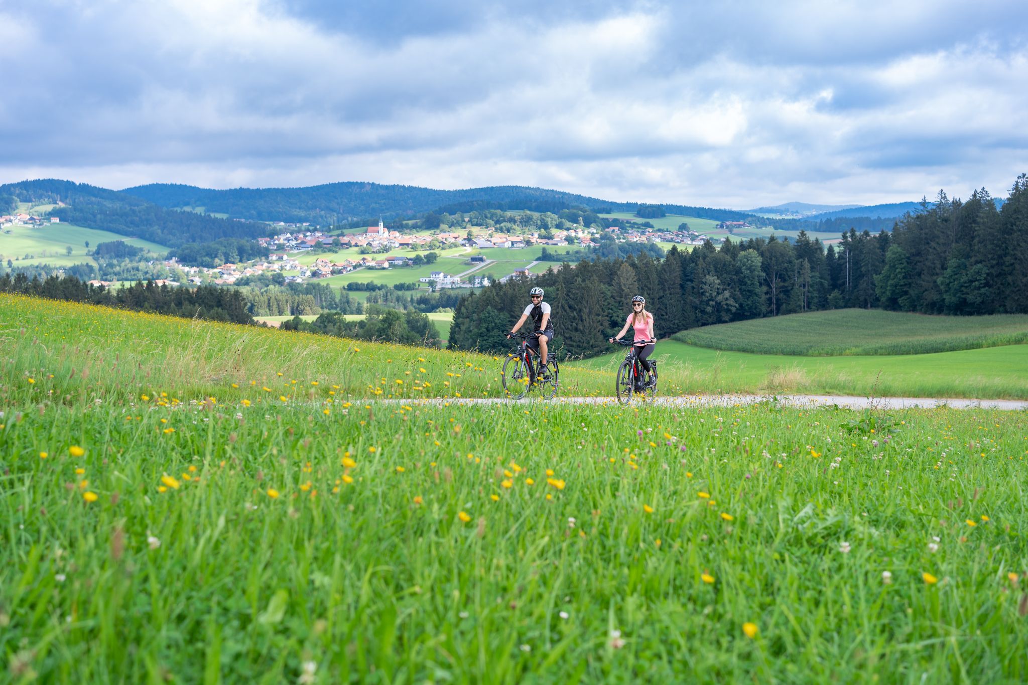
Radtouren zwischen Donau und Moldau - unterwegs im Bayerischen Wald
Traffic-free bike rides around Haidmühle
Traffic-free bike rides around Haidmühle
Other adventures around Haidmühle


Tips from the Community

Strictly speaking, it is not the source but the origin of the Cold Vltava
0
0

A very beautiful lake with a cozy place to stop for refreshments nearby – the Almberg Alpe.
0
0

beautiful wooden bridge at the hiking parking lot
0
0


Former border installations.
1
0
Memorial site for the former border.
1
0
very beautiful village center
0
0
Frequently Asked Questions
How many no-traffic gravel bike trails are available around Haidmühle?
There are currently 5 curated no-traffic gravel bike routes around Haidmühle in this guide. These routes are specifically chosen to offer a peaceful cycling experience away from vehicular traffic, allowing you to fully immerse yourself in the natural beauty of the Bavarian Forest.
Are there any easy or beginner-friendly no-traffic gravel routes in Haidmühle?
While many routes in the region offer varied terrain, the Frauenberg Railway Bridge – Bischofsreut Church loop from Bischofsreut is a moderate option that is shorter and has less elevation gain compared to others, making it a good starting point for those new to gravel biking. The region also features parts of the Adalbert-Stifter-Radweg, known for its technically easy sections along old railway lines.
What kind of scenic viewpoints can I expect on these traffic-free gravel trails?
The trails around Haidmühle offer numerous opportunities for breathtaking views. You can find panoramic vistas from the Haidel Observation Tower, which provides extensive views across the Bavarian-Bohemian border regions. The Dreisessel Massif, with its distinctive Dreisessel Rock and Stone Sea at Plöckenstein, also offers stunning natural spectacles.
Are there any circular or loop gravel routes without traffic?
Yes, all the routes featured in this guide are circular loops, designed to bring you back to your starting point without retracing your steps. For example, the Bučina Border Crossing – Hammerklause Pond loop from Bischofsreut offers a substantial loop through diverse landscapes.
Can I find routes that cross borders into the Czech Republic or Austria?
Haidmühle's unique location at the border triangle of Germany, the Czech Republic, and Austria means many routes offer cross-border experiences. The Bučina Border Crossing – Hammerklause Pond loop from Bischofsreut and the Schwarzenberg border crossing – Klaffer Lake loop from Lackenhäuser are excellent examples, allowing you to explore the landscapes of neighboring countries on your gravel bike.
What is the best time of year for gravel biking in Haidmühle?
The spring, summer, and autumn months generally offer the best conditions for gravel biking in Haidmühle. Spring brings blooming meadows, summer provides warmth for swimming in places like Kreuzbachsee, and autumn showcases vibrant foliage. While some trails might be accessible in winter, conditions can be challenging due to snow and ice, so checking local weather is always recommended.
Are there any historical or cultural points of interest along these routes?
Absolutely. The region is rich in history. You can encounter remnants of historical timber transport activities, such as old drift lakes and canals. The historic "Goldener Steig" (Golden Path), an ancient salt trade route, is integrated into some cycling itineraries, offering a glimpse into the region's past. The Tripoint Monument (Germany–Austria–Czech Republic) is also a significant landmark.
Where can I find parking for these traffic-free gravel trails?
Many of the routes start from villages like Bischofsreut, Freyung, Lackenhäuser, or Philippsreut, where public parking is typically available. It's advisable to check specific starting points for designated parking areas, often near trailheads or village centers, to ensure convenient access to your chosen route.
What do other gravel bikers enjoy most about the trails around Haidmühle?
The area is highly rated by the komoot community, with an average score of 4.1 stars. Reviewers often praise the extensive network of quiet forest and gravel paths, the stunning natural beauty of the Bavarian Forest, and the unique cross-border cycling opportunities that allow for diverse and adventurous rides away from traffic.
Are there places to eat or rest along the gravel bike routes?
Yes, the region offers various huts and inns where you can take a break and refuel. The Dreisesselhaus Mountain Inn is a popular spot, and you might also find smaller snack bars or traditional farmsteads like Michelklause Farmstead and Pond along some routes, especially in villages or at popular viewpoints.
Can I expect to see any unique natural features or wildlife on these trails?
The Haidmühle area, bordering the Bavarian Forest National Park, is rich in natural diversity. You'll cycle through vast forests, blooming mountain meadows, and past significant water features like the Kalte Moldau river. Unique environments such as the Haidfilz high moor near Schnellenzipf are home to diverse flora, including orchids, and wildlife like otters, offering a chance to connect with nature.
Most popular routes around Haidmühle
Most popular attractions around Haidmühle

Get inspired with the komoot mobile app


Explore more
Browse the best Gravel rides in other regions.
