The best traffic-free bike rides around Villingendorf
4.5
(59)
409
riders
15
rides
No traffic touring cycling routes around Villingendorf are set amidst rolling hills and verdant meadows, with the Neckar River flowing nearby. The region offers diverse terrain, from gentle landscapes to options with significant ascents and descents, catering to various fitness levels. The area benefits from its proximity to the Neckar River, providing picturesque views, and includes the ecological richness of the Schlichemtal Nature Reserve. This natural setting, combined with a comprehensive network of cycling routes, makes Villingendorf an appealing destination…
Last updated: July 11, 2026
4.3
(28)
93
riders
Hard bike ride. Very good fitness required. Mostly paved surfaces. Suitable for all skill levels.
12
riders
31.5km
01:59
290m
290m
Moderate bike ride. Good fitness required. Mostly paved surfaces. Suitable for all skill levels.

Sign up for free
13
riders
18.5km
01:20
210m
210m
Moderate bike ride. Good fitness required. Mostly paved surfaces. Suitable for all skill levels.
5.0
(1)
7
riders
Moderate bike ride. Good fitness required. Mostly paved surfaces. Suitable for all skill levels.
8
riders
13.0km
00:52
130m
130m
Easy bike ride. Great for any fitness level. Mostly paved surfaces. Suitable for all skill levels.
Get access to more routes and recommendations from other explorers.
Sign up for free
Already have an account?
Our route recommendations are based on thousands of hikes, rides, and runs completed by other people on komoot.
Start today with a free account
Your next adventure awaits.
Login or Signup
Popular around Villingendorf
Tips from the Community

The restaurant is currently (October 2025) closed.
0
0

Open today on Sunday, it was busy. The aroma of the grilled red wine was just too tempting.
8
0


Even without a bike, it's worth a trip - especially with children
0
0

Always worth a trip and also ideal as a stopover.
0
0
Zoo and Roman fort on the outskirts of town. You can also get refreshments here if you need them.
0
0

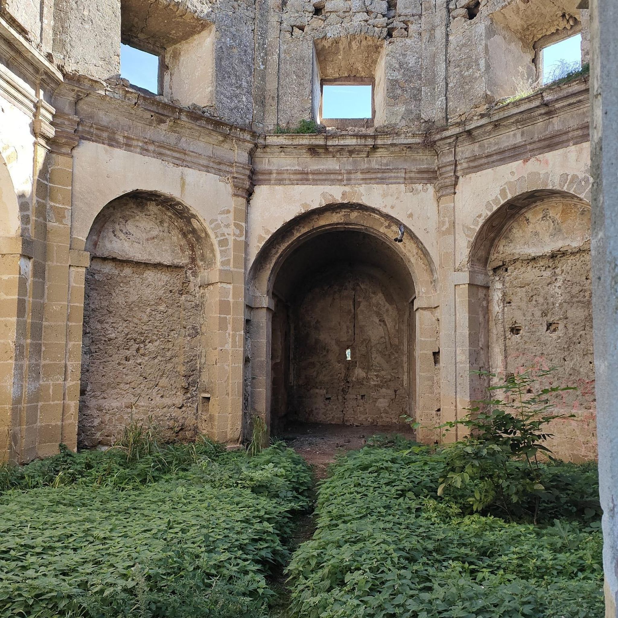
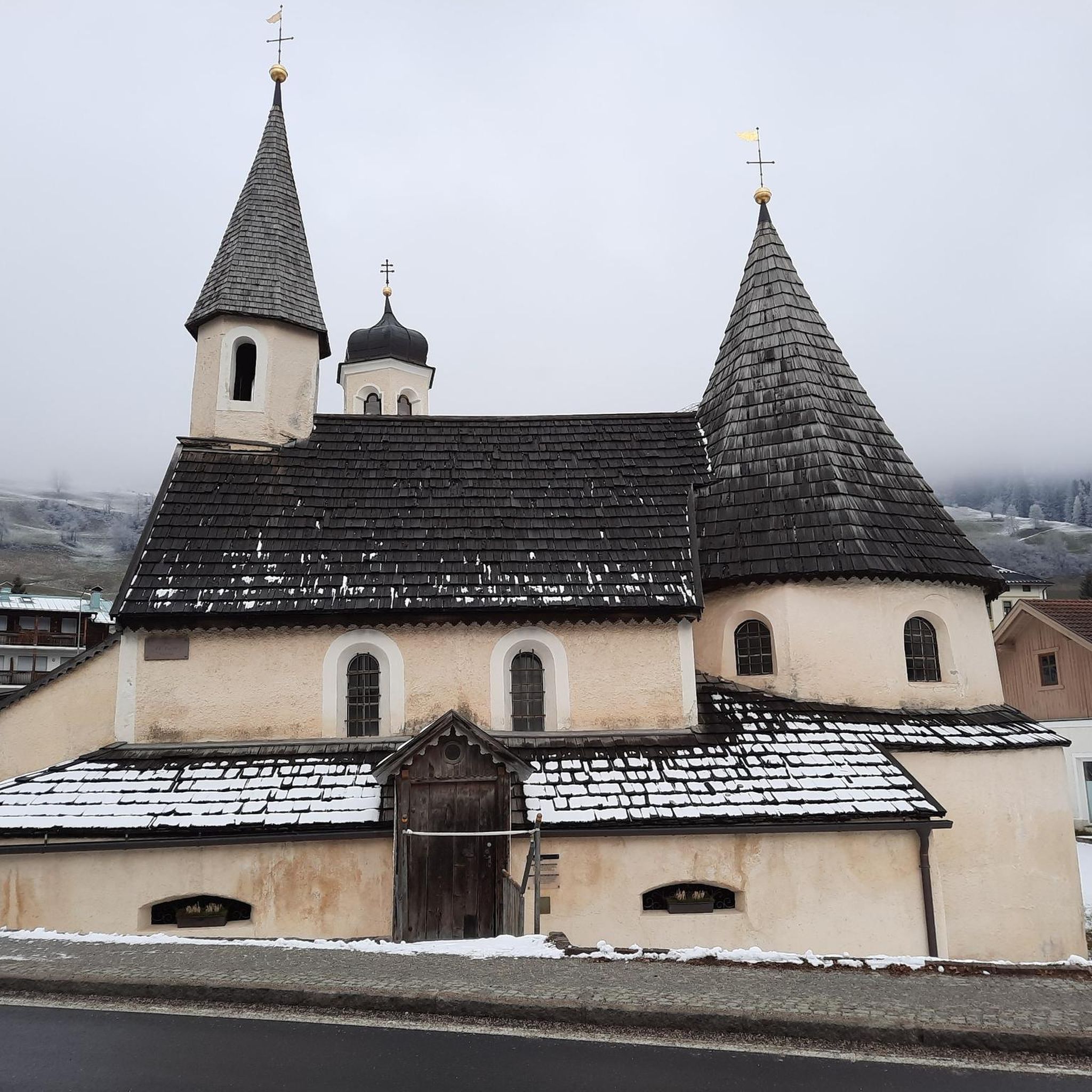
Name: Fluorner hiking trail - small circular tour - Citizens ACTIVE Fluorn. The tour is 8.3 km long, takes about 2 hours, climbs 70m and is doable for fit hikers with good footwear. You can see the Heimbach floodplains, historic buildings, beautiful views of the Swabian Alb and the Black Forest, as well as the TK test tower in Rottweil, the highest visitor platform in Germany at over 230 meters. General: The path through the Heimbach floodplains and above the Auenhalde can get very wet due to tall grass and in damp weather. Make sure you wear waterproof footwear. The tour is almost completely signposted with a red hiking sign with the inscription: Fluorner hiking trail - small circular tour 7 km - Citizens ACTIVE Fluorn. The tour also forms an asymmetrical figure of eight and can therefore possibly be split into 2 shorter loops. The first part of the Heimbachaue circuit would then be about 3 km long, the second Antonius Chapel would then be about another 5 km.
2
0
Frequently Asked Questions
How many no-traffic touring cycling routes are available around Villingendorf?
There are 16 dedicated no-traffic touring cycling routes around Villingendorf. These routes cater to various skill levels, with 5 easy, 10 moderate, and 1 difficult option, ensuring a suitable ride for almost everyone.
What kind of terrain can I expect on these traffic-free cycling routes?
The routes around Villingendorf offer diverse terrain, from gentle rides through the 'Gäulandschaft' (a gently rolling, fertile landscape) to more challenging sections with ascents and descents. You'll find picturesque paths along the Neckar River and through the varied landscapes of the Schlichemtal Nature Reserve, which features impressive rock formations and forests.
Are there any easy, family-friendly no-traffic routes suitable for beginners?
Yes, Villingendorf offers several easy, traffic-free routes perfect for families and beginners. An excellent option is the "Hochwaldstube – View over Herrenzimmern loop from Villingendorf," which is 12.9 km long with moderate elevation, providing a pleasant and accessible cycling experience.
What are some natural features or landmarks I can see along the routes?
Many routes offer scenic views and pass by notable natural features. You can explore the ecological richness of the Schlichemtal Nature Reserve, including the deeply cut Schlichem Gorge. Other highlights include the Schenckenberg Bridge with a View of the Neckar and the historic Rottweil Old Town, which is accessible from some routes.
Are there any circular no-traffic touring cycling routes?
Yes, many of the no-traffic routes around Villingendorf are designed as circular loops, allowing you to start and end at the same point. For example, the "View of Herrenzimmern loop from Villingendorf" is a moderate 18.5 km circular tour, offering a convenient and enjoyable ride.
What is the best time of year to go touring cycling in Villingendorf?
The most popular months for cycling in Villingendorf are June and August, when the weather is generally favorable. However, the diverse landscapes, including riverbanks and forests, make it enjoyable throughout spring, summer, and early autumn. Always check local weather conditions before heading out.
Where can I find parking for these traffic-free cycling routes?
Villingendorf, being part of a region with extensive cycling infrastructure, typically offers parking options near popular trailheads or village centers. While specific parking lots for each route aren't listed, general parking is usually available in Villingendorf itself, from where you can easily access the starting points of many tours.
Are there any places to eat or rest along the no-traffic routes?
Yes, you can find places to rest and eat. For instance, the Bettlinsbad Country Inn is a highlight in the area. Additionally, there are facilities like the Harzwaldhütte Playground & Barbecue Area and the Barbecue area at the Herrenzimmern ruins, which provide spots for a break or a picnic.
What do other touring cyclists enjoy most about cycling in Villingendorf?
The area is highly rated by the komoot community, with an average score of 4.6 stars. Reviewers often praise the region's diverse landscapes, the well-developed cycling network, and the peaceful, traffic-free nature of the routes, which allow for an immersive outdoor experience.
Can I reach the starting points of these routes using public transport?
Villingendorf is situated within Baden-Württemberg, a state with a well-connected public transport network. While direct access to every trailhead might vary, Villingendorf itself is generally accessible by public transport, allowing you to reach the town and then cycle to your chosen route's starting point. It's advisable to check local bus or train schedules for specific connections.
What is the longest no-traffic touring cycling route available?
One of the longer no-traffic touring cycling routes is the "Roman Fort Waldmössingen – View of Herrenzimmern loop from Villingendorf." This moderate route spans approximately 46.7 km and includes about 423 meters of elevation gain, offering a substantial ride through varied scenery.
Most popular routes around Villingendorf
Most popular attractions around Villingendorf

Get inspired with the komoot mobile app


Explore more
Browse the best Cycling routes in other regions.
