The best traffic-free bike rides around Stadland
4.5
(193)
2,382
riders
45
rides
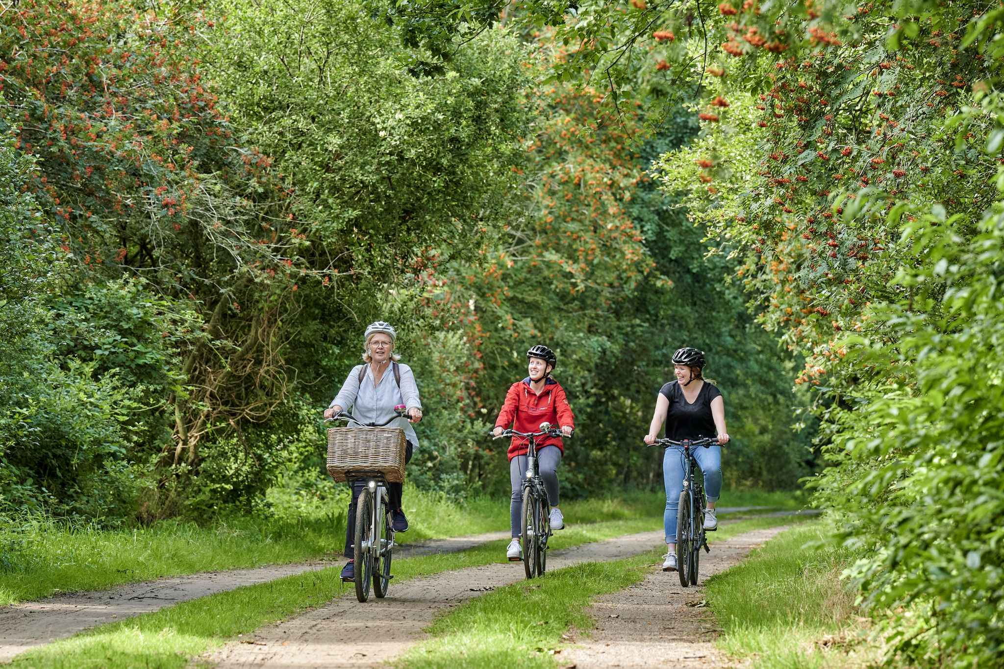
No traffic road cycling routes around Stadland are characterized by flat marshland, moor, and geest areas, providing extensive open views. The region is situated at the mouth of the Weser River and borders the North Sea, featuring prominent dike landscapes. This terrain offers gentle gradients, making it suitable for road cyclists seeking routes with minimal elevation changes. The area is integrated into the Niedersächsisches Wattenmeer National Park, a UNESCO World Heritage site, offering unique natural scenery.
Best no traffic road…
Last updated: September 30, 2026
5.0
(2)
29
riders
Moderate road ride. Good fitness required. Some segments of this route may be unpaved and difficult to ride.
9
riders
Moderate road ride. Good fitness required. Some segments of this route may be unpaved and difficult to ride.

4.0
(2)
18
riders
Easy road ride. Great for any fitness level. Mostly well-paved surfaces and easy to ride.
13
riders
48.7km
02:06
50m
50m
Moderate road ride. Good fitness required. Some segments of this route may be unpaved and difficult to ride.
4.0
(2)
16
riders
Easy road ride. Great for any fitness level. Mostly well-paved surfaces and easy to ride.
Get access to more routes and recommendations from other explorers.
Already have an account?
Our route recommendations are based on thousands of hikes, rides, and runs completed by other people on komoot.
Start today with a free account
Your next adventure awaits.

Other adventures around Stadland

Tips from the Community

Cycling at a reasonable speed is allowed in the pedestrian zone, even if Komoot doesn't believe it 😉
0
0

Very good well-maintained cycle paths, easily manageable with a gravel bike. Good accommodation along the cycle path
0
0

Very nice cycle path Achtern Diek
0
0

The Huntesperrwerk goes down every hour from 7 am to 8 pm, so you can drive across.
0
0

Stop and take a look at the confluence. From up here, you have a good view.
1
0
Very beautiful monument with lots of information
2
0

Here you can eat delicious fish sandwiches.
1
0

During the day, every hour on the hour, the roadway is lowered for a few minutes, allowing you to walk across it. Good timing is required, or you may need to plan for a longer wait.
0
0
Frequently Asked Questions
What kind of terrain can I expect on no-traffic road cycling routes in Stadland?
Stadland is characterized by its flat marshland, moor, and geest areas, providing wide-open views and gentle terrain. Many routes run along dikes, offering panoramic views of the Weser River and the surrounding green landscapes. The flatness means cycling is largely without significant inclines, making it ideal for relaxed rides.
Are the no-traffic road cycling routes in Stadland suitable for beginners or families?
Yes, the flat topography and extensive network of dedicated cycle paths make Stadland an excellent destination for beginners and families. The routes are largely without significant inclines, ensuring an enjoyable experience for all skill levels. For an easy option, consider the Seefelder Mill – Sehestedt Beach loop from Schwei-West, which is just over 21 km long.
How extensive is the network of traffic-free cycling paths in Stadland?
Stadland boasts a well-developed and signposted network of approximately 220 kilometers of cycle paths. These paths often run along dikes, minimizing interaction with motorized traffic and enhancing safety and enjoyment for road cyclists.
What is the typical difficulty level of the no-traffic road cycling routes in Stadland?
The routes in Stadland are generally accessible. Out of the 13 available no-traffic road cycling routes, 6 are rated as easy and 7 as moderate. The flat terrain ensures that even moderate routes are manageable for most road cyclists.
Do any of the no-traffic road cycling routes in Stadland connect to longer distance cycle paths?
Yes, Stadland is integrated into major long-distance cycling routes. You can access sections of the renowned Weser Cycle Path, the North Sea Cycle Route, and the regional German Siel Route. These connections offer opportunities for extended tours beyond the local area.
What are some notable landmarks or natural features I might see along the no-traffic road cycling routes?
While cycling, you'll encounter the omnipresent dikes, offering expansive views of the flat marshland and waterways. The region is also part of the Niedersächsisches Wattenmeer (Lower Saxony Wadden Sea) National Park, a UNESCO World Heritage site. You might also pass by cultural sites like the Varel Harbour or the Burhave Beach.
Are there any circular no-traffic road cycling routes available in Stadland?
Yes, many of the no-traffic road cycling routes in Stadland are designed as loops, allowing you to start and end at the same point. An example is the Weser River Mouth Monument loop from Kleinensiel, which covers nearly 49 km.
What do other road cyclists enjoy most about cycling in Stadland?
The area is highly rated by the komoot community, with an average score of 5.0 stars from 10 ratings. Reviewers often praise the quiet, traffic-free nature of the routes, the expansive views along the dikes, and the flat terrain that makes for enjoyable, relaxed cycling.
Where can I find parking for these no-traffic road cycling routes?
Given the region's focus on cycling tourism, parking is generally available in the towns and villages that serve as common starting points for routes, such as Kleinensiel or Rodenkirchen. Many routes are loops, making it convenient to park your car and begin your ride.
Can I reach the starting points of these routes using public transport?
Stadland has public transport options, including bus services, that connect its various towns and villages. While direct access to every trailhead might vary, you can often reach central locations like Rodenkirchen or Kleinensiel by public transport, from where you can start your cycling adventure.
Are there any longer no-traffic road cycling routes for more experienced riders?
While the terrain is generally flat, there are longer routes for those seeking more distance. For example, the Lemwerder–Vegesack Ferry – Westergate Dyke Street loop from Rodenkirchen (Oldb) is a moderate route spanning over 75 km, offering a good challenge without significant elevation.
What is the best time of year to enjoy no-traffic road cycling in Stadland?
The spring, summer, and early autumn months generally offer the most pleasant weather for cycling in Stadland. These seasons provide milder temperatures and longer daylight hours, ideal for enjoying the open landscapes and coastal breezes. Always check the local forecast before heading out.
Most popular attractions around Stadland

Get inspired with the komoot mobile app


Explore more
Browse the best Road cycling routes in other regions.
