The best hikes from bus stations around Oberwiesenthal
4.6
(4256)
16,516
hikers
144
hikes
Hiking around Oberwiesenthal, Germany's highest city, offers diverse landscapes within the Ore Mountains (Erzgebirge). The region is characterized by rolling hills, dense forests, and expansive plateaus, with the Fichtelberg (1,215 meters) as a prominent feature. Hikers can explore green valleys, discover streams, and experience the unique flora and fauna of the Erzgebirge/Vogtland Nature Park. The proximity to the Czech border also allows for cross-border hiking opportunities to peaks like Klínovec.
Best bus station hiking trails around Oberwiesenthal
- The most popular…
Last updated: July 11, 2026
4.8
(192)
863
hikers
9.85km
02:55
290m
290m
Moderate hike. Good fitness required. Easily-accessible paths. Suitable for all skill levels.
4.8
(37)
212
hikers
Moderate hike. Good fitness required. Easily-accessible paths. Suitable for all skill levels.

Sign up for free
4.6
(92)
289
hikers
19.2km
05:45
570m
570m
Hard hike. Very good fitness required. Mostly accessible paths. Sure-footedness required.
4.8
(270)
976
hikers
9.71km
02:35
100m
100m
Moderate hike. Good fitness required. Easily-accessible paths. Suitable for all skill levels.
4.7
(54)
240
hikers
10.6km
02:57
200m
200m
Moderate hike. Good fitness required. Easily-accessible paths. Suitable for all skill levels.
Get access to more routes and recommendations from other explorers.
Sign up for free
Already have an account?
Our route recommendations are based on thousands of hikes, rides, and runs completed by other people on komoot.
Start today with a free account
Your next adventure awaits.
Login or Signup
Popular around Oberwiesenthal
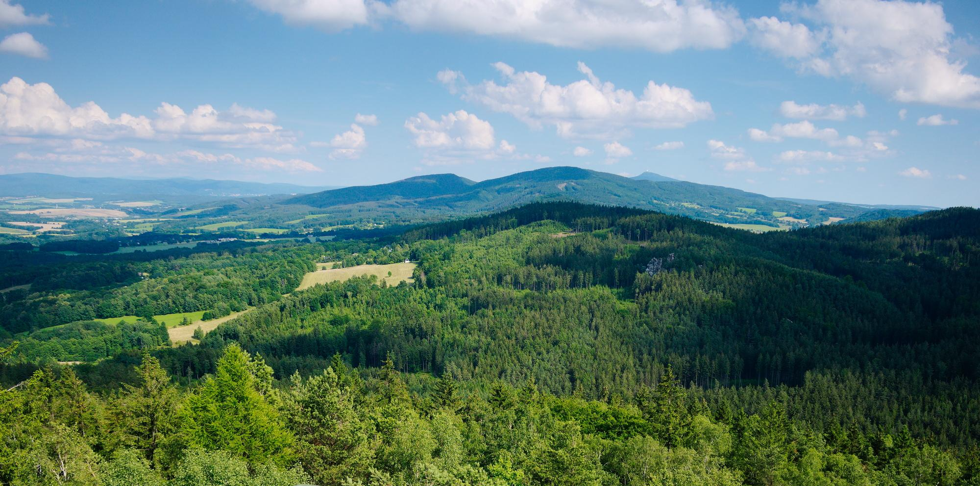
The National Natural Landscapes in Saxony
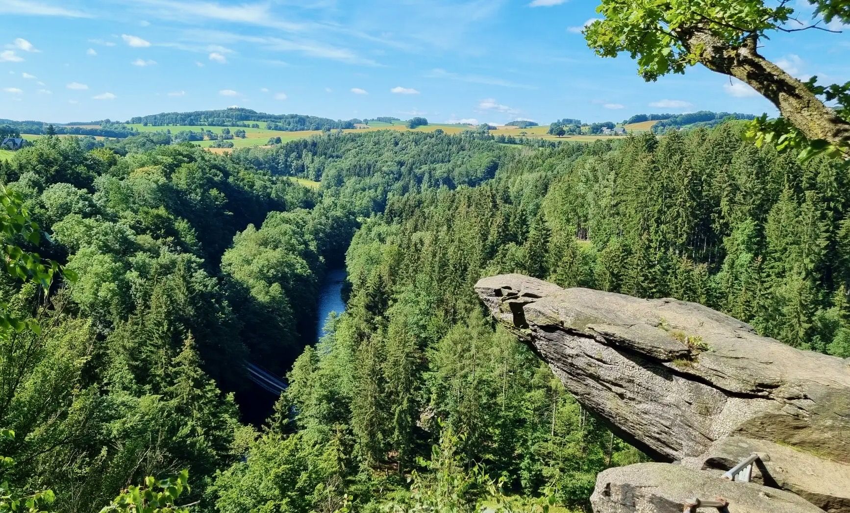
From Fichtelberg to Mulde - The Zschopautal Hiking Trail
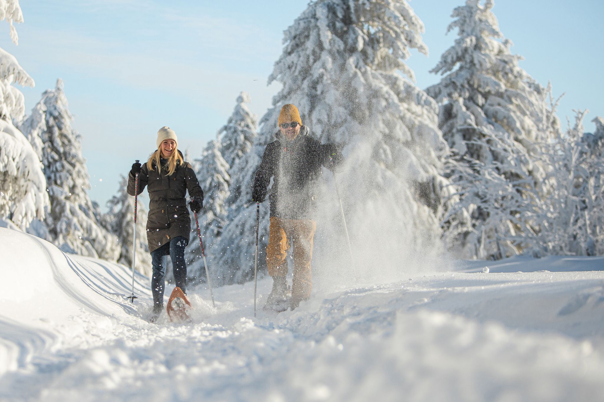
Glittering slopes and forests - winter hiking in the Ore Mountains

History meets nature – Erzgebirge-Vogtland Ridge Trail

Lowest to Highest (L2H) in Germany
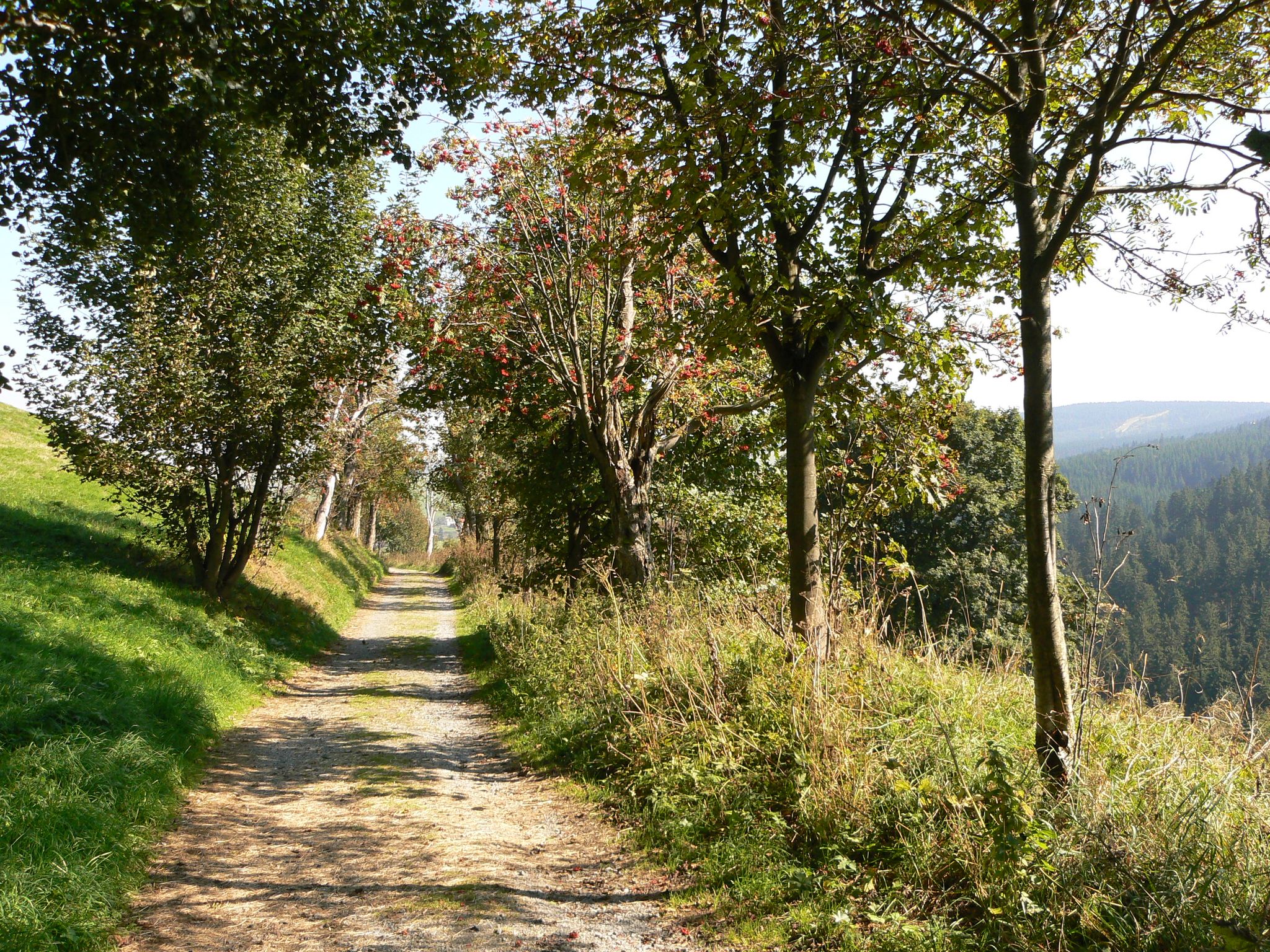
The Anton-Günther-Trail — a long weekend in the Ore Mountains

The Stoneman Trail in the Ore Mountains

MTB adventures in Saxony

Pure road and gravel riding joy through Saxony

Conquer the Stoneman Miriquidi ROAD in 3 days - The Bronze Tour
Other adventures around Oberwiesenthal


Tips from the Community

Always an experience, such a steam locomotive.
0
0
Nice shelter and picnic spot.
0
0

Who is waiting there in the woods? The Sandman! 🪵🌙 This wonderfully carved wooden statue by the wayside is an absolute eye-catcher and a perfect photo opportunity on the Christkind-Runde. Especially when motivation wanes, familiar figures like this immediately reawaken the spirit of discovery in the kids. A wonderful little stopover to catch your breath! (And for us parents, the perfect opportunity to give the winking hint that after this great hike, everyone will definitely sleep well tonight 😉). Geprüft von @wanderfamilie.erzgebirge
0
0

The hut is used as a rest stop during horse-drawn sleigh rides.
1
0

The hut is okay. A bit small and dark, but it offers protection from the weather. Inside there are two benches and a trash can; the floor is fine gravel. Unfortunately, it smells of urine. If you have time before the thunderstorm, I recommend the Jägersteig hut just under 2 km south.
2
0

The Fichtelberg near Oberwiesenthal in the Erzgebirge district is, at 1214.79 m above sea level, the highest mountain in Saxony. It was also the highest mountain in East Germany (GDR). Together with the nearby Klínovec (Keilberg; 1243.7 m above sea level) on the Czech side, it forms the most important winter sports center in the Erzgebirge. Source and further information: https://de.m.wikipedia.org/wiki/Fichtelberg_(Erzgebirge)
3
0


Signpost at the Vierenstraße (Fichtelgebirgsbahn) stop
0
1
Frequently Asked Questions
How many bus station hiking trails are available around Oberwiesenthal?
There are nearly 150 hiking trails accessible directly from bus stations around Oberwiesenthal. These routes cater to various fitness levels, with 55 easy, 84 moderate, and 10 difficult options.
What is the best time of year to hike from Oberwiesenthal's bus stations?
The spring and autumn months are particularly vibrant for hiking in Oberwiesenthal. The low mountain range of the Erzgebirge offers picturesque landscapes with rolling hills and dense forests, making these seasons ideal for enjoying the natural beauty.
Are there any family-friendly hiking routes accessible by bus?
Yes, many routes are suitable for families. The region offers diverse terrain, from gentle paths through green valleys to more adventurous trails. Look for routes marked as 'easy' to find the most family-friendly options.
Can I bring my dog on these bus-accessible hiking trails?
The Ore Mountains are generally very dog-friendly, with many trails welcoming well-behaved dogs. Always keep your dog on a leash, especially in nature reserves or near wildlife, and ensure you carry enough water for both of you.
Are there any circular hiking routes starting from a bus station?
Yes, many of the trails are designed as circular routes, allowing you to start and end your hike at the same bus station. An example is the View of Oberwiesenthal – Base camp Fichtelberg loop from Oberwiesenthal, a moderate 10.5 km hike.
What kind of natural features or landmarks can I expect to see on these hikes?
The trails offer diverse natural beauty, including dense forests, babbling brooks, and expansive plateaus. You might encounter highlights such as the Fichtelberg summit, Germany's highest city, or the unique moorland environment of the Božídarské Rašeliniště Boardwalk. The Eispinge (Ice Pit) is another interesting natural monument.
Are there any cross-border hiking opportunities from Oberwiesenthal bus stations?
Yes, Oberwiesenthal's proximity to the Czech Republic allows for cross-border hikes. You can explore routes that lead to places like Boží Dar, offering a unique blend of German and Czech landscapes. The Klínovec TV Tower – Klinovec Summit Buildings loop from LSG Fichtelberg is a moderate 10.8 km option that takes you towards the higher peak of Klínovec.
Where can I find refreshments or a place to rest along the trails?
Many routes pass by traditional huts and cabins where you can take a break and enjoy refreshments. The Fichtelberghaus, located at the summit of Fichtelberg, is a popular spot offering stunning views and hospitality.
What do other hikers say about the bus station trails in Oberwiesenthal?
The komoot community highly rates the trails around Oberwiesenthal, with an average score of 4.6 out of 5 stars from nearly 4,000 ratings. Hikers often praise the well-maintained paths, the stunning panoramic views from peaks like Fichtelberg, and the peaceful atmosphere of the dense forests.
Are there any challenging hikes accessible by bus for experienced hikers?
Yes, for experienced hikers looking for a challenge, there are 10 difficult routes available. An example is the Fichtelbergbahn Photo Spot – Gifthüttenstraße Shelter loop from Oberwiesenthal, a demanding 19.2 km trail with significant elevation changes.
Can I see any historical or cultural sights while hiking from a bus station?
Yes, the region's rich history is often visible along the trails. You might discover historic mines, traditional wooden houses, and other cultural landmarks that reflect the Ore Mountains' past. The 'Bimmelbahn' Adventure Trail, running parallel to the historic narrow-gauge Fichtelberg Railway, is a great example of combining nature with local culture.
Most popular routes around Oberwiesenthal
Most popular attractions around Oberwiesenthal

Get inspired with the komoot mobile app


Explore more
Browse the best Hikes in other regions.
