The best hikes from bus stations around Feuchtwangen
4.4
(2503)
10,220
hikers
109
hikes
Bus station hiking trails around Feuchtwangen traverse a landscape characterized by the scenic Sulzach River Valley, ancient forests, and tranquil meadows. The region is nestled in Middle Franconia, Germany, offering diverse terrain for outdoor activities. Hikers can explore areas like the Dentleiner Forst and the Wüstenbachtal, with connections to the larger Frankenhöhe Nature Park. This varied environment provides a picturesque backdrop for numerous routes.
Best bus station hiking trails around Feuchtwangen
- The most popular bus station hiking route is Wöhrweiher…
Last updated: July 11, 2026
4.7
(12)
54
hikers
15.8km
04:17
220m
220m
Moderate hike. Good fitness required. Easily-accessible paths. Suitable for all skill levels.
4.8
(11)
50
hikers
13.8km
03:44
180m
180m
Moderate hike. Good fitness required. Easily-accessible paths. Suitable for all skill levels.

Sign up for free
4.0
(15)
45
hikers
Easy hike. Great for any fitness level. Easily-accessible paths. Suitable for all skill levels.
4.0
(6)
23
hikers
Moderate hike. Good fitness required. Easily-accessible paths. Suitable for all skill levels.
4.0
(3)
18
hikers
10.9km
02:56
140m
140m
Moderate hike. Good fitness required. Easily-accessible paths. Suitable for all skill levels.
Get access to more routes and recommendations from other explorers.
Sign up for free
Already have an account?
Our route recommendations are based on thousands of hikes, rides, and runs completed by other people on komoot.
Start today with a free account
Your next adventure awaits.
Login or Signup

Other adventures around Feuchtwangen


Tips from the Community

The castle is privately owned; only the steward's house has been restored. The chapel is used by the Protestant parish. The farm buildings are dilapidated.
0
0

Very beautiful area
0
0

Beautifully situated ponds also invite you to take a short rest or to bring your own snack.
0
0

The **Ameisenbrücke** is an interesting part of the town of **Feuchtwangen** in the district of **Ansbach**, which is located in **Middle Franconia, Bavaria**. Here is some interesting information about this place: 1. **Location**: - Ameisenbrücke is located in the **district of Feuchtwangen** and has an altitude of about **449–463 m above sea level**. 2. **Inhabitants**: - The town has a very small population, with only **18 inhabitants** (as of 2013). 3. **Postal code and area code**: - The **postal code** for Ameisenbrücke is **91555** and the **area code** is **09852**. 4. **Origin of the name**: - The origin of the name “Ameisenbrücke” is not entirely clear, but there are some historical references that are connected to the old Diemenhof and the knight Hermann Lüpolt von Feuchtwangen.
1
0

Almost mystical in autumn
0
0


Chorturmkirche, plant from the 15th century, tower from 1489, 1621 tower shortened after a fire and rebuilt with a French dome; with equipment; Cemetery, essentially late medieval complex, changes probably 18./19. century, with tombstones; Walling, late medieval in core, oval ring of a mighty wall, originally one and a half meters higher, with a projecting roof with a battlement on the inside, which was removed in 1833 to let in some more light
0
0

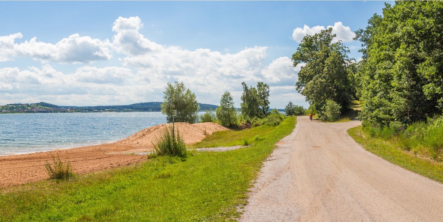
If you follow the romantic road cycle path, you will automatically pass this pond. Although, you should actually say that you can get past both ponds. For a short stretch, the pond lies to the left and right of the path.
3
0
Frequently Asked Questions
How many hiking trails are accessible from bus stations in Feuchtwangen?
There are over 100 hiking routes around Feuchtwangen that are easily accessible from bus stations. These include a variety of options, with 62 easy routes, 44 moderate routes, and a few more challenging trails, ensuring there's something for every hiker.
What kind of terrain can I expect on bus-accessible hikes in Feuchtwangen?
The bus-accessible hikes in Feuchtwangen offer diverse terrain. You'll find trails winding through the scenic Sulzach River Valley, peaceful meadows, and ancient forests like the Dentleiner Forst. Many routes also explore the beautiful Wüstenbachtal and Aicha valleys, providing a mix of shaded paths and open landscapes.
Are there any family-friendly hiking routes accessible by bus in Feuchtwangen?
Yes, Feuchtwangen offers several family-friendly routes accessible by bus. An excellent option is the Kaltenbronn Barbecue Area – Manor Pond loop, an easy 7.5 km trail that leads through forests and past ponds, perfect for a relaxed outing with children.
Can I bring my dog on the hiking trails around Feuchtwangen?
Most hiking trails in the Feuchtwangen region are dog-friendly, allowing you to enjoy the natural beauty with your canine companion. Always ensure your dog is on a leash, especially in nature reserves or near wildlife, and remember to carry waste bags. The diverse landscapes, from river valleys to forests, offer plenty of exploration for both you and your dog.
Are there circular hiking routes available from bus stations?
Yes, many of the bus-accessible trails in Feuchtwangen are circular routes, allowing you to start and end your hike at the same point, often conveniently near a bus stop. For example, the Wöhrweiher – Ameisenbrücke (Feuchtwangen) loop is a popular moderate 15.8 km circular route that explores varied landscapes.
What are some notable natural features or viewpoints I can see on these hikes?
Hikers can enjoy several natural features and viewpoints. The Sulzach River Valley is a recurring highlight, offering refreshing tours and views of historic half-timbered houses. For panoramic vistas, the Königshöhe provides stunning views of Feuchtwangen's old town and the surrounding natural landscape. Many routes also pass through the lush Wüstenbachtal and Aicha valleys.
What historical or cultural attractions can I find near the bus station hiking trails?
While hiking, you can discover several interesting attractions. The Feuchtwangen Market Square is a charming spot in the heart of the town. Further afield, you might encounter the historic Dinkelsbühl Old Town or the Stork Gate in Herrieden, both accessible via public transport connections from Feuchtwangen.
What do other hikers say about the trails around Feuchtwangen?
The hiking trails around Feuchtwangen are highly regarded by the komoot community, with an average rating of 4.4 out of 5 stars from over 2,200 reviews. Hikers frequently praise the region's diverse landscapes, well-maintained paths, and the peaceful atmosphere of the Sulzach River Valley and ancient forests.
Are there any longer, more challenging routes accessible by bus?
While most routes are easy to moderate, there are options for longer excursions. The Wöhrweiher – Oberlottermühle loop, starting from Thürnhofen, is a moderate 13.9 km path that winds through the countryside, often following the Sulzach River Valley, offering a good challenge without being overly difficult.
Where can I find a detailed map of the hiking trails in Feuchtwangen?
For a comprehensive overview of the hiking trails in Feuchtwangen, including those accessible by bus, you can often find detailed maps from the local tourism office. An official hiking map for the region is available for download from tourismus-feuchtwangen.de, which can help you plan your routes effectively.
What is the best time of year to go hiking in Feuchtwangen?
Feuchtwangen offers enjoyable hiking experiences throughout the year. Spring brings blooming meadows and fresh greenery, while autumn showcases vibrant fall foliage in the forests. Summer is ideal for shaded walks along the Sulzach River, and even mild winter days can be pleasant for a crisp hike, especially on well-maintained paths.
Are there any routes that connect to the wider Franconian Lake District or Altmühltal Nature Park?
Feuchtwangen serves as a connecting point to the larger Franconian Lake District and the Altmühltal Nature Park. While specific bus-accessible routes directly entering these areas from Feuchtwangen might require transfers, the region's proximity means you can easily plan multi-day adventures or explore varied scenery from rural areas to protected natural sections.
Most popular routes around Feuchtwangen
Most popular attractions around Feuchtwangen

Get inspired with the komoot mobile app


Explore more
Browse the best Hikes in other regions.
