The best traffic-free bike rides around Meitingen
4.6
(94)
1,238
riders
52
rides
No traffic road cycling routes around Meitingen are situated within the Augsburg district, bordering the Westliche Wälder nature park. The region is characterized by a network of river valleys, including the Lech, Wertach, and Zusam, which provide flat to gently rolling terrain. Cyclists will find expansive forests, lush meadows, and subtle hills, creating a varied landscape for road cycling. This area offers well-developed cycling infrastructure, making it suitable for exploring on two wheels.
Best no traffic road cycling routes around…
Last updated: May 15, 2026
4.4
(11)
124
riders
49.0km
01:52
90m
90m
Easy road ride. Great for any fitness level. Mostly well-paved surfaces and easy to ride.
4.6
(11)
101
riders
Easy road ride. Great for any fitness level. Mostly well-paved surfaces and easy to ride.

Sign up for free
28
riders
27.3km
01:02
60m
60m
Easy road ride. Great for any fitness level. Mostly well-paved surfaces and easy to ride.
15
riders
Moderate road ride. Good fitness required. Mostly well-paved surfaces and easy to ride.
3.0
(1)
17
riders
Moderate road ride. Good fitness required. Mostly well-paved surfaces and easy to ride.
Get access to more routes and recommendations from other explorers.
Sign up for free
Already have an account?
Our route recommendations are based on thousands of hikes, rides, and runs completed by other people on komoot.
Start today with a free account
Your next adventure awaits.
Login or Signup
Popular around Meitingen

Tips from the Community

Road surface is okay
0
0

Roman Catholic parish church, originally built as a medieval choir tower church, which was replaced by an early neoclassical new building in the second half of the 18th century. More on the history: https://de.wikipedia.org/wiki/St._Vitus_(Langweid_am_Lech)
1
0
After the old nave was demolished in 1737, the current one was rebuilt, and the church was consecrated in 1743. Opposite the pulpit is a crucifix from the mid-18th century. The coat of arms of Abbot Rogerius Friesl of Kaisheim can be seen on the west gable. A cemetery surrounds the parish church. Source and further information: https://timm4.donauwoerth.de/sehenswertes/kath_pfarrkirche_st_martin-8826/
0
0

Medieval choir tower church, extended in 1727. Nave renovated in 1767/1777. Tower with pointed roof.
0
0
Quiet connecting road between Aindling and Arnhofen, largely good asphalt
0
0
Quiet road between Zusmarshausen and Bieselbach, well paved
0
0

Between 1776 and 1777, a new building was constructed in the early neoclassical style under the direction of the prince-bishop's court architect Johann Martin Pentenrieder, which involved the extensive demolition of the previous building. Only the square tower substructure and the nave foundations were retained from the old church.
1
0

Currently under construction. Detour through the forest. Rather difficult for racing bikes...
0
0
Frequently Asked Questions
How many no-traffic road cycling routes are available around Meitingen?
There are over 50 dedicated no-traffic road cycling routes around Meitingen, offering a wide variety of options for different skill levels and preferences.
What is the general difficulty level of these no-traffic road cycling routes?
The majority of routes are classified as easy or moderate. Specifically, you'll find 25 easy routes, 29 moderate routes, and 1 more challenging option, ensuring there's something for every cyclist.
What kind of landscapes can I expect on these no-traffic road cycling routes?
The routes wind through diverse landscapes, including the expansive forests and gentle rolling hills of the Augsburg Nature Park - Western Forests. You'll also cycle along picturesque river valleys, such as the Lech, Wertach, and Zusam, often encountering lush meadows and tranquil floodplains.
Are there any loop routes for no-traffic road cycling?
Yes, many of the no-traffic road cycling routes around Meitingen are designed as loops. For example, you could try the Schwabtor – Südzucker Factory loop from Herbertshofen, which offers a pleasant 48 km ride with minimal elevation gain.
What is the best time of year for no-traffic road cycling in Meitingen?
Spring, summer, and early autumn generally offer the most pleasant conditions for road cycling in Meitingen. The region's natural beauty, particularly along the river paths and through the forests, is vibrant during these seasons. Always check local weather forecasts before heading out.
Are there family-friendly no-traffic road cycling routes in Meitingen?
Yes, the region's well-developed cycling network includes many routes suitable for families. The gentle terrain along the river valleys and through the Western Forests provides safe and enjoyable options. Look for routes classified as 'easy' for the most family-friendly experiences.
Where can I park my car when starting a no-traffic road cycling tour?
Meitingen and its surrounding villages offer various parking options, often near public facilities or designated trailheads. Many routes, like the Road to Bäumenheim – St. Martin's Church, Mertingen loop from Meitingen, start directly from Meitingen, where parking is generally available.
Can I reach the starting points of these routes by public transport?
Meitingen is connected by regional public transport, making it possible to reach starting points without a car. Check local train and bus schedules for connections to Meitingen and nearby towns like Herbertshofen, which serve as common starting points for many routes.
Are there places to eat or rest along the routes?
Yes, the region has numerous cafes, guesthouses, and beer gardens, especially in the towns and villages along the routes. You can also find several huts and cabins, such as the St. Klaus Friends of Nature House or the Naturfreundehaus Vinzenz-Behr-Hütte, which offer opportunities for rest and refreshments.
What cultural or historical sights can I see along the no-traffic road cycling routes?
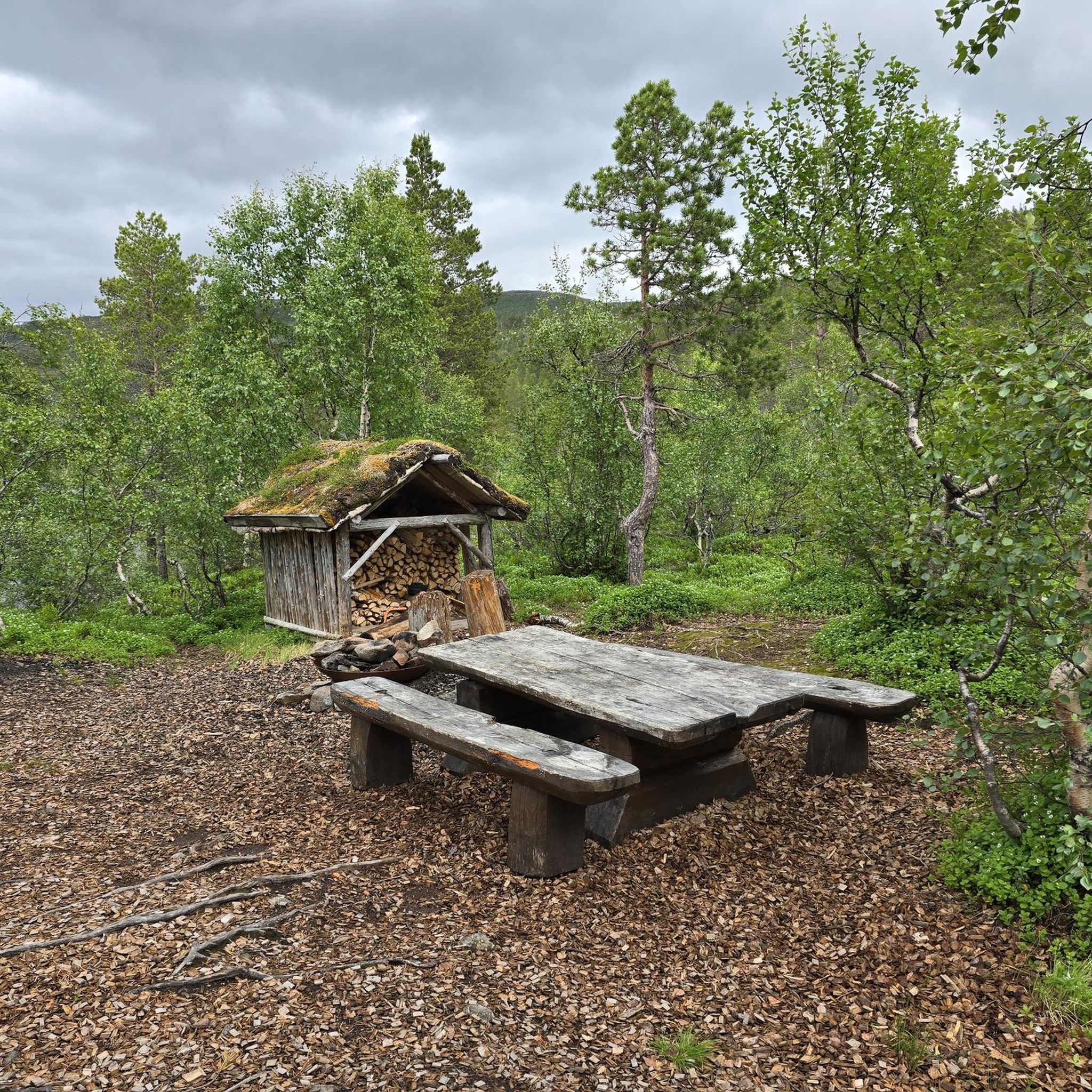
While primarily focused on nature, you can incorporate cultural stops. Meitingen itself is home to St. Wolfgang's Church and Meitingen Castle. The wider region features historical hydroelectric power plants and routes that trace ancient Roman roads. For a unique stop, consider visiting the Wooden shelter in Naturpark Augsburg – Westliche Wälder.
What do other cyclists say about the no-traffic road cycling routes in Meitingen?
The no-traffic road cycling routes around Meitingen are highly rated by the komoot community, with an average score of 4.7 stars based on 110 ratings. Cyclists often praise the peaceful, car-free paths, the beautiful natural scenery of the Western Forests, and the well-maintained river cycle paths.
Are there any routes with moderate elevation for a bit more challenge?
Yes, if you're looking for a bit more elevation, routes like the St. Martin's Church, Mertingen – Road to Bäumenheim loop from Herbertshofen offer moderate climbs, with around 179 meters of elevation gain over 56 km, providing a good workout while still enjoying traffic-free roads.
Most popular attractions around Meitingen

Get inspired with the komoot mobile app


Explore more
Browse the best Road cycling routes in other regions.
