The best traffic-free bike rides around Großmaischeid
4.5
(531)
5,928
riders
8
rides
No traffic road cycling routes around Großmaischeid traverse a landscape characterized by picturesque forests, green meadows, and rolling hills within the Westerwald region. This area, situated on the edge of the Naturpark Rhein-Westerwald, offers a diverse natural backdrop for road cyclists. The low mountain range terrain ensures a mix of ascents and descents, providing varied routes on well-maintained roads, winding country lanes, and side roads with minimal traffic. The Sayntal (Sayn Valley) further contributes to the scenic beauty of the…
Last updated: September 30, 2026
4.8
(4)
30
riders
31.9km
01:27
280m
280m
Moderate road ride. Great for any fitness level. Some segments of this route may be unpaved and difficult to ride.
10
riders
Moderate road ride. Good fitness required. Some segments of this route may be unpaved and difficult to ride.

10
riders
Moderate road ride. Good fitness required. Some segments of this route may be unpaved and difficult to ride.
5.0
(3)
9
riders
Moderate road ride. Good fitness required. Some segments of this route may be unpaved and difficult to ride.
3
riders
27.8km
01:20
310m
310m
Moderate road ride. Good fitness required. Some segments of this route may be unpaved and difficult to ride.
Get access to more routes and recommendations from other explorers.
Already have an account?
Our route recommendations are based on thousands of hikes, rides, and runs completed by other people on komoot.
Start today with a free account
Your next adventure awaits.
Popular around Großmaischeid
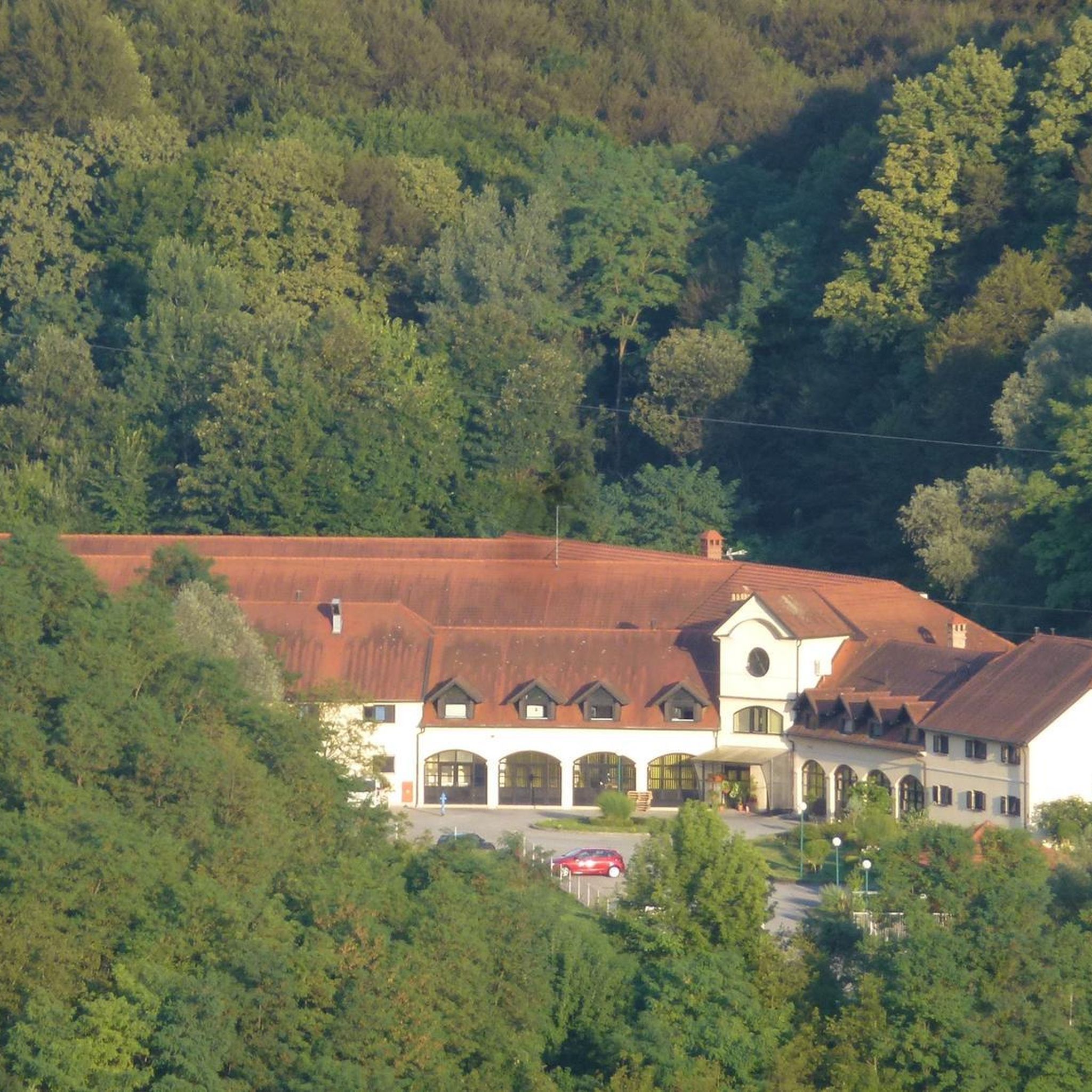
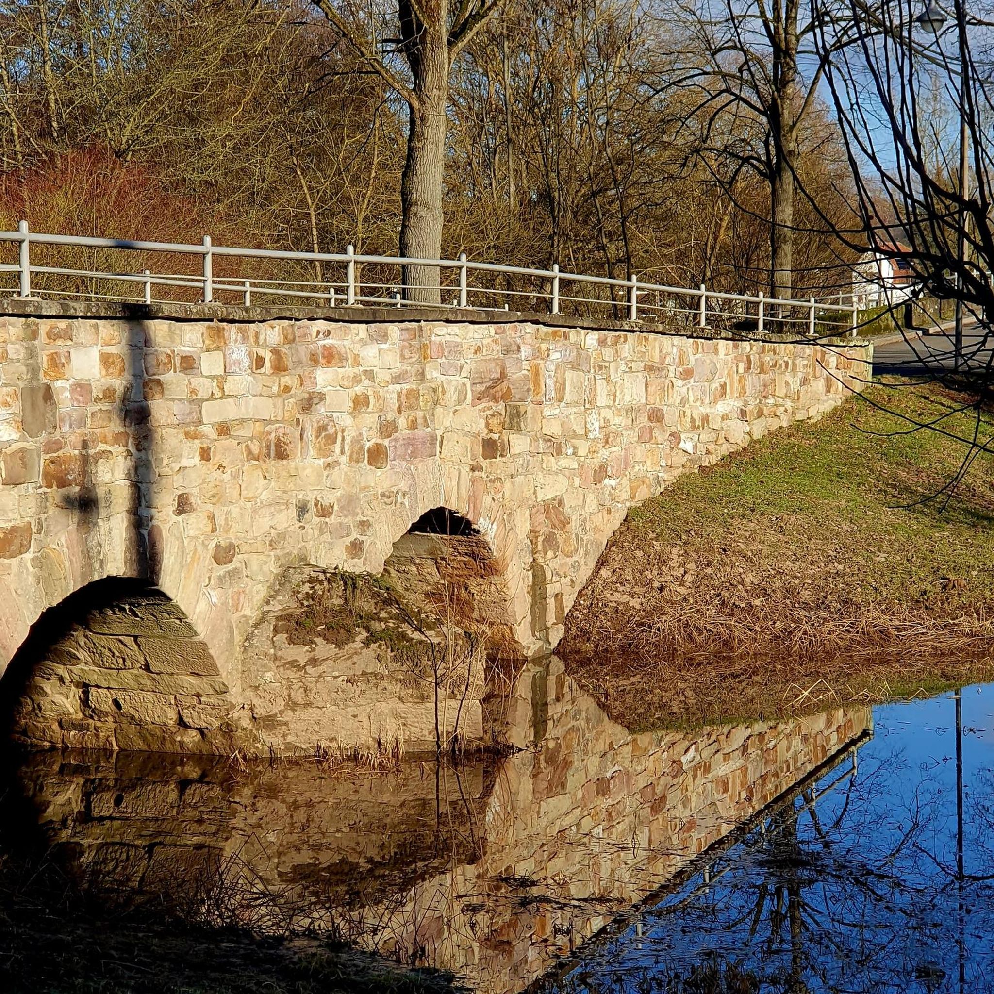
Tips from the Community

Above Wienau, you can look far over Dierdorf
0
0
Anglers often sit around the pond here. There is a playground for children.
0
0

Top
0
0
Very nice
0
0
Beautiful to look at
0
0

The Hartenfels castle ruins are a 13th-century observation tower that was intended to protect the historic trade route from Cologne to Frankfurt.
0
0

Westerwald Cathedral; always worth a stop!
0
1

Westerwälder House of St. Bonifatius
1
0
Frequently Asked Questions
How many no-traffic road cycling routes are available around Großmaischeid?
There are currently 8 dedicated no-traffic road cycling routes around Großmaischeid listed in this guide. These routes offer a fantastic way to explore the scenic Westerwald region without the disturbance of heavy traffic.
What is the typical difficulty level of these no-traffic road cycling routes?
The majority of the no-traffic road cycling routes around Großmaischeid are classified as moderate, with 7 out of 8 routes falling into this category. There is also 1 easy route available, making the area accessible for various skill levels. The low mountain range landscape ensures a mix of ascents and descents, providing both challenging climbs and exhilarating descents.
Are there any family-friendly no-traffic road cycling routes in Großmaischeid?
While most routes are moderate, the region's extensive network of paths and well-maintained country lanes with little traffic can be suitable for families with older children or those comfortable with moderate distances and elevation changes. For a good starting point, consider the 18.9 km route, Dierdorf-Wienau Airfield – Owl Tower loop from Dierdorf, which is one of the shorter options.
What kind of landscapes can I expect on these no-traffic road cycling routes?
You can expect diverse and picturesque landscapes characterized by breathtaking forests, green meadows, and rolling hills. The routes wind through the scenic Westerwald, offering constant ups and downs that are perfect for road cycling. The nearby Sayntal (Sayn Valley) also contributes to the scenic beauty.
Are there any circular no-traffic road cycling routes available?
Yes, many of the routes are designed as loops, allowing you to start and end at the same point. For example, the Eiscafé Skupi Rengsdorf – Obere Mühle loop from Melsbach is a 25.7 km circular route, and the View of Hartenfels Castle – View of Hartenfels Castle loop from Kleinmaischeid offers a longer 38.5 km option.
What are some notable landmarks or attractions I might see along the routes?
Beyond the natural beauty, you can encounter historical sights and cultural highlights. While cycling, you might pass by points of interest such as the Westerwaldbahn Viaduct, as seen on the Westerwaldbahn Viaduct, Selters – Half-timbered house in Selters loop from Nordhofen route. For those interested in natural features, there are also several waterfalls in the broader area, such as the Laubach Waterfall or the Brexbach Valley — Railway Bridge and Waterfall.
What is the best time of year to enjoy no-traffic road cycling in Großmaischeid?
The region is beautiful throughout the warmer months. Spring and autumn offer pleasant temperatures and vibrant scenery, making them ideal for road cycling. Summer is also great, but it's always wise to check the weather forecast, especially for longer rides in the hilly terrain.
Is parking available near the starting points of these routes?
Großmaischeid and its surrounding villages serve as excellent starting points, and you can typically find parking in or near these communities. Many routes, like the Westerwaldbahn Viaduct, Selters – Half-timbered house in Selters loop from Kleinmaischeid, start from villages like Kleinmaischeid, where parking is generally accessible.
What do other road cyclists enjoy most about the no-traffic routes in Großmaischeid?
The area is highly rated by the komoot community, with an average score of 4.6 stars. Reviewers often praise the quiet, well-maintained country lanes, the diverse hilly terrain, and the beautiful natural scenery of the Westerwald, which allows for relaxed and safe riding away from traffic.
Are there any cafes or places to stop for refreshments along the no-traffic road cycling routes?
While specific cafes directly on every no-traffic stretch might be limited, the routes often pass through or near charming villages where you can find opportunities for refreshments. For instance, the Eiscafé Skupi Rengsdorf – Obere Mühle loop from Melsbach suggests a stop at an Eiscafé. It's always a good idea to plan your stops in advance or carry sufficient provisions.
Can I reach the starting points of these routes using public transport?
While Großmaischeid is well-connected by road, public transport options to specific trailheads might vary. It's advisable to check local bus schedules for connections to Großmaischeid and surrounding villages like Melsbach, Nordhofen, or Kleinmaischeid, which serve as common starting points for these routes.
What is the average length and elevation gain for these no-traffic road cycling routes?
The routes vary in length, with the shortest being around 18.9 km and the longest reaching approximately 38.5 km. Elevation gains typically range from about 160 meters for easier routes to over 440 meters for more challenging ones, reflecting the hilly nature of the Westerwald region.
Most popular routes around Großmaischeid
Most popular attractions around Großmaischeid

Get inspired with the komoot mobile app


Explore more
Browse the best Road cycling routes in other regions.
