The best hikes from bus stations around Bobenheim-Roxheim
4.3
(611)
2,502
hikers
14
hikes
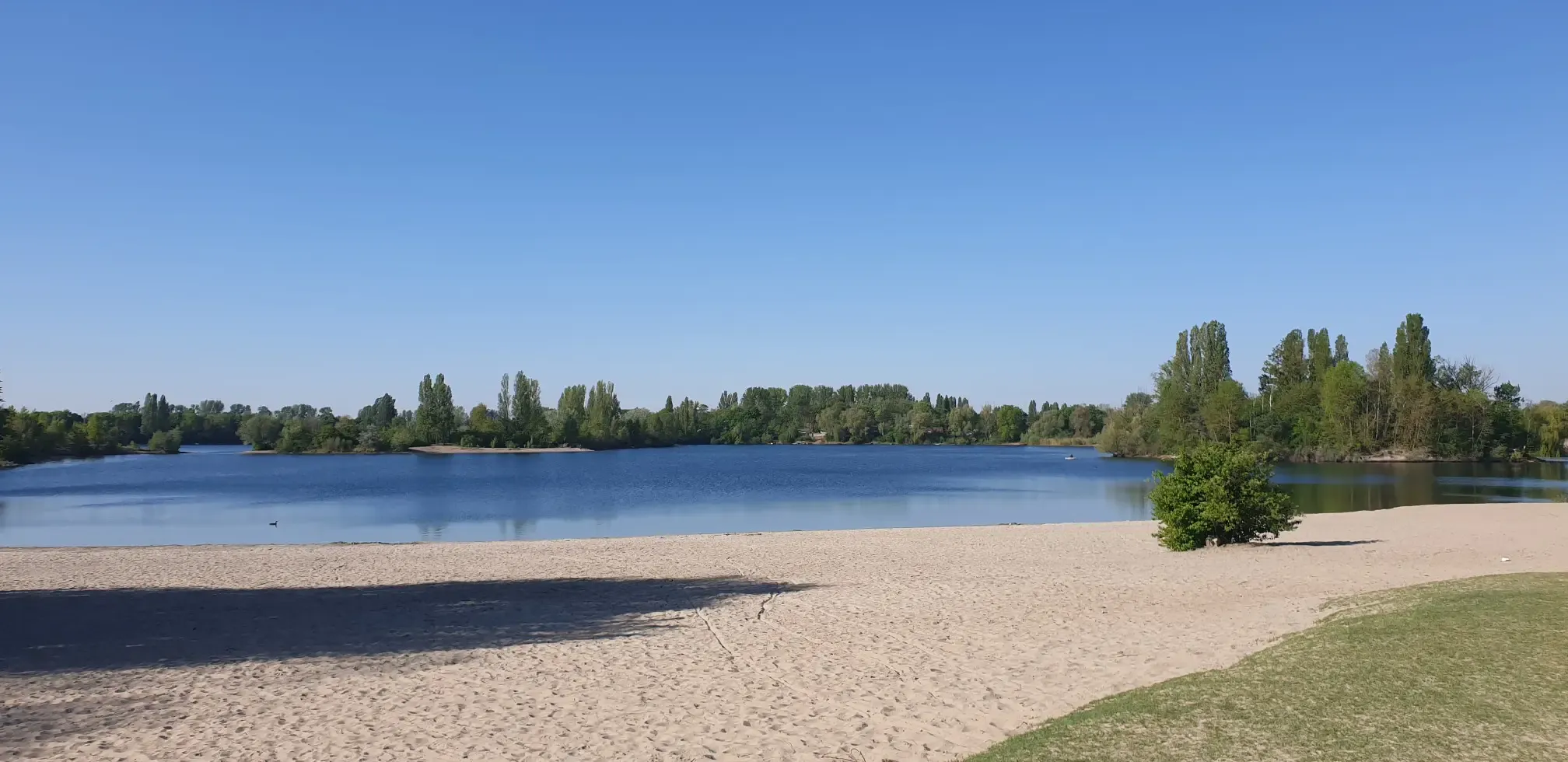
Bus station hiking trails around Bobenheim-Roxheim are characterized by flat terrain and proximity to water features. The region is situated along the Old Rhine loop, offering routes that traverse riverside paths and open fields. Natural features include lakes such as Silbersee and Nachtweide Lake, providing accessible outdoor experiences. The landscape is generally low-lying with minimal elevation gain, making it suitable for easy walks.
Best bus station hiking trails around Bobenheim-Roxheim
- The most popular bus station hiking route is Beach Bar…
Last updated: July 11, 2026
4.6
(342)
1,072
hikers
Easy hike. Great for any fitness level. Easily-accessible paths. Suitable for all skill levels.
2.0
(1)
22
hikers
3.90km
00:59
10m
10m
Easy hike. Great for any fitness level. Easily-accessible paths. Suitable for all skill levels.

Sign up for free
4.5
(4)
27
hikers
Easy hike. Great for any fitness level. Easily-accessible paths. Suitable for all skill levels.
5.0
(64)
11
hikers
Easy hike. Great for any fitness level. Easily-accessible paths. Suitable for all skill levels.
3
hikers
Easy hike. Great for any fitness level. Easily-accessible paths. Suitable for all skill levels.
Get access to more routes and recommendations from other explorers.
Sign up for free
Already have an account?
Our route recommendations are based on thousands of hikes, rides, and runs completed by other people on komoot.
Start today with a free account
Your next adventure awaits.
Login or Signup
Popular around Bobenheim-Roxheim
Other adventures around Bobenheim-Roxheim

Tips from the Community

It's good to walk on if it's not too wet.
2
0

Well, I live there... ...people should take their trash with them. No cutting down trees, no campfires, forbidden!!!
3
0

The square right on the Rhine, with its bench and table, is definitely inviting. We wanted to have a coffee on the garden terrace of the nearby hotel/café (5 p.m.), but we were told it was already too late, but we could stay for another half hour. (We left; if you don't want to, you can leave.)
1
0

Beautiful from the side, if you stand behind the object not
2
0
beautiful place directly on the lake and away
1
0

Heiligensand is great for watching waterfowl.
0
0
The Seestube Bader is also highly recommended. Simply great!😊
1
0
Frequently Asked Questions
How many hiking trails are accessible directly from bus stations in Bobenheim-Roxheim?
There are 14 easy hiking trails in Bobenheim-Roxheim that are readily accessible from bus stations. These routes are designed for convenience, allowing you to start your adventure right after stepping off public transport.
What kind of terrain can I expect on these bus-accessible hikes?
The trails accessible from bus stations in Bobenheim-Roxheim are predominantly easy, featuring minimal elevation gain. You'll find paths winding through picturesque landscapes, including the Old Rhine loop, fields, and along the shores of lakes like Silbersee. While generally flat, some sections might involve natural surfaces.
Are there any circular hiking routes available from bus stops?
Yes, many of the bus-accessible routes in Bobenheim-Roxheim are circular, bringing you back to your starting point. For example, the Nachtweide Lake – Nachtweide Pond loop from Bobenheim-Roxheim is a great option that starts and ends conveniently.
What natural features can I explore on these trails?
The bus-accessible trails in Bobenheim-Roxheim offer a chance to explore significant natural features. You can hike along the scenic Old Rhine loop, visit the tranquil Silbersee, and discover nature reserves like Nonnenbusch. These areas are known for their diverse flora and fauna, especially migratory birds.
Are the bus station hiking trails suitable for families with children?
Absolutely. The trails are generally easy with minimal elevation, making them ideal for families. Many routes, such as those around Silbersee, offer pleasant walks through nature. The region's focus on accessible paths ensures a comfortable experience for all ages.
Can I bring my dog on these hikes?
Yes, many of the trails in Bobenheim-Roxheim are dog-friendly. However, it's always recommended to keep your dog on a leash, especially when passing through nature reserves or agricultural areas, to protect wildlife and respect other hikers.
What are some popular points of interest or attractions along these routes?
While hiking from bus stations, you can encounter several interesting spots. The Karlstern Pond and Begütenweiher are beautiful lakes to discover. The Herrnsheim Castle Park is also a notable highlight nearby, offering a pleasant detour.
What is the best time of year to hike from Bobenheim-Roxheim's bus stations?
Spring and autumn are particularly beautiful for hiking in Bobenheim-Roxheim. In spring, you can observe migratory birds and blooming landscapes, while autumn offers vibrant colors. The generally mild terrain makes these trails enjoyable even in winter, provided conditions are safe.
Are there any routes that offer views of the Old Rhine?
Yes, several routes provide excellent views of the Old Rhine. The View of Jägerweiher – Roxheimer Altrhein Trail loop from Bobenheim-Roxheim is a great example, offering scenic perspectives of this natural feature.
What do other hikers say about the bus-accessible trails in Bobenheim-Roxheim?
The komoot community rates the bus-accessible trails in Bobenheim-Roxheim highly, with an average score of 4.3 stars. Hikers frequently praise the ease of access from public transport, the tranquil natural settings, and the well-maintained paths around the Old Rhine and local lakes.
Are there any longer routes for more experienced hikers accessible by bus?
While most bus-accessible routes are easy, some options, like the Take a break for a bit at the Old Rhine – Kräppelweiher loop from Bobenheim-Roxheim, offer a slightly longer distance of nearly 8 km. These still maintain an easy difficulty, focusing on extended enjoyment of the landscape rather than challenging terrain.
Most popular routes around Bobenheim-Roxheim
Most popular attractions around Bobenheim-Roxheim

Get inspired with the komoot mobile app


Explore more
Browse the best Hikes in other regions.
