The best hikes from bus stations around Herbstein
4.6
(10433)
39,245
hikers
151
hikes
Bus station hiking trails around Herbstein are situated within the Hoher Vogelsberg Nature Park, a region characterized by its volcanic origins. The landscape features rolling hills, dense forests, and expansive meadows. Hikers can expect to traverse through varied terrain, including basalt domes and areas around Lake Nieder-Moos, offering diverse natural features.
Best bus station hiking trails around Herbstein
- The most popular bus station hiking route is Schalksbach Ponds – Felsenruhe Rock Formation loop from Herbstein, a 4.1 miles (6.6…
Last updated: May 15, 2026
4.7
(41)
149
hikers
6.67km
01:47
80m
80m
Easy hike. Great for any fitness level. Easily-accessible paths. Suitable for all skill levels.
4.6
(26)
101
hikers
Moderate hike. Good fitness required. Mostly accessible paths. Sure-footedness required.

Sign up for free
4.6
(29)
93
hikers
Easy hike. Great for any fitness level. Easily-accessible paths. Suitable for all skill levels.
4.3
(18)
59
hikers
8.71km
02:21
120m
120m
Moderate hike. Good fitness required. Easily-accessible paths. Suitable for all skill levels.
3.0
(2)
25
hikers
14.3km
04:01
250m
250m
Moderate hike. Good fitness required. Mostly accessible paths. Sure-footedness required.
Get access to more routes and recommendations from other explorers.
Sign up for free
Already have an account?
Our route recommendations are based on thousands of hikes, rides, and runs completed by other people on komoot.
Start today with a free account
Your next adventure awaits.
Login or Signup

Other adventures around Herbstein


Tips from the Community

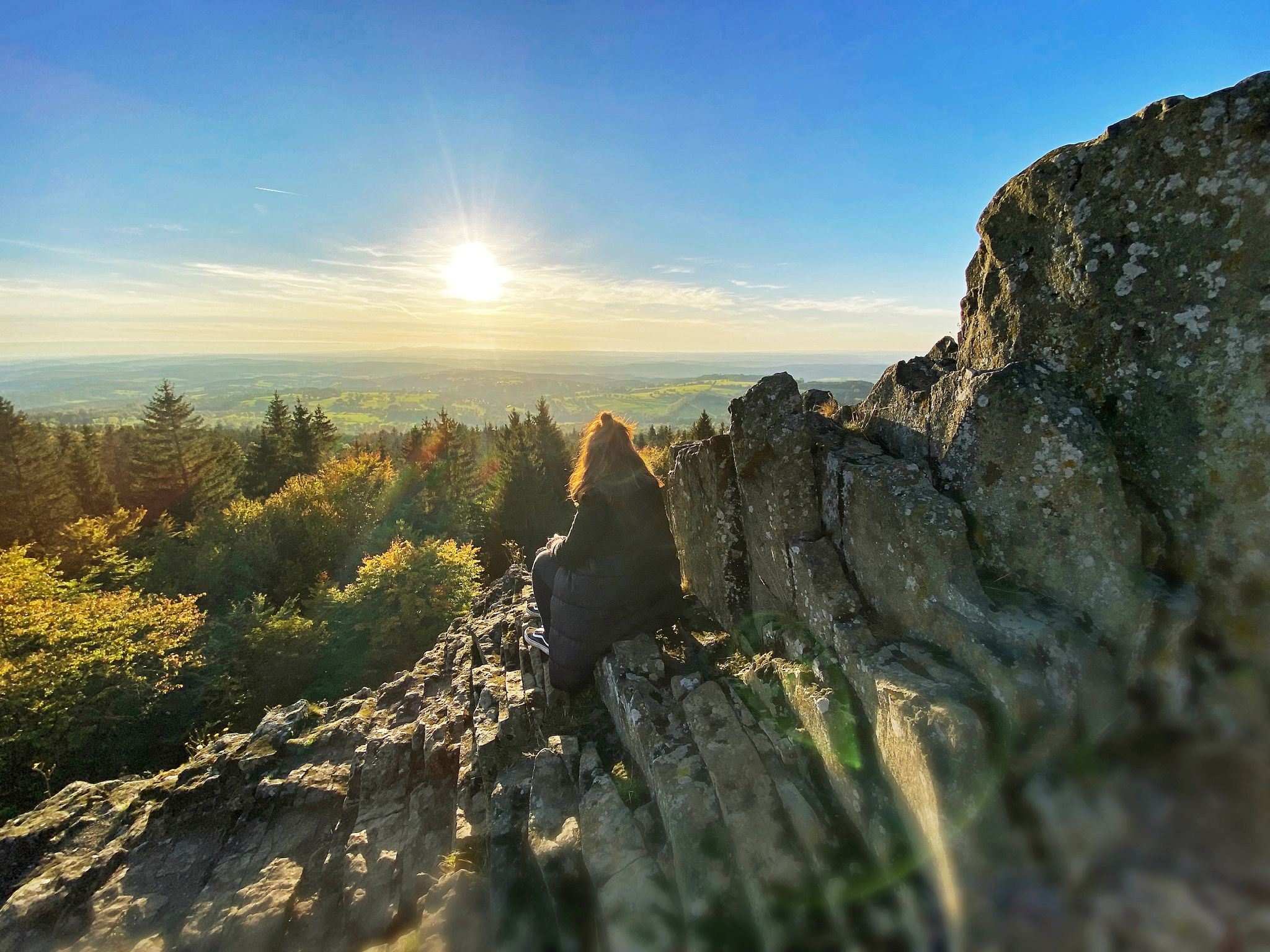
The Geiselstein is jokingly referred to as the "North Pole of the Vogelsberg" because it is often significantly cooler and windier here than in the surrounding valleys. The basalt columns naturally contain magnetic minerals – which is why compasses are said to occasionally "tremble" slightly or drift a bit here. A quiet, mystical place with a true high-altitude atmosphere.
7
0
The Diebstein (Thieves' Stone) was formerly a handover point for wood and poachers to the jurisdiction of the Barons von Riedesel – hence its name. Today it is an impressive natural monument on the certified Herbstein Rock Tour circular trail.
7
0
A tranquil, unspoiled valley surrounds the Schwarzbach stream, characterized by mossy banks, dense forest, and the constant sound of rushing water. Near Hochwaldhausen, the Schwarzbach reveals itself as particularly diverse – sometimes a small trickle, sometimes a powerful torrent.
6
0
A simple, weatherproof hikers' hut in the Vogelsberg region – ideal for a short rest, a snack break, or shelter from rain and snow. Quietly situated in the forest and often nestled along popular hiking trails. The perfect stop to catch your breath and enjoy the tranquility of the woods.
5
0
A narrow stream that originates as a small trickle in the Vogelsberg hills and gradually grows larger along its course. The route often follows it for several kilometers – sometimes gently babbling, sometimes flowing more powerfully. A beautiful, natural companion through the forests around the Hoherodskopf.
6
0
Historic raftsman's house on the Schwarzbach stream – a small, traditional wooden building that recalls the former rafting culture in the Vogelsberg region. Today, it's an idyllic spot by the water, perfect for a short break and a glimpse into the region's history.
6
0
A narrow stream that originates as a small trickle in the Vogelsberg hills and gradually grows larger along its course. The route often follows it for several kilometers – sometimes gently babbling, sometimes flowing more powerfully. A beautiful, natural companion through the forests around the Hoherodskopf.
7
0

It is a small, solidly built house by the roadside.
2
0
Frequently Asked Questions
How many bus station hiking trails are available around Herbstein?
There are over 150 hiking trails around Herbstein that are easily accessible from bus stations. These routes cater to various fitness levels, with 64 easy, 86 moderate, and 4 difficult options available.
Are there easy hiking trails accessible from bus stations in Herbstein?
Yes, Herbstein offers a good selection of easy hiking trails starting directly from bus stations. For example, the VulkanTherme Trailhead – Herbstein Cross Chapel loop from Herbstein is an easy 4.4 km route, perfect for a relaxed outing. Another great option is the Schalksbach Ponds – Felsenruhe Rock Formation loop from Herbstein, which is about 6.6 km long.
What is the best time of year to go hiking near Herbstein's bus stations?
The best seasons for hiking around Herbstein are spring and autumn. During these times, the landscape of the Hoher Vogelsberg Nature Park is particularly vibrant with colors, and the climate is mild, making for pleasant walking conditions through forests and meadows.
Are there any circular hiking routes starting from bus stations in Herbstein?
Yes, many trails around Herbstein are designed as circular routes, allowing you to start and end your hike at the same bus station. The Koppelhuth Biotope – Koppelhuthe Wetland loop from Herbstein is a moderate 8.7 km circular hike that offers diverse scenery.
What kind of natural features can I expect to see on hikes around Herbstein?
Hiking around Herbstein, you'll experience the unique volcanic landscapes of the Hoher Vogelsberg Nature Park. Expect to traverse dense forests, open meadows, and encounter basalt domes. Highlights include panoramic views from higher elevations and the nature reserve around Lake Nieder-Moos, known for its diverse flora and fauna.
Are there any family-friendly hiking options accessible by bus in Herbstein?
While specific family-friendly routes from bus stations are not explicitly listed in the data, the region is known for trails like the "Kelten-Erlebnispfad" (Celtic Experience Trail), which is designed for younger explorers. Many of the easy, shorter loops, such as the VulkanTherme Trailhead – Herbstein Cross Chapel loop, are also suitable for families.
What are some interesting landmarks or attractions along the bus station hiking trails?
Along the trails, you can explore various geological and historical points of interest. Notable attractions include the Gilgbachtal Geotope and the scenic Lützgrund Valley. For impressive views, consider routes that offer glimpses of peaks like the Hoherodskopf Summit or the Bismarck Tower Taufstein.
Are there dog-friendly hiking trails accessible from bus stations in Herbstein?
Most hiking trails in the Hoher Vogelsberg Nature Park are dog-friendly, provided dogs are kept on a leash, especially in nature reserve areas. The varied landscapes of forests and open paths make for enjoyable walks with your canine companion. Always check local signage for specific rules regarding pets.
What do other hikers enjoy most about hiking in Herbstein?
The komoot community highly rates hiking in Herbstein, with an average score of 4.6 stars. Reviewers often praise the diverse scenery, well-maintained trails, and the peaceful atmosphere of the Hoher Vogelsberg Nature Park. The accessibility of trails from bus stations is also frequently highlighted as a major convenience.
Are there any challenging or difficult hikes available from bus stations?
Yes, for those seeking a more strenuous experience, there are a few difficult routes. The Geiselstein rock formation – Diebstein Rock Formation loop from Lanzenhain is a challenging 18 km route with significant elevation changes, offering a rewarding adventure for experienced hikers.
Can I find routes that offer panoramic views from bus stations?
Absolutely. The volcanic origins of the Vogelsberg region mean many trails lead to higher elevations offering expansive vistas. While not directly from a bus station, routes that ascend towards areas like the Hoherodskopf will provide impressive panoramic views, often stretching to the Rhön on clear days. Look for routes with higher elevation gain for the best viewpoints.
Most popular routes around Herbstein
Most popular attractions around Herbstein

Get inspired with the komoot mobile app


Explore more
Browse the best Hikes in other regions.
