The best hikes from bus stations around Alsfeld
4.5
(945)
3,512
hikers
185
hikes
Bus station hiking trails around Alsfeld are set within a diverse low-mountain landscape, situated on the upper reaches of the Schwalm river. The region is characterized by rolling hills from the Vogelsberg and Knüll mountains, alongside the Alsfeld basin. This geographical position provides a varied natural environment for outdoor activities. Key features include the Antrift Reservoir and numerous river valleys.
Best bus station hiking trails around Alsfeld
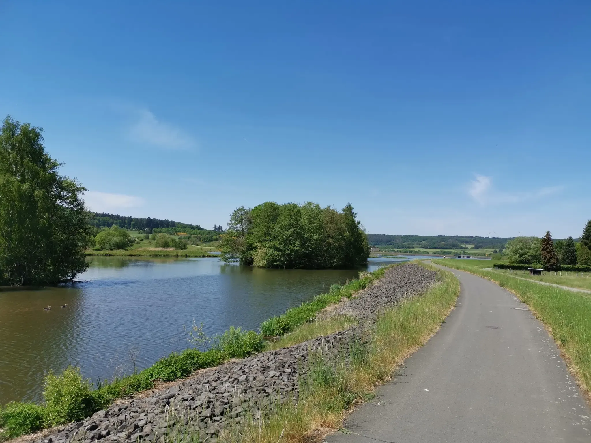
- The most popular bus station hiking route is Antrift Reservoir near Angenrod – Antrift Reservoir loop from Angenrod, a 2.6 miles (4.2 km) trail that takes 1 hour 6 minutes to complete. This easy loop offers views of the Antrift Reservoir.
- Another top favourite among local hikers is Eifa Railway Viaduct – Smallest waterfall in the world loop from Alsfeld, a moderate 6.2 miles (10.0 km) path. This route features the Eifa Railway Viaduct and a small waterfall.
- Local hikers also love the Smallest waterfall in the world – Eifa Railway Viaduct loop from Eifa, a 3.0 miles (4.9 km) trail leading through varied terrain including the Eifa Railway Viaduct, often completed in about 1 hour 16 minutes.
- Hiking around Alsfeld is defined by low-mountain landscapes, river valleys, and rolling hills from the Vogelsberg and Knüll mountains. The network offers options for various ability levels, from easy walks to more challenging routes.
- The routes in Alsfeld are highly rated by the komoot community with an average score of 4.6 stars from more than 700 reviews. More than 3,200 hikers have used komoot to explore Alsfeld's varied terrain.
Last updated: September 30, 2026
4.5
(128)
585
hikers
Easy hike. Great for any fitness level. Easily-accessible paths. Suitable for all skill levels.
4.6
(40)
110
hikers
Moderate hike. Good fitness required. Easily-accessible paths. Suitable for all skill levels.

4.8
(12)
61
hikers
Easy hike. Great for any fitness level. Easily-accessible paths. Suitable for all skill levels.
4.5
(16)
47
hikers
8.66km
02:30
220m
220m
Moderate hike. Good fitness required. Easily-accessible paths. Suitable for all skill levels.
3.6
(11)
47
hikers
5.37km
01:23
30m
30m
Easy hike. Great for any fitness level. Easily-accessible paths. Suitable for all skill levels.
Get access to more routes and recommendations from other explorers.
Already have an account?
Our route recommendations are based on thousands of hikes, rides, and runs completed by other people on komoot.
Start today with a free account
Your next adventure awaits.
Popular around Alsfeld
Other adventures around Alsfeld

Tips from the Community

Looks pretty, with the little river underneath.
0
0
Nicely located on the outskirts of town.
0
0
One of many bridges along the Schwalm.
0
0

a surprisingly wild stream course with many drinking and bathing spots for dogs
0
0

From here you have a magnificent panoramic view over the entire lake.
1
0

A very special photo opportunity. You simply have to stop here and take a snapshot!
0
0
A truly colossal bridge in relation to the narrow stream.
3
0
A colossal underpass in relation to the small stream.
3
0
Frequently Asked Questions
How many bus station hiking trails are available around Alsfeld?
There are over 180 hiking routes accessible from bus stations around Alsfeld, offering a wide variety of distances and difficulty levels to explore the region's natural beauty.
Are there easy hiking options accessible from Alsfeld bus stations?
Yes, Alsfeld offers nearly 100 easy hiking routes that are perfect for a relaxed outing. An excellent example is the Antrift Reservoir loop from Angenrod, which is a gentle 4.2 km walk around the scenic reservoir.
Can I find circular hiking routes starting from bus stations in Alsfeld?
Many of the trails accessible from Alsfeld's bus stations are circular, allowing you to start and end your hike at the same point without needing to arrange return transport. The Smallest waterfall in the world loop from Alsfeld is a great moderate circular option.
Are there any hikes that feature waterfalls near Alsfeld bus stations?
While Alsfeld is known for its low-mountain landscape, you can find routes that lead to charming waterfalls. The Smallest waterfall in the world loop from Alsfeld is one such route. For more options, explore the Waterfalls around Alsfeld guide, which includes highlights like the Christerode Waterfall and Pond.
What kind of natural attractions can I expect to see on these trails?
The trails around Alsfeld bus stations traverse a diverse low-mountain landscape. You can expect to see river valleys, rolling hills, and serene forests. Notable natural attractions include the Antrift Reservoir and various natural monuments. The region is part of the northern Vogelsberg and borders the Knüll mountains, offering varied scenery.
Are there family-friendly hiking routes accessible by bus in Alsfeld?
Absolutely. Many routes are suitable for families, especially the easier ones. The Villa Raab – Erlenteich, Alsfeld loop from Alsfeld is an easy 5.3 km trail that's great for a family outing, offering pleasant scenery without strenuous climbs.
Can I bring my dog on the bus station hiking trails in Alsfeld?
Most hiking trails around Alsfeld are dog-friendly, allowing you to enjoy the outdoors with your canine companion. It's always recommended to keep your dog on a leash, especially in nature reserves or near wildlife, and to check local regulations for specific areas.
What do other hikers enjoy most about the trails around Alsfeld?
The area is highly rated by the komoot community, with an average score of 4.56 stars. Reviewers often praise the peaceful and unspoiled natural environment, the well-maintained paths, and the variety of landscapes, from reservoir loops to forest trails, all easily accessible by public transport.
Are there any trails that offer good viewpoints or panoramic vistas?
Yes, some routes lead to elevated points offering scenic views of the surrounding low-mountain landscape. For example, the Die Stirn Viewpoint – Singers' Stage Bechtelsberg loop from Berfa provides opportunities for expansive views across the region.
What is the best time of year to go hiking from Alsfeld bus stations?
Alsfeld's trails are enjoyable throughout the year. Spring brings blooming nature, summer offers lush greenery, and autumn provides beautiful foliage. Even in winter, with appropriate gear, the landscape can be serene. The paved 'Little Red Riding Hood Rail Trail' (Rotkäppchenweg) is a good option for all seasons.
Are there any longer, more challenging hikes available from bus stations?
While many routes are easy to moderate, there are options for more challenging hikes. The region's diverse terrain, including parts of the Vogelsberg and Knüll mountains, allows for longer excursions with more significant elevation changes. Look for routes marked as 'moderate' or 'difficult' for a greater challenge.
Most popular routes around Alsfeld
Most popular attractions around Alsfeld

Get inspired with the komoot mobile app


Explore more
Browse the best Hikes in other regions.
