The best hikes from bus stations around Löchgau
4.5
(12903)
59,534
hikers
18
hikes
Bus station hiking trails around Löchgau offer access to diverse landscapes within the Ludwigsburg district. The region is characterized by its location on the edge of the Stromberg-Heuchelberg Nature Park, featuring extensive vineyards, dense forests, and scenic river valleys. Hikers can explore paths along the Enz, Neckar, Baumbach, and Metter rivers, which flow through green valleys. Unique geological formations, such as the Hessigheimer Felsengärten, contribute to the varied terrain.
Best bus station hiking trails around Löchgau
- The most popular bus station hiking route is View of Besigheim – Baumbach Ford and Footbridge loop from Löchgau, a 5.7 miles (9.1 km) moderate trail that takes 2 hours 26 minutes to complete, offering views of Besigheim and the Baumbach river.
- Another top favourite among local hikers is View of Besigheim – View of Besigheim loop from Löchgau, an easy 3.4 miles (5.4 km) path. This route provides scenic vistas of the historic town of Besigheim.
- Local hikers also love the Brachberg Valley – Valley Trail in the Brachberger Valley loop from Löchgau, a 4.9 miles (7.9 km) trail leading through the Brachberg Valley, often completed in about 2 hours 10 minutes.
- Hiking around Löchgau is defined by its vineyards, forests, and river valleys, including the Neckar and Baumbach. The network offers options for various ability levels, from easy strolls to more challenging routes.
- The routes in Löchgau are highly rated by the komoot community with an average score of 4.6 stars from over 12,500 reviews. More than 61,000 hikers have used komoot to explore Löchgau's varied terrain.
Last updated: May 15, 2026
4.6
(102)
377
hikers
9.09km
02:26
110m
110m
Moderate hike. Good fitness required. Easily-accessible paths. Suitable for all skill levels.
4.5
(31)
158
hikers
5.39km
01:27
70m
70m
Easy hike. Great for any fitness level. Easily-accessible paths. Suitable for all skill levels.

Sign up for free
4.9
(7)
46
hikers
Moderate hike. Good fitness required. Easily-accessible paths. Suitable for all skill levels.
4.3
(3)
7
hikers
Moderate hike. Good fitness required. Easily-accessible paths. Suitable for all skill levels.
3.5
(2)
20
hikers
Easy hike. Great for any fitness level. Easily-accessible paths. Suitable for all skill levels.
Get access to more routes and recommendations from other explorers.
Sign up for free
Already have an account?
Our route recommendations are based on thousands of hikes, rides, and runs completed by other people on komoot.
Start today with a free account
Your next adventure awaits.
Login or Signup
Popular around Löchgau
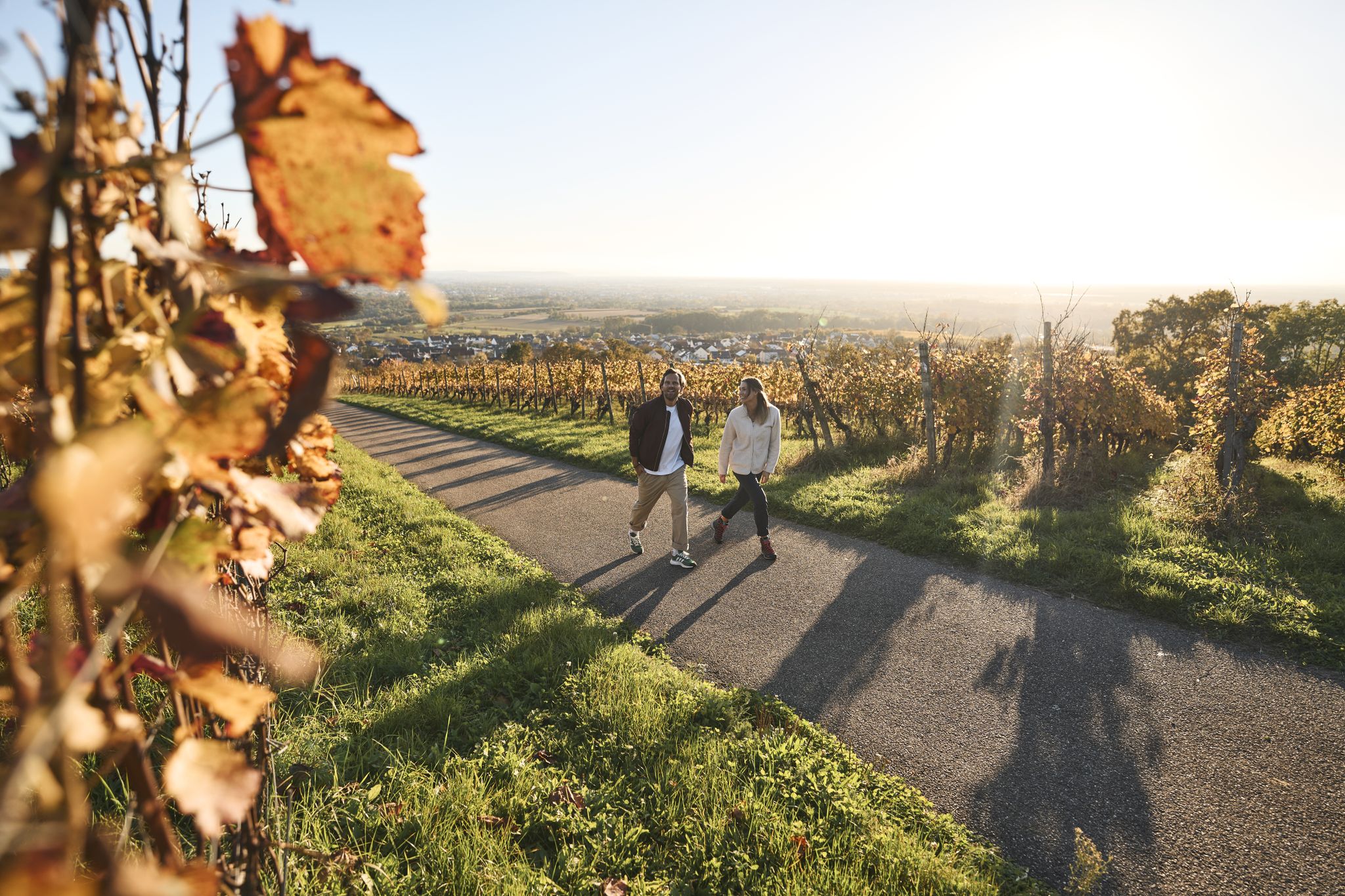
Fine drops and local cuisine – gourmet hiking in the Süden ganz oben
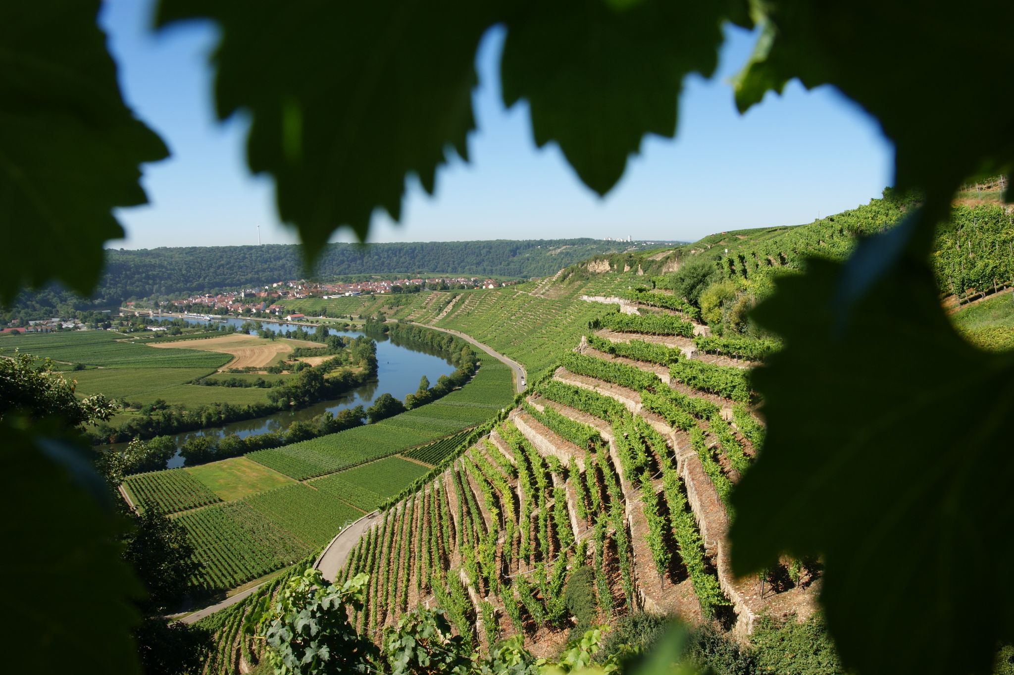
Where the wine grows in loops – hiking in the 3B-Land

Spring in the land of 1,000 hills – Kraichgau-Stromberg in Germany
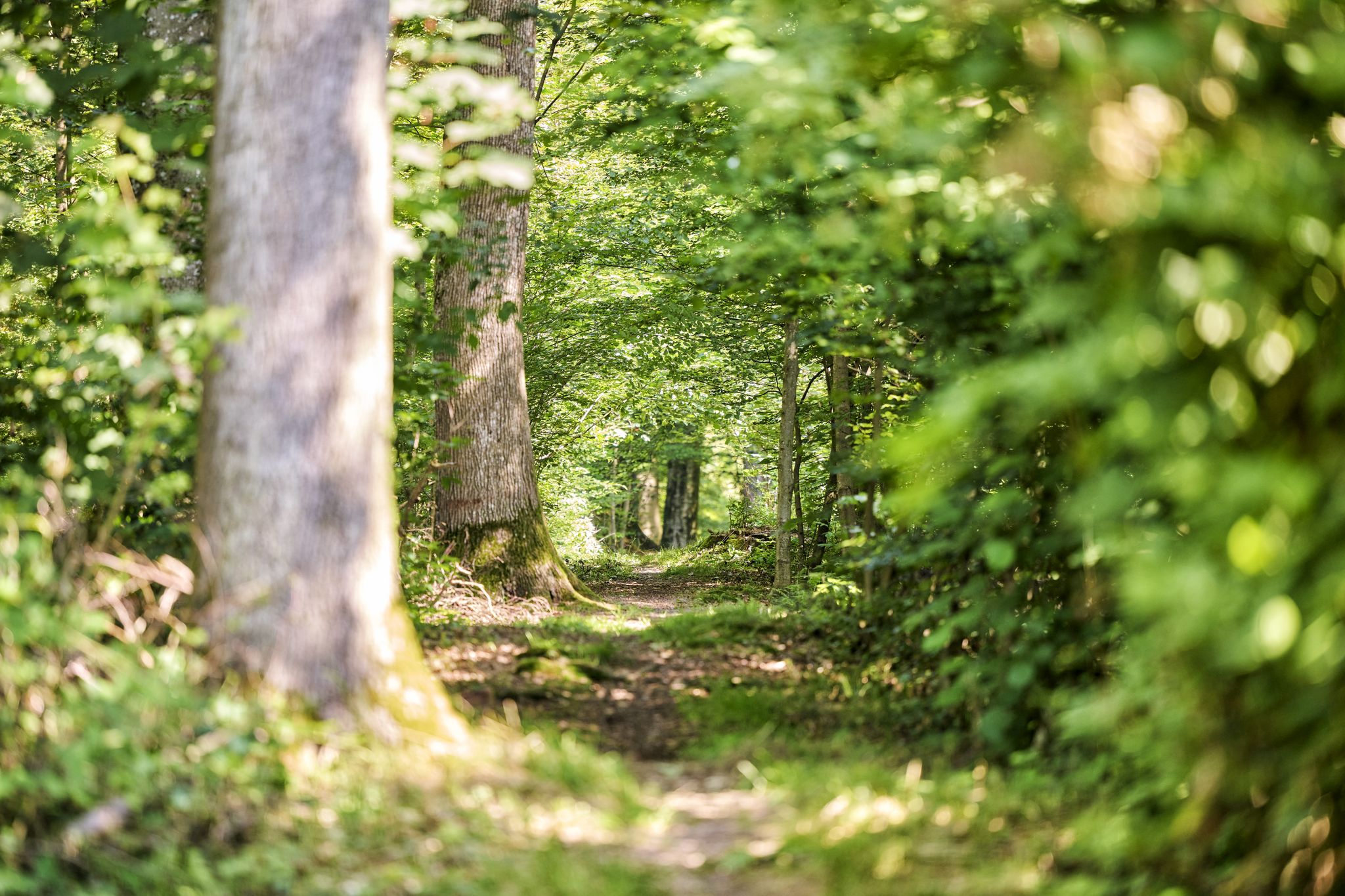
Trail running between woodlands & wine in the Land of 1000 Hills
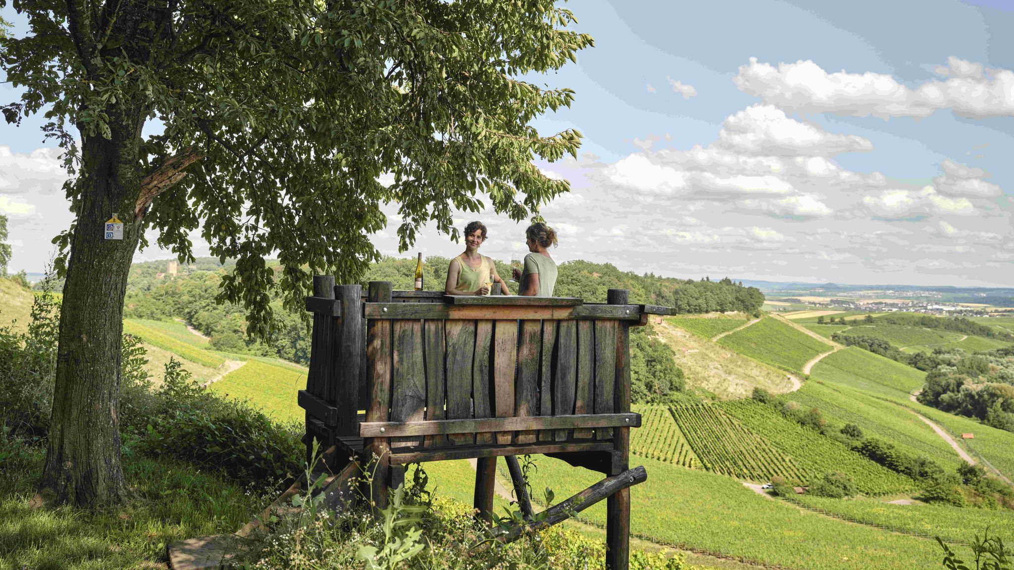
Genusswandern: Auf Wein(wander)wegen durch das Land der 1000 Hügel

Zu Fuß durchs Land der 1000 Hügel
Other adventures around Löchgau


Tips from the Community

a beautiful valley, highly recommended.
0
0

Resting benches with views of the Baumbach valley
0
0


In a truly idyllic setting, a small stone bridge crosses the Baumbach stream. Right next to it is another ford, a possible alternative when the water level is low.
7
0
Frequently Asked Questions
How many bus-accessible hiking trails are available around Löchgau?
There are 18 bus-accessible hiking trails around Löchgau, offering a diverse range of experiences. These routes allow you to explore the picturesque landscapes of the Stromberg-Heuchelberg Nature Park, vineyards, and river valleys without needing a car.
Are there easy hiking trails suitable for beginners or families starting from Löchgau bus stations?
Yes, Löchgau offers several easy bus-accessible trails perfect for beginners or families. One great option is the View of Besigheim – View of Besigheim loop from Löchgau, which is 5.4 km long and features gentle elevation changes, providing lovely views without being too strenuous.
What kind of natural attractions can I expect to see on bus-accessible hikes near Löchgau?
The region around Löchgau is rich in natural beauty. You can explore the scenic Neckar River valley, vineyards, and unique geological formations. Highlights include the View of the Neckar from the Hessigheimer Felsengärten and the intriguing Wobachfelsen Muschelkalk Cliffs near Bietigheim. Many trails also pass through lush forests and along rivers like the Baumbach and Metter.
Are there any circular hiking routes that start and end at a bus station in Löchgau?
Absolutely. Many of the bus-accessible trails around Löchgau are circular, allowing you to return to your starting point easily. For example, the View of Besigheim – Baumbach Ford and Footbridge loop from Löchgau is a moderate 9.1 km circular route that offers varied scenery.
What is the best time of year to go hiking from Löchgau bus stations?
The best times for hiking in Löchgau are spring and autumn. In spring, you'll experience nature flourishing with blooming flowers and active wildlife. Autumn offers a spectacular display of colorful leaves across the vineyards and forests, making for particularly scenic walks.
Are there any historical or cultural landmarks accessible via bus-friendly hiking trails?
Yes, the region has several historical points of interest. While hiking, you might encounter views of historical towns like Besigheim. Notable nearby attractions include the Old Neckar Bridge and the Old town of Bönnigheim, which can be incorporated into your hiking plans.
Can I find trails with good viewpoints or scenic overlooks near Löchgau bus stops?
Definitely. The diverse terrain around Löchgau, including vineyards and river valleys, provides numerous vantage points. The View of the Neckar from the Hessigheimer Felsengärten is a particularly stunning spot, offering panoramic views over the Neckar River and its rugged cliffs.
Are there any moderate difficulty hikes from Löchgau bus stations for more experienced hikers?
For those seeking a moderate challenge, the Brachberg Valley – Valley Trail in the Brachberger Valley loop from Löchgau is an excellent choice. This 7.9 km route takes you through varied terrain with a good amount of elevation gain, offering a rewarding experience.
What do other hikers say about the bus-accessible trails around Löchgau?
The bus-accessible trails around Löchgau are highly regarded by the komoot community, with an average rating of 4.55 out of 5 stars from over 12,500 reviews. Hikers frequently praise the well-maintained paths, the peaceful atmosphere of the vineyards and forests, and the stunning views, especially along the Neckar River.
Are there any family-friendly adventure trails near Löchgau that are accessible by bus?
Yes, families with children can enjoy the "Nature Pure" adventure trail in the wider Löchgau area, which is specifically designed with exciting stations for discovering and exploring nature. While not a specific komoot route listed here, many of the easy trails, like the Löchgau Airfield – Löchgau Glider Airfield loop from Löchgau, are also suitable for families looking for a shorter, less challenging walk.
Are the bus-accessible hiking trails around Löchgau suitable for dogs?
Generally, the natural trails and paths through forests and vineyards around Löchgau are dog-friendly. However, it's always recommended to keep dogs on a leash, especially in nature reserves or near agricultural areas, and to be mindful of local regulations. Always carry water for your dog and clean up after them.
Most popular attractions around Löchgau

Get inspired with the komoot mobile app


Explore more
Browse the best Hikes in other regions.
