The best hikes from bus stations around Königheim
4.6
(3300)
12,054
hikers
55
hikes
Bus station hiking trails around Königheim traverse a diverse natural landscape characterized by gentle hills, dense forests, and the scenic Tauber Valley. The region features expansive vineyards and deep, narrow valleys, offering varied terrain for outdoor activities. Hikers can explore areas with significant natural features like the Hoher Felsen Waterfall and the Haigertal Nature Reserve. The landscape provides a mix of elevations and environments, from open fields to shaded gorges.
Best bus station hiking trails around Königheim
- The most popular bus station hiking route is Rundwanderweg LT 9: Über das Hohe Bild zur Schutzengelkapelle – Tagestouren Liebliches Taubertal, a 9.9 miles (16.0 km) trail that takes 4 hours 34 minutes to complete. This moderate route offers views over the Tauber Valley and passes by the Schutzengelkapelle.
- Another top favourite among local hikers is Meditation hiking trail LT-M4 Way of the Cross, churches and chapels, a moderate 8.1 miles (13.0 km) path. This trail leads through forests and open fields, connecting various religious landmarks.
- Local hikers also love the Dry grasslands in Haigergrund – Königheim Village Center loop from Königheim, a 6.3 miles (10.2 km) trail leading through dry grasslands and the Haigertal Nature Reserve, often completed in about 2 hours 50 minutes.
- Hiking around Königheim is defined by gentle hills, dense forests, and picturesque vineyards, with routes offering views of the Tauber Valley. The network provides options for various ability levels, from easy walks to moderate ascents.
- The routes in Königheim are highly rated by the komoot community with an average score of 4.6 stars from over 3200 reviews. More than 12000 hikers have used komoot to explore Königheim's varied terrain.
Last updated: May 15, 2026
4.4
(14)
71
hikers
Moderate hike. Good fitness required. Mostly accessible paths. Sure-footedness required.
2
hikers
13.0km
03:39
290m
200m
Moderate hike. Good fitness required. Easily-accessible paths. Suitable for all skill levels.

Sign up for free
5.0
(7)
25
hikers
Moderate hike. Good fitness required. Easily-accessible paths. Suitable for all skill levels.
4.8
(4)
25
hikers
6.61km
01:50
120m
120m
Easy hike. Great for any fitness level. Easily-accessible paths. Suitable for all skill levels.
4.0
(2)
14
hikers
7.45km
02:03
120m
120m
Moderate hike. Good fitness required. Easily-accessible paths. Suitable for all skill levels.
Get access to more routes and recommendations from other explorers.
Sign up for free
Already have an account?
Our route recommendations are based on thousands of hikes, rides, and runs completed by other people on komoot.
Start today with a free account
Your next adventure awaits.
Login or Signup

Other adventures around Königheim

Tips from the Community

A beautiful city
3
0

Idyllic expanse: A landscape full of harmony"
0
0

The market square of Tauberbischofsheim is the vibrant center of the city and a popular meeting place for locals and visitors. Surrounded by historic buildings and charming half-timbered houses, the market square offers a unique atmosphere.
14
1

Whoever eats my flesh and drinks my blood remains in me and I in him. Text a little faded, but a big promise
0
0

There are many rare plants and animals here
0
0

was built from 1839 to 1842 and is dedicated to the apostles Peter and Paul.
1
0
Here are some places where the lady's slipper grows
0
0

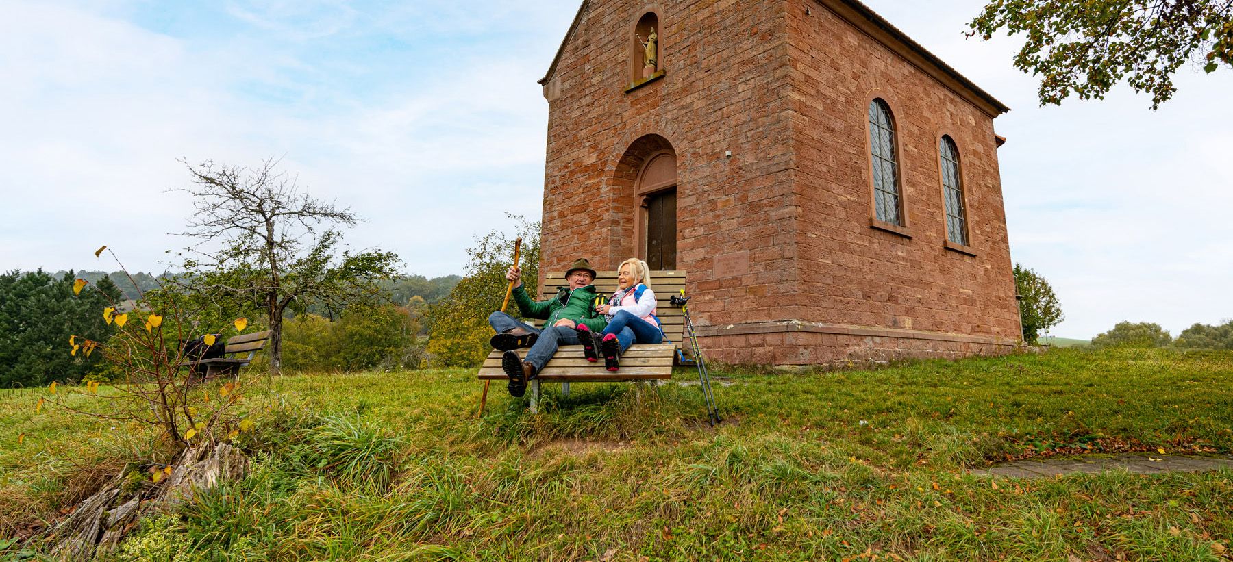
Beautiful little chapel in the middle of the forest. Worth seeing.
0
0
Frequently Asked Questions
How many bus-accessible hiking trails are available around Königheim?
There are over 50 hiking trails around Königheim that are easily accessible by bus, offering a wide range of options for all skill levels. This includes 34 easy routes, 20 moderate routes, and a couple of more challenging paths.
What kind of natural landscapes can I expect to see on these bus-accessible trails?
The trails around Königheim, particularly those accessible by bus, traverse a diverse landscape. You'll encounter gentle hills, dense forests, and picturesque vineyards, especially within the scenic Tauber Valley. Some routes also lead through deep, narrow valleys and gorges, offering a varied natural experience.
Are there easy, family-friendly hikes accessible by bus in Königheim?
Yes, Königheim offers numerous easy and family-friendly hiking options that are well-connected by bus. These routes are generally shorter with less elevation gain, perfect for a relaxed outing. An example is the Hohes Bild loop from Königheim, which is an easy 6.6 km trail.
Can I find circular hiking routes that start and end at a bus stop?
Absolutely. Many of the trails around Königheim are designed as circular routes, making them ideal for bus accessibility as you can start and finish at the same bus stop. For instance, the Dry grasslands in Haigergrund – Königheim Village Center loop is a moderate 10 km circular hike that offers beautiful views.
Are there any trails that feature waterfalls or gorges near Königheim?
Yes, the region boasts several natural highlights accessible from bus stops. You can explore areas with impressive natural features like the Hoher Felsen Waterfall (Steppbach) and Gorge, where the Steppbach stream cascades approximately 7 meters. Other notable gorges include Fuchsloch Gorge in Teilungstal.
What historical landmarks or points of interest can I discover on these hikes?
Hiking trails around Königheim often lead to interesting landmarks. You might encounter parts of the "Drei-Türme-Wanderwege" (Three Towers Hiking Trails) which include observation towers offering panoramic views. While not directly on a bus route, the impressive Schloss Weikersheim is also a destination for some longer hikes in the region.
What is the best time of year to go hiking around Königheim?
The most enjoyable seasons for hiking around Königheim are spring and autumn. During these times, the natural scenery is particularly vibrant, with blooming flowers in spring and colorful foliage in autumn. The weather is also generally mild, providing comfortable conditions for exploring the trails.
Are there any meditative or tranquil hiking options accessible by bus?
Yes, the "Liebliches Taubertal" area, which includes Königheim, features meditative paths designed for tranquility. An example is the Meditation hiking trail LT-M4 Way of the Cross, churches and chapels, a moderate 13 km route that passes through forests and open fields, offering expansive views and a peaceful atmosphere.
What do other hikers say about the trails around Königheim?
The hiking trails around Königheim are highly regarded by the komoot community, with an average rating of 4.6 out of 5 stars. Hikers frequently praise the well-maintained paths, the diverse scenery ranging from forests to vineyards, and the accessibility of many routes via public transport.
Are dogs allowed on the hiking trails around Königheim?
Generally, dogs are welcome on the hiking trails around Königheim. However, it's always recommended to keep your dog on a leash, especially in nature reserves like the Haigertal, near livestock, or in areas with wildlife. Please also ensure you clean up after your pet to maintain the natural beauty of the trails.
How long do the bus-accessible hikes typically take?
The duration of bus-accessible hikes around Königheim varies significantly depending on the route's length and your pace. You can find shorter walks, like the Königheim Village Center – View of Dienstadt loop which takes around 2 hours, up to longer day tours such as the Rundwanderweg LT 9, which can take over 4.5 hours.
Most popular routes around Königheim
Most popular attractions around Königheim

Get inspired with the komoot mobile app


Explore more
Browse the best Hikes in other regions.
