The best hikes from bus stations around Remshalden
4.3
(865)
3,646
hikers
77
hikes
Bus station hiking trails around Remshalden traverse a landscape characterized by the Rems Valley, extensive vineyards, and rolling hills. The region features dense forests and prominent Keuperstufenberge, offering varied terrain for outdoor activities. Hikers can explore paths along the Rems River, through cultivated vineyards, and up to elevated viewpoints. This diverse topography provides a range of routes for different preferences.
Best bus station hiking trails around Remshalden
- The most popular bus station hiking route is REMSTAL Vinomaten route 1 –…
Last updated: September 30, 2026
4.7
(43)
189
hikers
7.40km
02:03
130m
130m
Moderate hike. Good fitness required. Easily-accessible paths. Suitable for all skill levels.
4.7
(65)
225
hikers
Moderate hike. Good fitness required. Easily-accessible paths. Suitable for all skill levels.

4.0
(69)
160
hikers
Easy hike. Great for any fitness level. Easily-accessible paths. Suitable for all skill levels.
4.7
(19)
87
hikers
Moderate hike. Good fitness required. Easily-accessible paths. Suitable for all skill levels.
4.2
(30)
116
hikers
9.20km
02:35
190m
190m
Moderate hike. Good fitness required. Easily-accessible paths. Suitable for all skill levels.
Get access to more routes and recommendations from other explorers.
Already have an account?
Our route recommendations are based on thousands of hikes, rides, and runs completed by other people on komoot.
Start today with a free account
Your next adventure awaits.
Popular around Remshalden
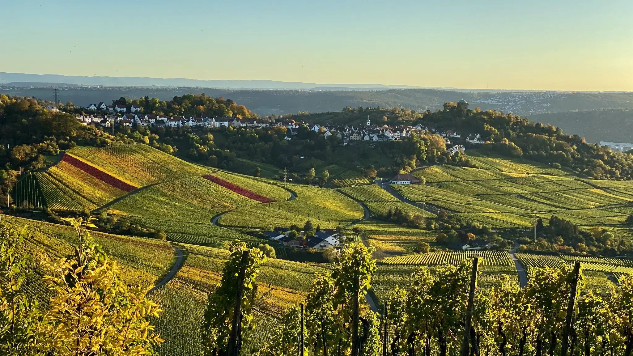
Rems Valley Trail near Stuttgart – Endlessly beautiful 11 stages
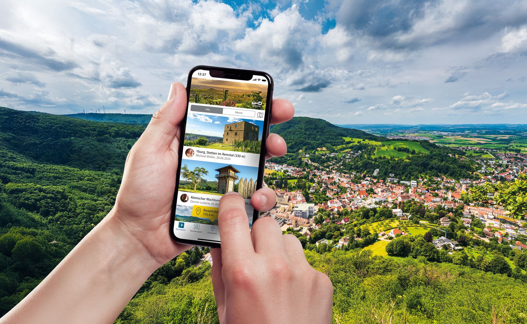
Hiking in the Remstal – digital hiking badges for real adventures
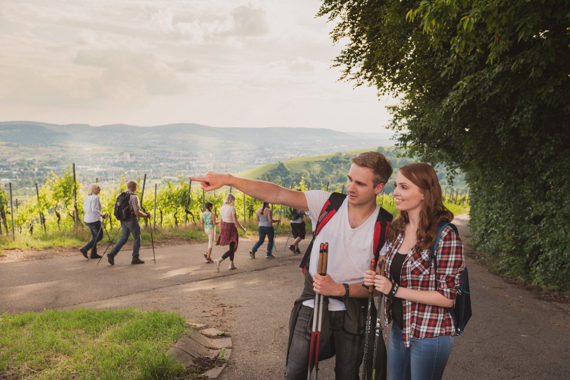
Delights for the palate and far-reaching views – wine hiking in the Rems Valley
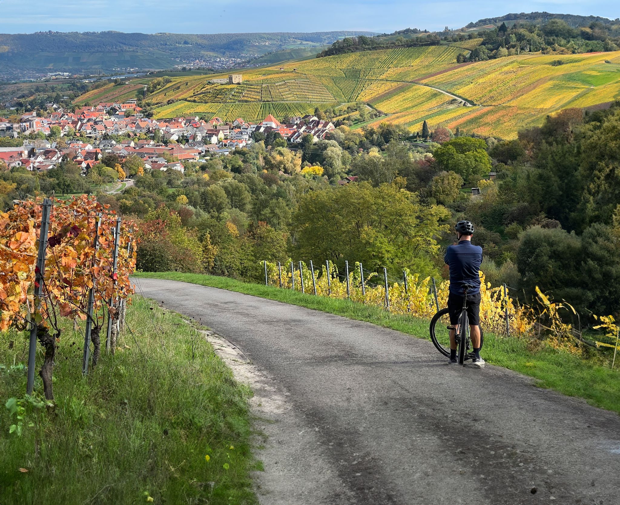
Vineyards, riversides and sunsets – cycling in the Rems Valley
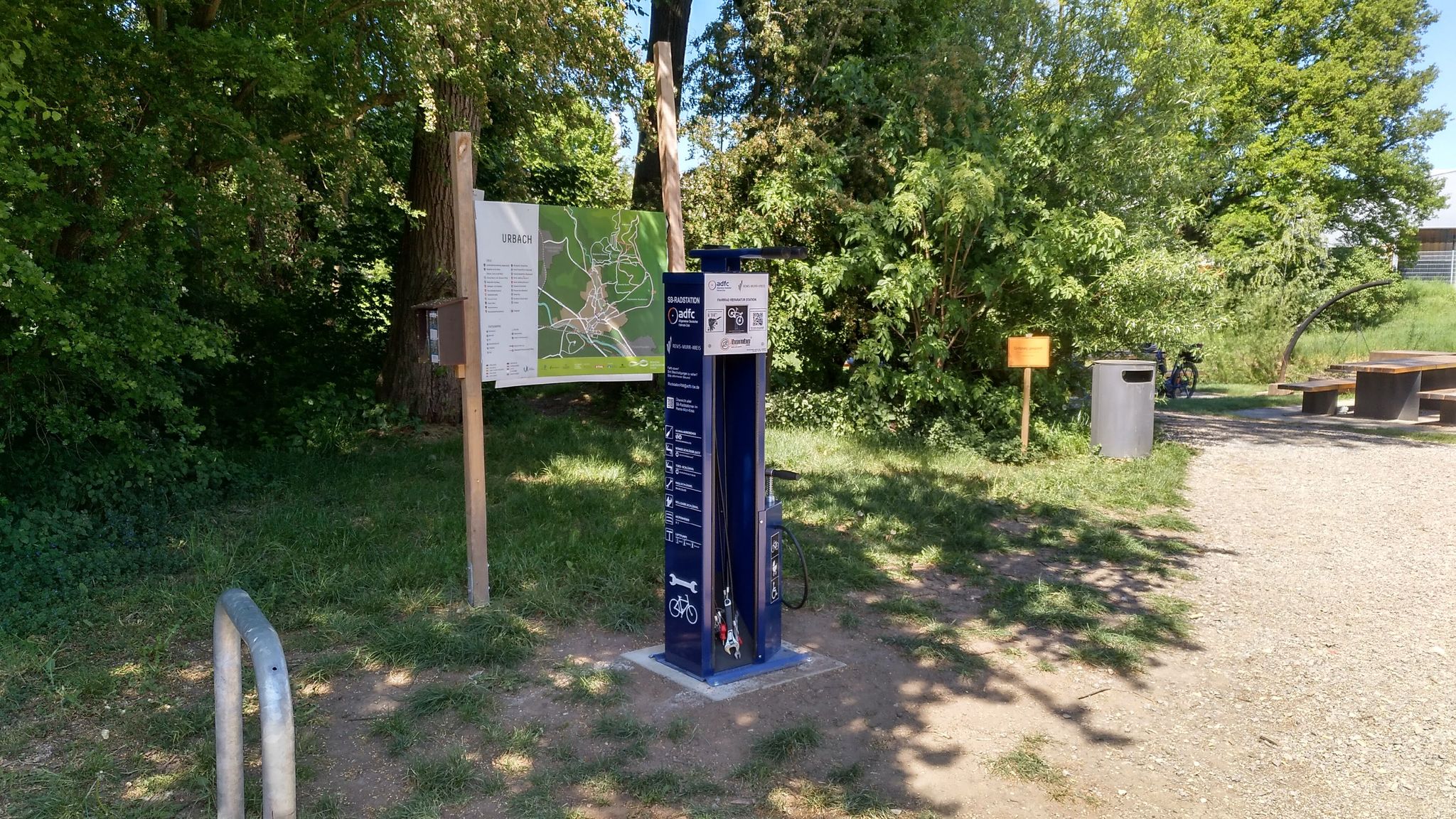
Bicycle service stations in Rems-Murr-Kreis
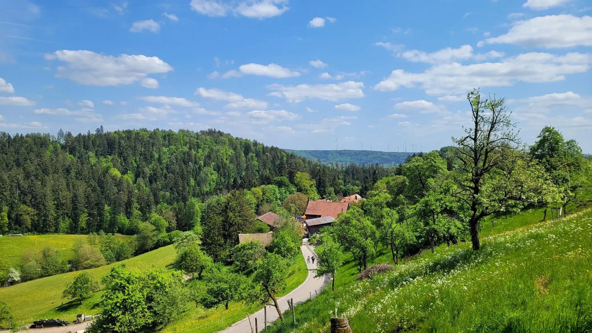
Aktiv in die längeren Tage – Frühlingsradeln vor den Toren Stuttgarts
Other adventures around Remshalden


Tips from the Community

When the older ones need a rest, the little ones come alive. Here you can play, romp, and barbecue.
0
0

Buocher Höhe - beautiful panoramic view
0
0

The Buocher Höhe is a huge recreational area between Winnenden and Remshalden. Numerous barbecue areas are available. An outdoor fitness studio is also available. From here, you can explore the area in all directions. https://youtu.be/DS0M79GWgAA
0
0
Not far from the Buocher Höhe is the Buocher Spitz. It's nowhere near as crowded as the Buocher Höhe. It offers shady spots, a barbecue area, and some playground equipment. From here, it's not far to the Grunbach Waterfalls. https://youtu.be/zLXFfidT7Ss
0
0
Right next to the Korb shooting range is the barbecue and playground area at Hörnleskopf. It offers several play structures and a barbecue grill. It gets quite busy on weekends. The Hanweiler Saddle is a popular starting point for numerous hikes in our region. https://youtu.be/uENS3q4GiOY
0
0
The Buocher Höhe is a huge recreational area between Winnenden and Remshalden. Numerous barbecue areas are available. An outdoor fitness studio is also available. From here, you can explore the area in all directions. https://youtu.be/DS0M79GWgAA
0
0


Nice playground and rest area. If you don't want to grill yourself, you can also enjoy a meal in the nearby beer garden.
0
0
Frequently Asked Questions
How many bus station hiking trails are available in Remshalden?
There are over 75 hiking routes in Remshalden that are easily accessible from bus stations. These trails offer a diverse range of experiences, from leisurely strolls to more challenging day hikes.
What is the general difficulty level of bus-accessible hikes in Remshalden?
The majority of bus-accessible hikes in Remshalden are considered easy to moderate. Out of 78 routes, 56 are easy and 22 are moderate, making the area suitable for a wide range of fitness levels. There are no difficult routes listed in this selection.
What do other hikers say about the trails around Remshalden?
The hiking trails around Remshalden are highly regarded by the komoot community, with an average rating of 4.3 out of 5 stars from nearly 800 reviews. Hikers often praise the picturesque landscapes, well-maintained paths, and the variety of views, especially those over the Rems Valley and vineyards.
Are there any bus-accessible routes that feature waterfalls?
Yes, you can find routes that pass by the Grunbach Waterfall. For example, the Grunbach Waterfall – View of the Remstal Valley loop offers varied forest paths and views of the waterfall. Another option is the Grunbach Waterfall – St. Sebastian's Church, Buoch loop, which also includes this natural highlight.
Can I find family-friendly hiking trails accessible by bus?
Many of Remshalden's bus-accessible trails are suitable for families, with numerous easy routes and gentle elevation changes. The Remsuferweg, for instance, offers a tranquil setting along the river with opportunities for children to play. The trails are generally well-maintained and provide resting places, making them comfortable for all ages.
Are there circular routes starting from bus stops in Remshalden?
Yes, many of the bus-accessible routes in Remshalden are circular, allowing you to start and end your hike at the same bus stop. This makes planning your trip by public transport very convenient. An example is the View of the Remstal Valley – St. Sebastian's Church, Buoch loop, which offers splendid views.
What kind of scenic views can I expect on these bus-accessible trails?
The bus-accessible trails in Remshalden offer a variety of scenic views, including panoramic vistas over the Rems Valley, rolling hills, and expansive vineyards. Points like the Friedenseiche provide impressive views. The Keuperstufenberge, such as the Kleinheppacher Kopf and Korber Kopf, are known for their breathtaking panoramas. You can experience some of these views on the Friedenseiche – View of the Remstal Valley loop.
Are there routes that go through vineyards?
Absolutely. Remshalden is nestled within the Remstal wine region, and many trails lead directly through picturesque vineyards, especially around Grunbach. The REMSTAL Vinomaten route 1 is a prime example, taking you through the vineyards in Gundelsbacher Tal and offering insights into the local winemaking culture.
Are dogs allowed on these bus-accessible hiking trails?
Generally, dogs are welcome on the hiking trails in Remshalden. It's always advisable to keep your dog on a leash, especially in nature reserves, near livestock, or in busy areas. Please ensure you carry waste bags and respect local regulations.
What interesting sights or landmarks can I explore along these routes?
Along the bus-accessible routes, you can discover various points of interest. These include natural features like the Eichensee and the Old Quarry Lake. You might also encounter historical buildings, such as the church of St. Johannes Baptist in Geradstetten, or visit the "Alte Kelter" museum in Grunbach, which showcases the history of winegrowing.
When is the best time of year to hike near Remshalden bus stations?
Remshalden offers beautiful hiking experiences throughout the year. Spring and summer are particularly recommended for vineyard hikes when the landscape is lush and green. Autumn provides stunning colors, especially in the forests and vineyards. Even in winter, the well-maintained paths can be enjoyed, offering a peaceful atmosphere.
How well are the bus-accessible trails marked in Remshalden?
The hiking trails in Remshalden are generally very well-signposted, making navigation straightforward. The municipality provides a comprehensive hiking guide with 17 distinct routes, ensuring clear directions and an enjoyable experience for hikers.
Most popular routes around Remshalden
Most popular attractions around Remshalden

Get inspired with the komoot mobile app


Explore more
Browse the best Hikes in other regions.
