The best hikes from bus stations around Braunsbach
4.6
(5417)
23,380
hikers
77
hikes
Bus station hiking trails around Braunsbach navigate a landscape shaped by the meandering Kocher River, its tributary the Orlacher Bach, and surrounding wooded hills. The region is characterized by picturesque river valleys, such as the Reichenbach Valley, and extends up to the Hohenlohe Plateau, offering varied terrain. Hikers encounter diverse mixed forests, clearings, and viewpoints overlooking the Kocher Valley, with routes often featuring moderate elevation changes.
Best bus station hiking trails around Braunsbach
- The most popular bus station hiking route…
Last updated: June 27, 2026
4.7
(39)
153
hikers
7.69km
02:06
110m
110m
Moderate hike. Good fitness required. Easily-accessible paths. Suitable for all skill levels.
4.9
(12)
64
hikers
12.3km
03:34
320m
320m
Moderate hike. Good fitness required. Easily-accessible paths. Suitable for all skill levels.

Sign up for free
4.5
(21)
80
hikers
7.60km
02:07
130m
130m
Moderate hike. Good fitness required. Easily-accessible paths. Suitable for all skill levels.
4.4
(14)
63
hikers
10.4km
02:56
220m
220m
Moderate hike. Good fitness required. Easily-accessible paths. Suitable for all skill levels.
4.5
(23)
84
hikers
8.12km
02:14
130m
130m
Moderate hike. Good fitness required. Easily-accessible paths. Suitable for all skill levels.
Get access to more routes and recommendations from other explorers.
Sign up for free
Already have an account?
Our route recommendations are based on thousands of hikes, rides, and runs completed by other people on komoot.
Start today with a free account
Your next adventure awaits.
Login or Signup


Tips from the Community

View towards Cröffelbach
0
0

The village square was renovated after the severe storm of May 29, 2016, when it was badly damaged. The redesign of the village square was implemented in conjunction with the flood protection measures in the upper reaches of the Klingenbach stream. The square's redesign was completed in April 2020 at a total cost of €193,328.04, with support from state funding in Baden-Württemberg. €35,000 was provided from the equalization fund, and a further €81,230.27 was granted from the Rural Development Program (ELR). Suggestions and ideas from the residents of Cröffelbach were incorporated into the new square's design. For example, the existing fountain was retained, with only the basin being replaced. A water feature with a shallow flow invites children and adults to splash and cool off.
0
0


Beautiful and worth seeing complex which today serves as a retirement home;
0
0

From here you have a really nice view of the castle
3
0

Info center
2
2

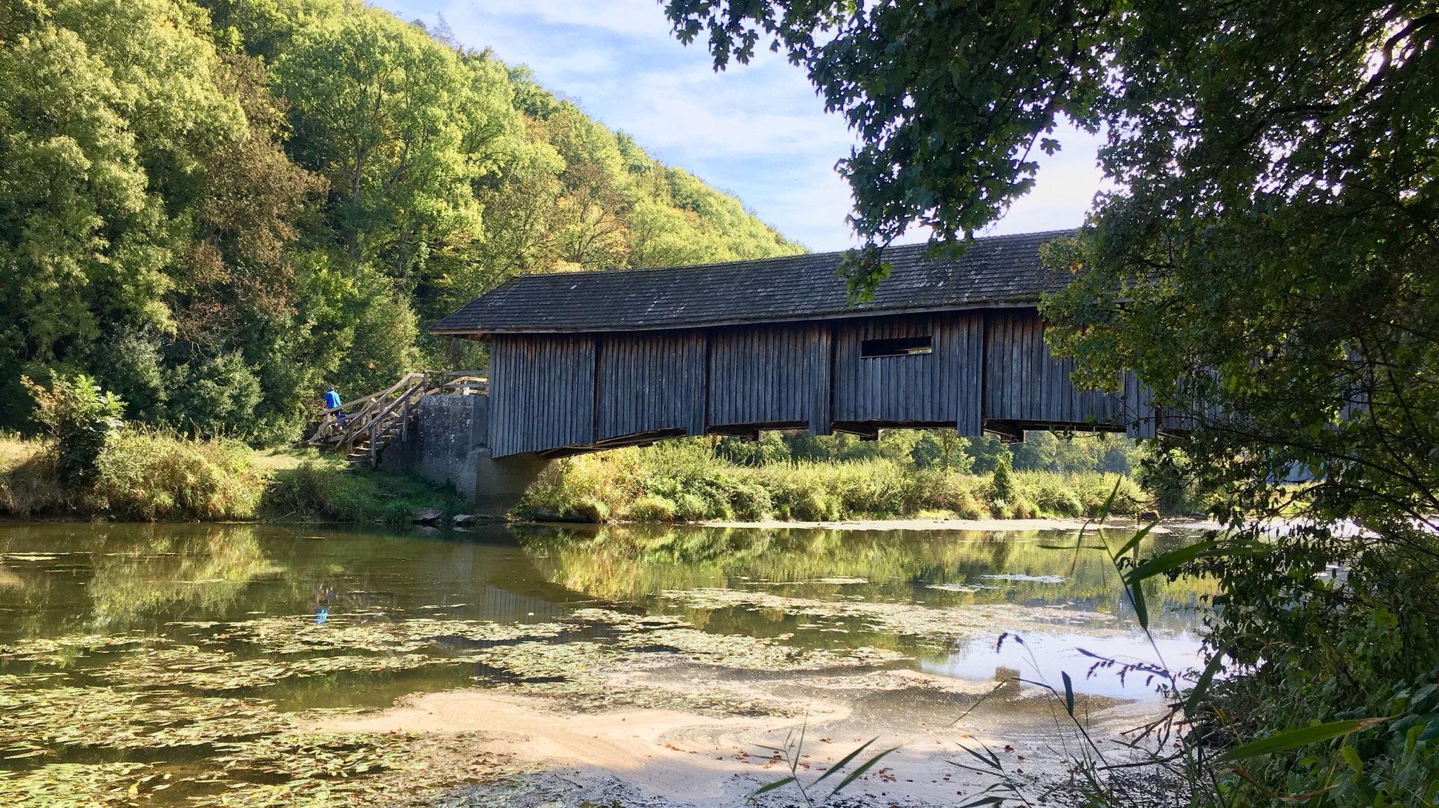
Super bridge. As if there had never been another bridge, it connects Braunsbach with towns towards KÜN
1
0
Frequently Asked Questions
How many bus-accessible hiking trails are available around Braunsbach?
There are over 70 hiking routes around Braunsbach that are easily accessible by bus, offering a wide range of experiences for all skill levels. This includes 25 easy routes, 45 moderate routes, and 8 more challenging options.
Are there easy bus-accessible hikes suitable for beginners or families in Braunsbach?
Yes, Braunsbach offers several easy bus-accessible hikes perfect for beginners or families. Many routes feature gentle terrain through the Kocher Valley or lead to points of interest. For example, the region's 'Fairytale Trail' is ideal for families, combining nature exploration with engaging stories and riddles. You can find 25 easy routes in total that are suitable.
Which bus-accessible trails offer the best scenic views in the Braunsbach area?
Many bus-accessible trails in Braunsbach provide stunning views, especially those that ascend from the river valleys to the Hohenlohe plateau. Routes like the Braunsbach Town Gate – Kochertal Bridge loop from Braunsbach offer unique perspectives of the impressive Kochertalbrücke, one of Europe's highest bridges, and the picturesque Kocher Valley. The Reichenbach Valley also features viewpoints overlooking the Kocher.
Are there any bus-accessible hiking trails that lead to waterfalls in Braunsbach?
Yes, the region boasts a dedicated 'waterfall tour' along the Buchsbach stream. This trail, which can be accessed via public transport, leads to an impressive waterfall, winding through dense forests and offering spectacular natural scenery.
What historical landmarks or natural attractions can I explore on bus-accessible hikes near Braunsbach?
Bus-accessible hikes around Braunsbach can lead you to a variety of interesting sites. You can explore historical castles like Langenburg Castle Gardens or Künzelsau Castle and Town Hall. The Braunsbach Town Gate – Kochertal Bridge loop offers views of the iconic Kochertalbrücke. Additionally, the 'Jüdischer Kulturweg Braunsbach' provides insights into the region's Jewish history, passing former synagogues and cemeteries.
Are there circular hiking routes starting from bus stations in Braunsbach?
Yes, many of the bus-accessible hiking trails around Braunsbach are designed as circular routes, allowing you to start and end your hike conveniently at the same bus stop. An example is the Ulrich Chapel, Cröffelbach – Geislinger Mill loop from Grimmbachmündung, which offers a moderate circular experience.
What is the best time of year to enjoy bus-accessible hiking trails in Braunsbach?
The best seasons for hiking in Braunsbach, including bus-accessible trails, are generally spring and autumn. During these times, nature is vibrant with colorful flower meadows or deciduous forests, and the weather is typically pleasant for outdoor activities. The Kocher Valley and surrounding hills are particularly beautiful.
Are there dog-friendly bus-accessible trails around Braunsbach?
Many of the natural trails around Braunsbach are suitable for hiking with dogs, provided they are kept on a leash where required. The diverse landscapes of wooded hills and river valleys offer plenty of opportunities for you and your canine companion to explore together. Always check local regulations for specific areas.
Are there cafes or places to eat near bus-accessible hiking trails in Braunsbach?
Yes, Braunsbach and its surrounding villages offer various opportunities for refreshments. Many routes pass through or near small towns and hamlets where you can find cafes, restaurants, or traditional inns to enjoy a break and local cuisine after your hike. Döttingen Castle, for instance, now serves as a hotel and restaurant.
What do other hikers appreciate most about the bus-accessible trails in Braunsbach?
The bus-accessible trails in Braunsbach are highly rated by the komoot community, with an average score of 4.58 stars from over 5,000 ratings. Hikers often praise the diverse landscapes, the well-maintained paths, and the convenience of reaching beautiful natural areas without needing a car. The blend of river valleys, wooded hills, and cultural landmarks is frequently highlighted.
Are there more challenging bus-accessible hikes for experienced hikers in Braunsbach?
Yes, for experienced hikers seeking more challenge, Braunsbach offers 8 difficult bus-accessible routes. These trails often feature steeper ascents and descents, leading up to the Hohenlohe plateau or through more rugged sections of the Kocher Valley, providing a rewarding workout and expansive views.
Most popular routes around Braunsbach
Most popular attractions around Braunsbach

Get inspired with the komoot mobile app


Explore more
Browse the best Hikes in other regions.
