The best hikes from bus stations around Rauhenebrach
4.6
(7005)
27,223
hikers
54
hikes
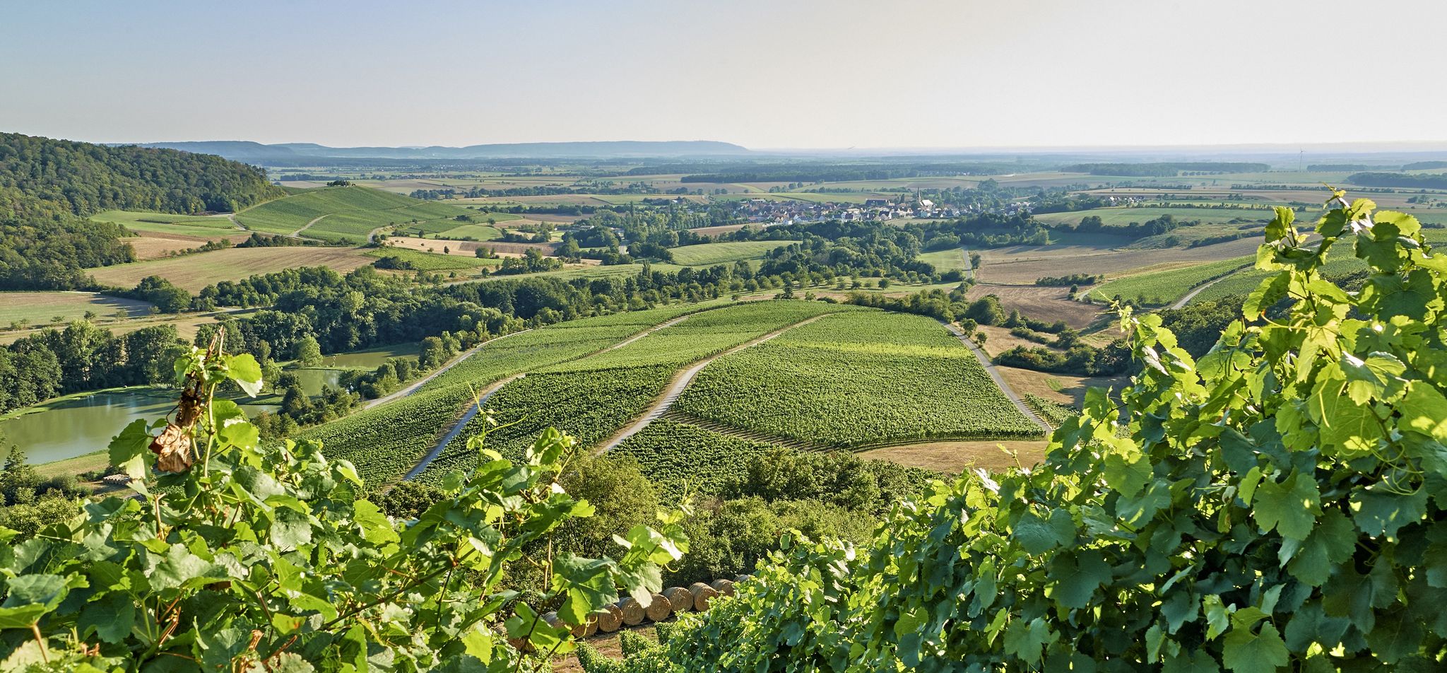
Bus station hiking trails around Rauhenebrach are situated within the Steigerwald, a wooded low mountain range characterized by extensive beech forests and gentle hills. The region features diverse natural landscapes, including the scenic Böhlbach Valley and ancient tree stands. This area provides varied terrain for hiking, with elevations generally under 200 meters, offering panoramic views across the Franconian landscape.
Best bus station hiking trails around Rauhenebrach
- The most popular bus station hiking route is Steigerwald-Runde Three Forests Trail, a 9.1 miles (14.6 km) trail that takes 4 hours 5 minutes to complete. This route leads primarily through the beech forests of the Steigerwald.
- Another top favourite among local hikers is Hochspring (Wotansborn) Spring – Erlesbach-Brünnla loop from Rauhenebrach, a moderate 8.9 miles (14.3 km) path. This trail explores natural springs and forest areas near Rauhenebrach.
- Local hikers also love the Waldgeisterweg Theinheim – Enchanted Tree Sculpture loop from Theinheim, a 5.6 miles (9.1 km) trail leading through varied forest landscapes, often completed in about 2 hours 30 minutes.
- Hiking around Rauhenebrach is defined by extensive beech forests, gentle rolling hills, and the tranquil Böhlbach Valley. The network offers options for different ability levels, from easy walks to moderate forest trails.
- The routes in Rauhenebrach are highly rated by the komoot community with an average score of 4.6 stars from more than 6,600 reviews. More than 27,000 hikers have used komoot to explore Rauhenebrach's varied terrain.
Last updated: June 27, 2026
4.8
(83)
282
hikers
14.6km
04:05
290m
290m
Moderate hike. Good fitness required. Easily-accessible paths. Suitable for all skill levels.
4.7
(76)
282
hikers
Easy hike. Great for any fitness level. Easily-accessible paths. Suitable for all skill levels.

Sign up for free
4.1
(8)
42
hikers
9.62km
02:40
170m
170m
Moderate hike. Good fitness required. Easily-accessible paths. Suitable for all skill levels.
3.9
(7)
26
hikers
14.2km
03:51
190m
190m
Moderate hike. Good fitness required. Easily-accessible paths. Suitable for all skill levels.
4.8
(9)
25
hikers
9.06km
02:30
150m
150m
Moderate hike. Good fitness required. Easily-accessible paths. Suitable for all skill levels.
Get access to more routes and recommendations from other explorers.
Sign up for free
Already have an account?
Our route recommendations are based on thousands of hikes, rides, and runs completed by other people on komoot.
Start today with a free account
Your next adventure awaits.
Login or Signup

Tips from the Community

Forest dwellers have already found shelter with King Charles and have already damaged him a lot
0
0
A beautiful sculpture trail, but wind and weather, rain and snow, cold and heat, the forest's inhabitants leave their mark on the sculptures, so that some have already suffered significant weather damage. Growing vegetation in the forest also often makes it impossible to get close to the sculptures. Surely, the artists will have to create new sculptures in the coming years to breathe new life into the trail.
0
0
Wayside chapel, round-arched niche on a base with a profiled cover plate, late neoclassical, probably first half of the 19th century
0
0

With many wooden sculptures along the way…
0
0
Small chapel on the way….
0
0

Classic Marian shrine in a beautiful landscape setting.
0
0
Idyllic sculpture trail with interesting woodwork.
1
0
Frequently Asked Questions
How many hiking trails are accessible from bus stations around Rauhenebrach?
There are over 50 hiking trails in the Rauhenebrach region that are easily accessible from bus stations. These routes offer a variety of experiences, from easy strolls to more challenging treks through the picturesque Steigerwald.
Are there easy hiking trails accessible from bus stops in Rauhenebrach?
Yes, you'll find plenty of easy options. Approximately 21 of the trails are rated as easy. A great example is the Enchanted Tree Sculpture – Source of Life Sculpture loop from Theinheim, which is just over 5 km long and features minimal elevation gain, making it perfect for a relaxed outing.
Are there challenging hikes reachable by bus in Rauhenebrach?
While most routes are moderate, there are 4 trails rated as difficult for those seeking a greater challenge. For a moderate yet rewarding experience, consider the Steigerwald-Runde Three Forests Trail, which covers nearly 15 km through the beautiful beech forests and offers a true nature immersion.
What natural features can I expect to see on hikes from Rauhenebrach's bus stops?
The region is rich in natural beauty. You'll encounter extensive beech forests, particularly in the Ebracher Forst, and scenic areas like the Böhlbach Valley, known for its diverse flora. Keep an eye out for ancient trees, such as the Kilianseiche, and unique spots like the Wotansborn, an old-growth beech island. The rolling hills of the Steigerwald also provide numerous panoramic views.
Are there any interesting landmarks or attractions along these bus-accessible routes?
Absolutely. Many trails lead past or near fascinating points of interest. You might discover historical sites like the Stollberg Hill, which offers panoramic views and is historically significant. Other highlights include the Zabelstein Observation Tower and Ruins, providing excellent vistas over the Franconian landscape.
Are the bus station hiking trails in Rauhenebrach suitable for families with children?
Yes, many trails are family-friendly. The region offers easy hiking suitable for all fitness levels, with paths often leading through enchanting forests. Routes like the Enchanted Tree Sculpture – Source of Life Sculpture loop from Theinheim are shorter and less strenuous, making them ideal for families.
Can I bring my dog on hikes accessible by bus in Rauhenebrach?
Generally, dogs are welcome on the hiking trails in Rauhenebrach. The extensive forests provide a great environment for walks with your canine companion. However, always ensure your dog is kept on a leash, especially in nature protection areas or near wildlife, and remember to clean up after them.
What is the best time of year to hike from bus stations in Rauhenebrach?
The Steigerwald region is beautiful year-round. Spring is particularly lovely in areas like the Böhlbach Valley, with its diverse flora coming to life. Autumn offers stunning colors in the extensive beech forests. Summer provides pleasant shade under the tree canopy, while winter can offer serene, snow-covered landscapes, though some paths might be more challenging.
Are there circular hikes starting from bus stops in Rauhenebrach?
Yes, many of the trails are designed as circular routes, allowing you to start and end your hike conveniently at the same bus stop. The Hochspring (Wotansborn) Spring – Erlesbach-Brünnla loop from Rauhenebrach is a great example of a circular route, offering a diverse experience without needing to retrace your steps.
What do other hikers enjoy the most about hiking in Rauhenebrach?
The area is highly rated by the komoot community, with an average score of 4.58 stars. Reviewers often praise the tranquil and restorative outdoor environment, the well-preserved forests, and the unique ancient trees. The lack of mass tourism also contributes to a peaceful hiking experience.
Are there any specific forest areas or valleys worth exploring near Rauhenebrach?
Definitely. The Ebracher Forst is a central feature, and within it, the Böhlbach Valley is particularly scenic, known for its natural stream and diverse plant life. Another notable area is the "Kleinengelein" forest educational path near Obersteinbach, home to one of Germany's oldest beech forests, offering a unique glimpse into ancient woodland.
Most popular routes around Rauhenebrach
Most popular attractions around Rauhenebrach

Get inspired with the komoot mobile app


Explore more
Browse the best Hikes in other regions.
