The best hikes from bus stations around Kupferzell
4.6
(6054)
26,506
hikers
72
hikes
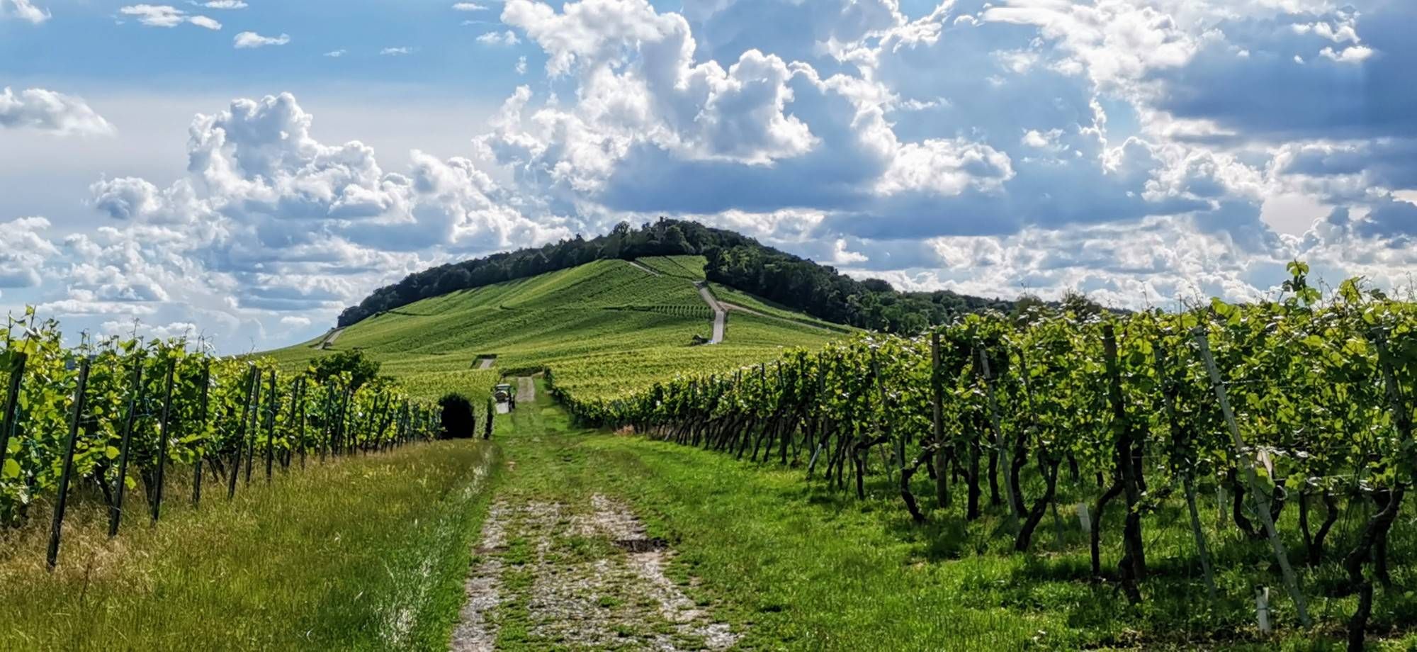
Bus station hiking trails around Kupferzell traverse a diverse landscape characterized by rolling hills, expansive fields, and dense forests. The region features a rich mix of gentle swells and deeply incised ravines, with the picturesque Kocher River flowing through the area. Hikers can explore agriculturally shaped plains and wooded mountains, including access to the edge of the Schwäbisch-Fränkischer Wald Nature Park. This varied topography provides a range of terrains for outdoor activities.
Best bus station hiking trails around Kupferzell
- The…
Last updated: June 27, 2026
4.2
(17)
50
hikers
9.34km
02:35
160m
160m
Moderate hike. Good fitness required. Easily-accessible paths. Suitable for all skill levels.
4.8
(5)
33
hikers
Easy hike. Great for any fitness level. Easily-accessible paths. Suitable for all skill levels.

Sign up for free
5.0
(3)
16
hikers
4.89km
01:18
50m
50m
Easy hike. Great for any fitness level. Easily-accessible paths. Suitable for all skill levels.
5.0
(3)
11
hikers
8.35km
02:10
60m
60m
Moderate hike. Good fitness required. Easily-accessible paths. Suitable for all skill levels.
5.0
(2)
8
hikers
7.56km
02:04
110m
110m
Moderate hike. Good fitness required. Easily-accessible paths. Suitable for all skill levels.
Get access to more routes and recommendations from other explorers.
Sign up for free
Already have an account?
Our route recommendations are based on thousands of hikes, rides, and runs completed by other people on komoot.
Start today with a free account
Your next adventure awaits.
Login or Signup


Tips from the Community

Stork's nest on the old chimney
0
0
Generationspark Kupferzell in Hohenlohe
0
0
View of Waldenburg Hohenlohe
0
0
Discovered while cycling in Hohenlohe
0
0
Marketplace seen during the bike ride
0
0
Former railway line discovered while cycling
0
0

The "Duck Killer" drove along the railway line here.
0
0
Frequently Asked Questions
How many hiking trails are accessible directly from bus stations in Kupferzell?
There are over 75 hiking trails in Kupferzell that are easily accessible from local bus stations, offering a wide variety of options for all skill levels. These routes allow you to explore the region's diverse landscapes without needing a car.
Are there easy, family-friendly hiking routes accessible by bus in Kupferzell?
Yes, Kupferzell offers several easy, family-friendly routes accessible by bus. A great option is the Generations Park Kupferzell – Kupfer River Nature Experience loop from Kupferzell. This 5.4 km path along the picturesque Kocher River is ideal for a gentle walk and is suitable for families with children. The region's varied topography, with gentle swells and accessible paths, makes it perfect for all ages.
What kind of terrain and natural features can I expect on bus-accessible hikes around Kupferzell?
Hikes around Kupferzell, accessible from bus stations, feature a diverse landscape of rolling hills, expansive fields, and dense forests. You'll encounter paths along the scenic Kocher River, offering accessible and often flat terrain, as well as routes with more varied topography, including deeply incised ravines and wooded areas. The region is also on the edge of the Schwäbisch-Fränkischer Wald Nature Park, providing access to unspoiled nature.
Are there any moderate hiking trails reachable by bus for more experienced hikers?
Absolutely. For those seeking a moderate challenge, the Old Town Hall Döttingen – View of Döttingen loop from Eschental is a popular choice. This 9.3 km route features an elevation gain of over 160 meters and offers scenic views of the Hohenlohe landscape. Another moderate option is the Schafhof Estate – Generations Park Kupferzell loop from Kupferzell, which is 8.1 km long.
Can I find circular hiking routes that start and end at a bus station in Kupferzell?
Many of the hiking routes accessible from bus stations in Kupferzell are designed as circular paths, allowing you to start and finish your journey at the same point. This makes planning your public transport return journey straightforward. For example, the View of the Quarry – View of Rüblingen loop from Rüblingen is an easy circular route that begins and ends in Rüblingen.
What are the best times of year to go hiking from Kupferzell's bus stations?
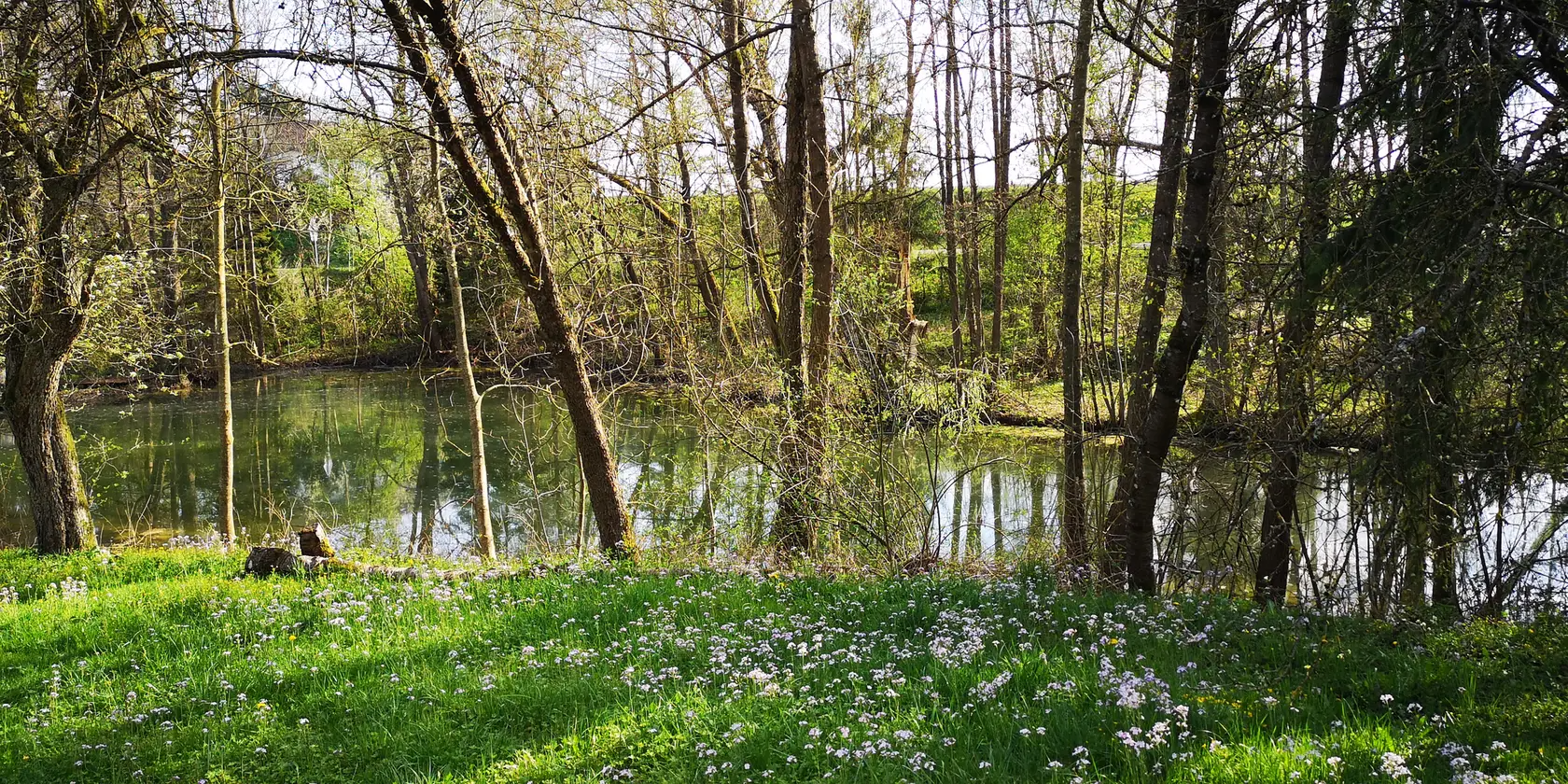
Kupferzell offers beautiful hiking experiences throughout the year. Spring brings blooming meadows, summer provides shady forest paths, and autumn showcases vibrant foliage. While most routes are enjoyable year-round, the varied topography means some paths might be muddy after rain or challenging in heavy snow. Always check local weather conditions before heading out.
Are there any viewpoints or panoramic vistas on hikes accessible by public transport?
Yes, the region offers rewarding viewpoints. While not a specific route in this guide, the nearby Schlossberg provides an impressive panoramic view over Kupferzell and the surrounding Hohenlohe landscape. Many routes, such as the Old Town Hall Döttingen – View of Döttingen loop from Eschental, also offer scenic vistas as you traverse the rolling hills.
Are there any interesting natural attractions or landmarks to see along these bus-accessible trails?
Yes, several trails offer access to natural beauty and points of interest. You can find routes that pass by the picturesque Kocher River, offering accessible paths and picnic spots. While hiking, you might also encounter highlights like the Starkholzbacher Lake or the Lake Neumühl, which are part of the region's natural charm. The extensive Schwäbisch-Fränkischer Wald Nature Park also borders the area, providing rich flora and fauna.
What do other hikers enjoy most about hiking in Kupferzell?
The hiking trails around Kupferzell are highly rated by the komoot community, with an average score of 4.56 stars. Reviewers often praise the region's diverse and appealing landscape, the variety of terrains for all levels, and the accessibility of routes, especially those along the Kocher River. The well-maintained trails and the opportunity to explore unspoiled nature are frequently highlighted.
Are there any routes that feature lakes or water bodies?
Yes, some routes in the Kupferzell area will bring you close to beautiful water bodies. While not directly on every bus-accessible route, the region features several lakes like Starkholzbacher Lake and Lake Neumühl. The Generations Park Kupferzell – Kupfer River Nature Experience loop, for instance, follows the Kocher River, providing a pleasant waterside experience.
Are the bus-accessible hiking trails in Kupferzell suitable for dogs?
Many of the trails in Kupferzell are dog-friendly, allowing you to enjoy the beautiful Hohenlohe landscape with your canine companion. It's always recommended to keep dogs on a leash, especially in agricultural areas or near wildlife, and to carry water for them. The varied terrain, from open fields to forest paths, offers plenty for dogs to explore.
Most popular routes around Kupferzell
Most popular attractions around Kupferzell

Get inspired with the komoot mobile app


Explore more
Browse the best Hikes in other regions.
