The best hikes from bus stations around Wiesbaum
4.5
(19810)
72,222
hikers
21
hikes
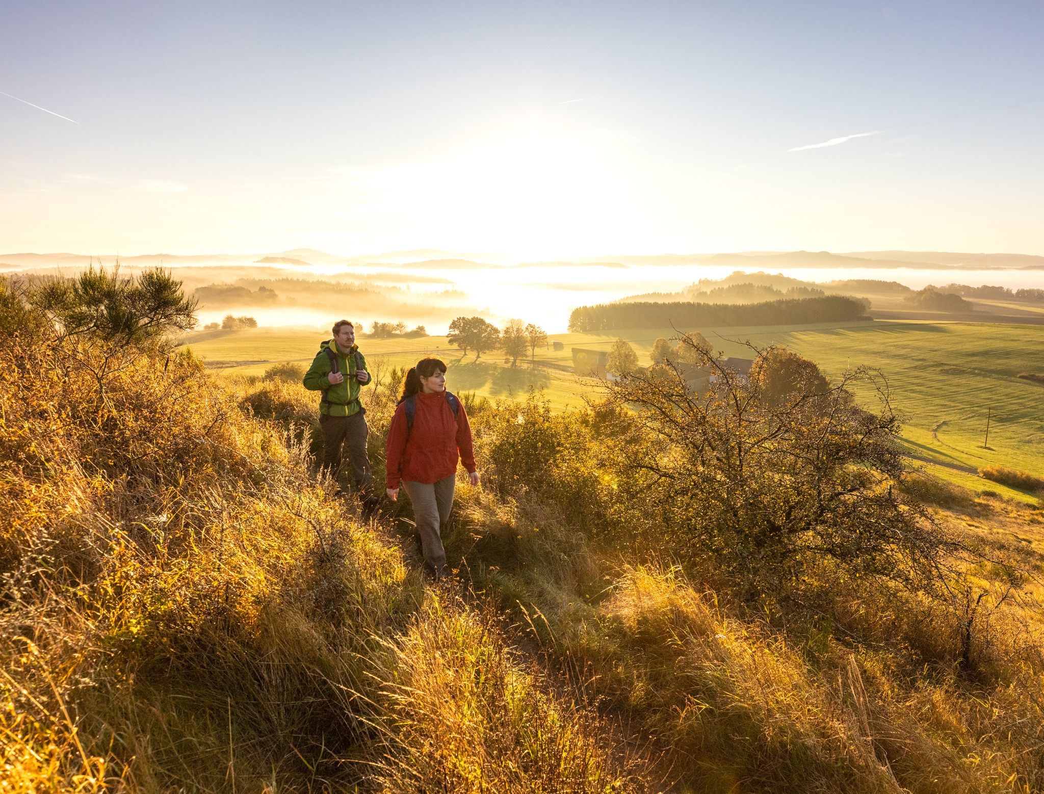
Bus station hiking trails around Wiesbaum offer access to the diverse landscapes of the Vulkaneifel district, characterized by rolling hills, lush meadows, and dense forests. The region features prominent natural elements such as the Lieser River and the extinct volcanic cone of Maarberg. Hikers can explore a network of paths that traverse natural surfaces, including segments of the Eifelsteig, with minimal paved sections.
Best bus station hiking trails around Wiesbaum
- The most popular bus station hiking route is Dreimühlen Waterfall…
Last updated: June 27, 2026
4.8
(38)
152
hikers
27.6km
07:30
410m
410m
Hard hike. Very good fitness required. Easily-accessible paths. Suitable for all skill levels.
4.7
(36)
151
hikers
25.3km
06:54
390m
390m
Hard hike. Very good fitness required. Easily-accessible paths. Suitable for all skill levels.

Sign up for free
4.7
(21)
67
hikers
15.6km
04:15
220m
220m
Moderate hike. Good fitness required. Easily-accessible paths. Suitable for all skill levels.
4.9
(10)
33
hikers
Easy hike. Great for any fitness level. Easily-accessible paths. Suitable for all skill levels.
5.0
(2)
20
hikers
8.69km
02:20
110m
110m
Moderate hike. Good fitness required. Easily-accessible paths. Suitable for all skill levels.
Get access to more routes and recommendations from other explorers.
Sign up for free
Already have an account?
Our route recommendations are based on thousands of hikes, rides, and runs completed by other people on komoot.
Start today with a free account
Your next adventure awaits.
Login or Signup
Popular around Wiesbaum
Other adventures around Wiesbaum

Tips from the Community

From large stone blocks, a barrier has been erected around the area - for good reason - signs indicate a prohibition of entry, which should absolutely be observed for your own safety. Partially, fossil inclusions are recognizable in the stone blocks from the hiking trail.
0
0

Beautiful. Relaxed hiking is the order of the day here.
1
0

Dreamlike resting place with a fireplace and shelters. Also well suited for overnight stays. Wonderful view of the volcanoes.
0
0
Unfortunately, it is still permanently closed. However, it looks like a very nice place.
0
0

There is a bridge nowadays.
3
0

The Lampertsbach is a ten-kilometer-long tributary of the Ahr, which rises in the Eifel town of Esch as the Frömmelsbach and is fed on its way into the Ahr by the tributaries Odenbach, Rohrtaler Bach, Mirbach, Wierstaler Bach and Wammesbach.
0
0

Very nice large rest area
0
0

A beautiful, well-maintained shelter with picnic benches and a table. The hikers' parking lot is right next door.
0
0
Frequently Asked Questions
How many bus station hiking trails are available around Wiesbaum?
There are over 20 hiking trails accessible directly from bus stations around Wiesbaum, offering a variety of options for all skill levels.
Are there any easy, family-friendly hikes accessible by bus in Wiesbaum?
Yes, for an easy and family-friendly option, consider the Mirbach Redeemer Chapel – Bridge Over the Lampertsbach loop from Wiesbaum. This route is just over 5 km and offers gentle terrain, perfect for a relaxed outing. The region's trails along the Lieser River are also known for being well-suited for families due to their relatively flat and easy-to-manage terrain.
Can I find trails with waterfalls near Wiesbaum that are accessible by bus?
Absolutely! The region is home to the impressive Dreimühlen Waterfall. You can experience it on the challenging Dreimühlen Castle Ruins – Dreimühlen Waterfall loop from Wiesbaum, which is a longer route starting from a bus station.
What kind of natural landscapes can I expect on these bus-accessible hikes?
The bus-accessible hikes around Wiesbaum traverse diverse landscapes typical of the Vulkaneifel, including rolling hills, lush meadows, and dense forests. Many paths consist of natural surfaces through these environments. You'll also find unique features like juniper conservation areas near Mirbach, which are rich in wildflowers and butterflies, and segments along the scenic Lieser River.
Are there any circular routes starting from a bus station?
Yes, many of the trails are circular routes designed for convenience. For example, the Mirbach Redeemer Chapel – Mirbach Redeemer Chapel loop from Wiesbaum is a moderate 15.5 km circular hike that offers a great experience.
What do other hikers enjoy most about hiking from bus stations in Wiesbaum?
The komoot community highly rates the hiking experiences around Wiesbaum, with an average score of 4.55 out of 5 stars from over 18,600 ratings. Hikers often praise the region's diverse and scenic landscapes, the well-maintained natural paths, and the convenience of accessing beautiful trails directly from public transport stops.
When is the best time of year to hike around Wiesbaum?
The most favorable seasons for hiking in Wiesbaum are spring, when the natural environment awakens with vibrant blooms, and autumn, when the forests transform into a spectacular display of colors. Both seasons offer pleasant temperatures and stunning scenery.
Are there any historical sites or landmarks along the bus-accessible trails?
Yes, some routes incorporate historical elements. For instance, the challenging Dreimühlen Waterfall – Kerpen Castle (Eifel) loop from Wiesbaum includes Kerpen Castle. You can also find the Lampertstal, a notable gorge, which is part of the route Mirbach Redeemer Chapel – Bridge Over the Lampertsbach loop from Wiesbaum.
Are there any moderate difficulty hikes available from bus stops?
Certainly. A good moderate option is the Mirbach Redeemer Chapel – Em Backes Hiking Hut loop from Wiesbaum. This 8 km route provides a rewarding experience without being overly strenuous, taking you past the Mirbach Redeemer Chapel and to a hiking hut.
Can I find trails that lead to viewpoints or scenic overlooks?
While not directly listed in the routes, the region's Maarberg, an extinct volcanic cone, offers breathtaking views over the surrounding area and is a popular destination for hikers. Many trails in the Vulkaneifel district will naturally lead to elevated points with scenic vistas.
Are there any trails that pass by lakes or other water bodies?
While the listed bus-accessible routes focus on other features, the Wiesbaum area is close to several beautiful lakes. You can find highlights like Lake Freilinger and Eichholzmaar in the wider region, which might be accessible via connecting trails or a short additional journey.
Most popular routes around Wiesbaum
Most popular attractions around Wiesbaum

Get inspired with the komoot mobile app


Explore more
Browse the best Hikes in other regions.
